Discover Bike Worldwide

Lane Tobin
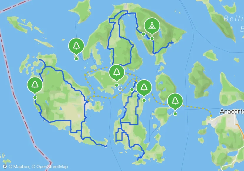
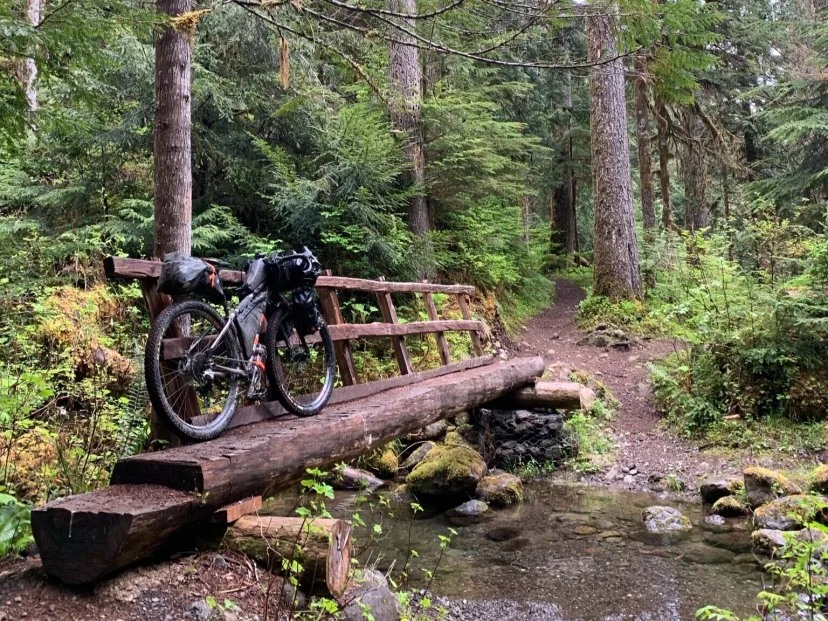
San Juans Bike Packing Tour
Map by Lane Tobin
Mason Wolters

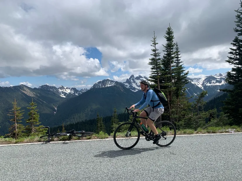
Rainier Sunrise Bike Climb
At an elevation of 6400 feet, Sunrise is the highest point attainable by vehicle in Mount Rainier. Its flowery meadows, hiking trails, and in-your-face view of the Mountain make it the second most visited location in the park. It is also one of the last areas in the park to open to vehicle traffic—typically late June to early July. This later opening presents the opportunistic bicyclist with a chance to experience an epic road climb into Mount Rainier car-free. Webcam: https://www.nps.gov/media/webcam/view.htm?id=81B4642A-1DD8-B71B-0B91DBD2C476DCBD Guide: https://wabikes.org/index.php/2014/06/12/car-free-mount-rainier-nows-time/
Backtrack
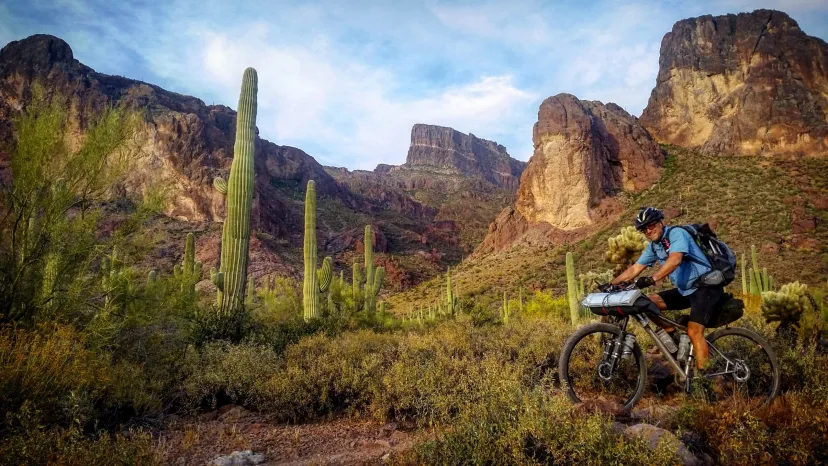
Arizona Trail Race
The Arizona Trail Race is an unofficial challenge that takes place every year on the cross-state Arizona Trail. Two distances are available. The Arizona Trail 300 is a 300-mile event that has been held every April since 2006. The Arizona Trail 800 is the complete traversal (Mexico->Utah) and was offered for the first time in 2010 as the AZTR750. Both events are run concurrently, starting on the same day, but in different locations and at different times. This is not an organized or sanctioned event in any way. It’s simply a group of friends out to ride their bikes on the same route at the same time. We’ll probably compare times afterwards, but more importantly, we’ll compare experiences — the highs and lows the trail and mountains offered us.
Backtrack
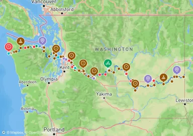
Cross Washington Mountain Bike Route
The Cross-Washington Mountain Bike Route (XWA) is a 690 mile, mostly off-road bikepacking route from the Pacific Ocean to the Washington/Idaho border. The route features a mixture of singletrack, dirt roads, and a bit of pavement as it crosses the Evergreen State passing through an incredibly diverse slice of terrain. Find the Full route guide at bikepacking.com/routes/cross-washington-xwa
Backtrack
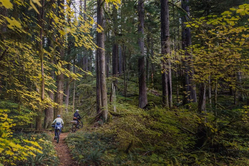
Oregon Timber Trail
The Oregon Timber Trail is 700 miles of trail and backcounty roads along Oregon’s mountain spine from California to the Columbia River Gorge. It runs south to north and travels through a variety of mountainous landscapes and small communities. The Oregon Timber Trail is inspired by the Pacific Crest Trail and other long distance routes. What sets it apart is that it’s designed with mountain biking in mind - about 60 percent of the route is trail open to biking. Some people ride the entire route in a few weeks and others take a month or more. Some just ride one section at a time and space out the journey over several years. The OTT corridor also includes rides that last only a weekend or a day. Learn more at oregontimbertrail.org
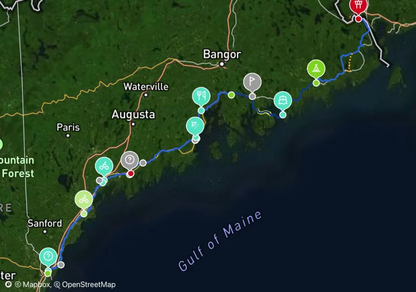
Sam Harris
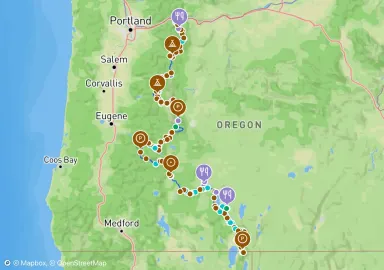
Maine Coast Bike Tour
Map by Sam Harris
