Parking
Parking
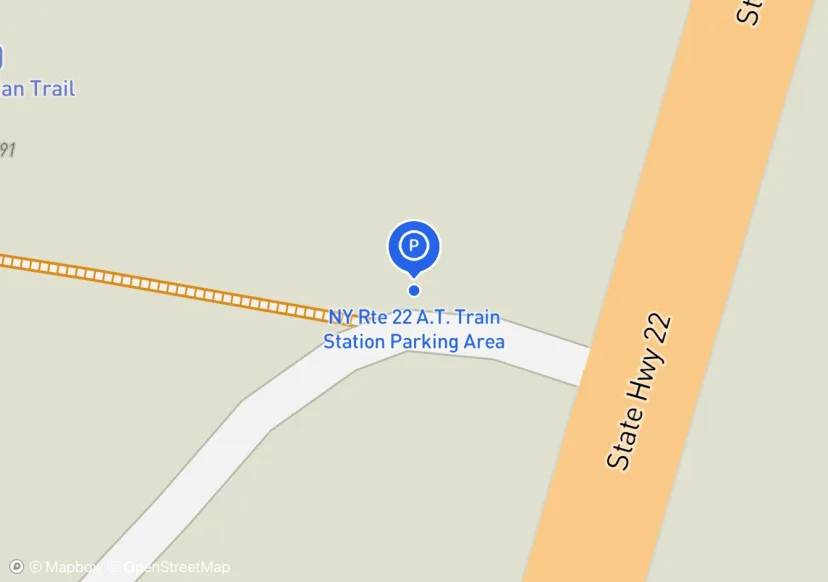
NY Rte 22 A.T. Train Station Parking Area
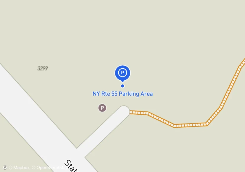
NY Rte 55 Parking Area
Adjusted based on Aerial Imagery
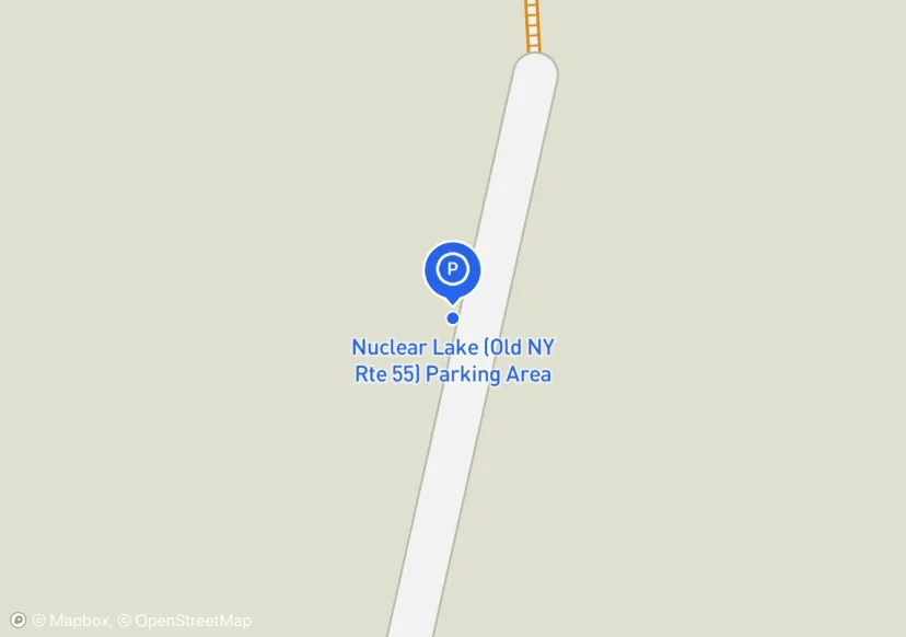
Nuclear Lake (Old NY Rte 55) Parking Area
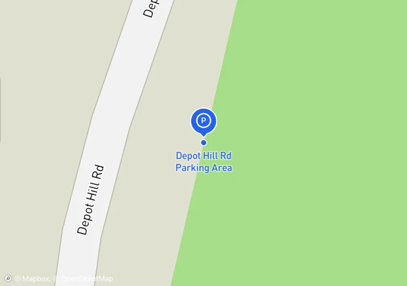
Depot Hill Rd Parking Area
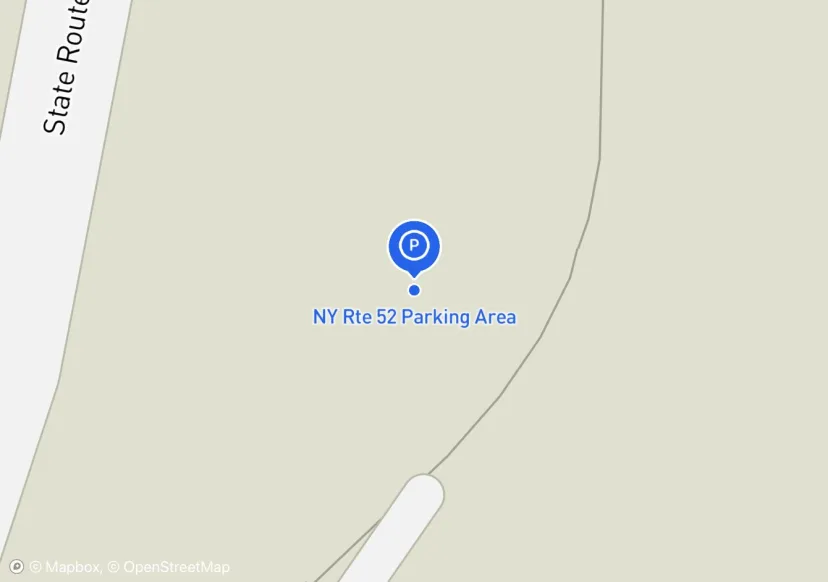
NY Rte 52 Parking Area
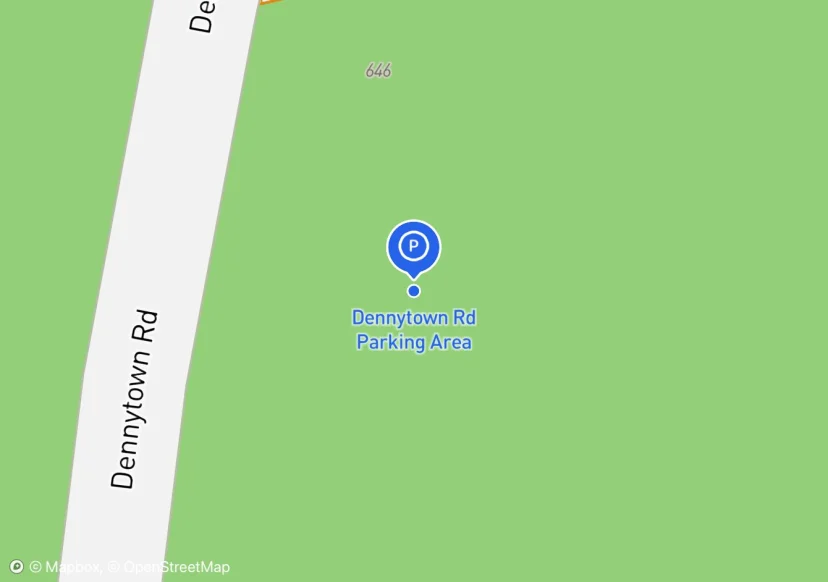
Dennytown Rd Parking Area
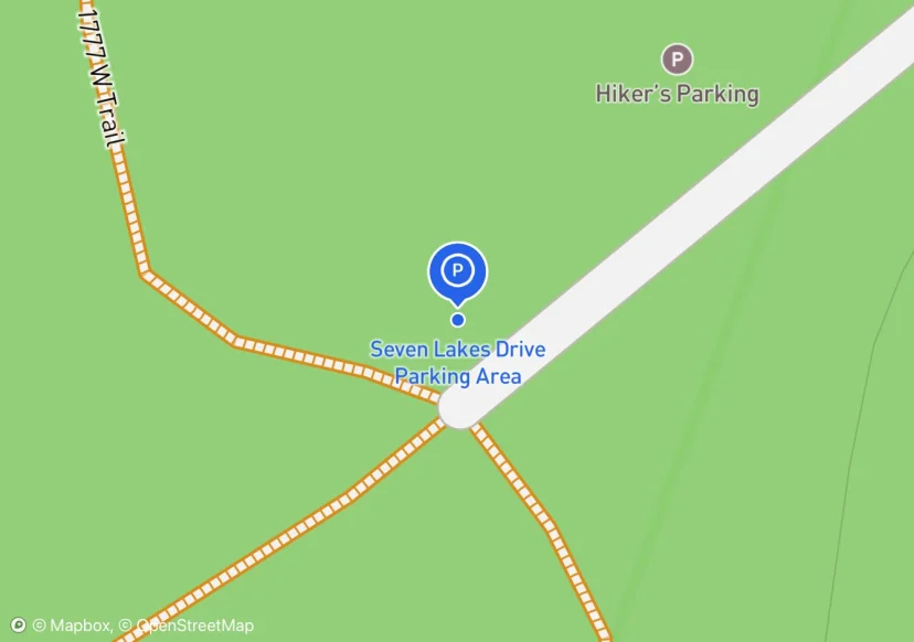
Seven Lakes Drive Parking Area
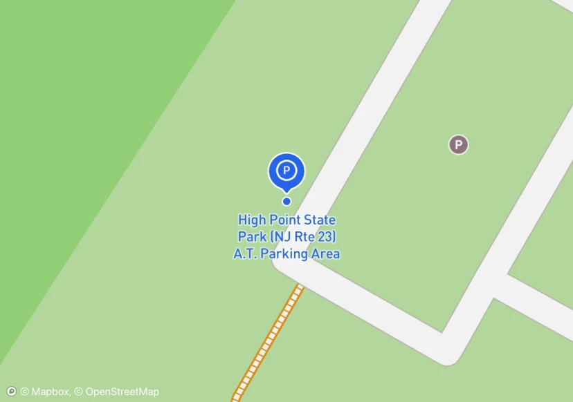
High Point State Park (NJ Rte 23) A.T. Parking Area
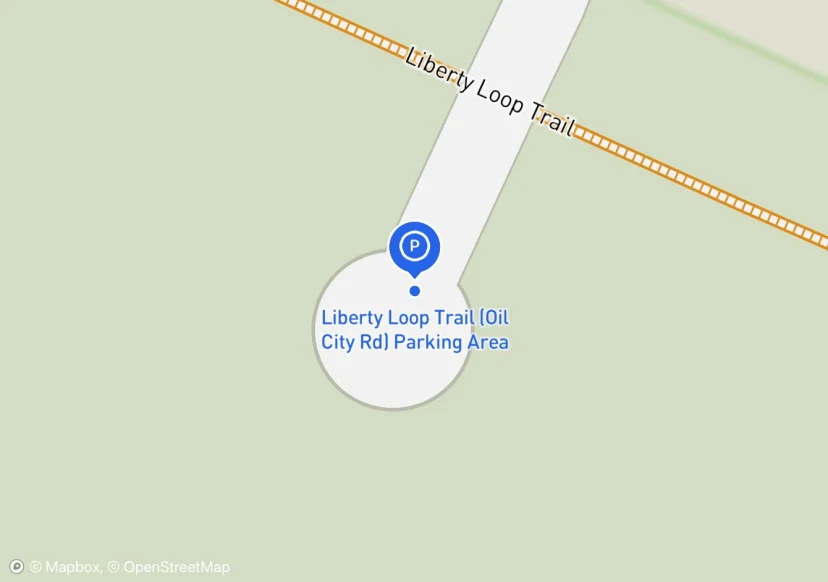
Liberty Loop Trail (Oil City Rd) Parking Area
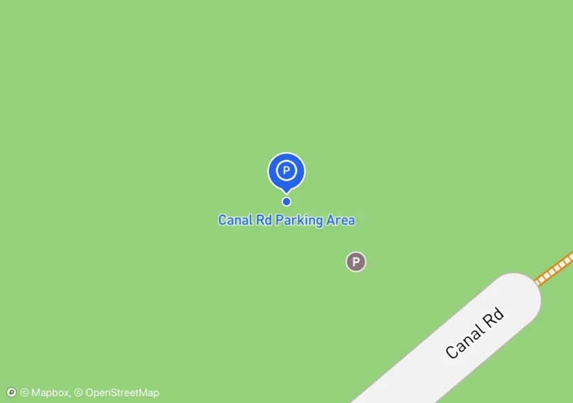
Canal Rd Parking Area
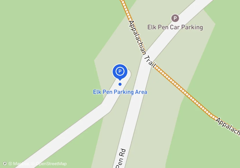
Elk Pen Parking Area
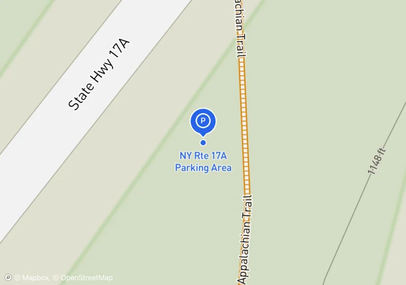
NY Rte 17A Parking Area
Club plans to install kiosk
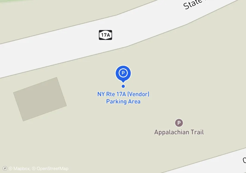
NY Rte 17A (Vendor) Parking Area
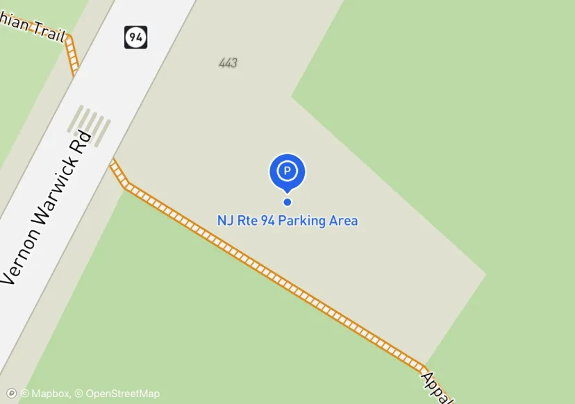
NJ Rte 94 Parking Area
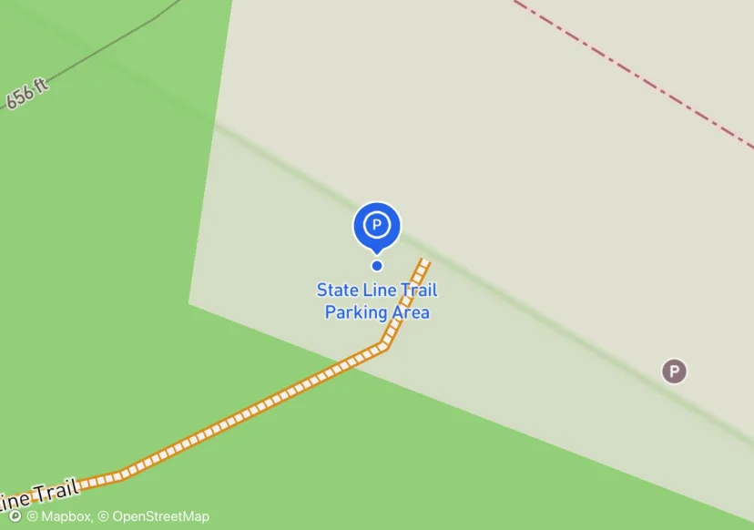
State Line Trail Parking Area
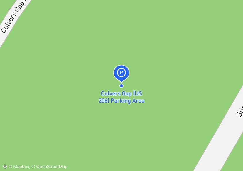
Culvers Gap (US 206) Parking Area
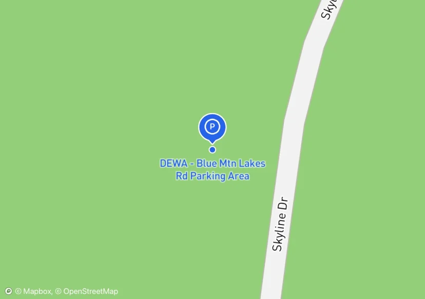
DEWA - Blue Mtn Lakes Rd Parking Area
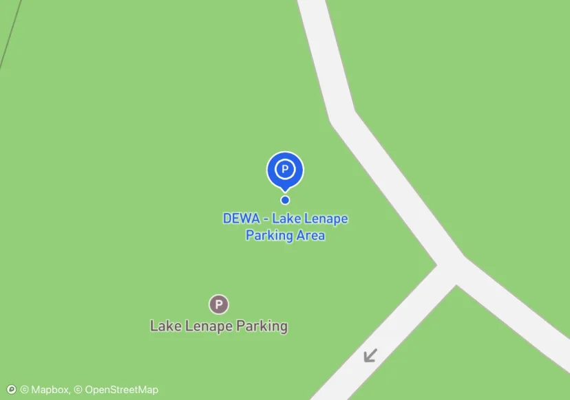
DEWA - Lake Lenape Parking Area
Update 07-03-17: New Guide Railing installed (see attributes for specifics)
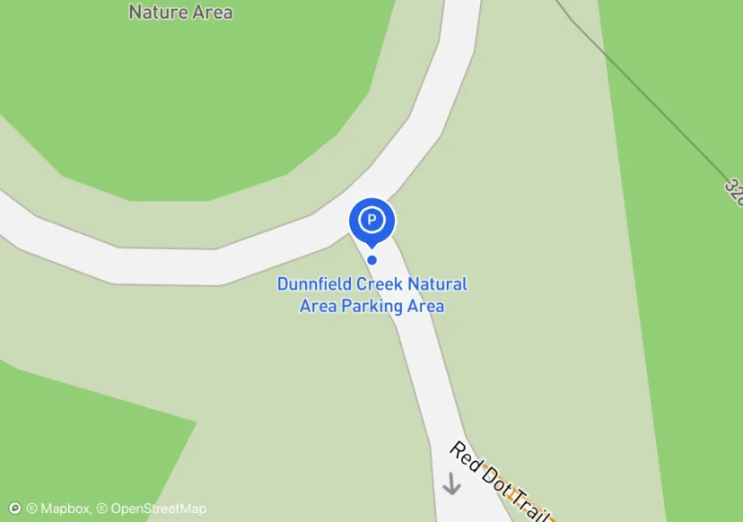
Dunnfield Creek Natural Area Parking Area
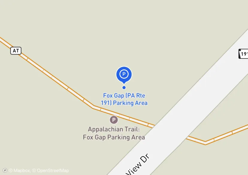
Fox Gap (PA Rte 191) Parking Area
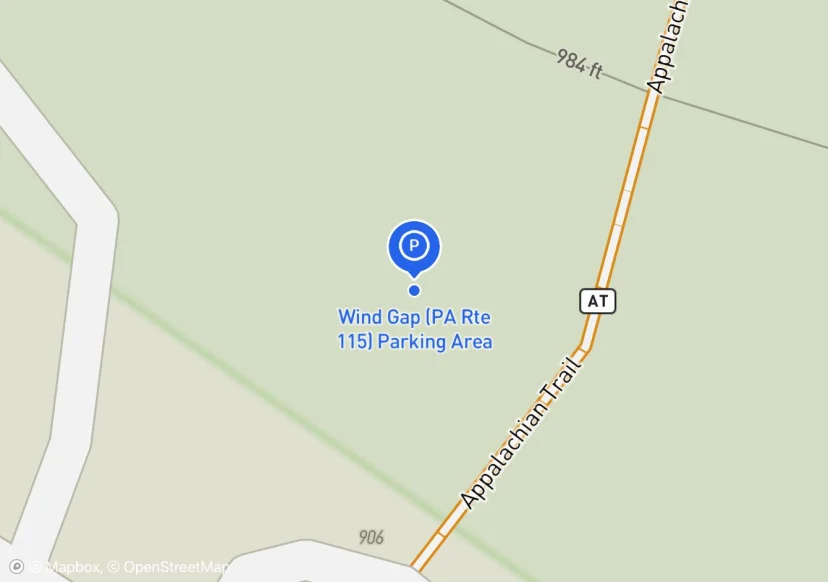
Wind Gap (PA Rte 115) Parking Area
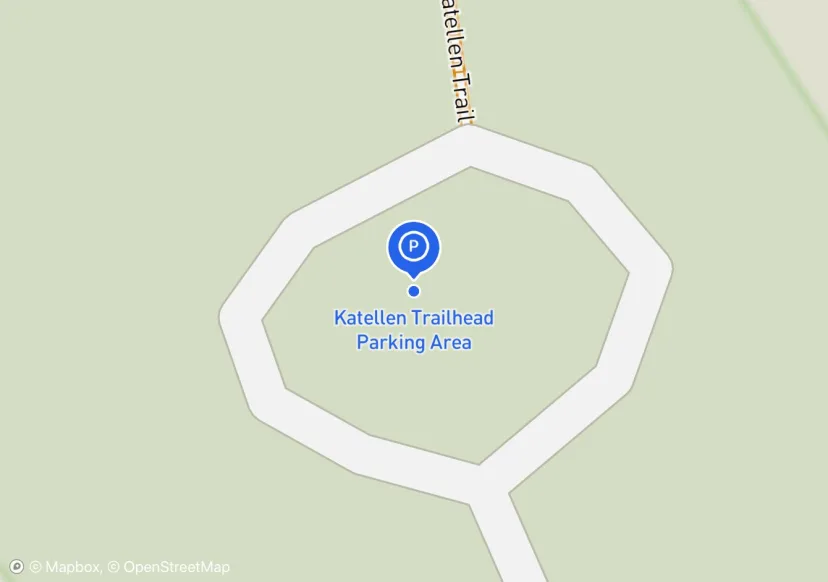
Katellen Trailhead Parking Area
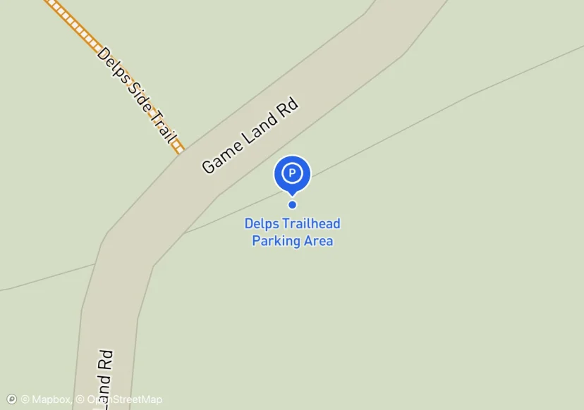
Delps Trailhead Parking Area
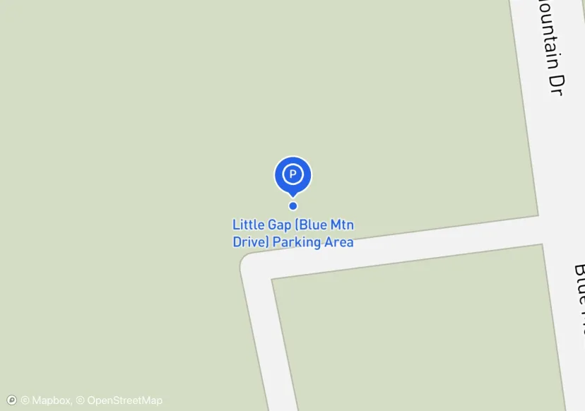
Little Gap (Blue Mtn Drive) Parking Area
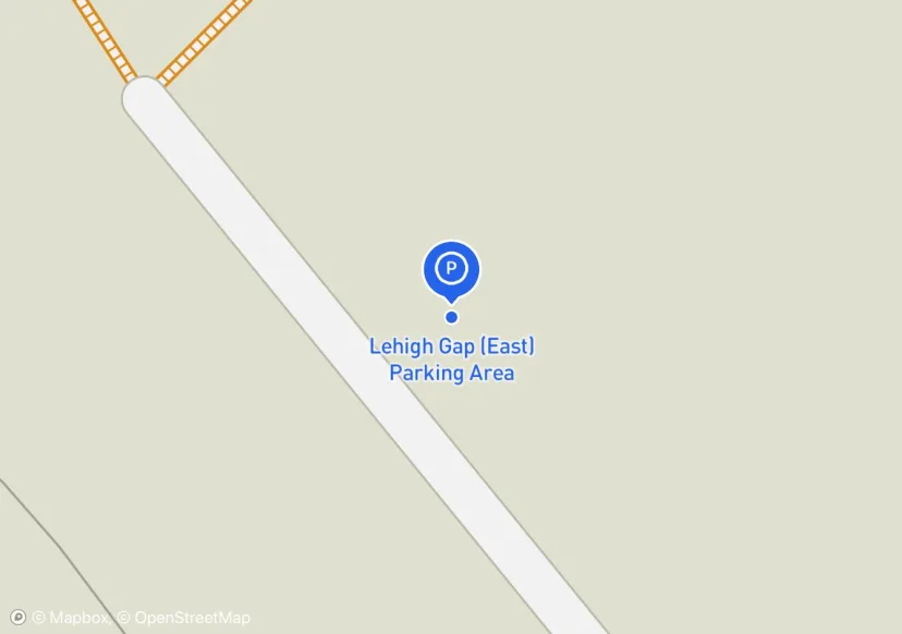
Lehigh Gap (East) Parking Area
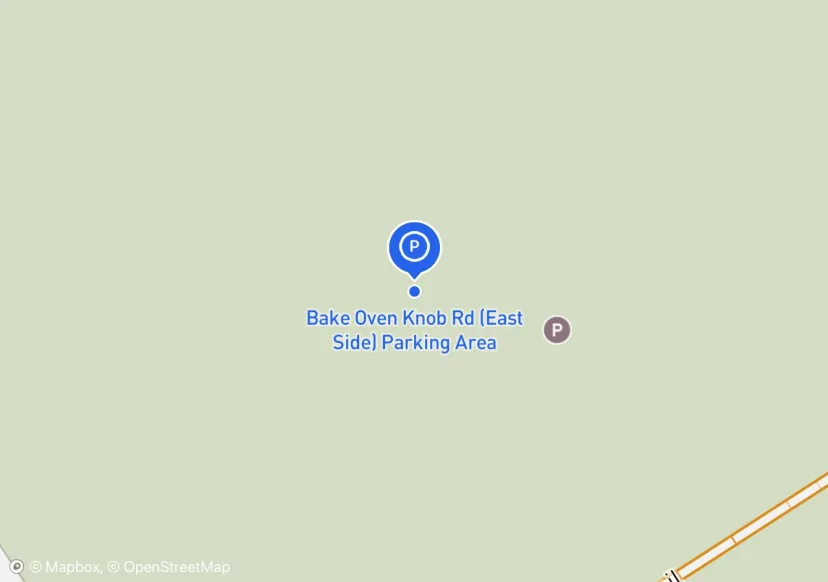
Bake Oven Knob Rd (East Side) Parking Area
Adjusted based on Aerial Imagery
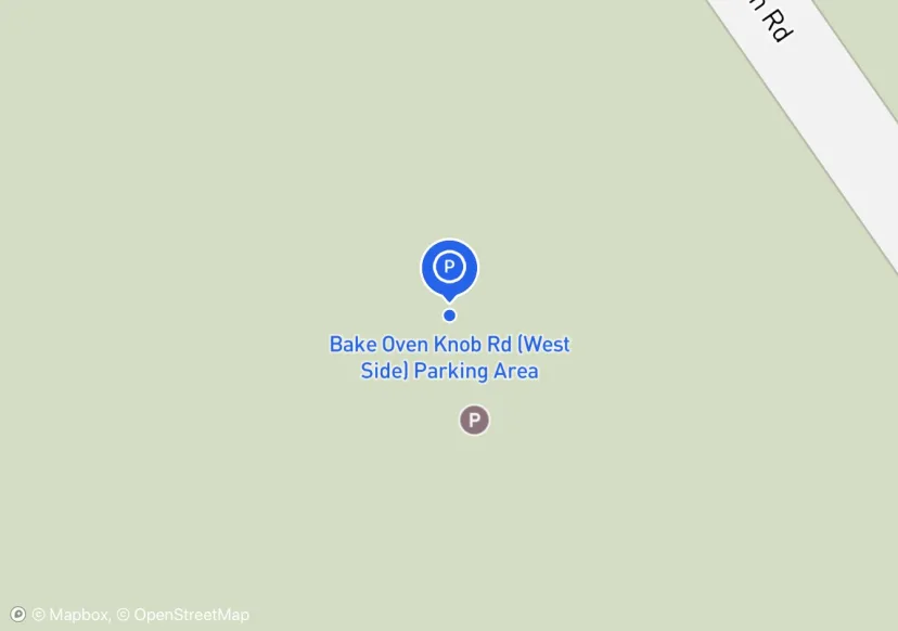
Bake Oven Knob Rd (West Side) Parking Area
Adjusted based on Aerial Imagery

PA Rte 309 (Game Commission) Parking Area
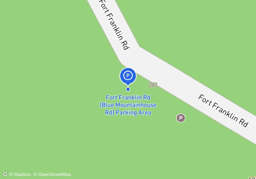
Fort Franklin Rd (Blue Mountainhouse Rd) Parking Area
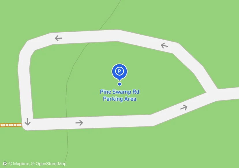
Pine Swamp Rd Parking Area
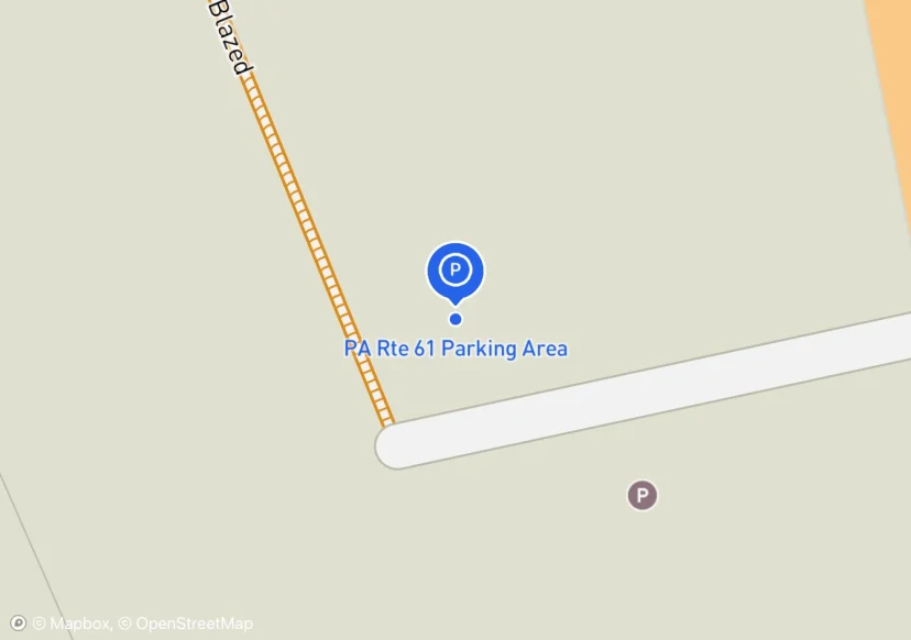
PA Rte 61 Parking Area
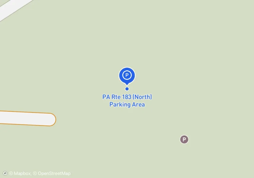
PA Rte 183 (North) Parking Area
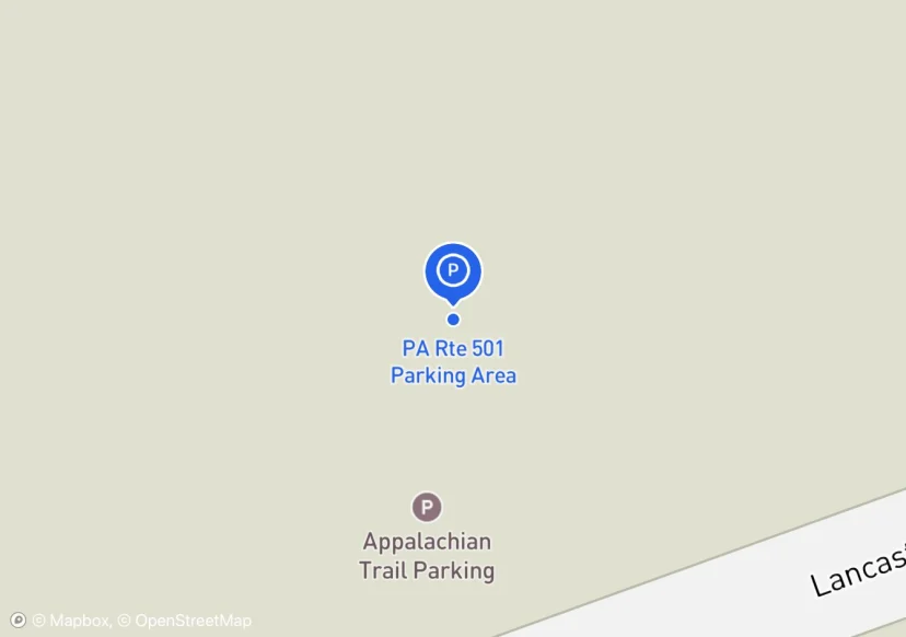
PA Rte 501 Parking Area
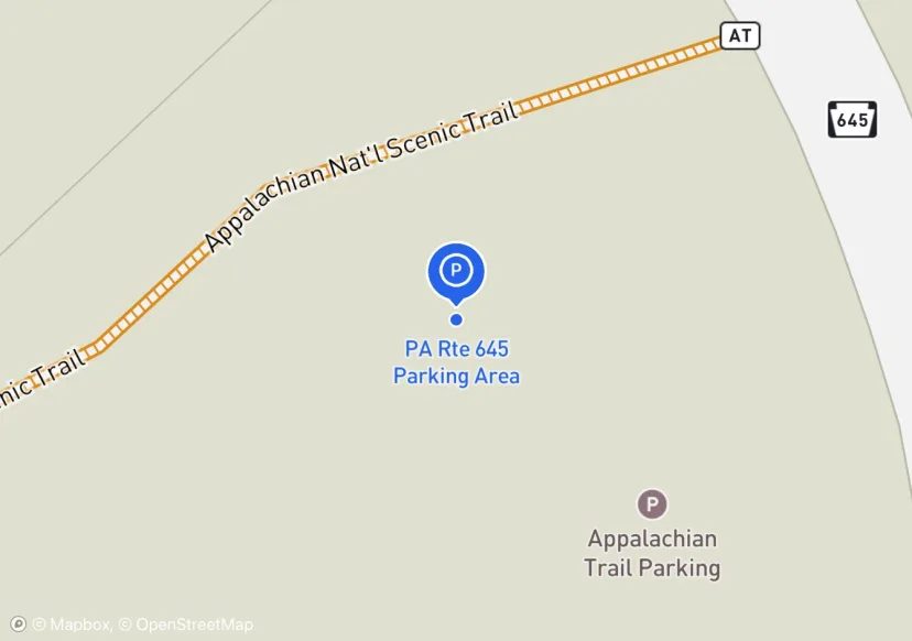
PA Rte 645 Parking Area
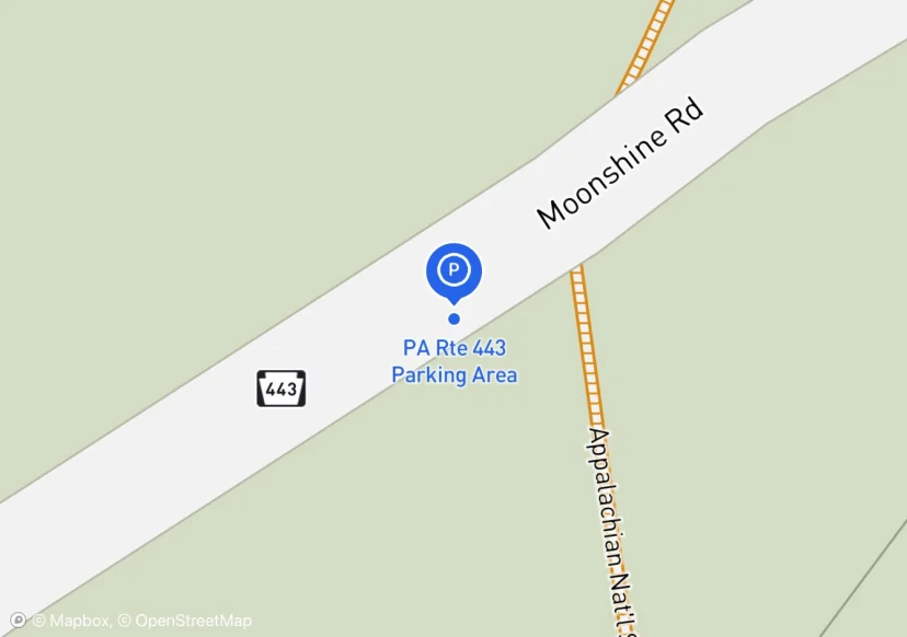
PA Rte 443 Parking Area
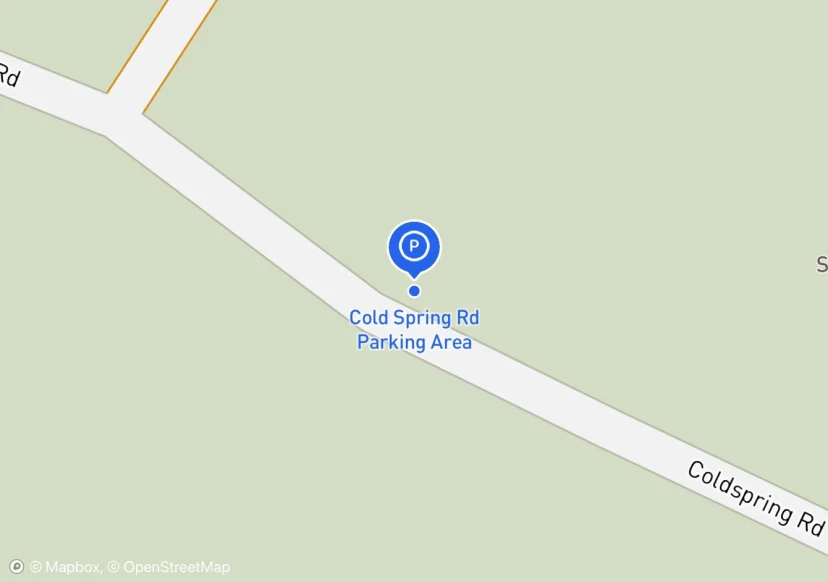
Cold Spring Rd Parking Area
Adjusted based on Aerial Imagery
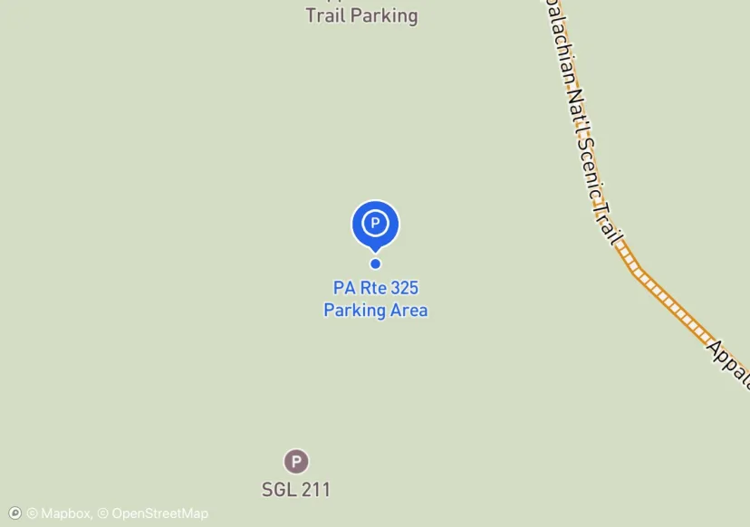
PA Rte 325 Parking Area
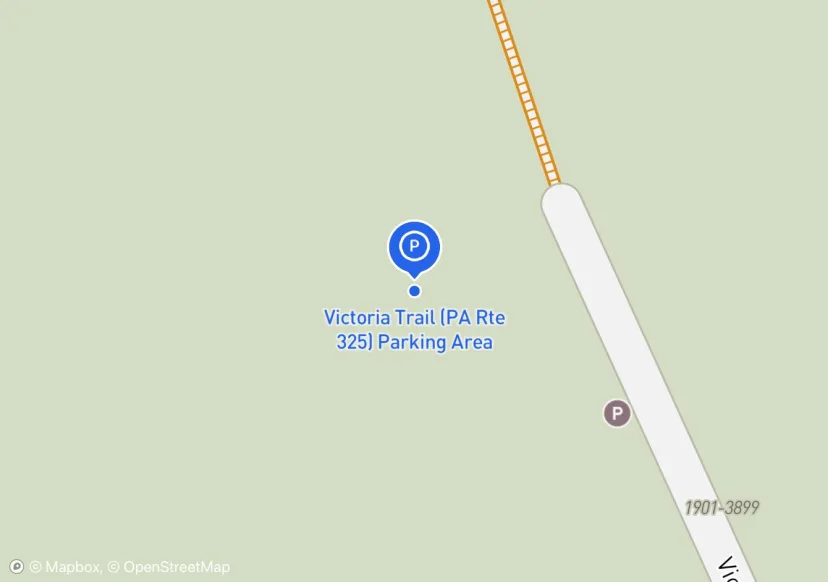
Victoria Trail (PA Rte 325) Parking Area
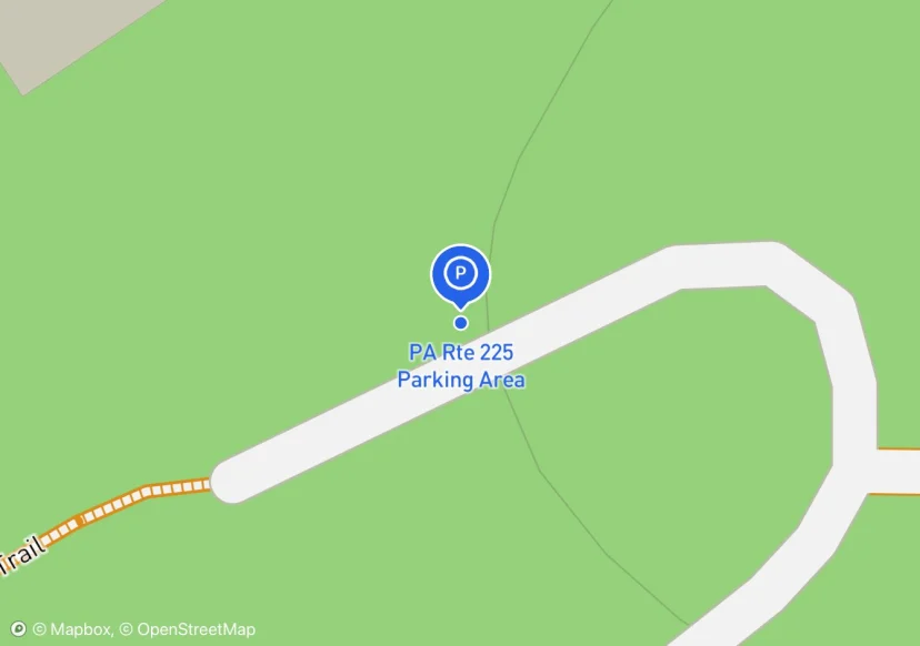
PA Rte 225 Parking Area
10' x 210' asphalt driveway; Adjusted based on Aerial Imagery
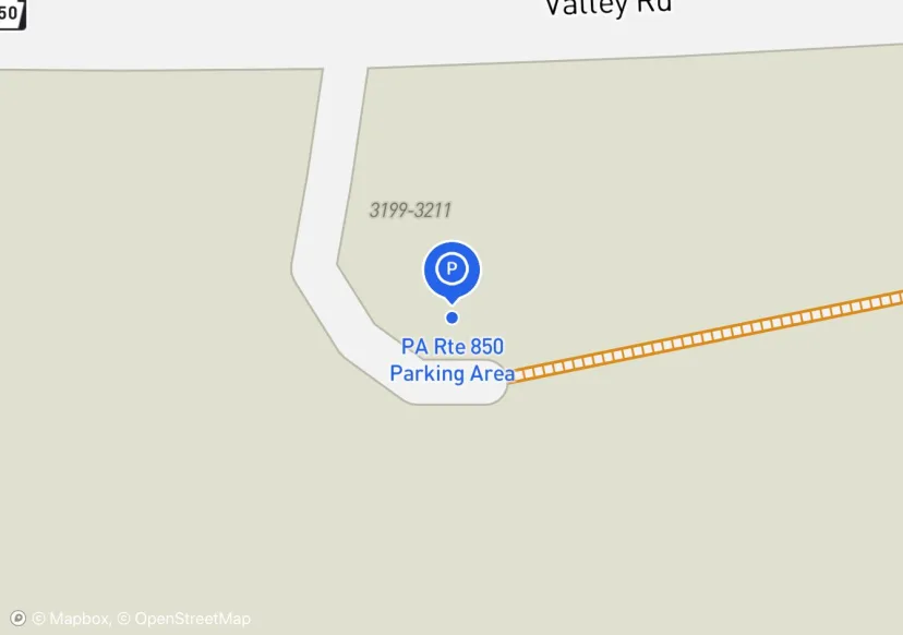
PA Rte 850 Parking Area
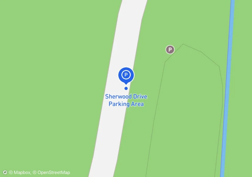
Sherwood Drive Parking Area
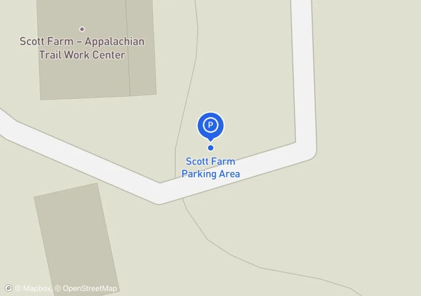
Scott Farm Parking Area
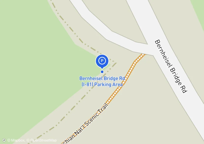
Bernheisel Bridge Rd (I-81) Parking Area
Mowed
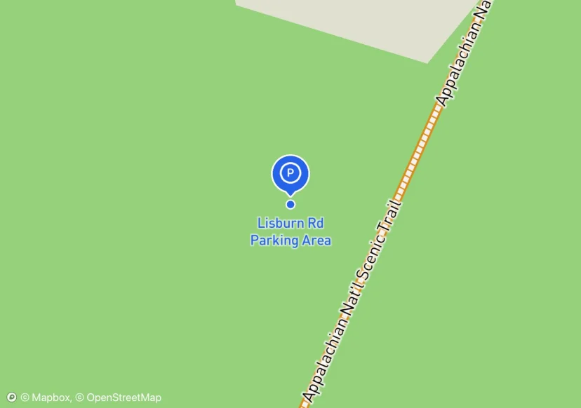
Lisburn Rd Parking Area
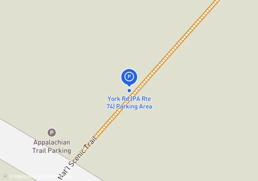
York Rd (PA Rte 74) Parking Area
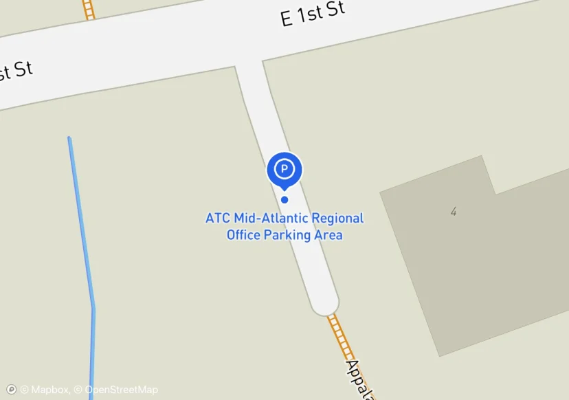
ATC Mid-Atlantic Regional Office Parking Area
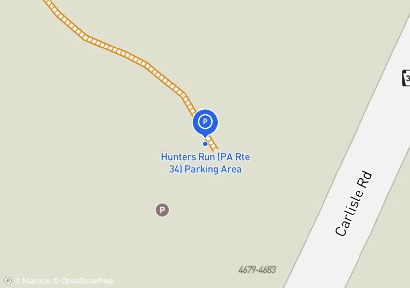
Hunters Run (PA Rte 34) Parking Area
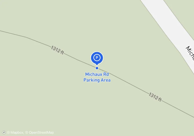
Michaux Rd Parking Area
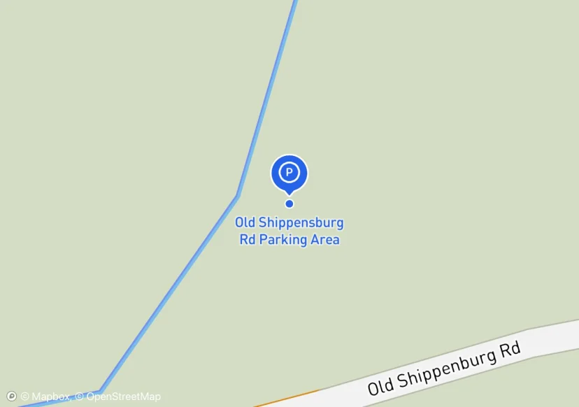
Old Shippensburg Rd Parking Area
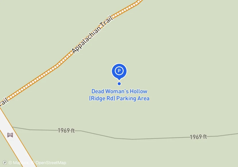
Dead Woman's Hollow (Ridge Rd) Parking Area
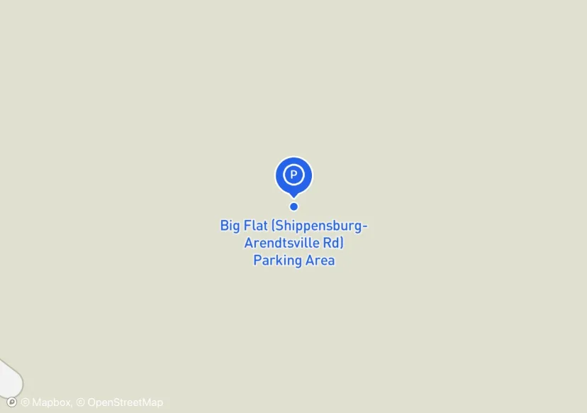
Big Flat (Shippensburg-Arendtsville Rd) Parking Area
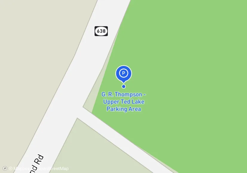
G. R. Thompson - Upper Ted Lake Parking Area
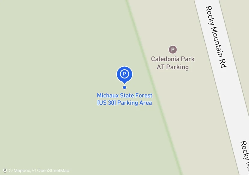
Michaux State Forest (US 30) Parking Area
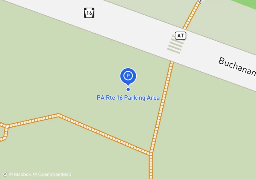
PA Rte 16 Parking Area
Adjusted based on Aerial Imagery
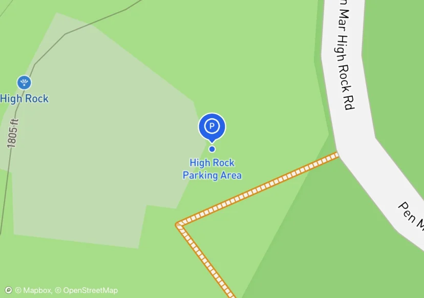
High Rock Parking Area
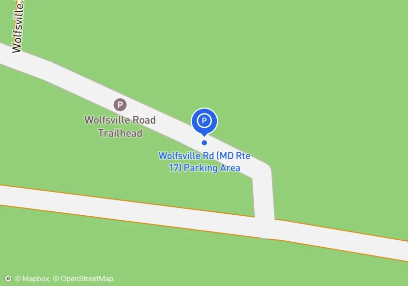
Wolfsville Rd (MD Rte 17) Parking Area
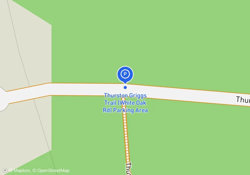
Thurston Griggs Trail (White Oak Rd) Parking Area
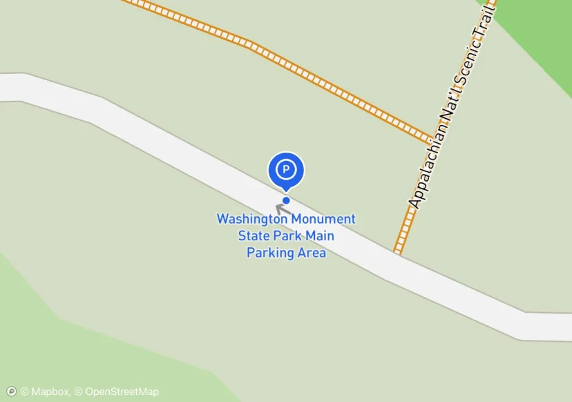
Washington Monument State Park Main Parking Area
Adjusted based on Aerial Imagery
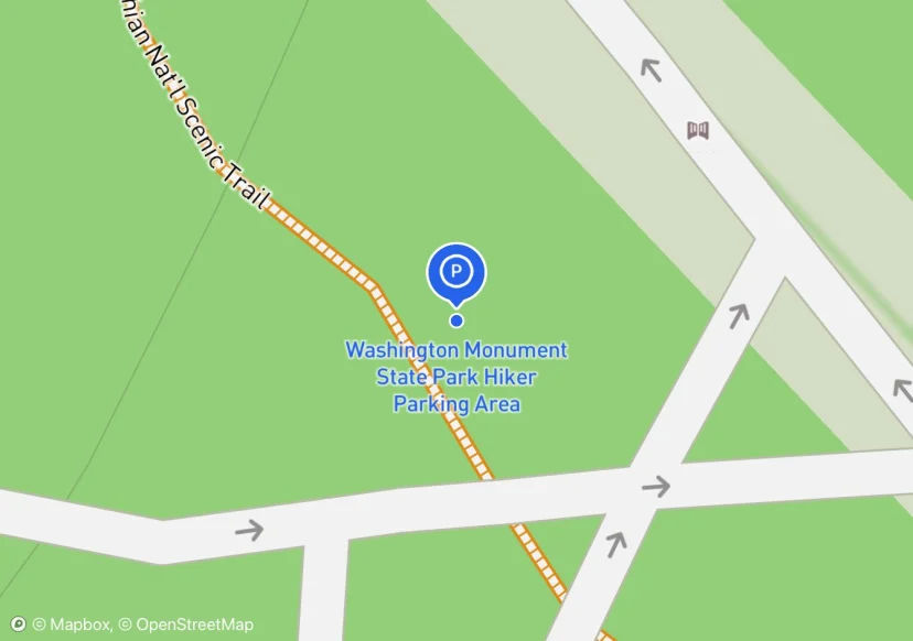
Washington Monument State Park Hiker Parking Area
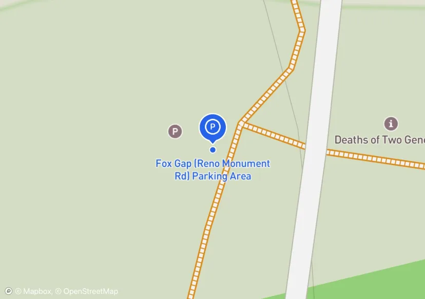
Fox Gap (Reno Monument Rd) Parking Area
Adjusted based on Aerial Imagery
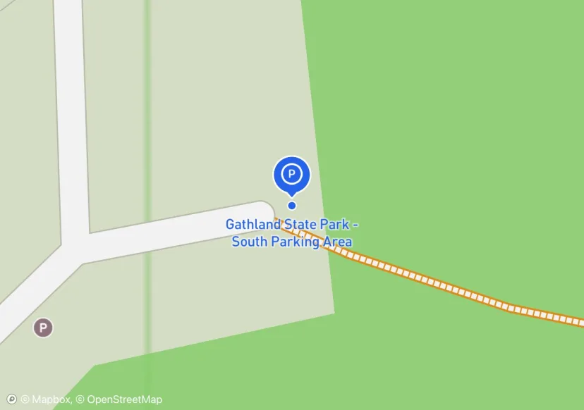
Gathland State Park - South Parking Area
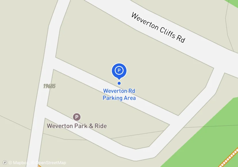
Weverton Rd Parking Area
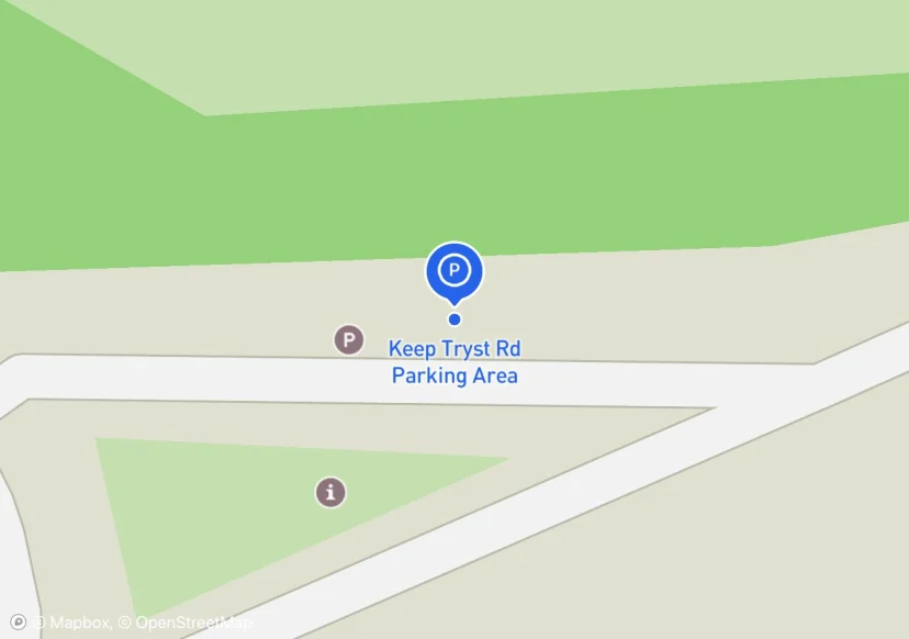
Keep Tryst Rd Parking Area
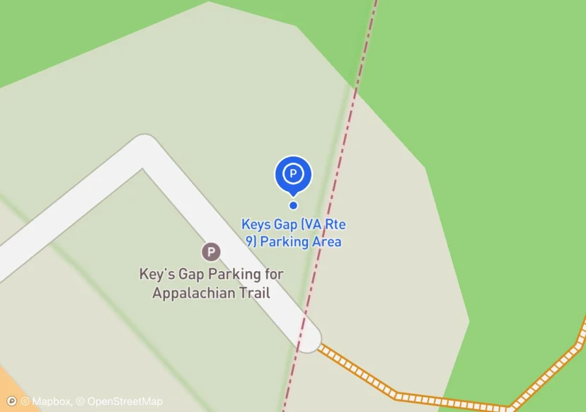
Keys Gap (VA Rte 9) Parking Area
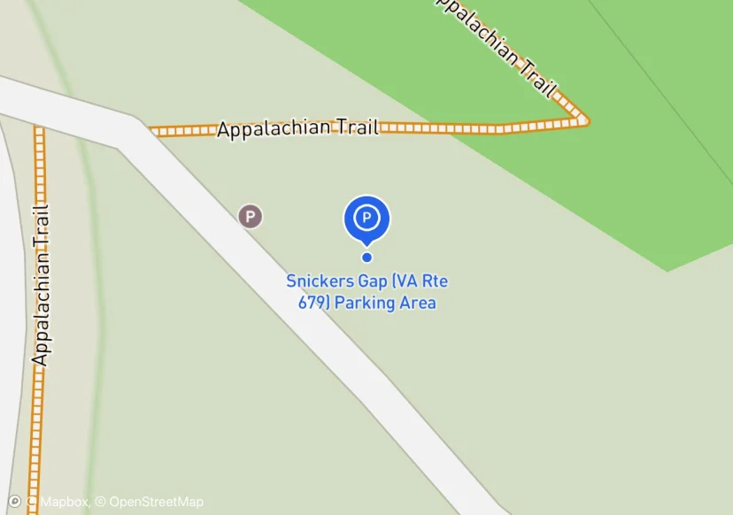
Snickers Gap (VA Rte 679) Parking Area
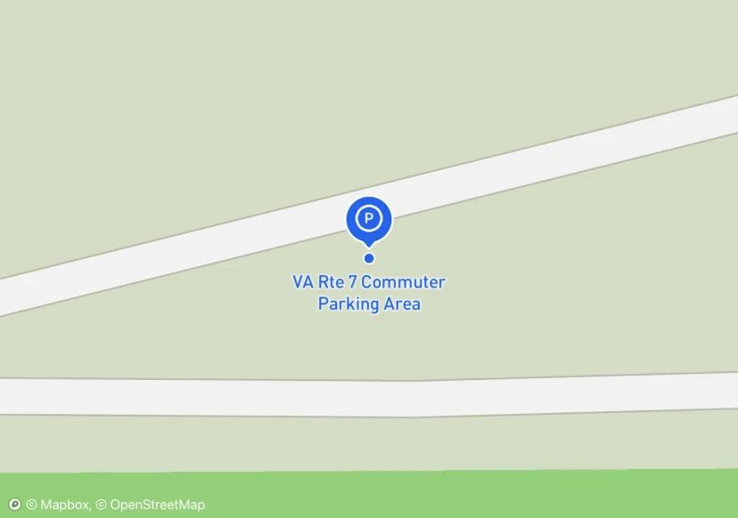
VA Rte 7 Commuter Parking Area
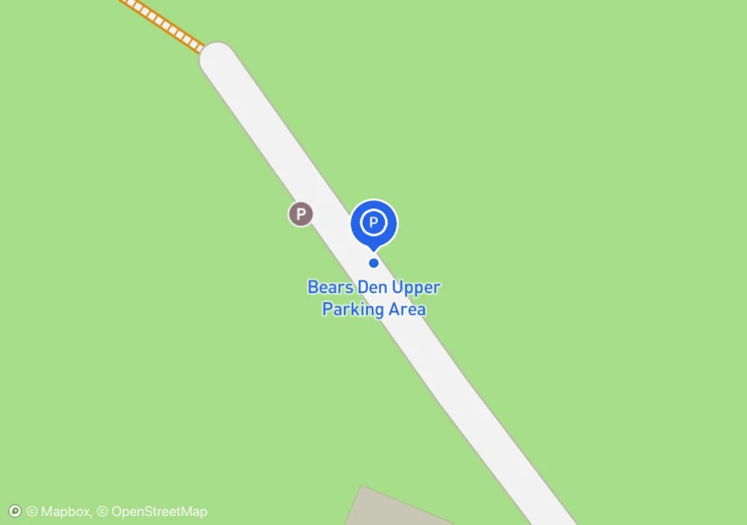
Bears Den Upper Parking Area
Adjusted based on Aerial Imagery
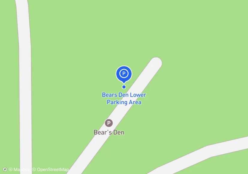
Bears Den Lower Parking Area
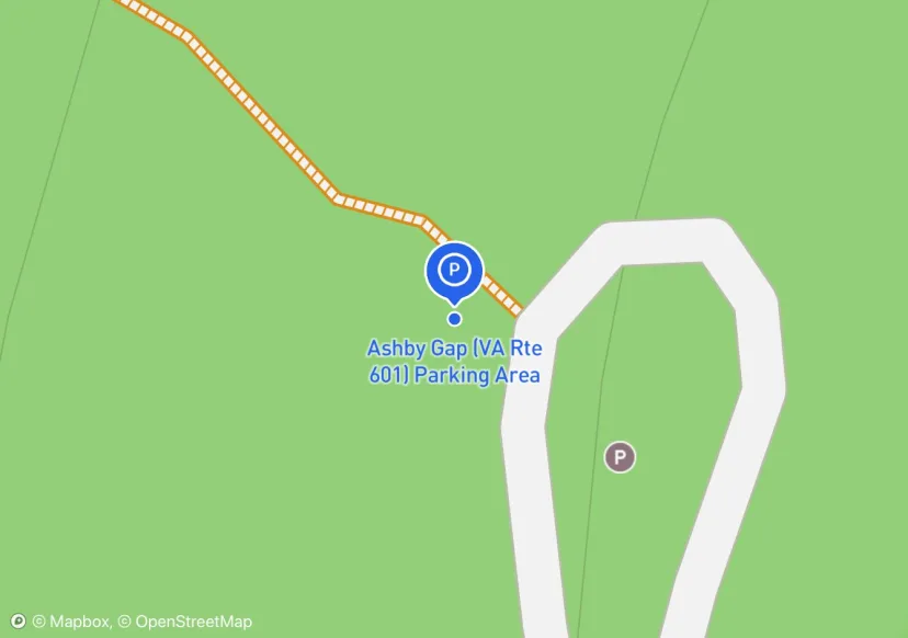
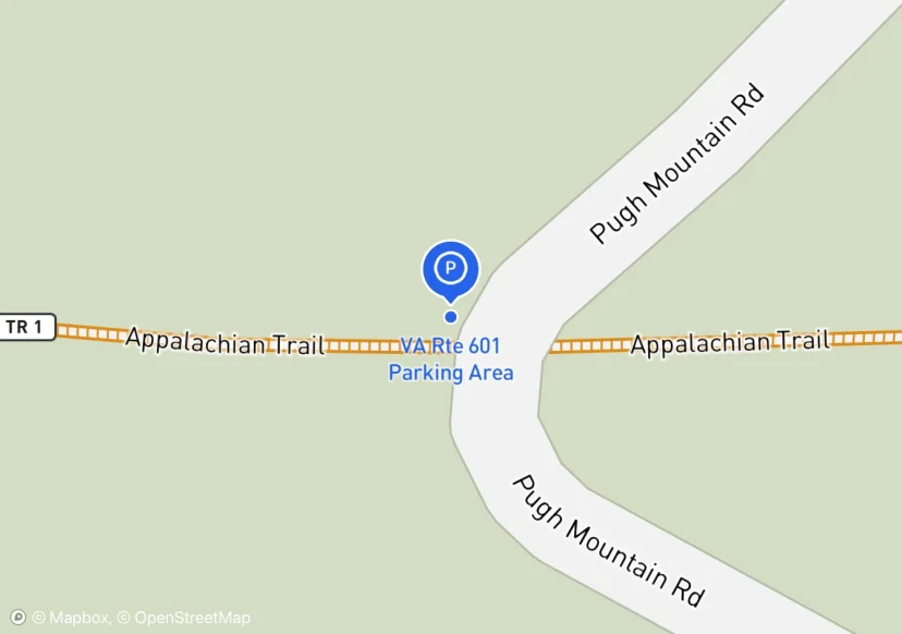
Ashby Gap (VA Rte 601) Parking Area
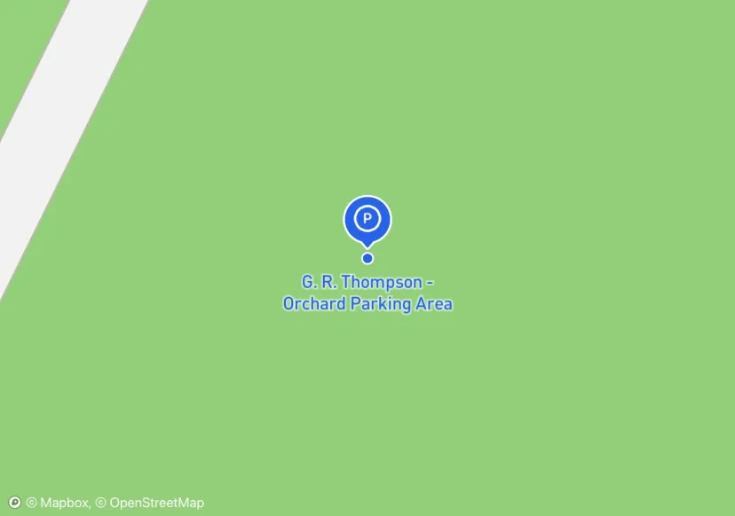
G. R. Thompson - Orchard Parking Area
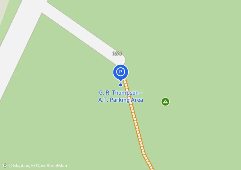
G. R. Thompson - A.T. Parking Area
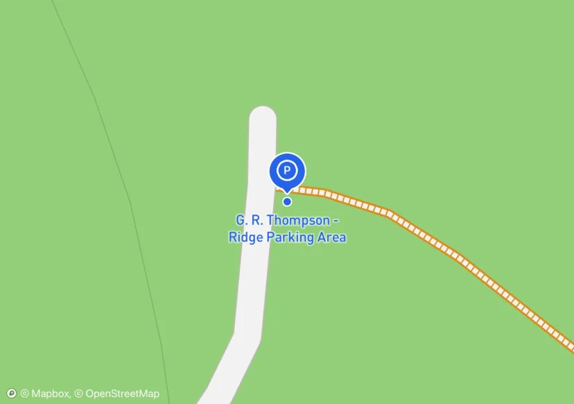
G. R. Thompson - Ridge Parking Area
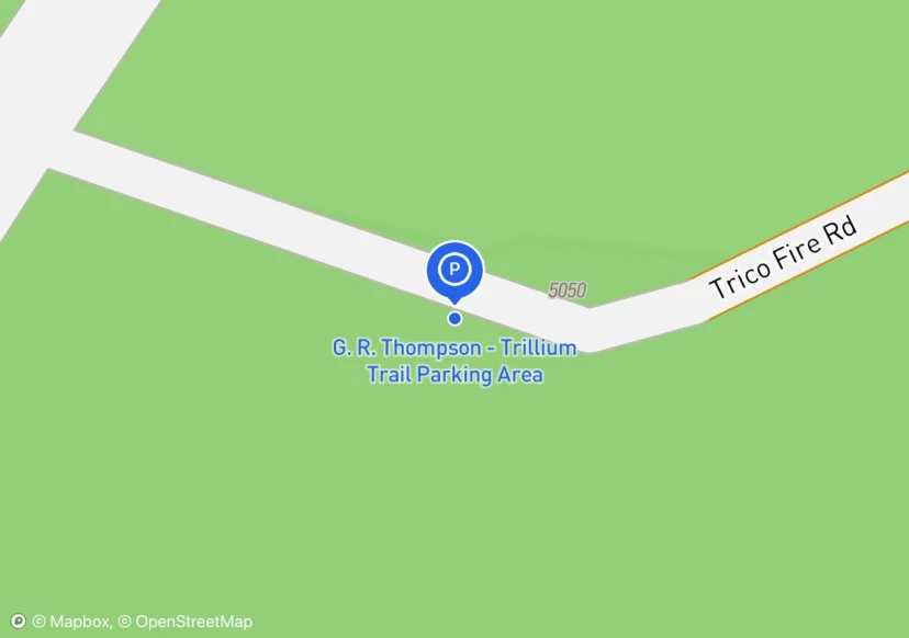
G. R. Thompson - Trillium Trail Parking Area
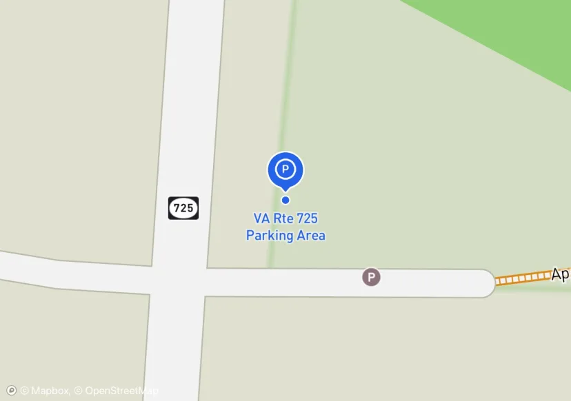
VA Rte 725 Parking Area
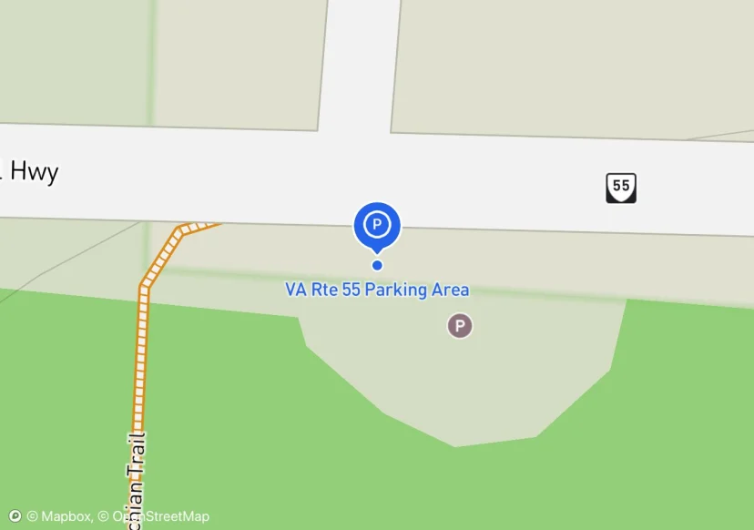
VA Rte 55 Parking Area
Adjusted based on Aerial Imagery
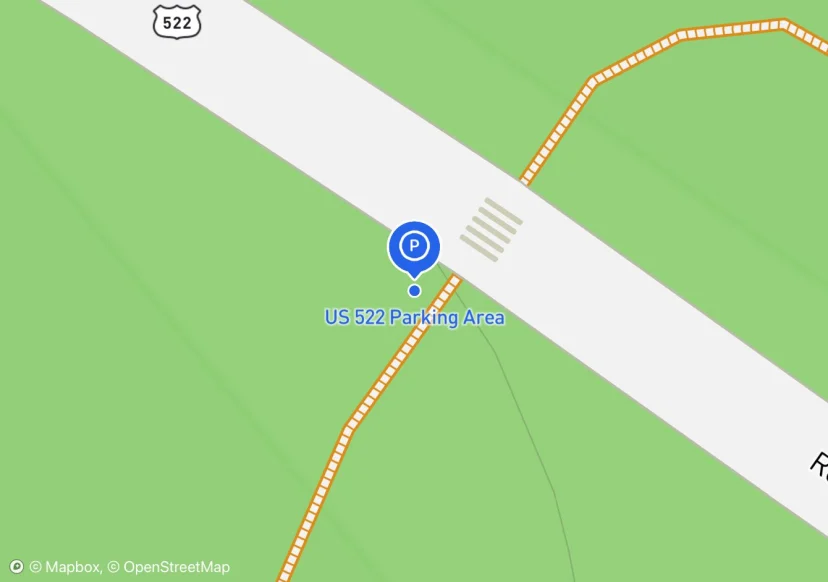
US 522 Parking Area
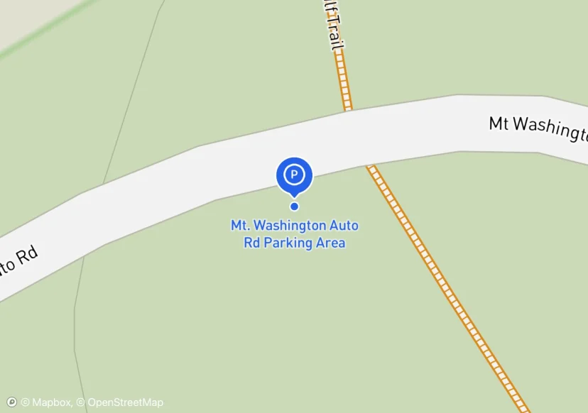
Mt. Washington Auto Rd Parking Area
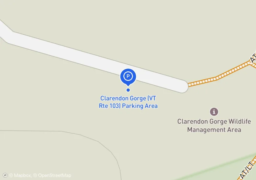
Clarendon Gorge (VT Rte 103) Parking Area
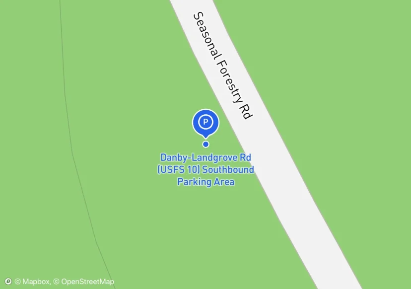
Danby-Landgrove Rd (USFS 10) Southbound Parking Area
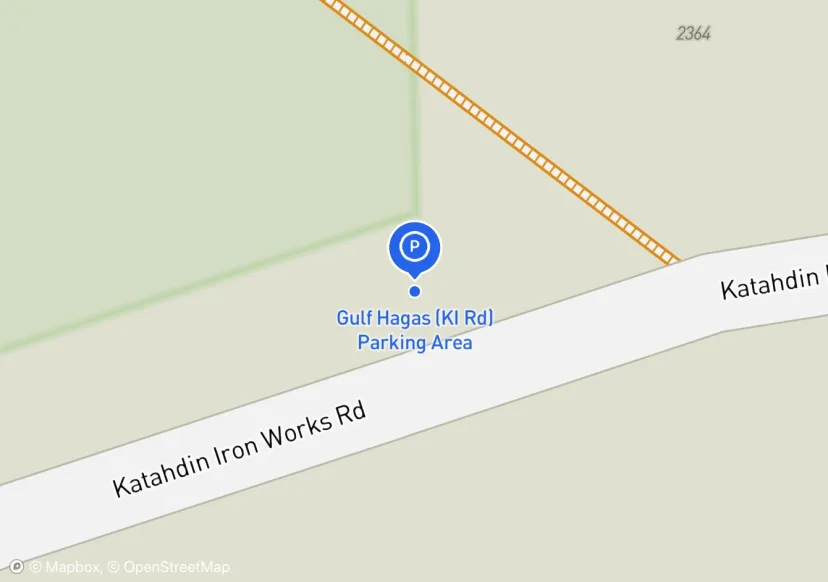
Gulf Hagas (KI Rd) Parking Area
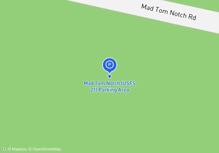
Mad Tom Notch (USFS 21) Parking Area

Lion's Head Trailhead (Bunker Hill Rd) Parking Area
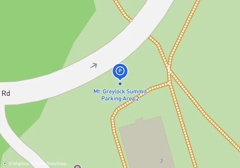
Mt. Greylock Summit Parking Area 2
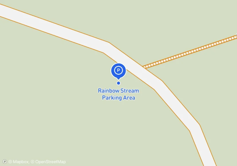
Rainbow Stream Parking Area
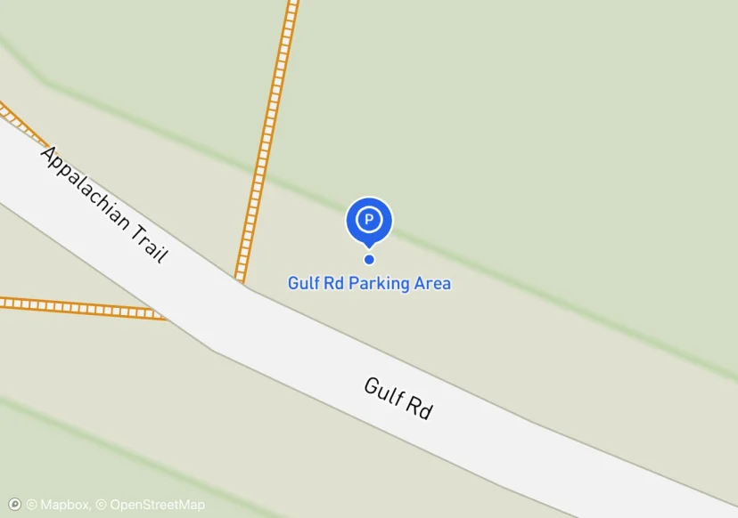
Gulf Rd Parking Area
Parking area divided by Gulf Road. Width measurement more accurate description of available parking area.
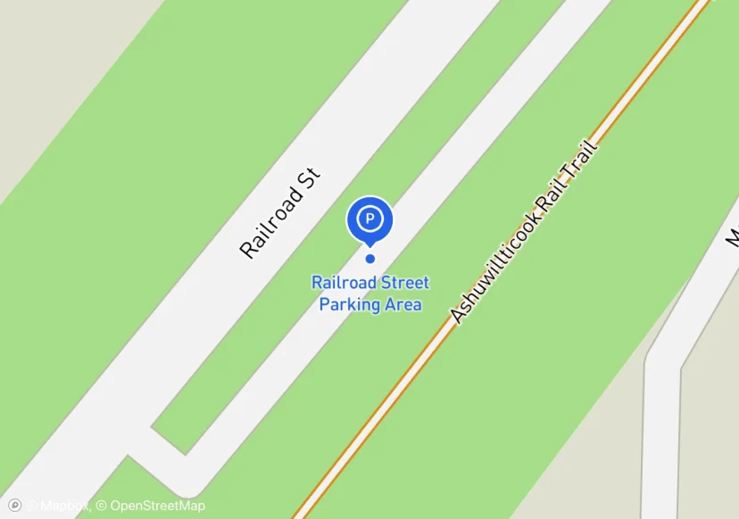
Railroad Street Parking Area
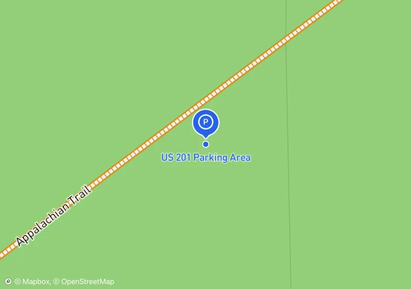
US 201 Parking Area
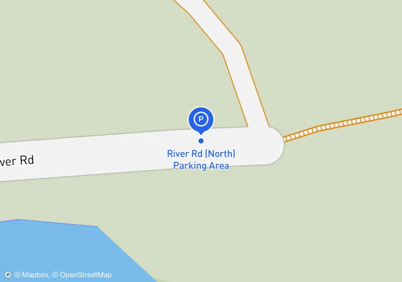
River Rd (North) Parking Area
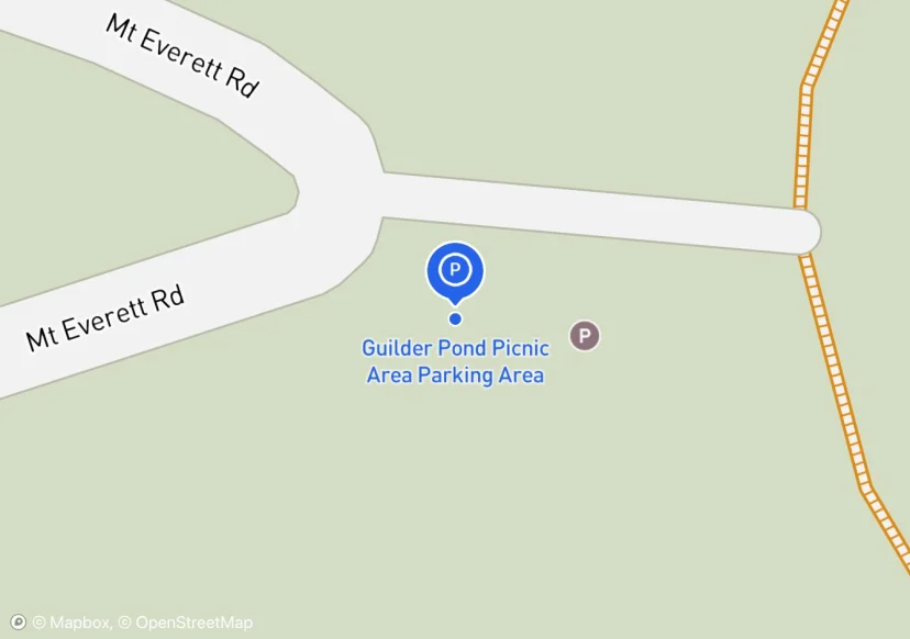
Guilder Pond Picnic Area Parking Area
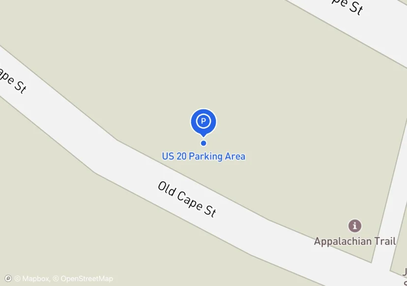
US 20 Parking Area
105 x 3 Stone Wall. Decorative. in photo
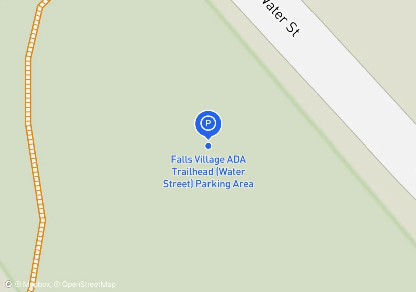
Falls Village ADA Trailhead (Water Street) Parking Area
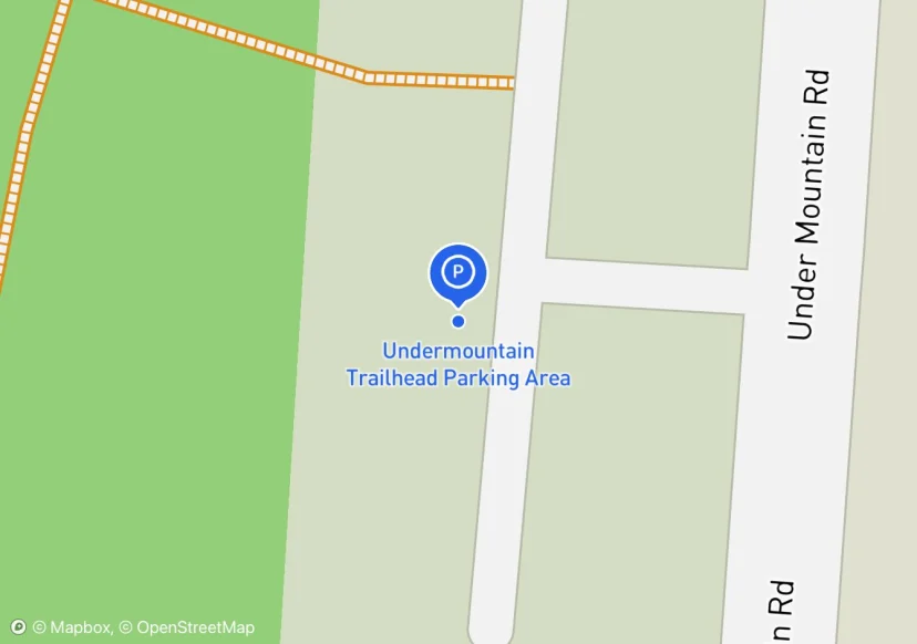
Undermountain Trailhead Parking Area
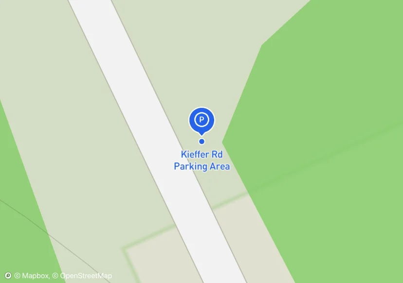
Kieffer Rd Parking Area
Widened shoulder on dirt road.
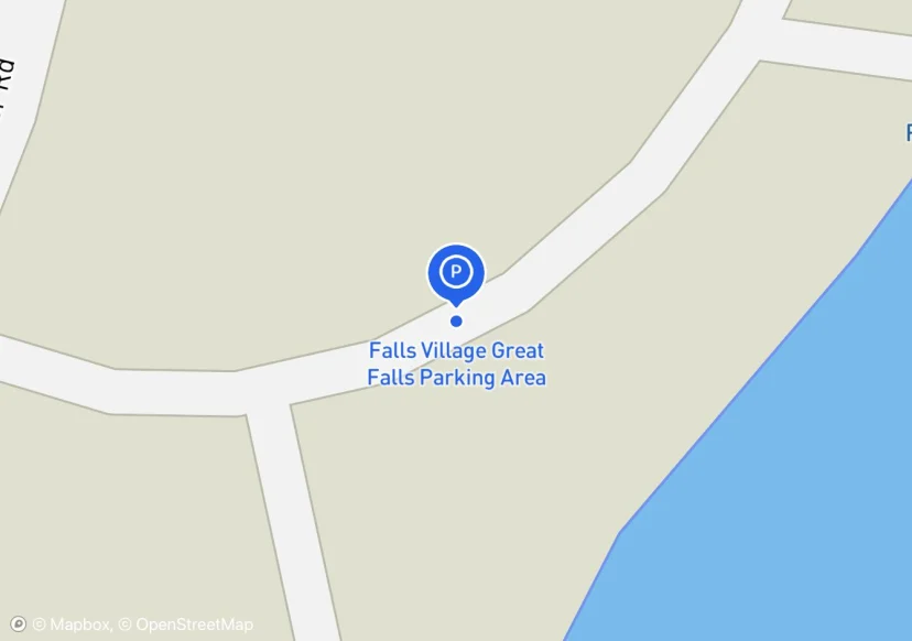
Falls Village Great Falls Parking Area
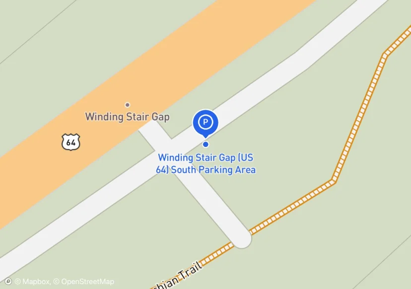
Winding Stair Gap (US 64) South Parking Area
NC64
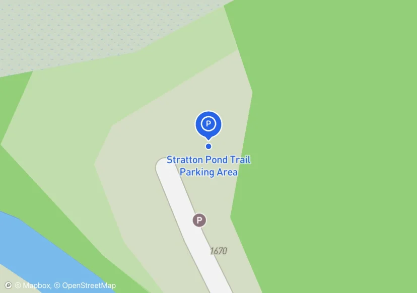
Stratton Pond Trail Parking Area
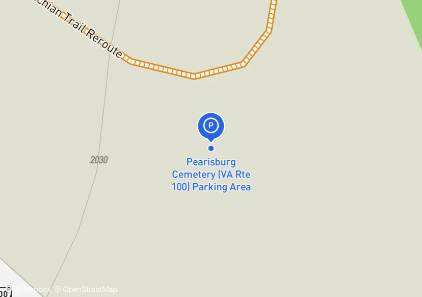
Pearisburg Cemetery (VA Rte 100) Parking Area
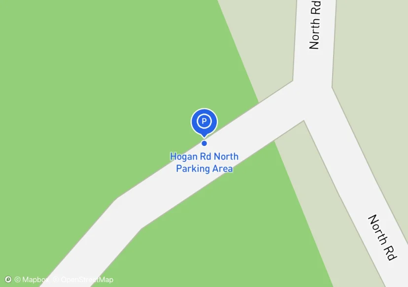
Hogan Rd North Parking Area
Parking area is small pull off at the beginning of Hogan Road
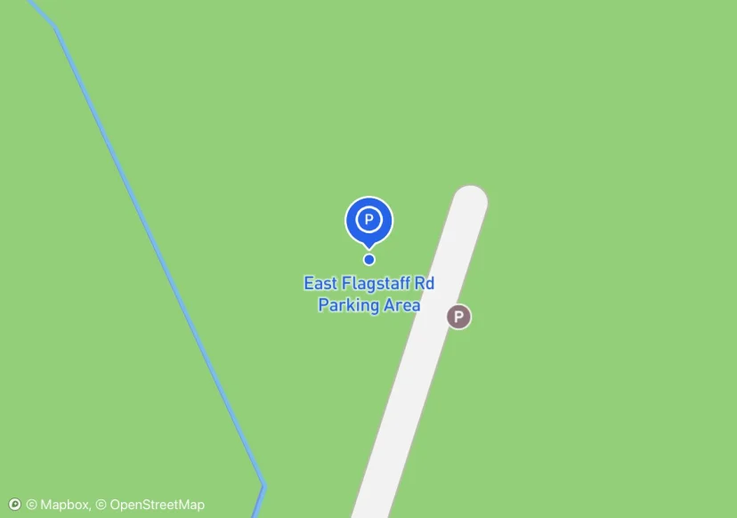
East Flagstaff Rd Parking Area
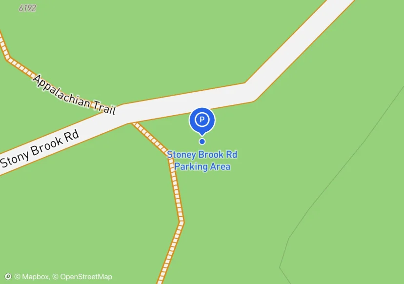
Stoney Brook Rd Parking Area
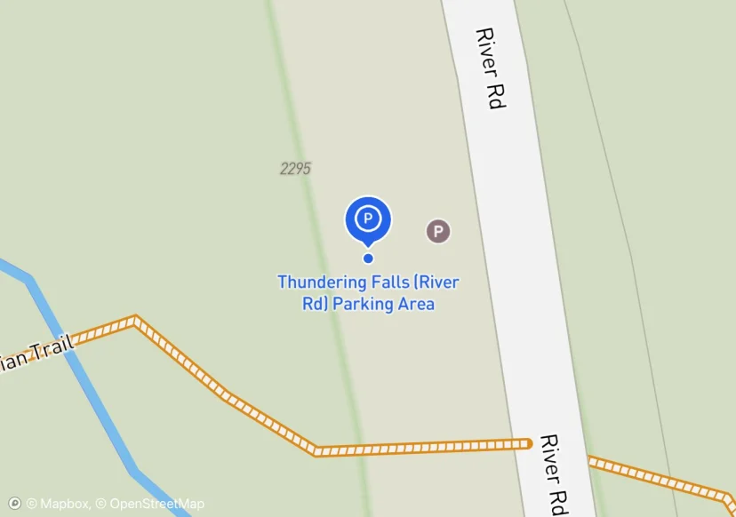
Thundering Falls (River Rd) Parking Area
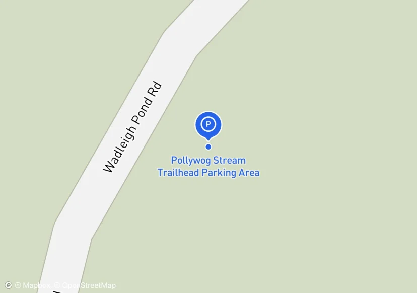
Pollywog Stream Trailhead Parking Area
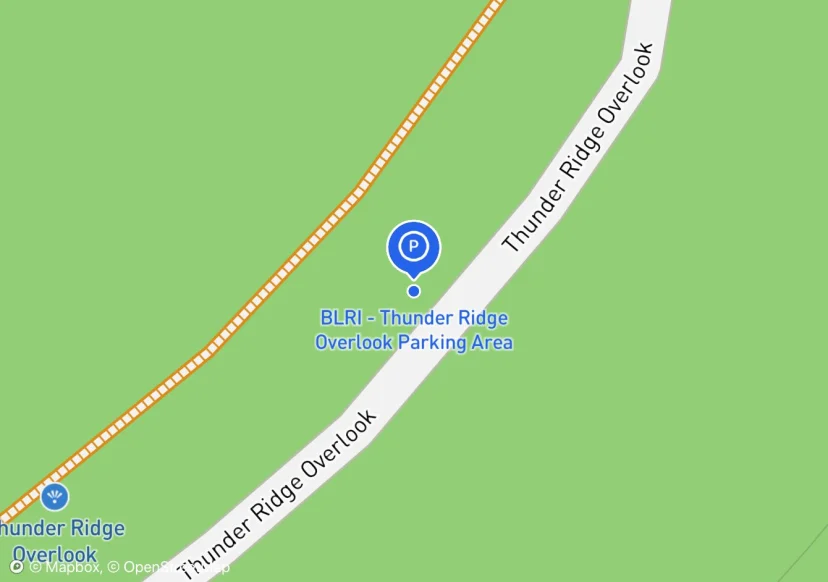
BLRI - Thunder Ridge Overlook Parking Area
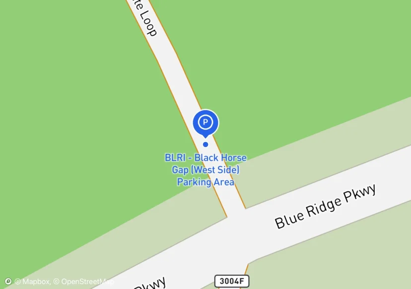
BLRI - Black Horse Gap (West Side) Parking Area
Intersection of Glenwood Horse Trail.
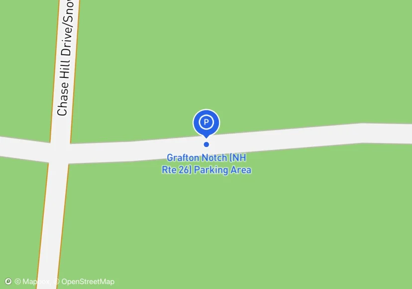
Grafton Notch (NH Rte 26) Parking Area
mbpl according to at sign
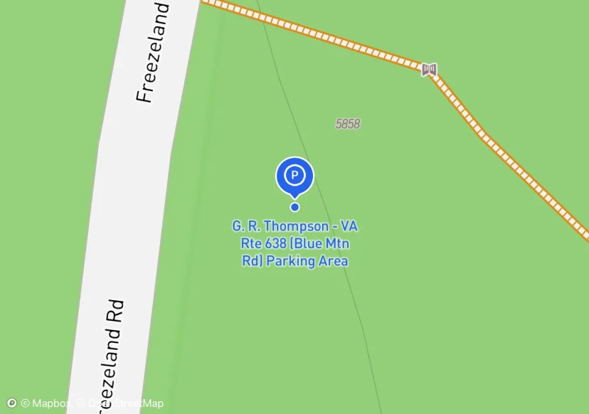
G. R. Thompson - VA Rte 638 (Blue Mtn Rd) Parking Area

Trindle Rd (PA Rte 641) Parking Area
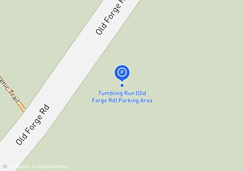
Tumbling Run (Old Forge Rd) Parking Area
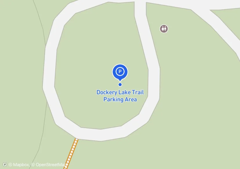
Dockery Lake Trail Parking Area
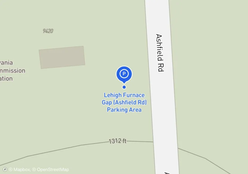
Lehigh Furnace Gap (Ashfield Rd) Parking Area
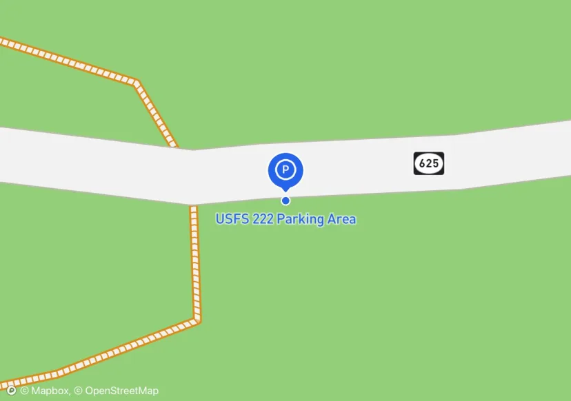
USFS 222 Parking Area
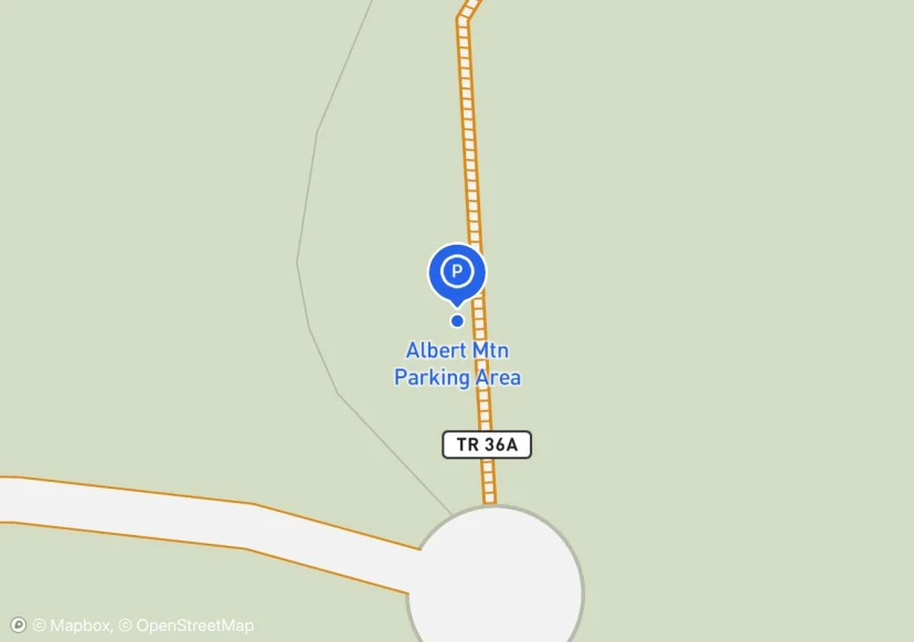
Albert Mtn Parking Area
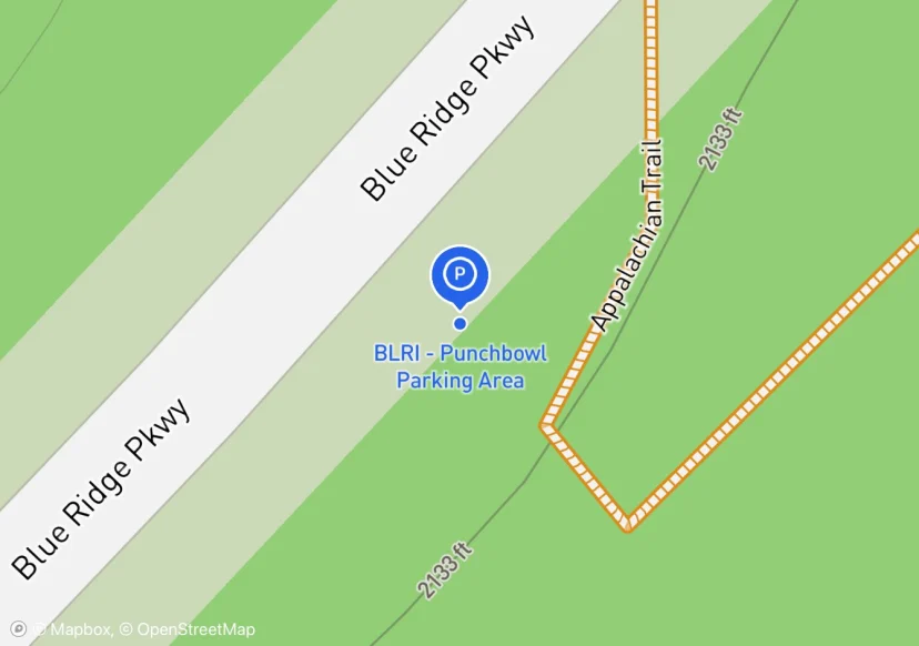
BLRI - Punchbowl Parking Area
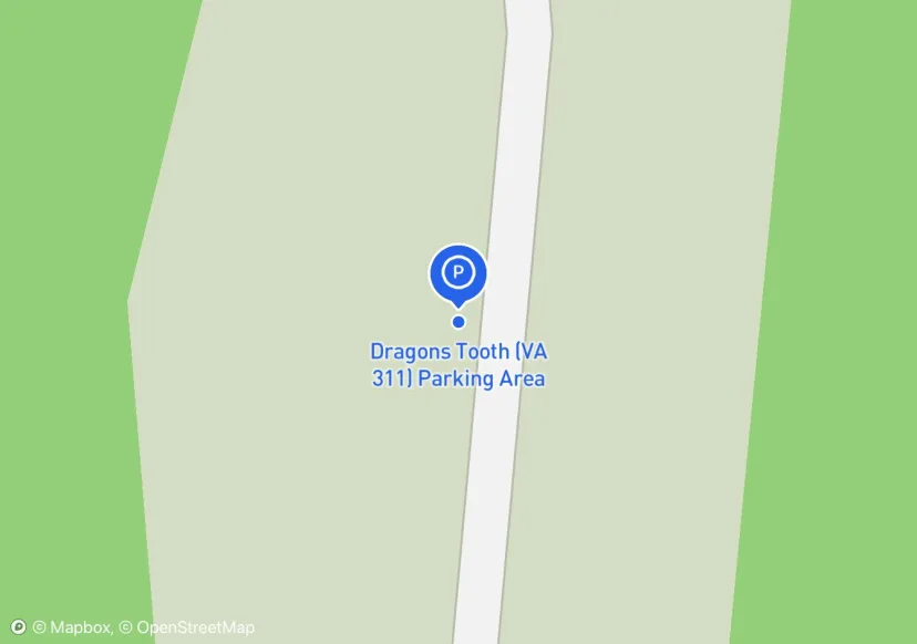
Dragons Tooth (VA 311) Parking Area
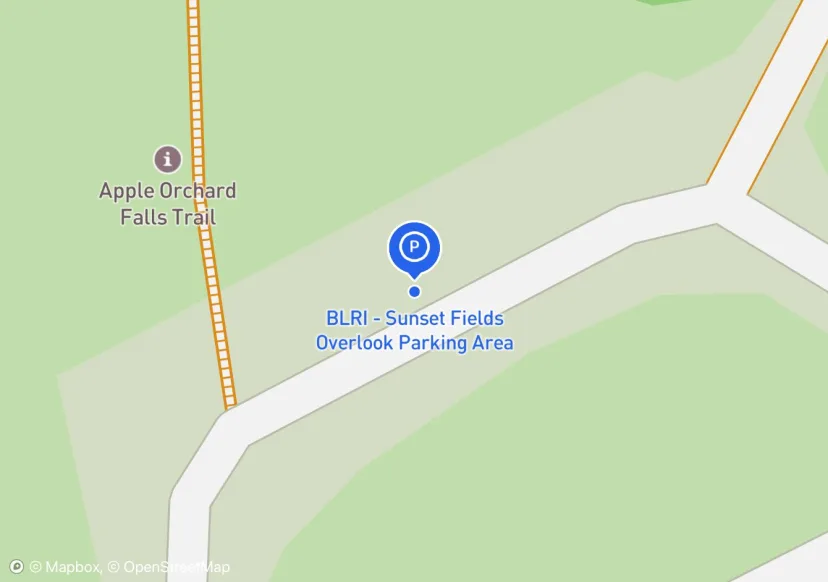
BLRI - Sunset Fields Overlook Parking Area
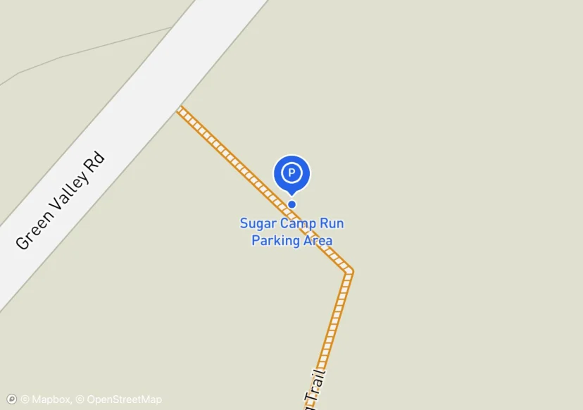
Sugar Camp Run Parking Area
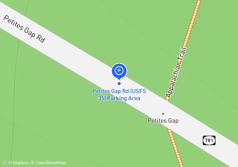
Petites Gap Rd (USFS 35) Parking Area
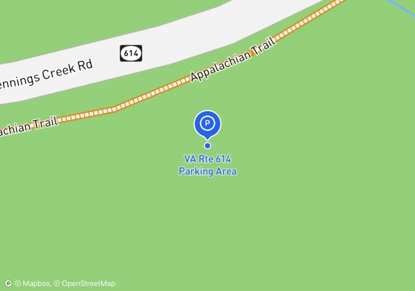
VA Rte 614 Parking Area
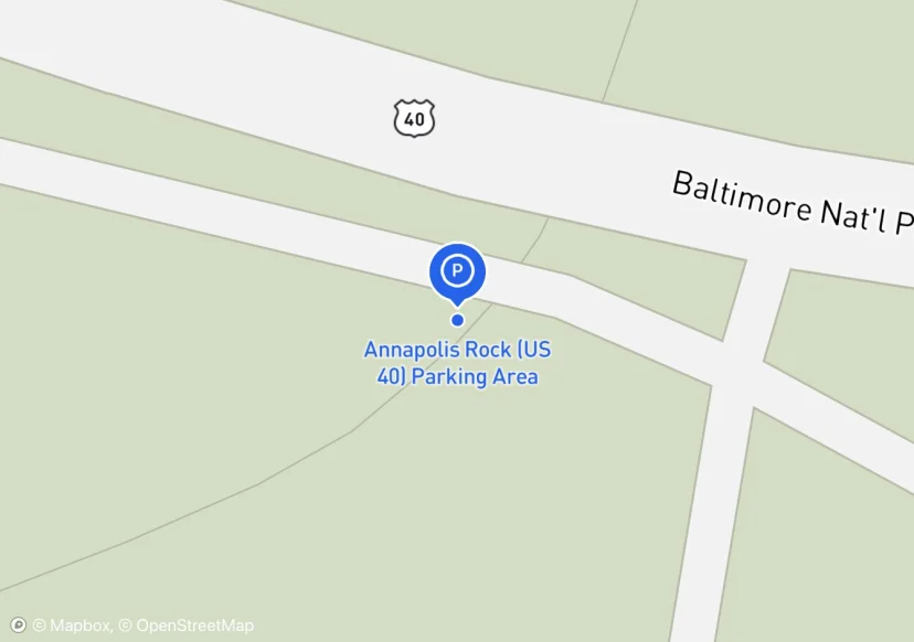
Annapolis Rock (US 40) Parking Area
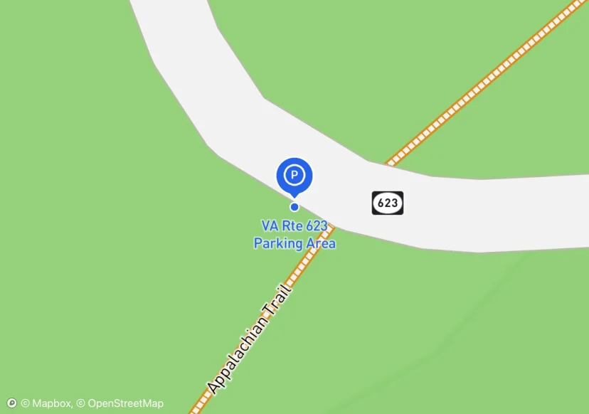
VA Rte 623 Parking Area
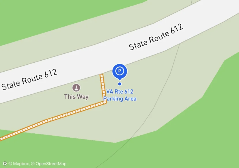
VA Rte 612 Parking Area
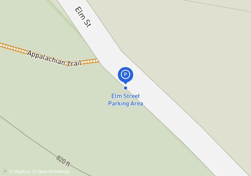
Elm Street Parking Area
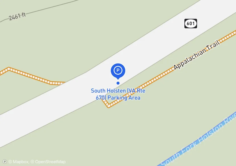
South Holsten (VA Rte 670) Parking Area
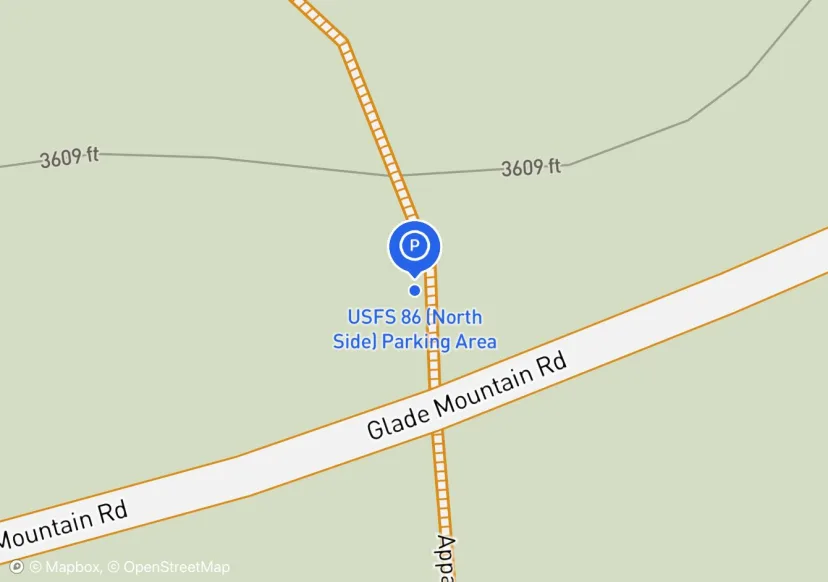
USFS 86 (North Side) Parking Area
North side of FS 86
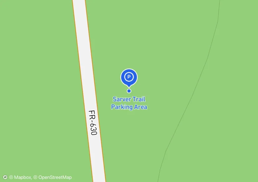
Sarver Trail Parking Area
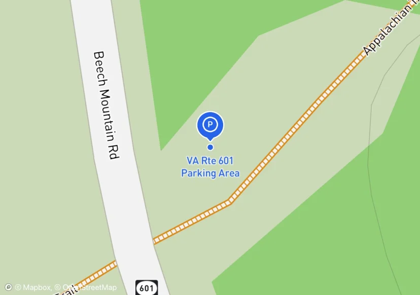
VA Rte 601 Parking Area
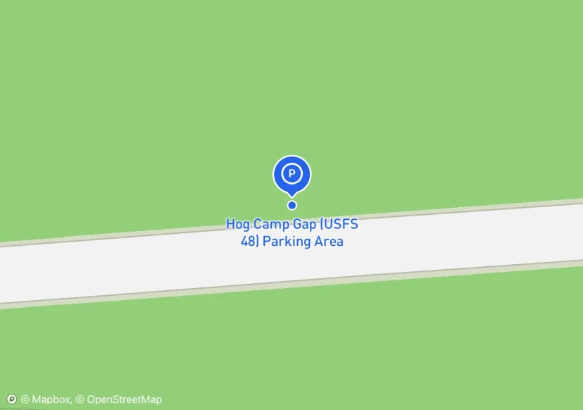
Hog Camp Gap (USFS 48) Parking Area
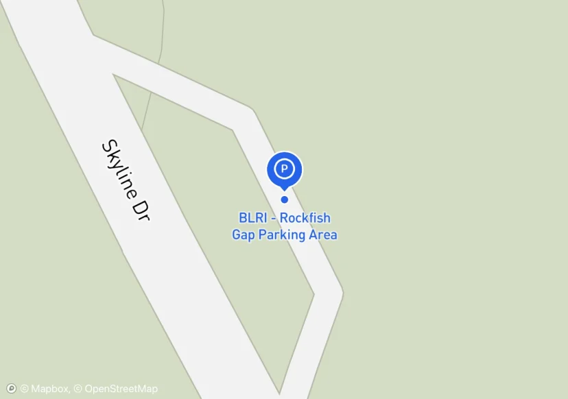
BLRI - Rockfish Gap Parking Area
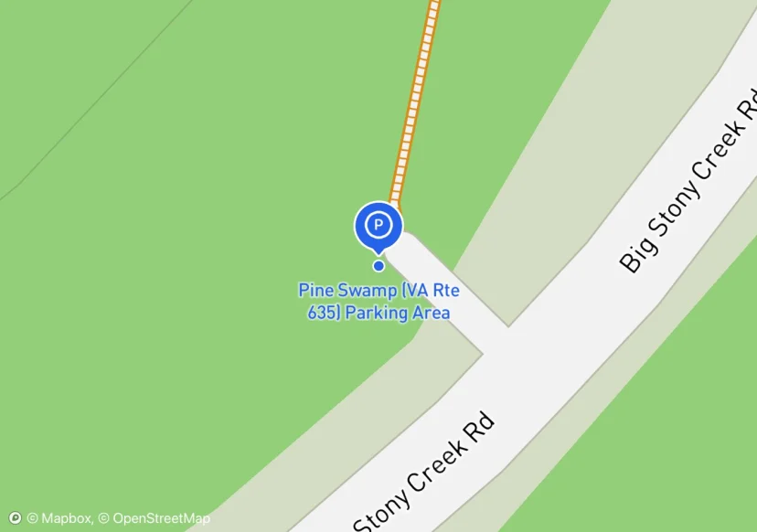
Pine Swamp (VA Rte 635) Parking Area
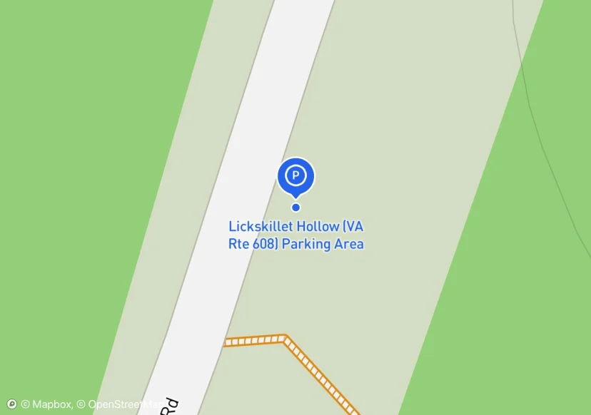
Lickskillet Hollow (VA Rte 608) Parking Area
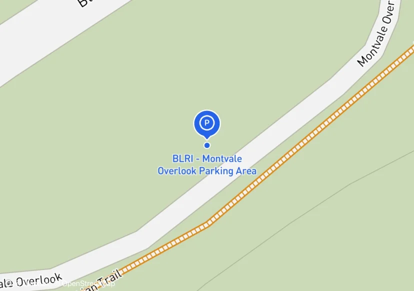
BLRI - Montvale Overlook Parking Area
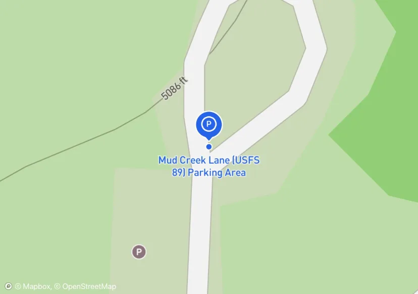
Mud Creek Lane (USFS 89) Parking Area
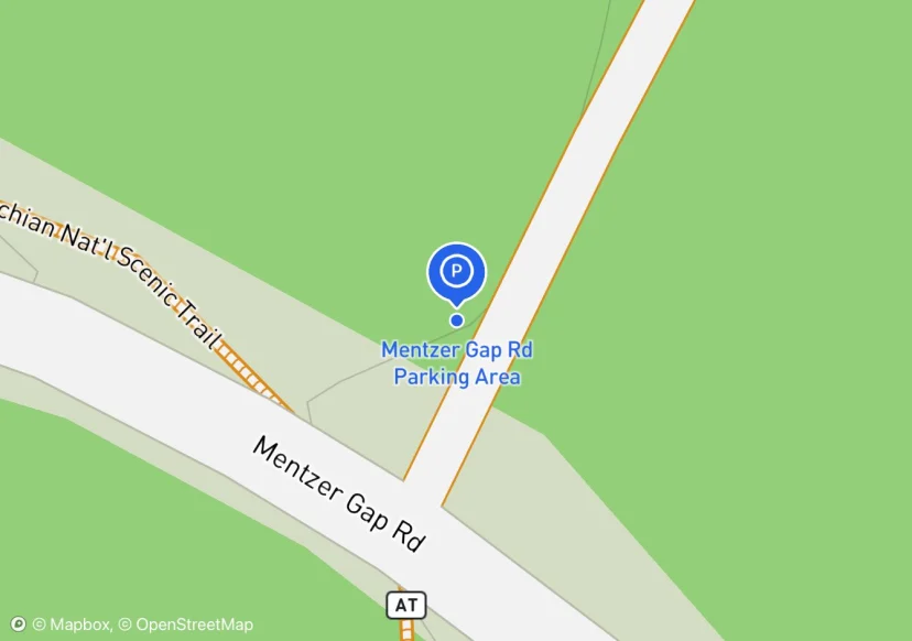
Mentzer Gap Rd Parking Area
PA Game Commission; Added based on existing GIS data; Not sure if we should include in FMSS or not
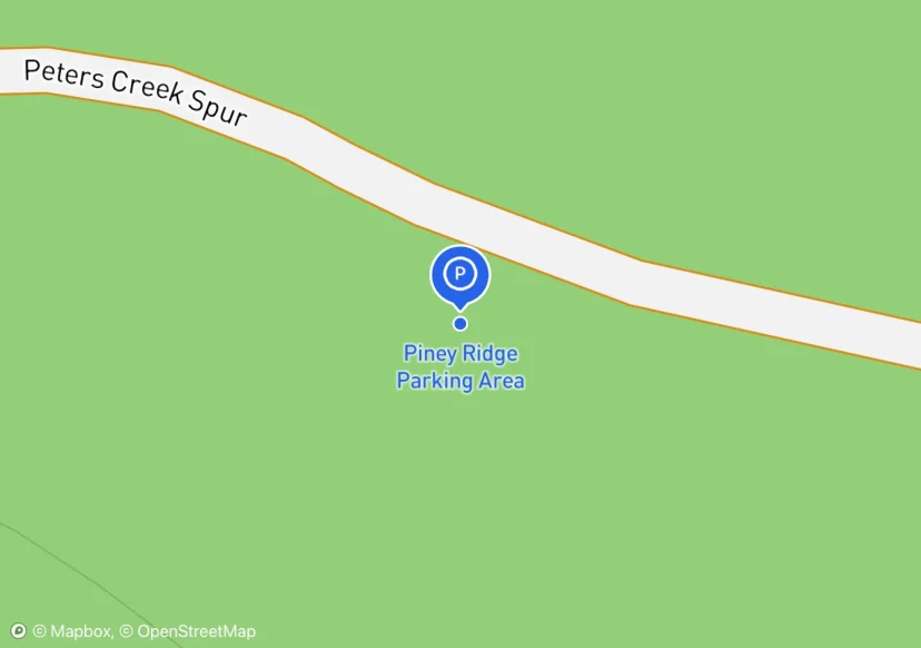
Piney Ridge Parking Area
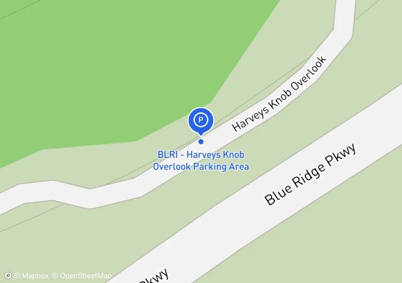
BLRI - Harveys Knob Overlook Parking Area
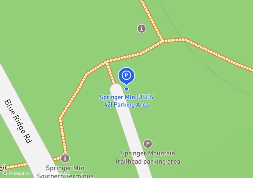
Springer Mtn (USFS 42) Parking Area
Springer Mountain Parking area
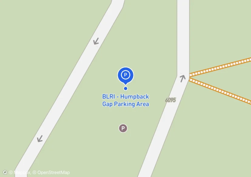
BLRI - Humpback Gap Parking Area
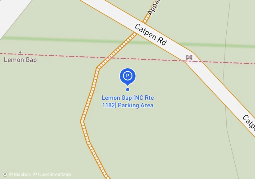
Lemon Gap (NC Rte 1182) Parking Area
1 gate up FS3505, visible from parking area, this is the gate accounted for in data dictionary.
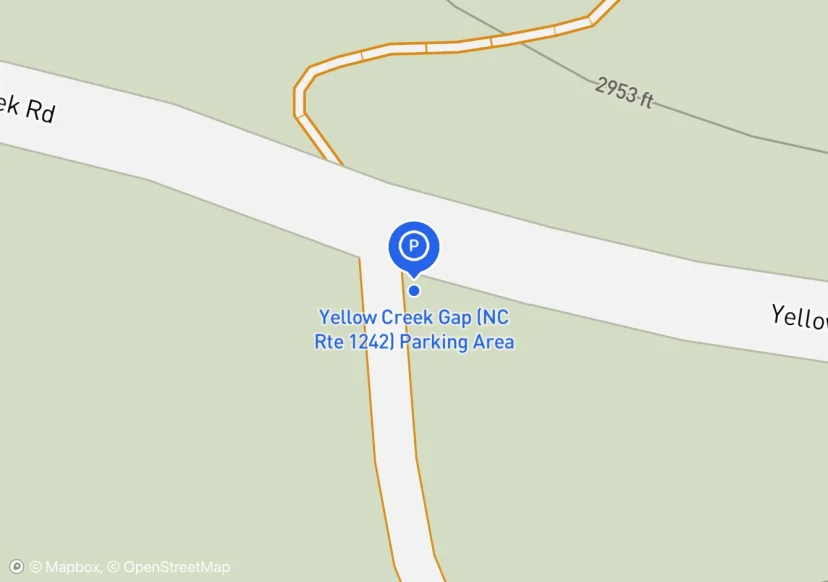
Yellow Creek Gap (NC Rte 1242) Parking Area
Parking area is wide area on either side of gated Forest Service Road. Need to talk to club to see if grassy area is the actual parking area. Approximately only 40 feet of the length is usable.
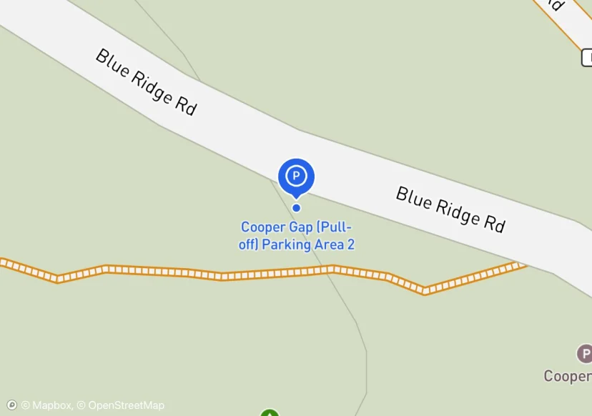
Cooper Gap (Pull-off) Parking Area 2
Trail South Side of Cooper Gap Road
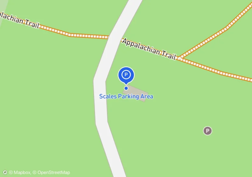
Scales Parking Area
Area at end of Scales Road (FS 613) in southwest corner of Scales Campsite. In 2020, 3 Gates and 3 Stiles + 1330 linear feet of Fence were added. The fence is Post and Rail style.
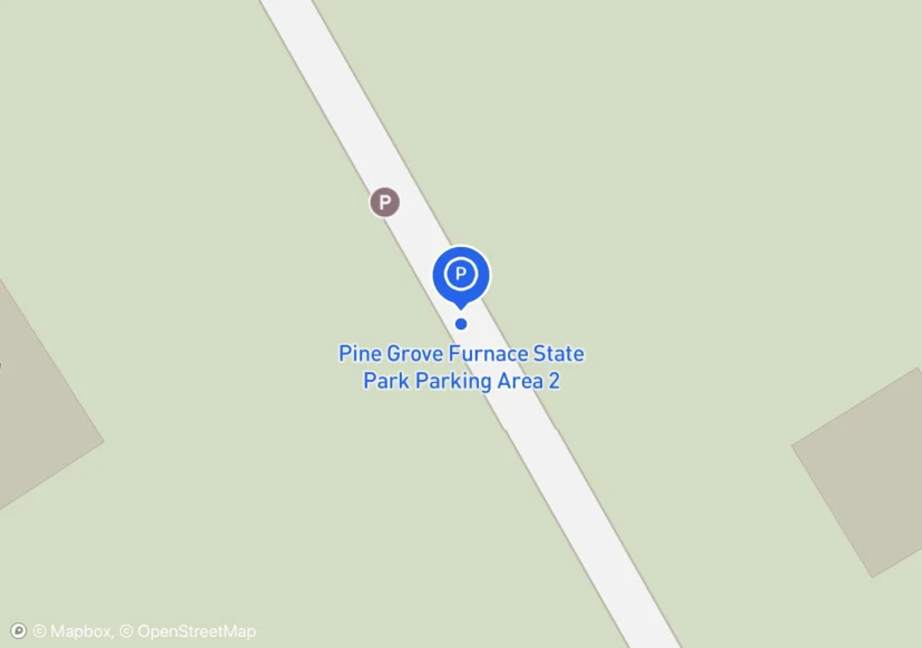
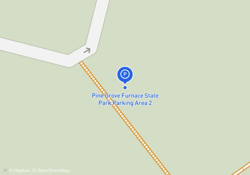
Pine Grove Furnace State Park Parking Area 2
Added based on existing GIS data; Not sure if we should include in FMSS or not
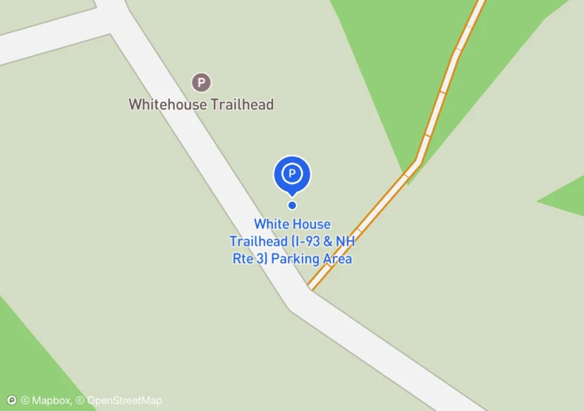
White House Trailhead (I-93 & NH Rte 3) Parking Area
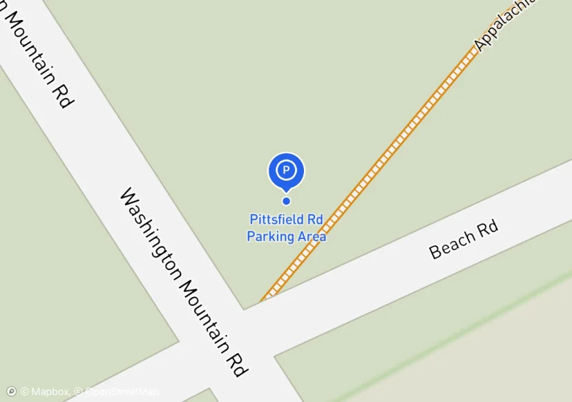
Pittsfield Rd Parking Area
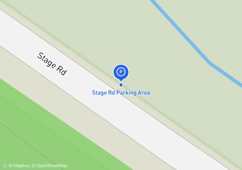
Stage Rd Parking Area

Davis Valley (VA Rte 617) Parking Area
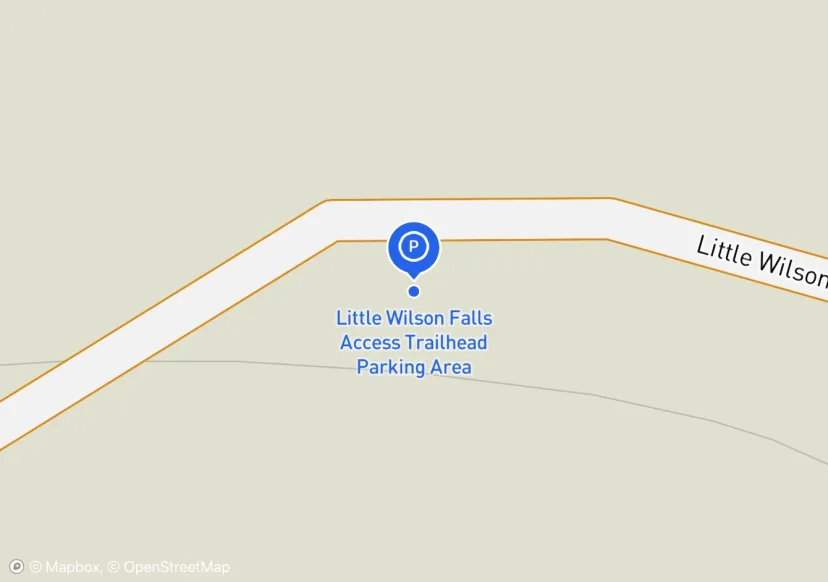
Little Wilson Falls Access Trailhead Parking Area
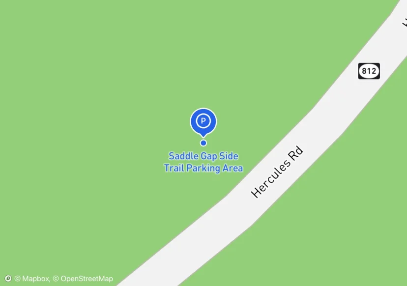
Saddle Gap Side Trail Parking Area
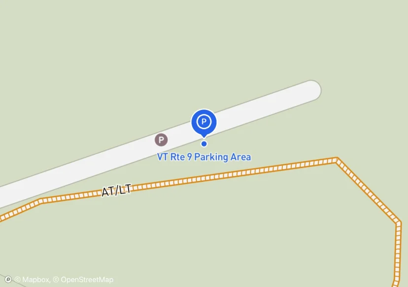
VT Rte 9 Parking Area
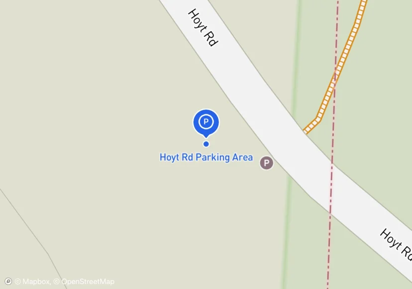
Hoyt Rd Parking Area
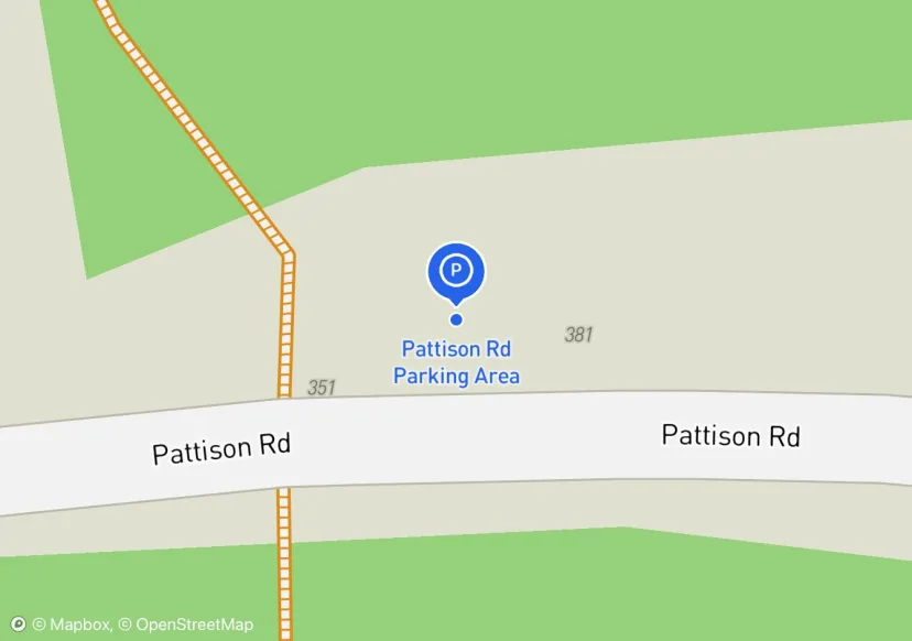
Pattison Rd Parking Area
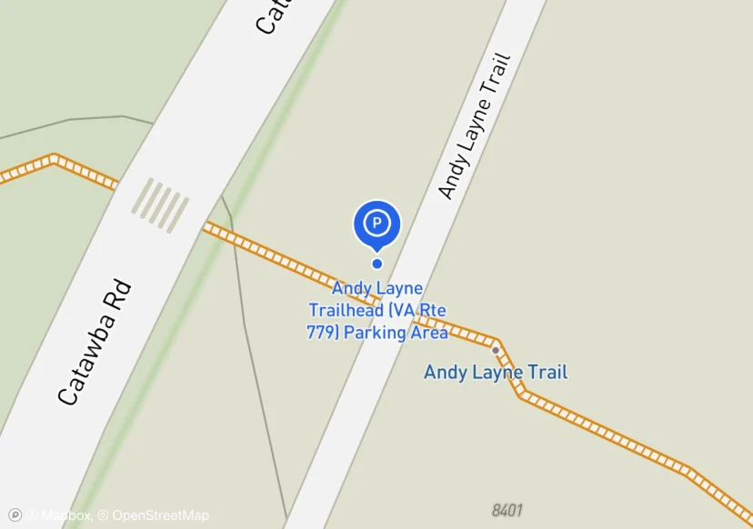
Andy Layne Trailhead (VA Rte 779) Parking Area
ATC has an easement on this parking lot
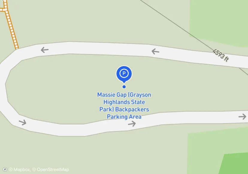
Massie Gap (Grayson Highlands State Park) Backpackers Parking Area
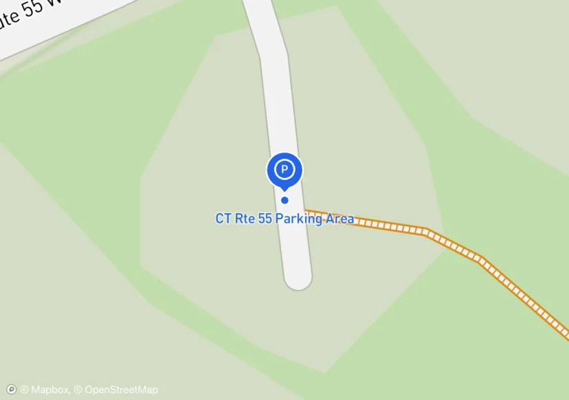
CT Rte 55 Parking Area
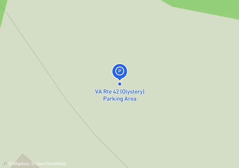
VA Rte 42 (Olystery) Parking Area
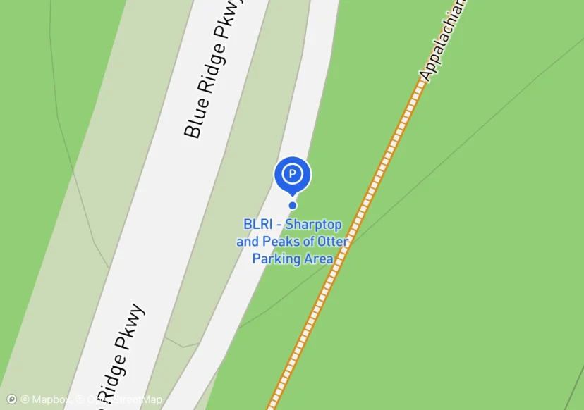
BLRI - Sharptop and Peaks of Otter Parking Area
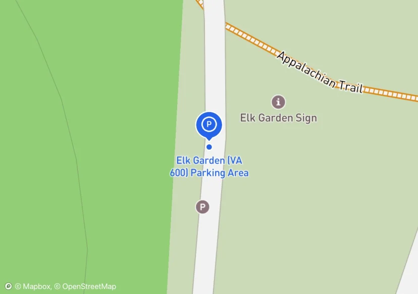
Elk Garden (VA 600) Parking Area
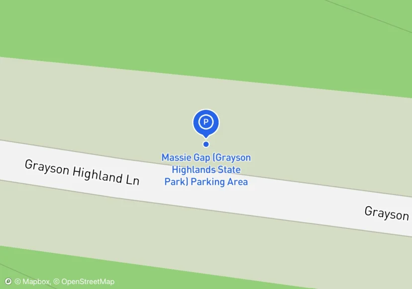
Massie Gap (Grayson Highlands State Park) Parking Area
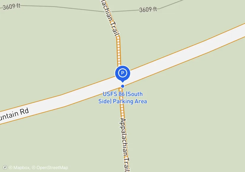
USFS 86 (South Side) Parking Area
South side of FS 86.
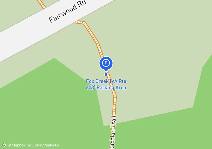
Fox Creek (VA Rte 603) Parking Area
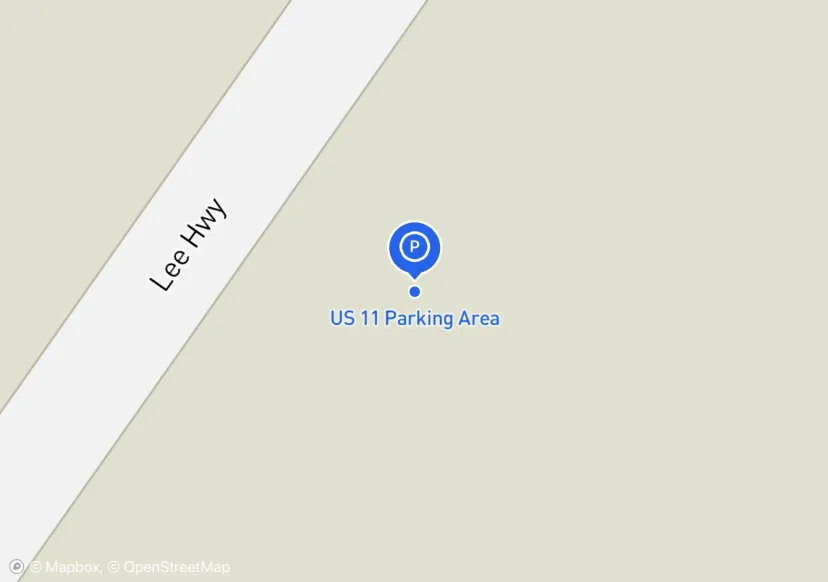
US 11 Parking Area
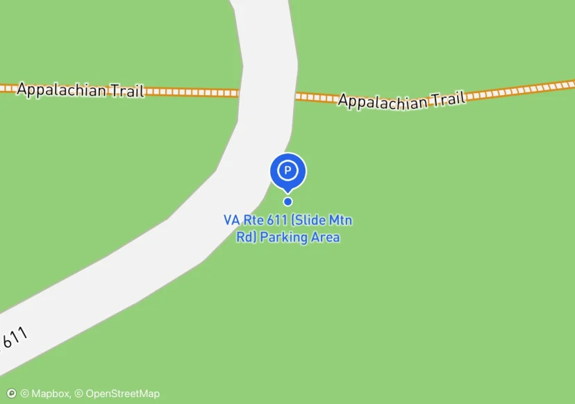
VA Rte 611 (Slide Mtn Rd) Parking Area
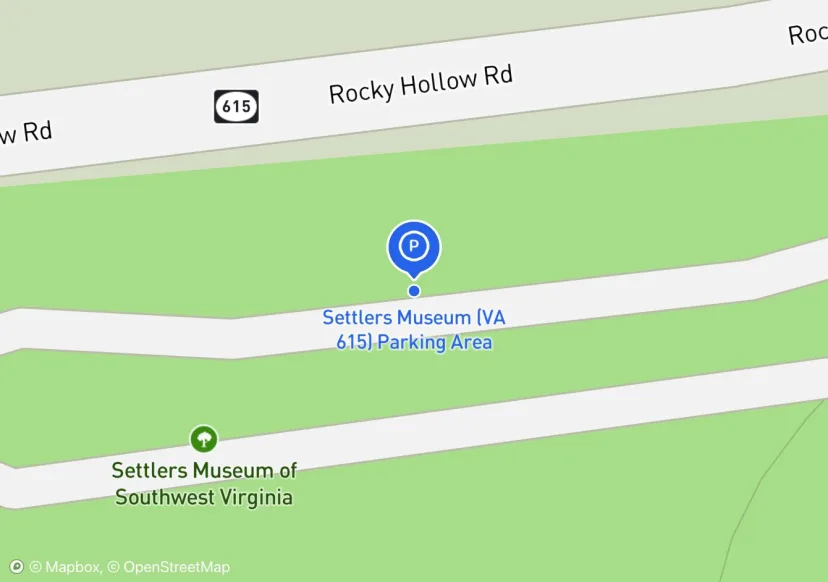
Settlers Museum (VA 615) Parking Area
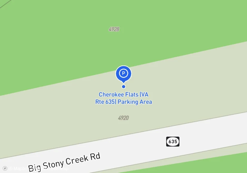
Cherokee Flats (VA Rte 635) Parking Area
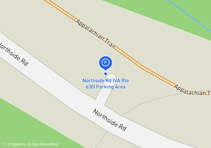
Northside Rd (VA Rte 630) Parking Area
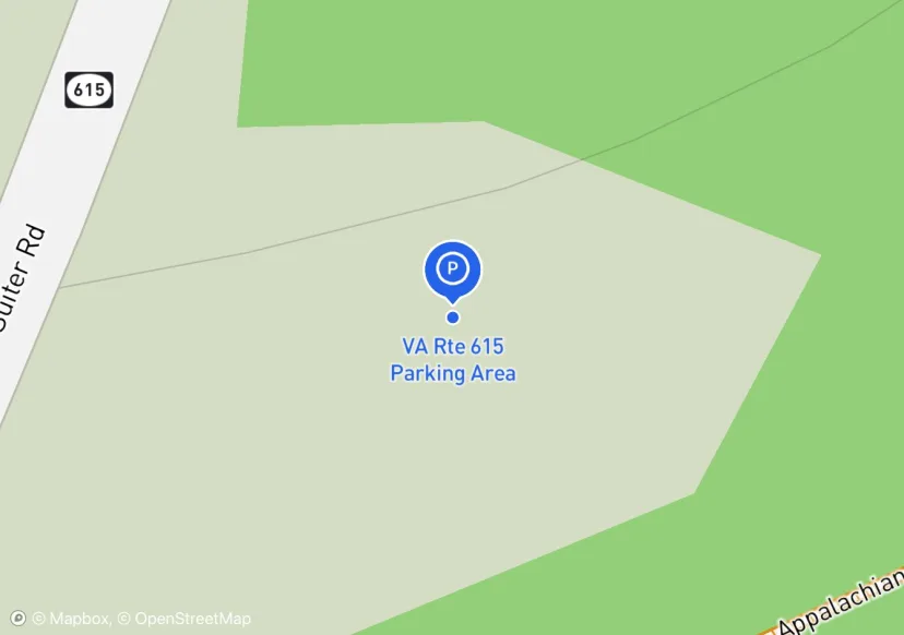
VA Rte 615 Parking Area
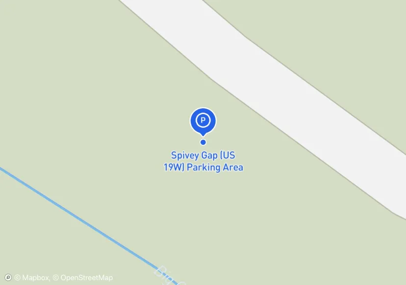
Spivey Gap (US 19W) Parking Area
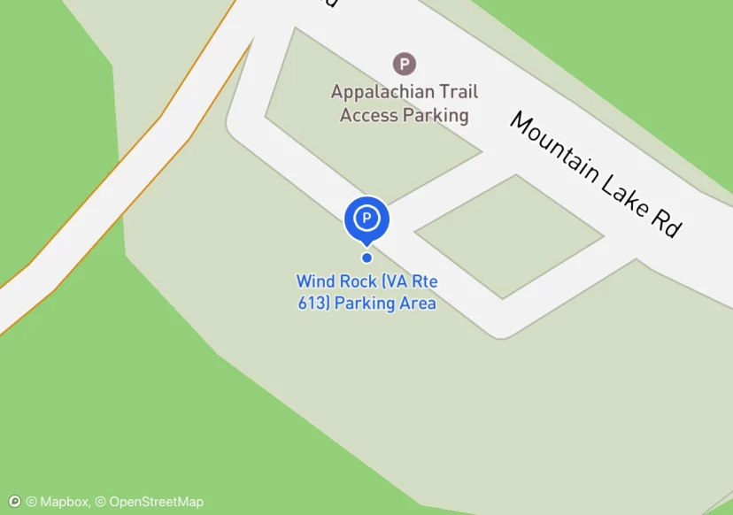
Wind Rock (VA Rte 613) Parking Area
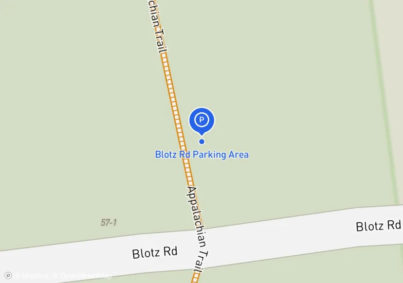
Blotz Rd Parking Area
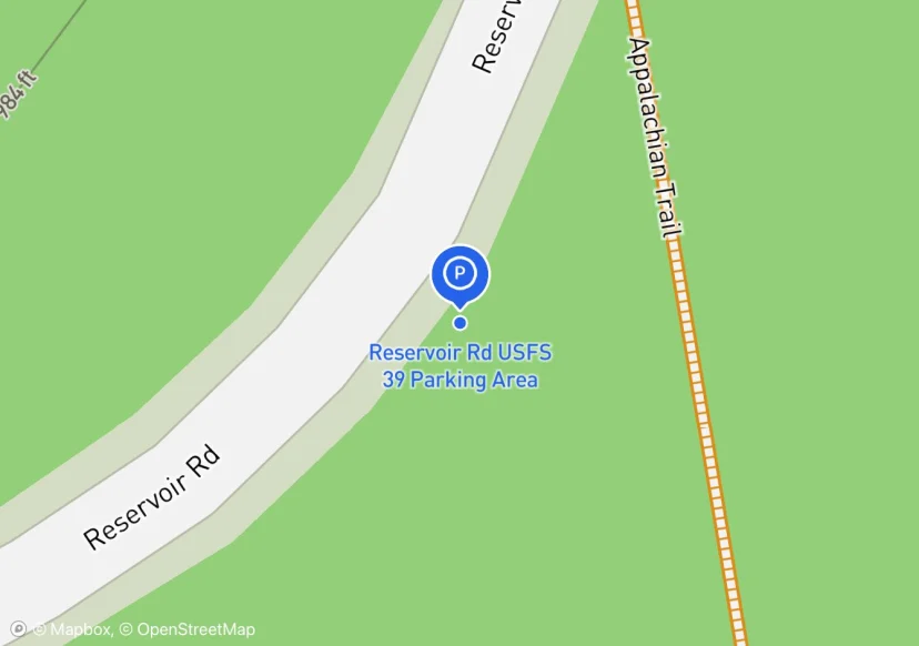
Reservoir Rd USFS 39 Parking Area
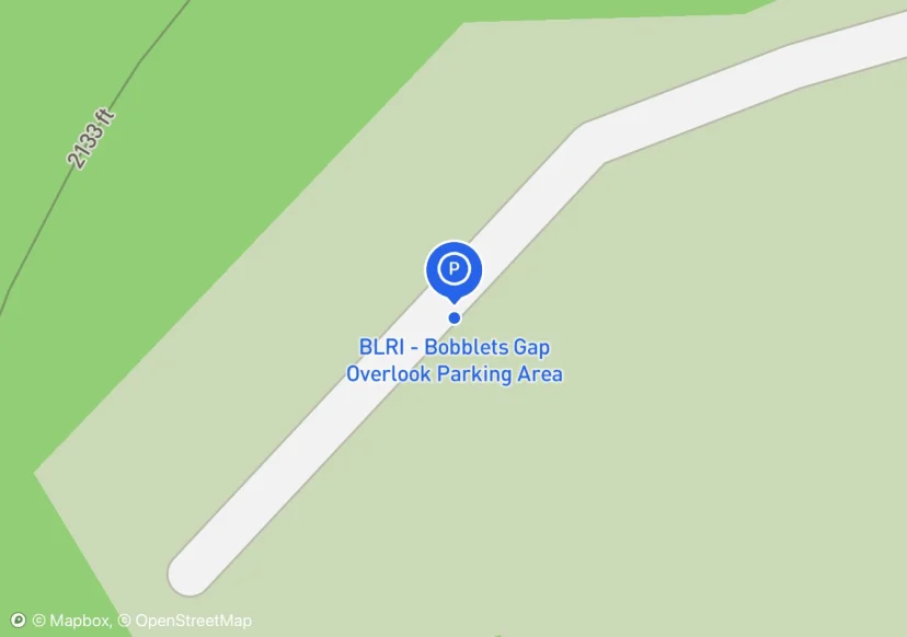
BLRI - Bobblets Gap Overlook Parking Area
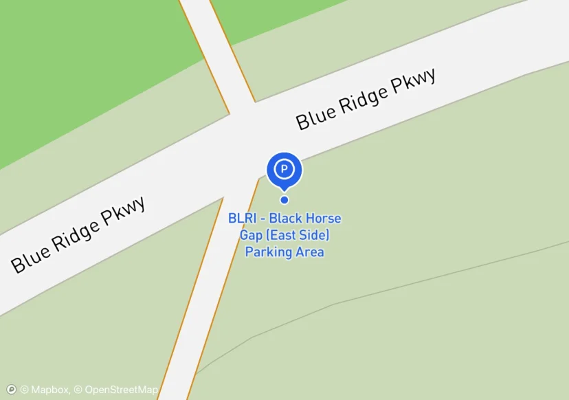
BLRI - Black Horse Gap (East Side) Parking Area
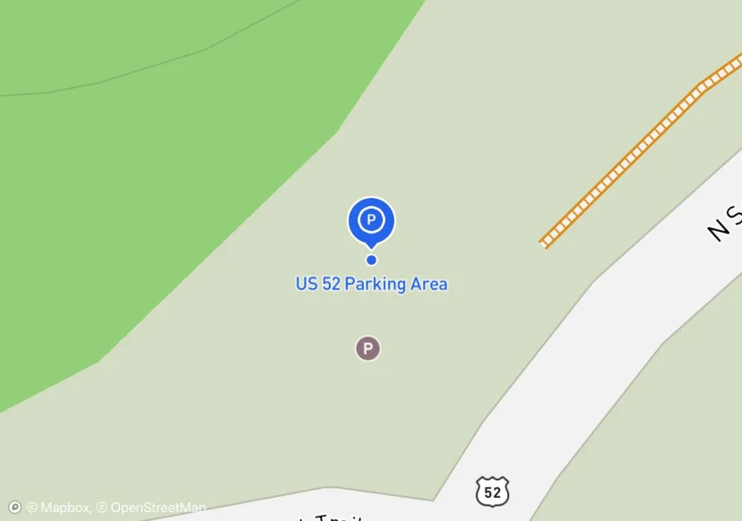
US 52 Parking Area
Along roadside between US 52 and I-77 rights of way.
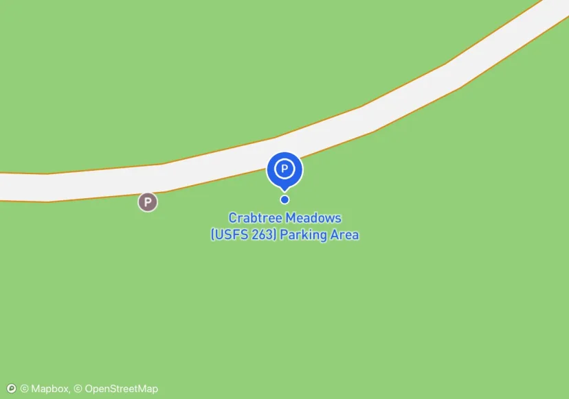
Crabtree Meadows (USFS 263) Parking Area
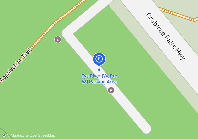
Tye River (VA Rte 56) Parking Area
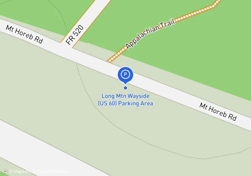
Long Mtn Wayside (US 60) Parking Area
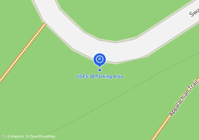
USFS 38 Parking Area
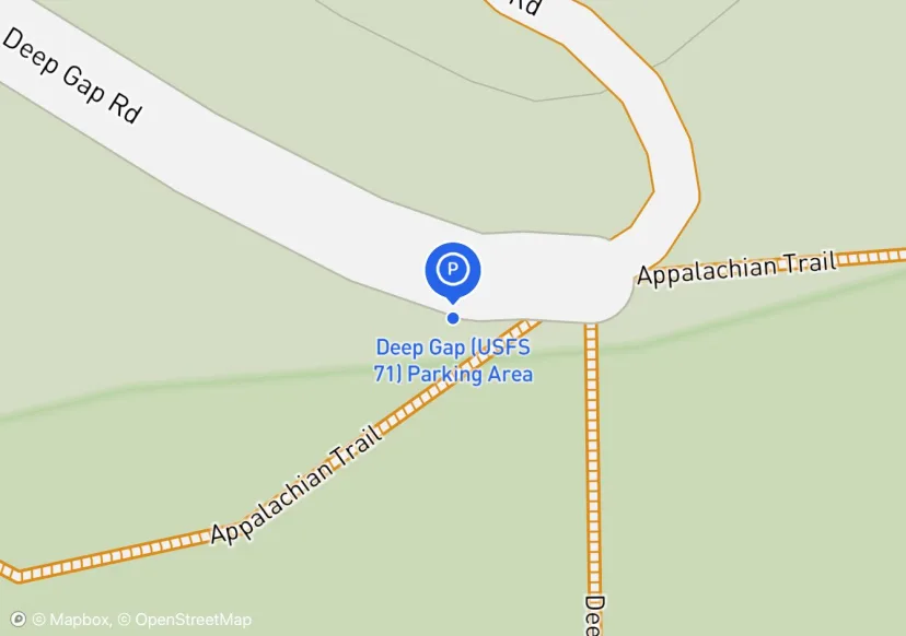
Deep Gap (USFS 71) Parking Area
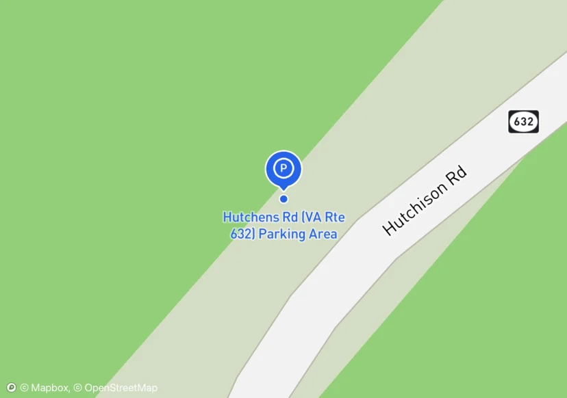
Hutchens Rd (VA Rte 632) Parking Area
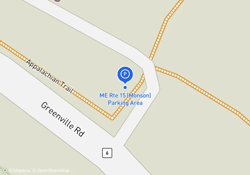
ME Rte 15 (Monson) Parking Area
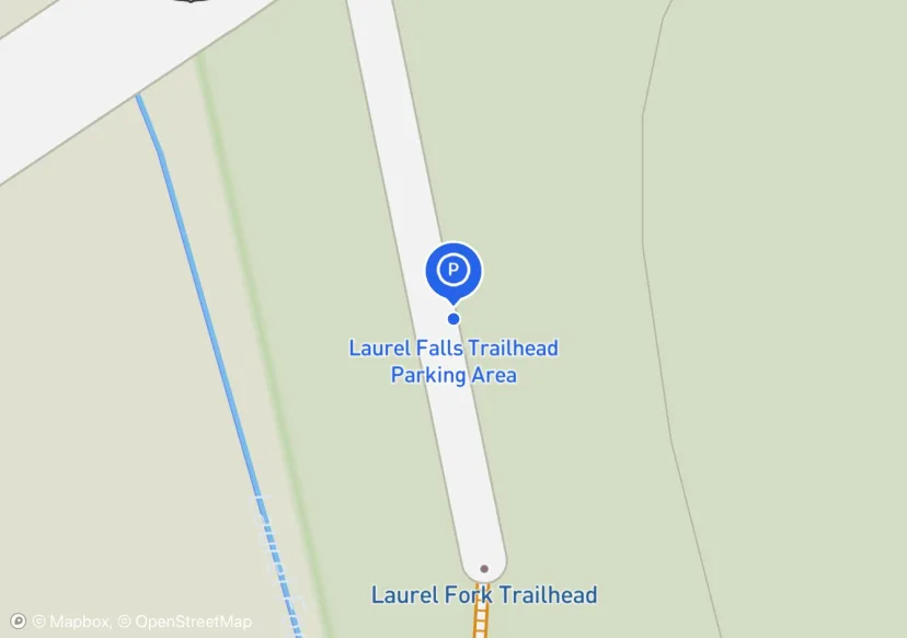
Laurel Falls Trailhead Parking Area
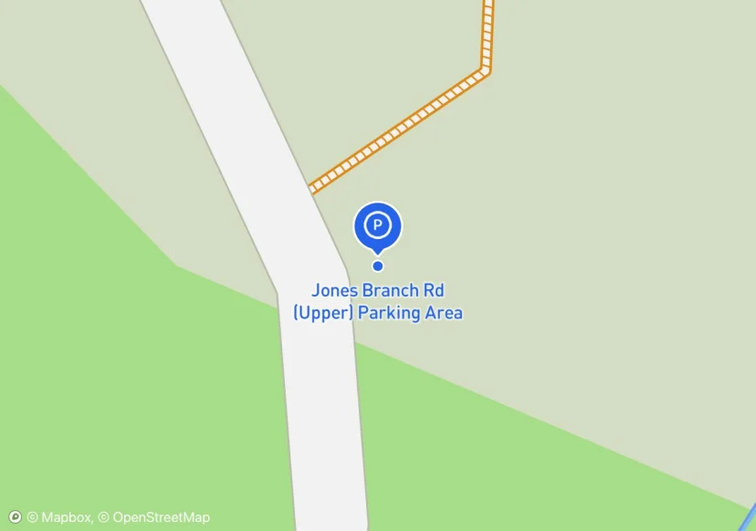
Jones Branch Rd (Upper) Parking Area
Pulloff, but has a blue blaze trail connecting to AT
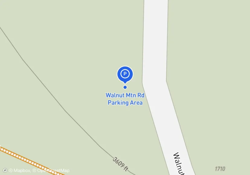
Walnut Mtn Rd Parking Area
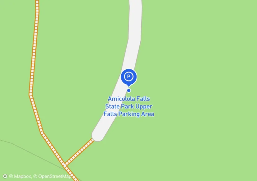
Amicolola Falls State Park Upper Falls Parking Area
fiberglass stops , dimensional wood fence, unsure of the FMSS/GIS id assignments
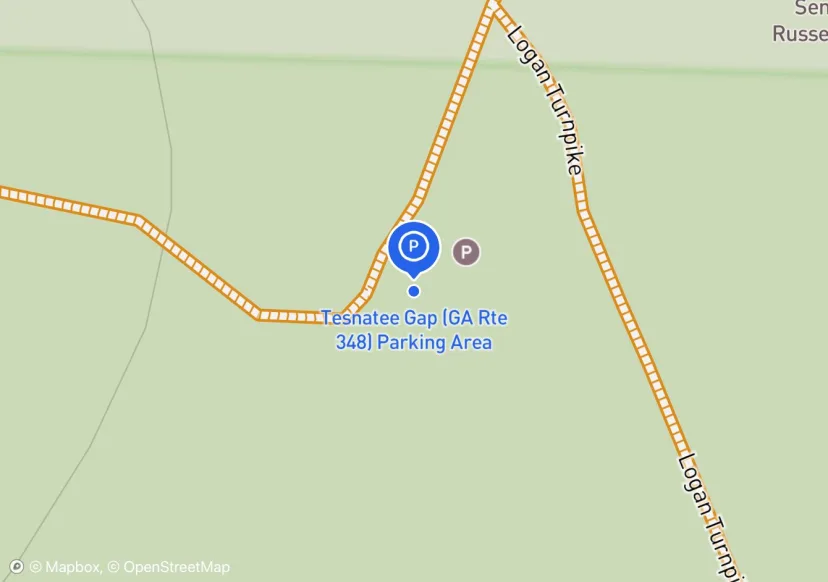
Tesnatee Gap (GA Rte 348) Parking Area
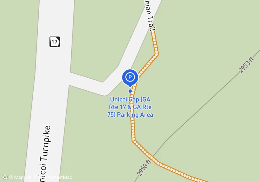
Unicoi Gap (GA Rte 17 & GA Rte 75) Parking Area
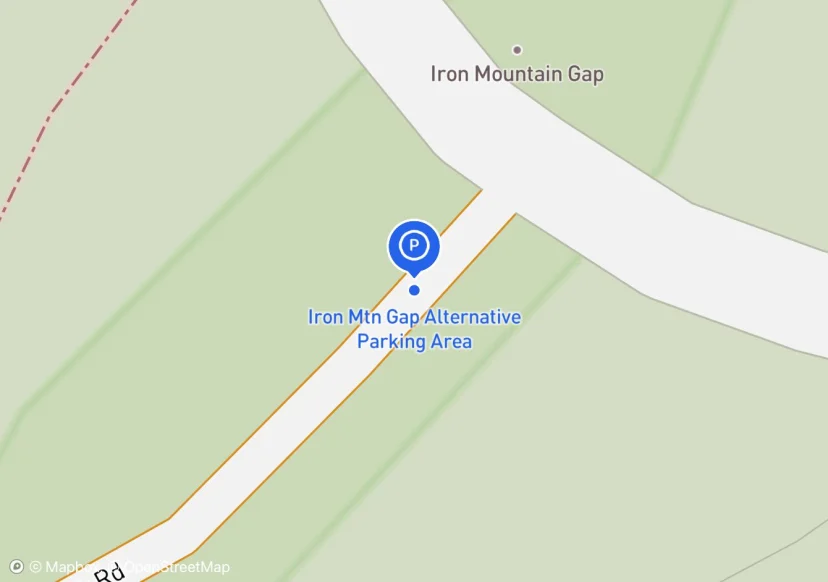
Iron Mtn Gap Alternative Parking Area
The two parking areas are disconnected by a pulloff asphalt area. This area has a road entrance in the middle of it.
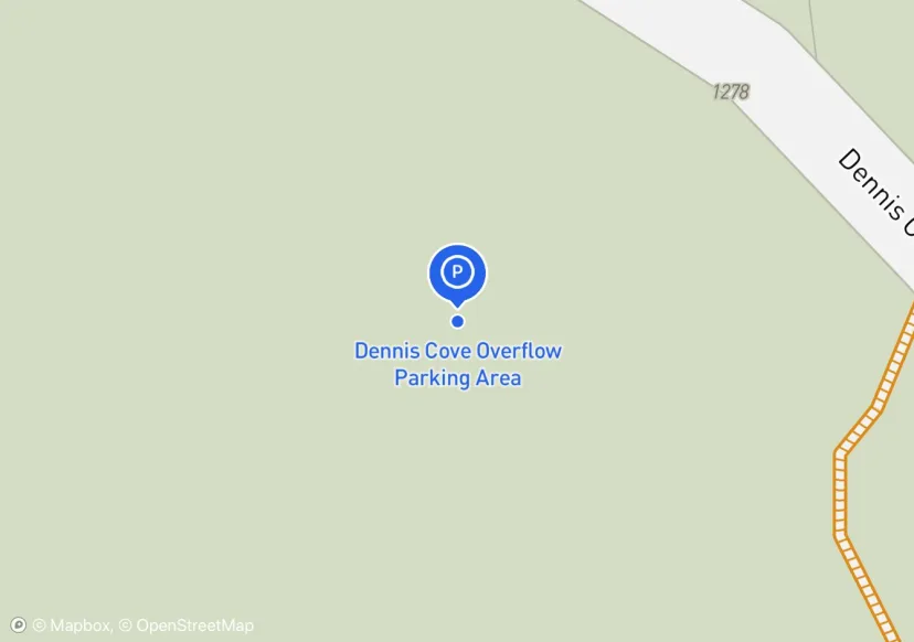
Dennis Cove Overflow Parking Area
This has been closed according to Morgan Sommerville
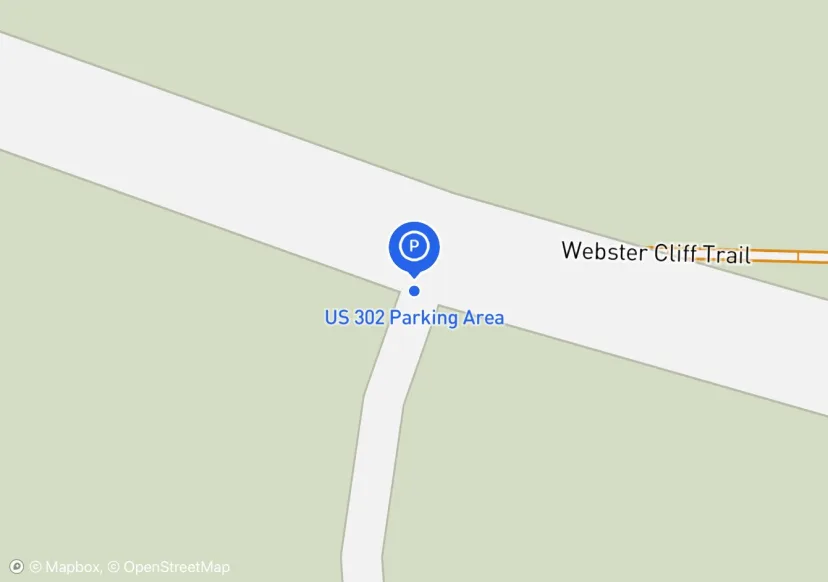
US 302 Parking Area
Added based on existing GIS data; Not sure if we should include in FMSS or not
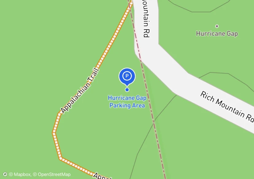
Hurricane Gap Parking Area
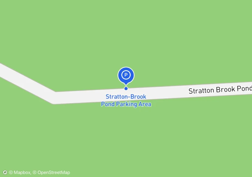
Stratton-Brook Pond Parking Area
Digtized Location based on 2014 Road Inventory Assessment; Added based on existing GIS data; Not sure if we should include in FMSS or not
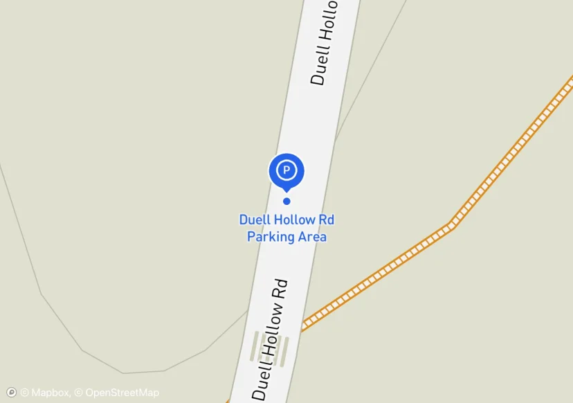
Duell Hollow Rd Parking Area
Added based on existing GIS data; Not sure if we should include in FMSS or not
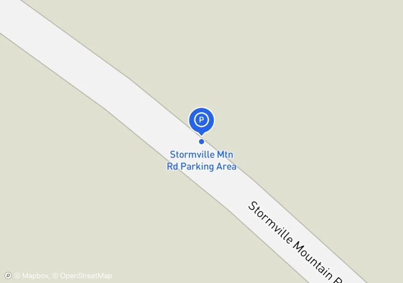
Stormville Mtn Rd Parking Area
Added based on existing GIS data; Not sure if we should include in FMSS or not
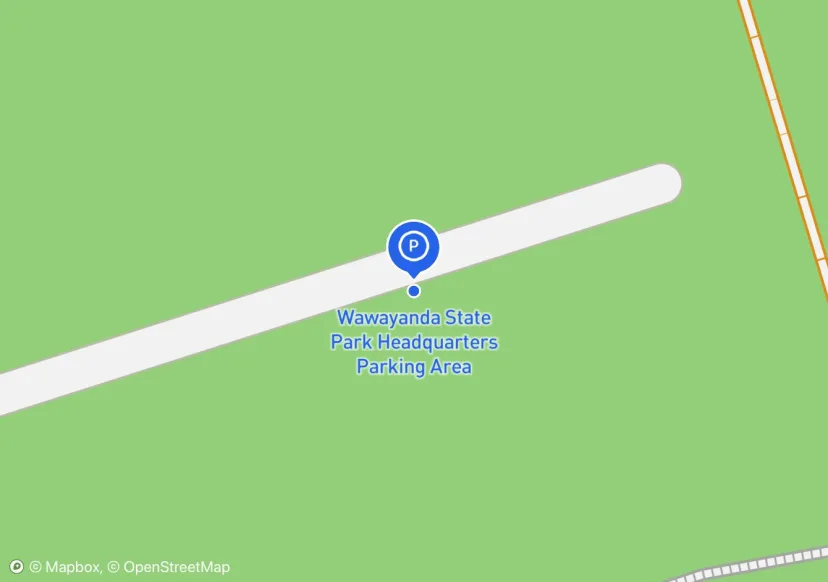
Wawayanda State Park Headquarters Parking Area
Digtized Location based on 2014 Road Inventory Assessment; Added based on existing GIS data; Not sure if we should include in FMSS or not
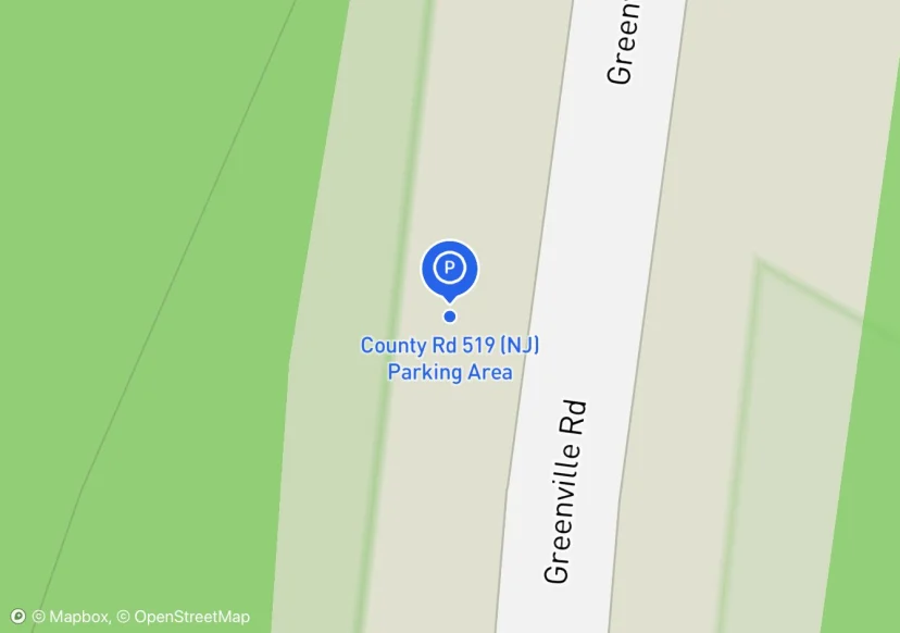
County Rd 519 (NJ) Parking Area
Added based on existing GIS data; Not sure if we should include in FMSS or not
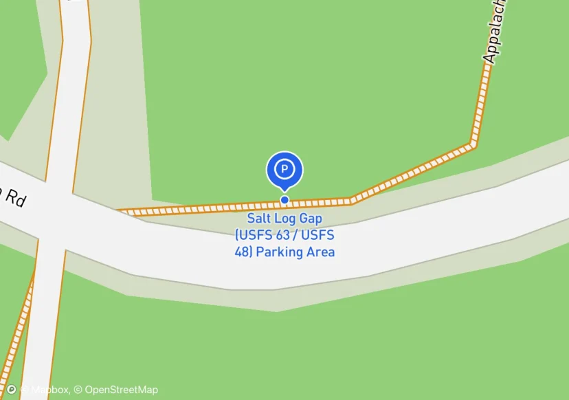
Salt Log Gap (USFS 63 / USFS 48) Parking Area
Just a few spots in among the trees; Added based on existing GIS data; Not sure if we should include in FMSS or not
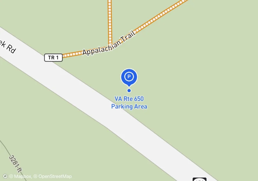
VA Rte 650 Parking Area
User Created, high use; Added based on existing GIS data; Not sure if we should include in FMSS or not
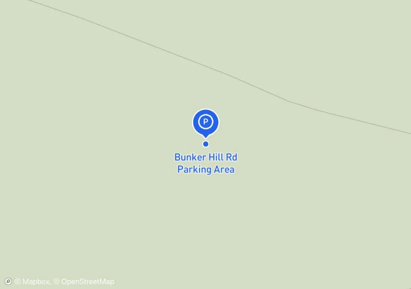
Bunker Hill Rd Parking Area
Added based on existing GIS data; Not sure if we should include in FMSS or not
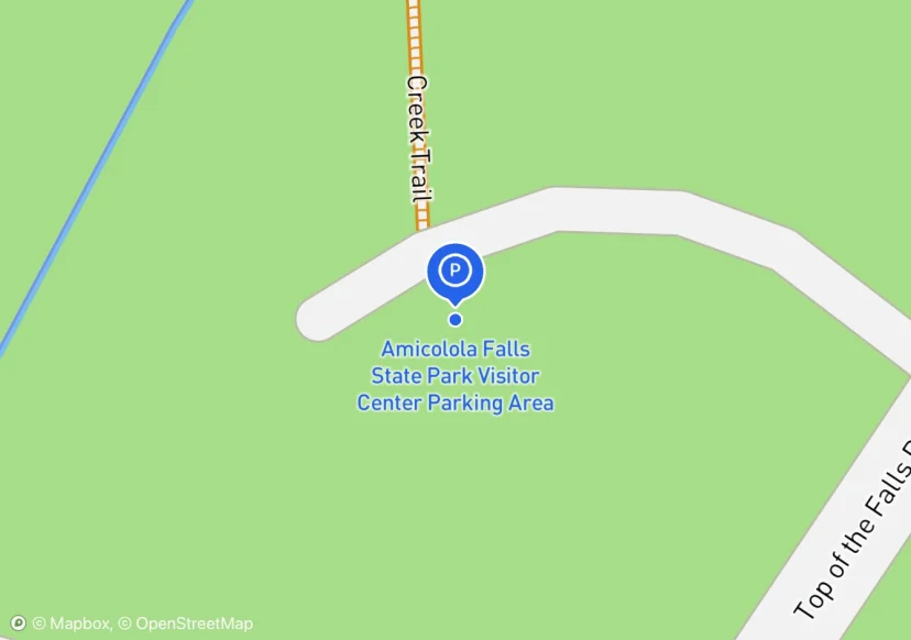
Amicolola Falls State Park Visitor Center Parking Area
striping is fading and/or nonexistent, there are parking fees payment boxes and signs unsure whether this constitues regaulatory signage
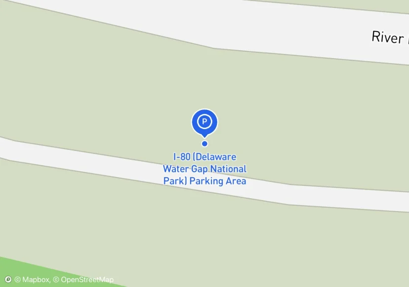
I-80 (Delaware Water Gap National Park) Parking Area
Digtized Location based on 2014 Road Inventory Assessment; Added based on existing GIS data; Not sure if we should include in FMSS or not
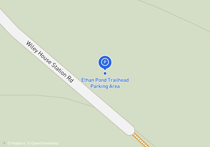
Ethan Pond Trailhead Parking Area
Surface 1/2 asphalt from the paved road leading up, 1/2 gravel; High Use:Parking Area full with 15 cars and just as many parked along to road heading down to RTE 302
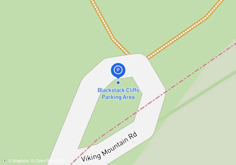
Blackstack Cliffs Parking Area
Not sure if this parking area should be included. People are using it to access the AT though and specifically the scenic vistas on the AT
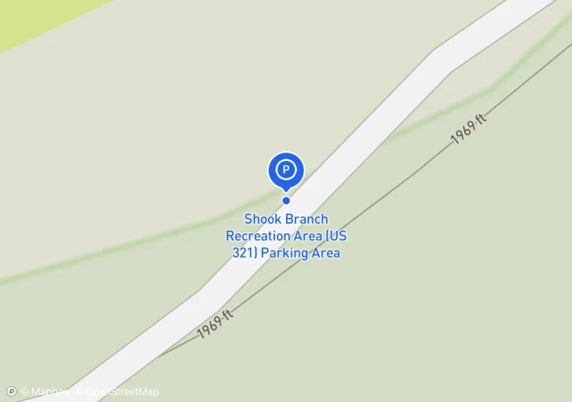
Shook Branch Recreation Area (US 321) Parking Area
Not sure this should be in the inventory, it is a pay to use, day use area. The parking is for the beach.
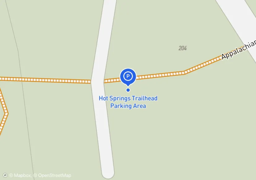
Hot Springs Trailhead Parking Area
Used to be referred to as the "Jesuit Hostel" parking area b/c it is beside a Hostel, but the parking area is on USFS land. The new hostel nearby is called The Hostel at Laughing Heart Lodge.
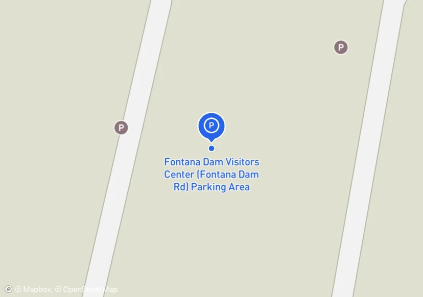
Fontana Dam Visitors Center (Fontana Dam Rd) Parking Area
Railing along sidewalk in parking lot, not sure wheter to colect or not. Was not able to access part of lower parking area closed for construction. 27 more spots and 2 ADA spots in construction area 2 ADA symbols
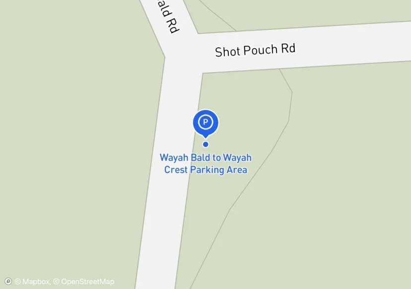
Wayah Bald to Wayah Crest Parking Area
Maintainer showed me this parking lot adjacent to trail. It is called Shot Pouch Parking Area
MA Rte 23 (Great Barrington) Parking Area
Hogan Rd Parking Area
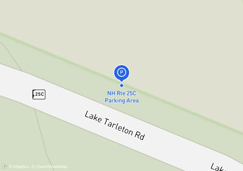
NH Rte 25C Parking Area
Wide dirt shoulder extends 100ft further. See photo
Wadleigh Stream Rd Trailhead Area
Pomfret Rd Parking Area
Gould Trail (Day Use) Parking Area
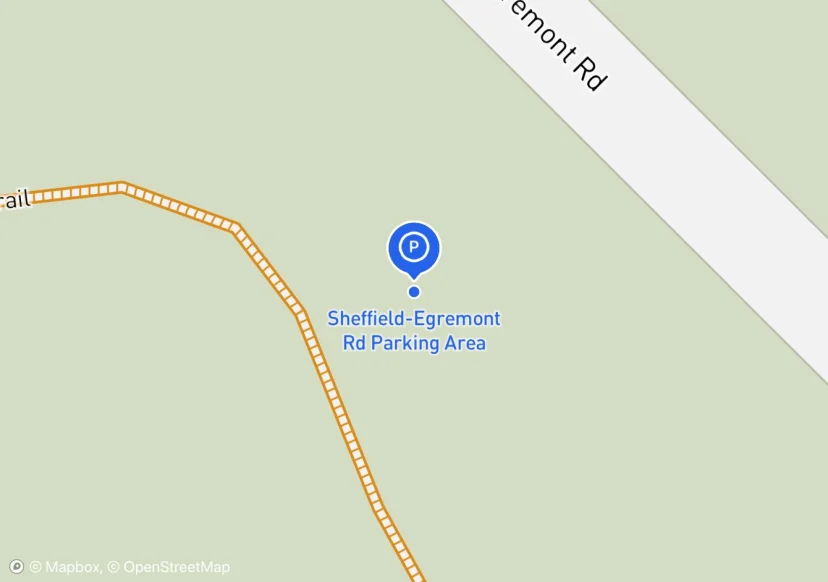
Sheffield-Egremont Rd Parking Area
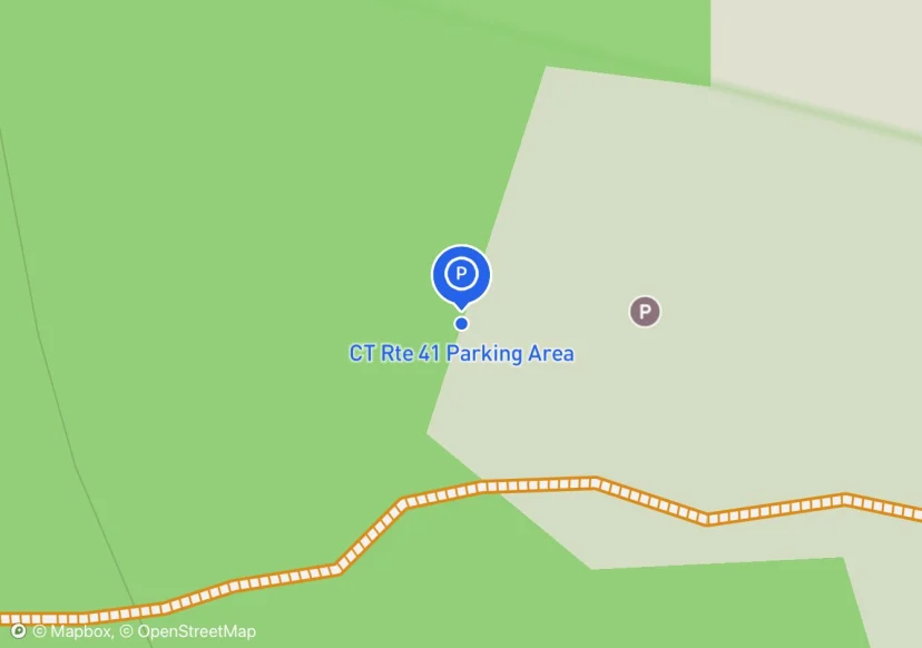
CT Rte 41 Parking Area
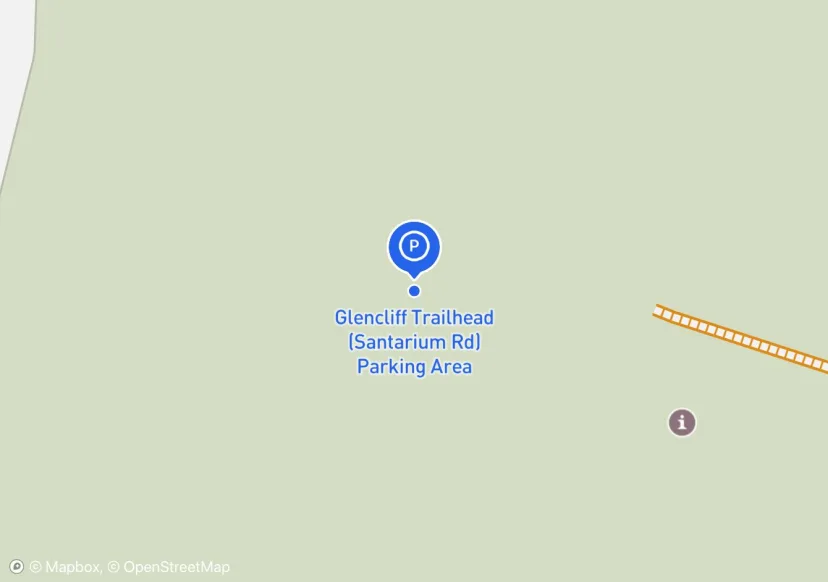
Glencliff Trailhead (Santarium Rd) Parking Area
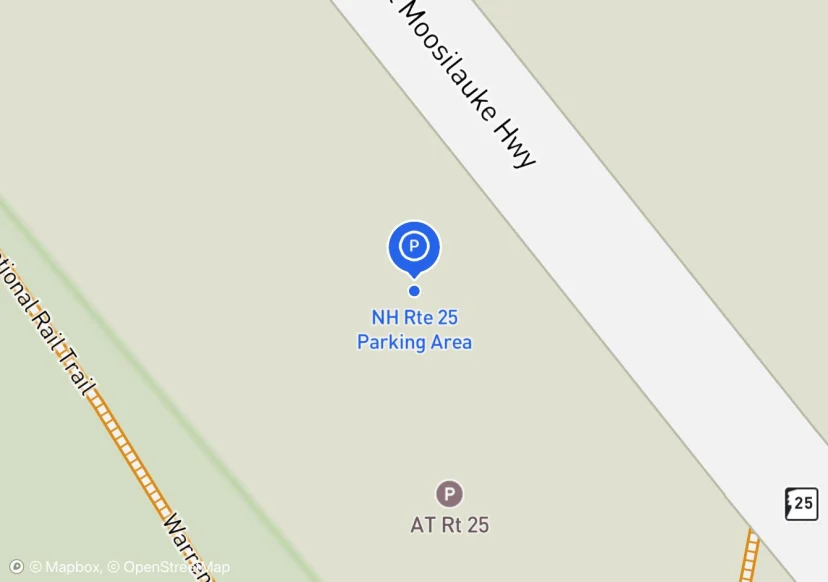
NH Rte 25 Parking Area

County Rd (GMC) Parking Area
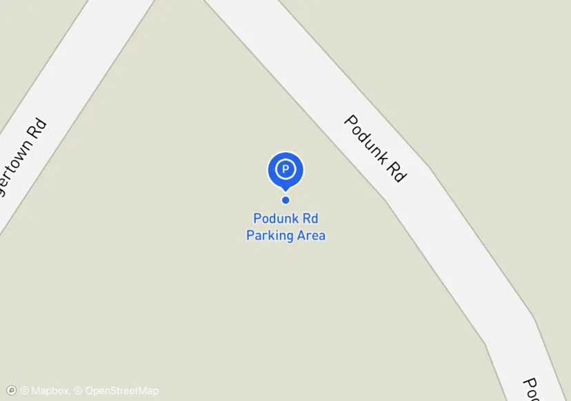
Podunk Rd Parking Area
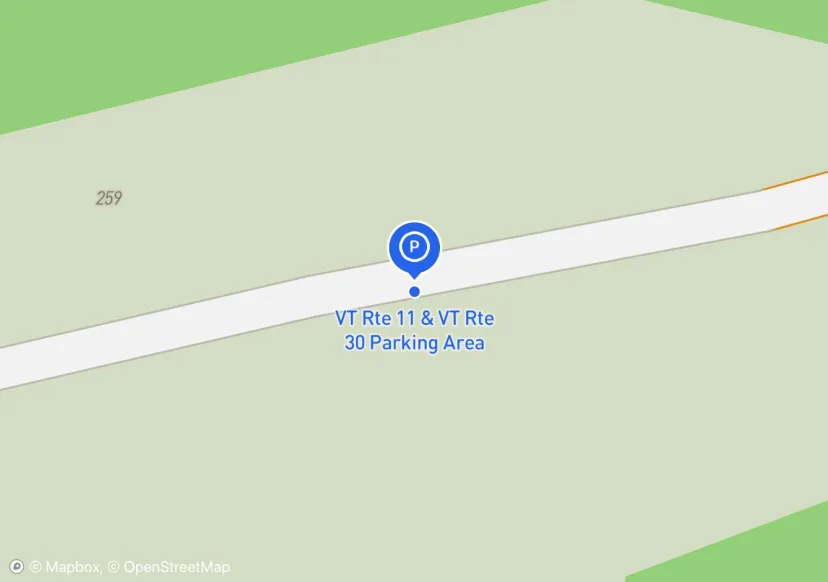
VT Rte 11 & VT Rte 30 Parking Area
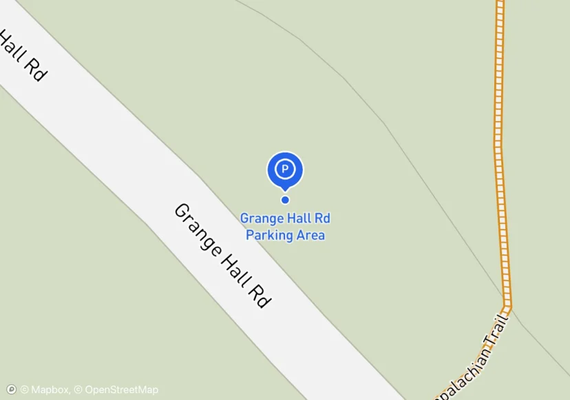
Grange Hall Rd Parking Area
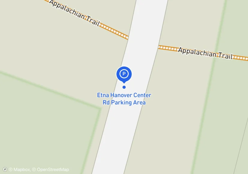
Etna Hanover Center Rd Parking Area
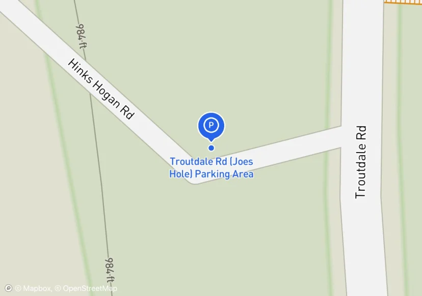
Troutdale Rd (Joes Hole) Parking Area
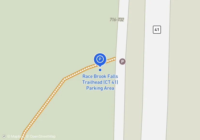
Race Brook Falls Trailhead (CT 41) Parking Area
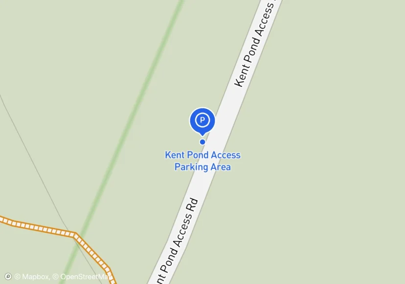
Kent Pond Access Parking Area
Not sure if this should be included
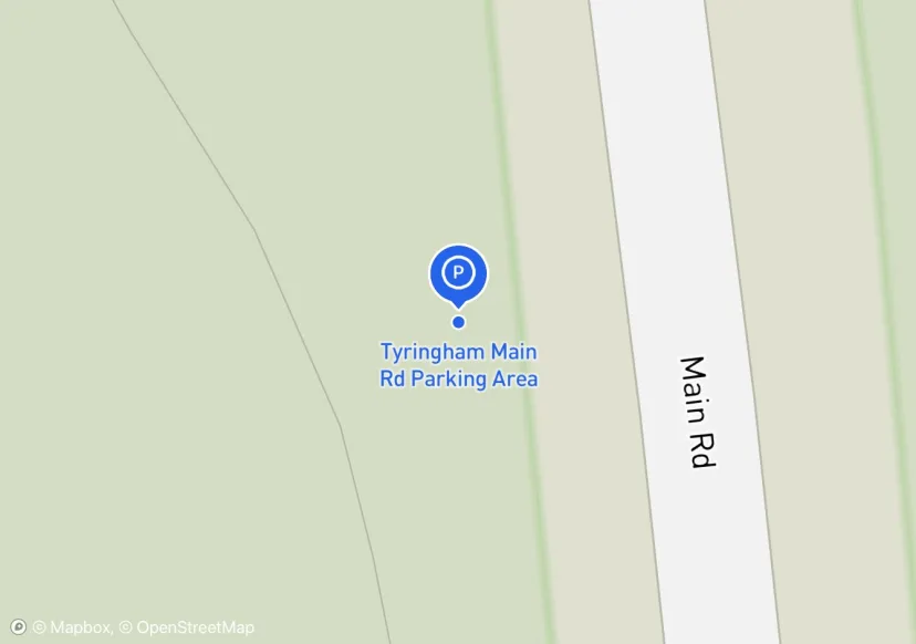
Tyringham Main Rd Parking Area
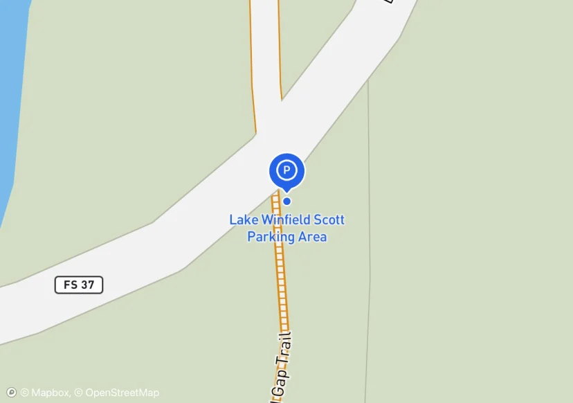
Lake Winfield Scott Parking Area
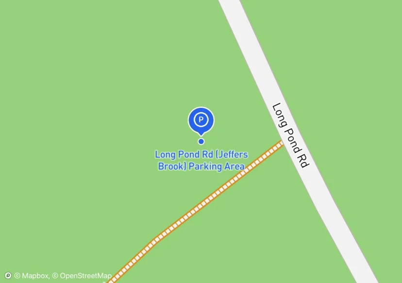
Long Pond Rd (Jeffers Brook) Parking Area
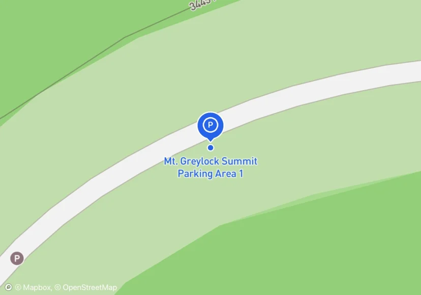
Mt. Greylock Summit Parking Area 1
Extent adjusted around cars
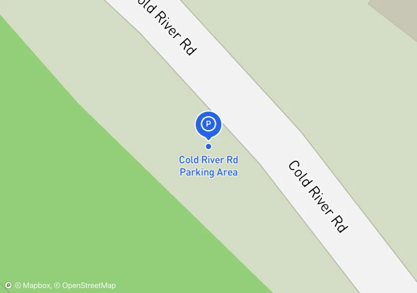
Cold River Rd Parking Area
Wide, mowed shoulder on either side of road. Nothing official.
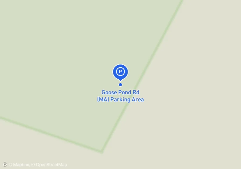
Goose Pond Rd (MA) Parking Area
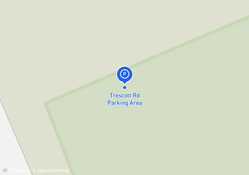
Trescott Rd Parking Area
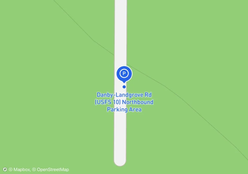
Danby-Landgrove Rd (USFS 10) Northbound Parking Area
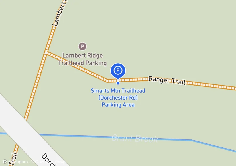
Smarts Mtn Trailhead (Dorchester Rd) Parking Area
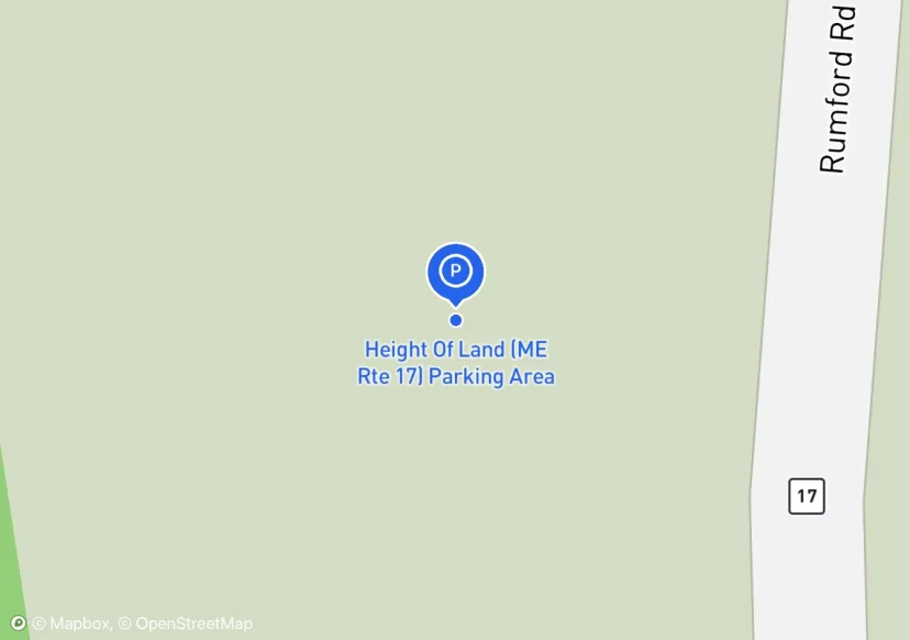
Height Of Land (ME Rte 17) Parking Area
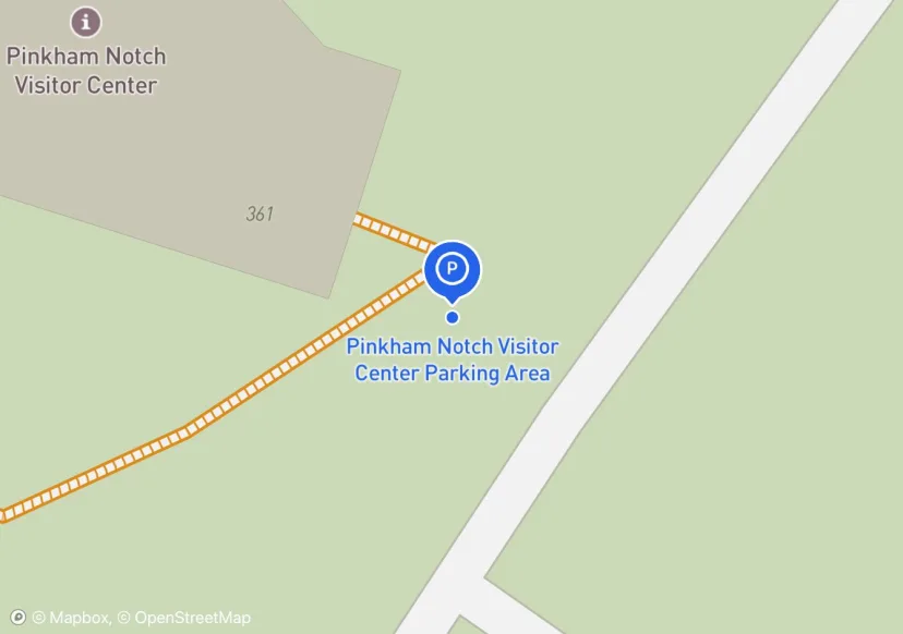
Pinkham Notch Visitor Center Parking Area
engineered with asphalt (450ft * 60ft) dirt wings on both sides; GIS says owner is NH DOT but lot is at an AMC facitility
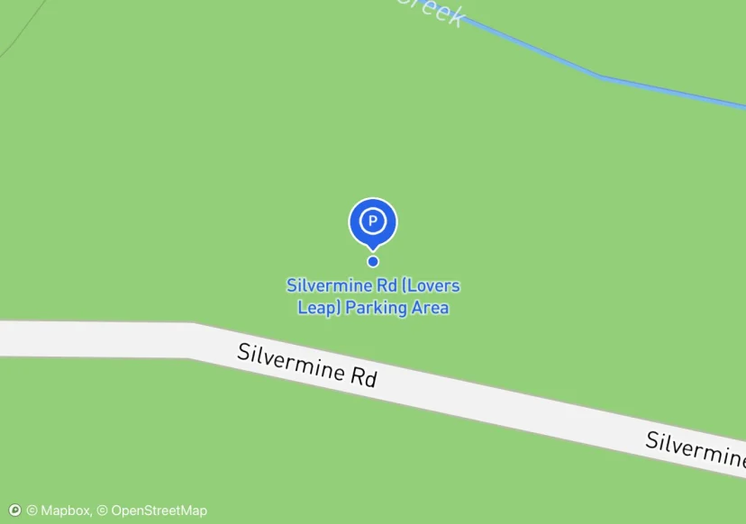
Silvermine Rd (Lovers Leap) Parking Area
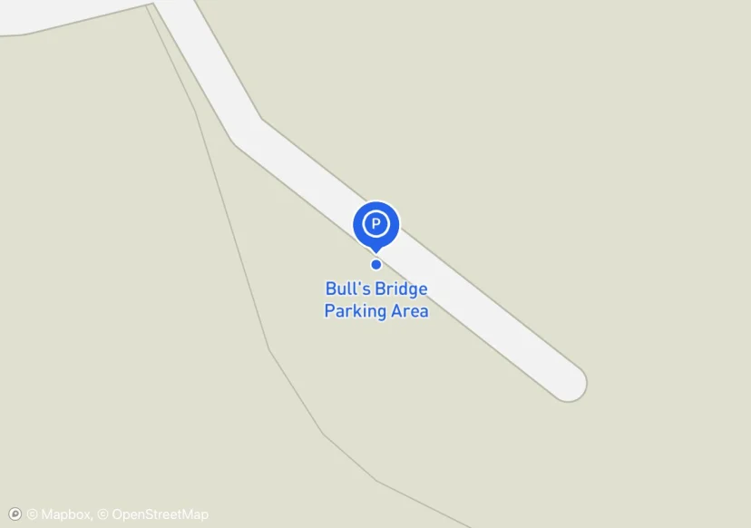
Bull's Bridge Parking Area
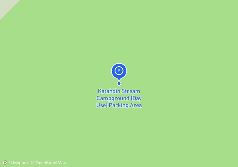
Katahdin Stream Campground (Day Use) Parking Area
Hunt Trail; Added based on existing GIS data; Not sure if we should include in FMSS or not
Caribou Valley Rd Parking Area
Kind of up in the air for future status, maybe improvements, currently not official though; Added based on existing GIS data; Not sure if we should include in FMSS or not
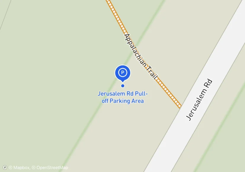
Jerusalem Rd Pull-off Parking Area
Added based on existing GIS data; Not sure if we should include in FMSS or not
Upper Goose Pond Parking Area
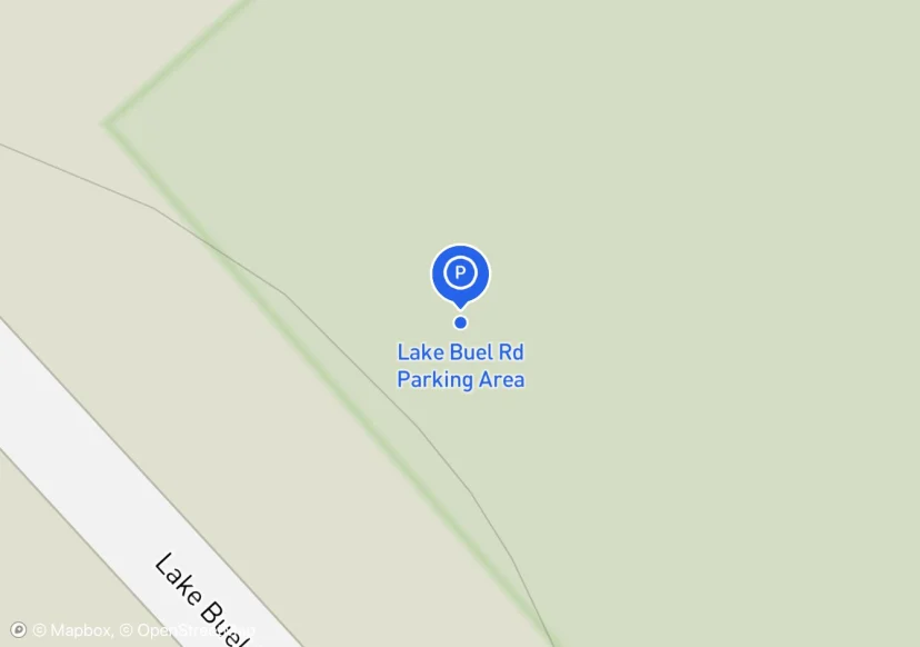
Lake Buel Rd Parking Area
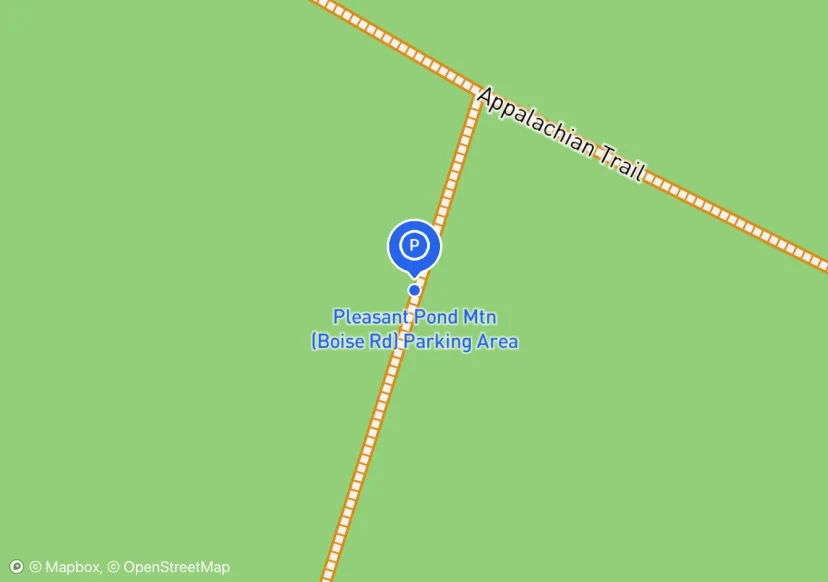
Pleasant Pond Mtn (Boise Rd) Parking Area
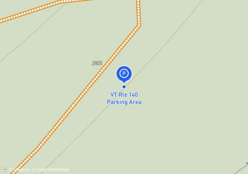
VT Rte 140 Parking Area
Surface 50/50 Asphalt to Gravel
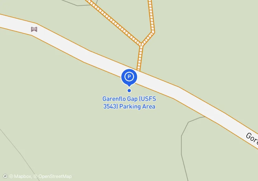
Garenflo Gap (USFS 3543) Parking Area
NC Rte 1182 Parking Area
On trail at junction of 1182 and 2250
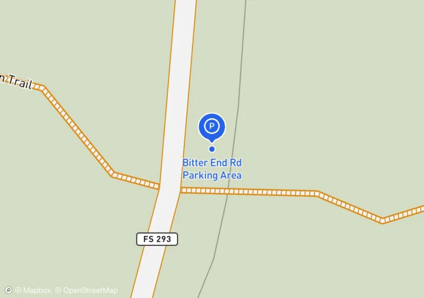
Bitter End Rd Parking Area
Parking surface is dirt/grass
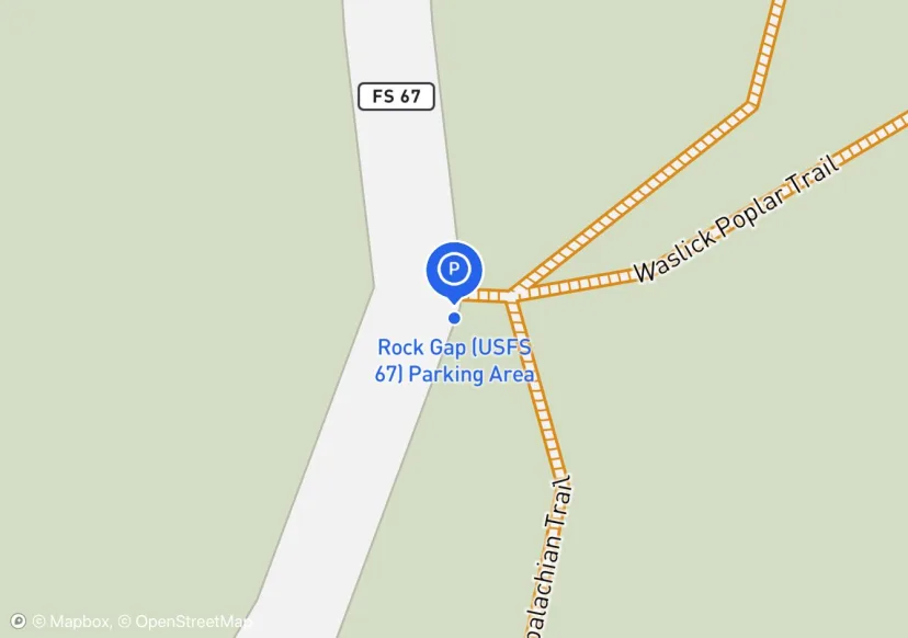
Rock Gap (USFS 67) Parking Area
curbing is technically rail road ties. USFS 67
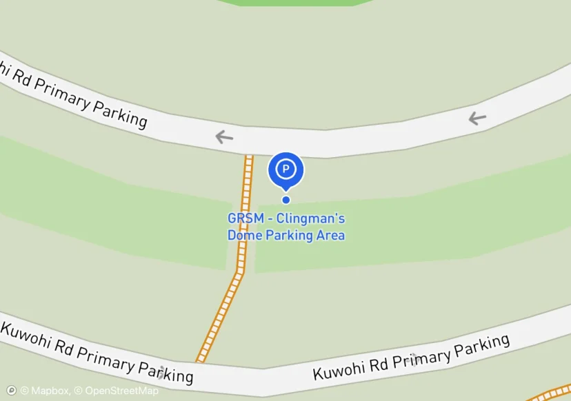
GRSM - Clingman's Dome Parking Area
None
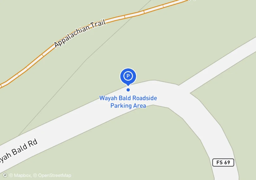
Wayah Bald Roadside Parking Area
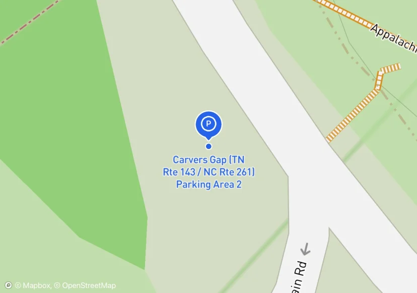
Carvers Gap (TN Rte 143 / NC Rte 261) Parking Area 2
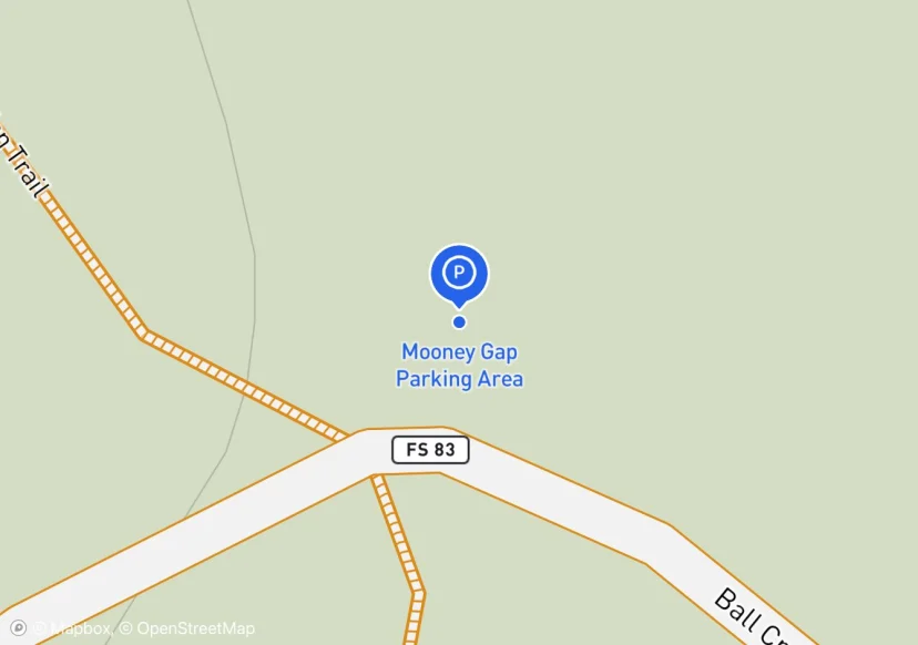
Mooney Gap Parking Area
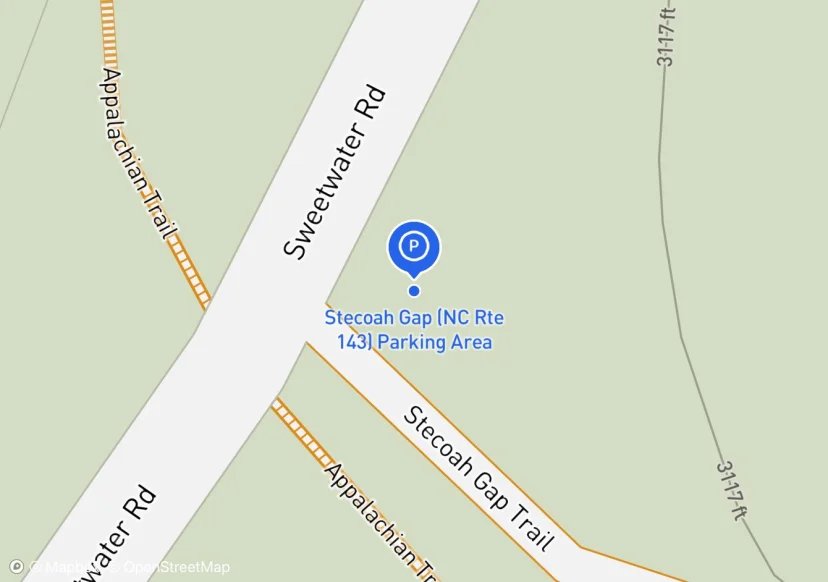
Stecoah Gap (NC Rte 143) Parking Area
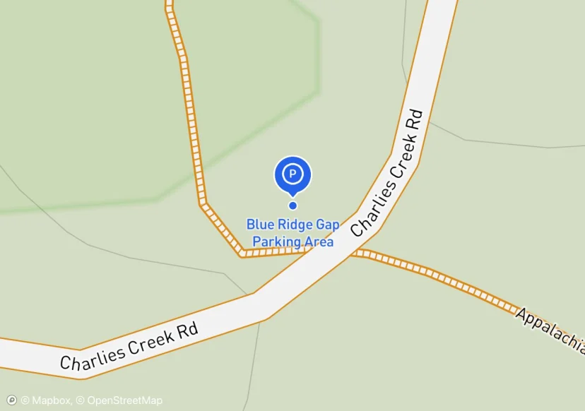
Blue Ridge Gap Parking Area
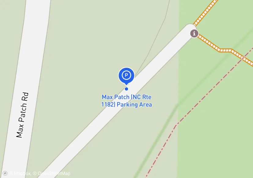
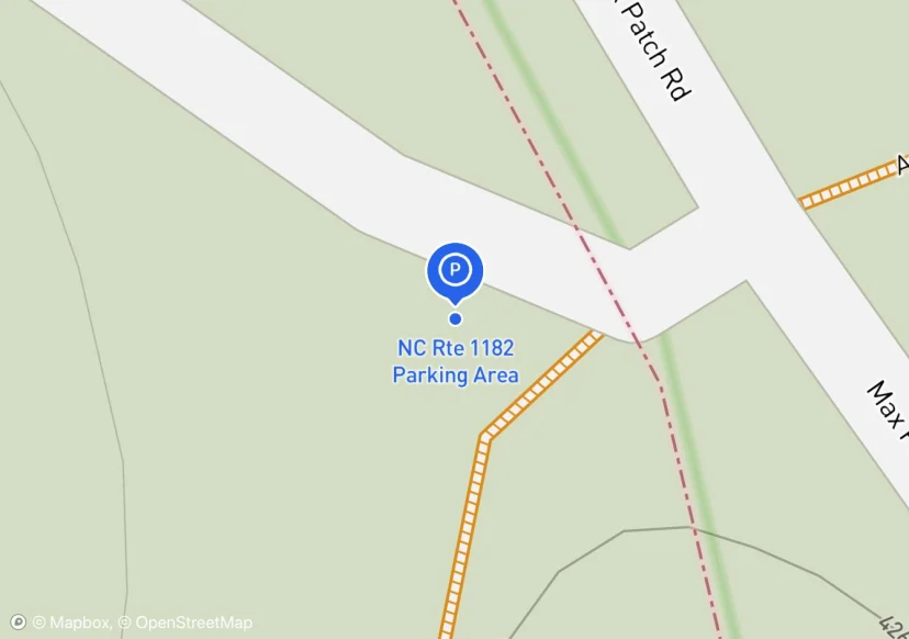
Max Patch (NC Rte 1182) Parking Area
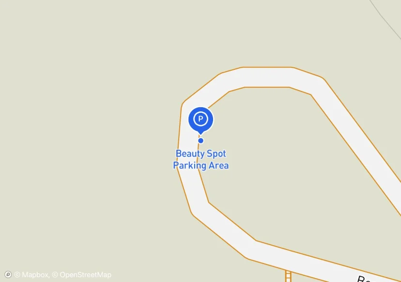
Beauty Spot Parking Area
Parking in circle drive. Outside perimeter has boulders buried in 190 linear ft of dirt 3 ft deep at max depth.
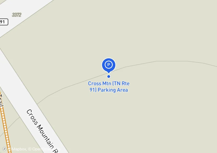
Cross Mtn (TN Rte 91) Parking Area

Woody Gap (GA Rte 60) Parking Area
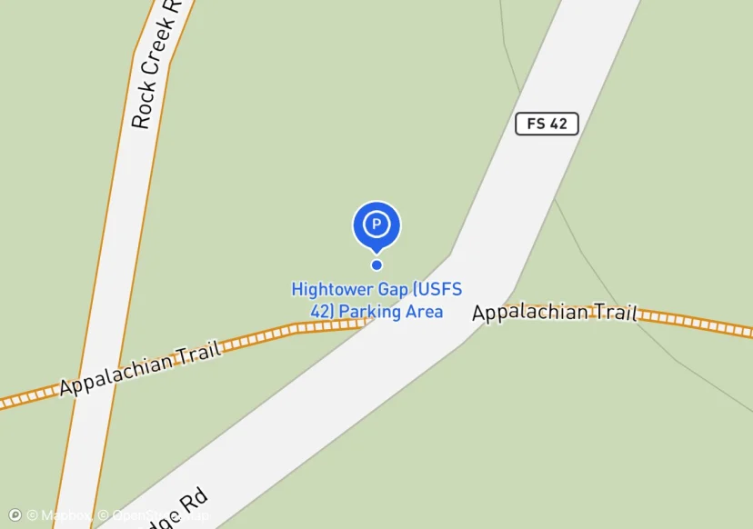
Hightower Gap (USFS 42) Parking Area
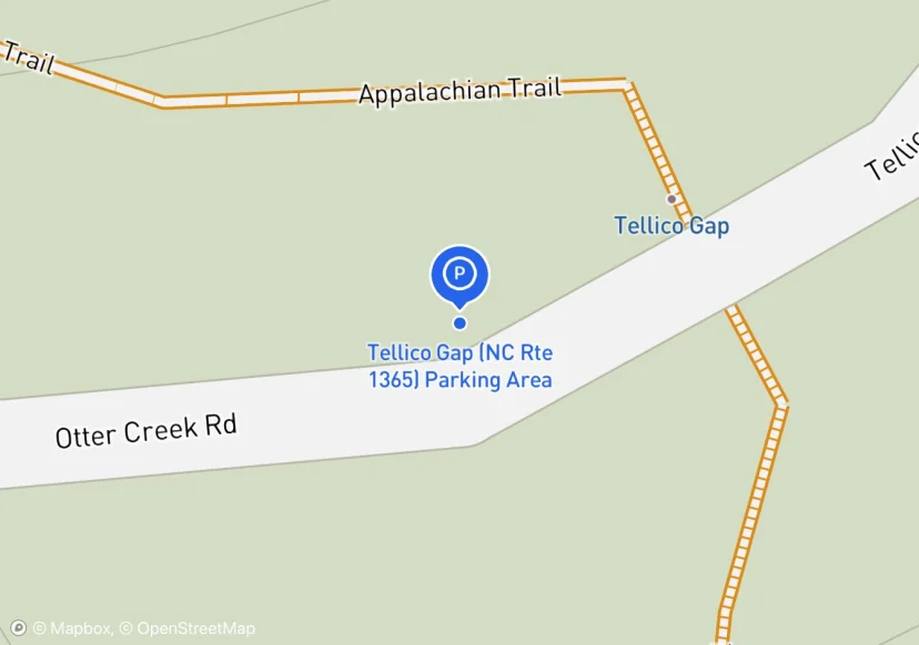
Tellico Gap (NC Rte 1365) Parking Area
retaining wall material is rail road ties
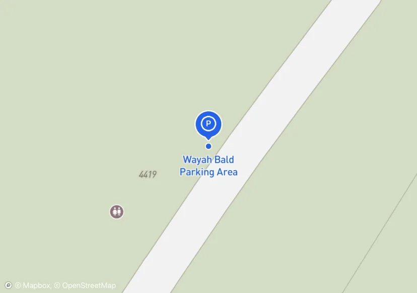
Wayah Bald Parking Area
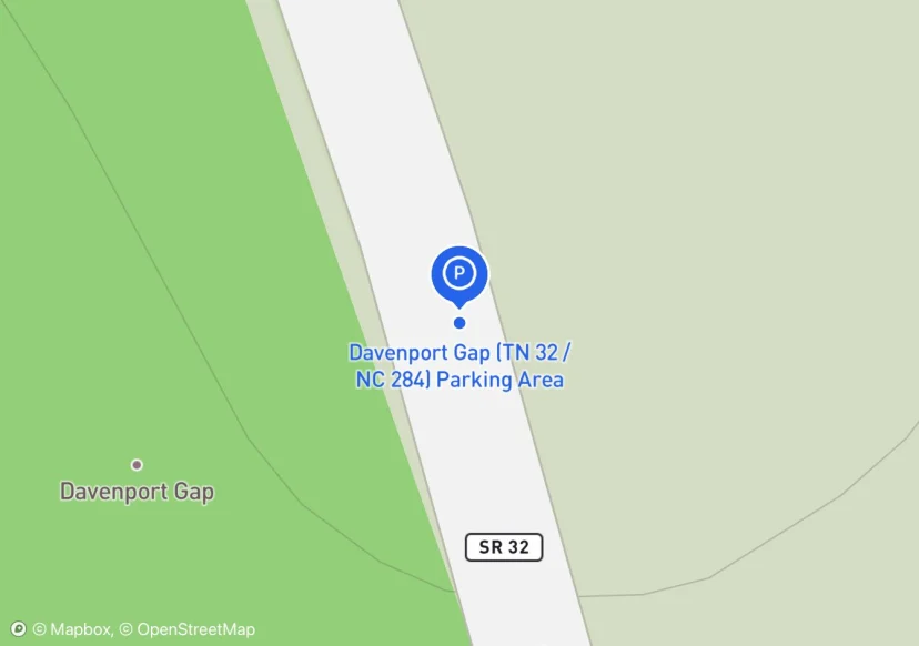
Davenport Gap (TN 32 / NC 284) Parking Area
May or may not qualify as roadside pull off
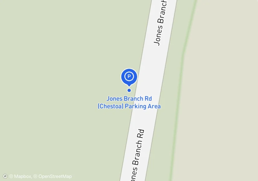
Jones Branch Rd (Chestoa) Parking Area
jones branch pull off
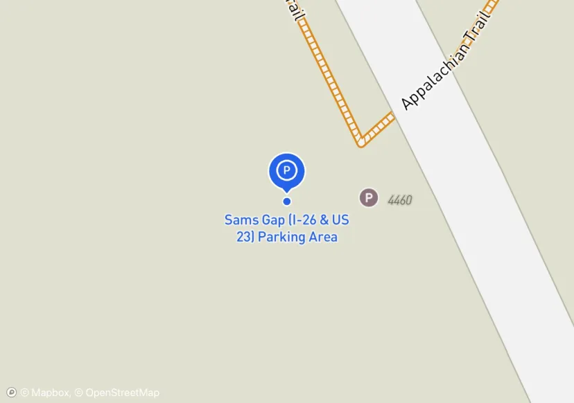
Sams Gap (I-26 & US 23) Parking Area
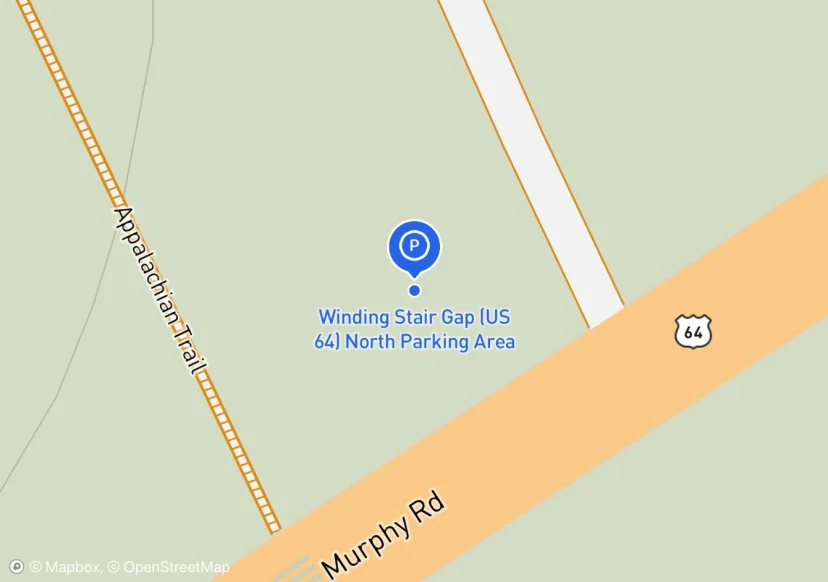
Winding Stair Gap (US 64) North Parking Area
Gate on Forest Service Road
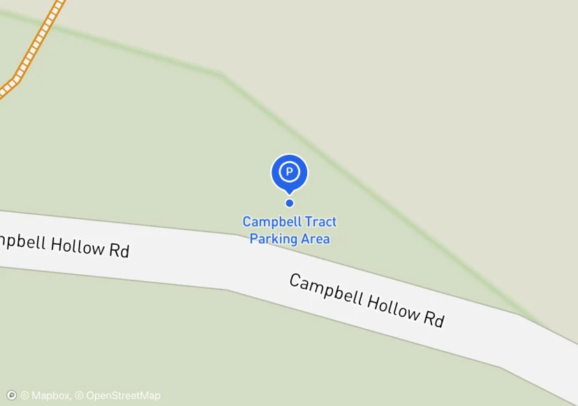
Campbell Tract Parking Area
Pull in at road off of Campbell Hollow Road. This is the only spot I saw to park. There is no wide spot on Campbell Hollow Road
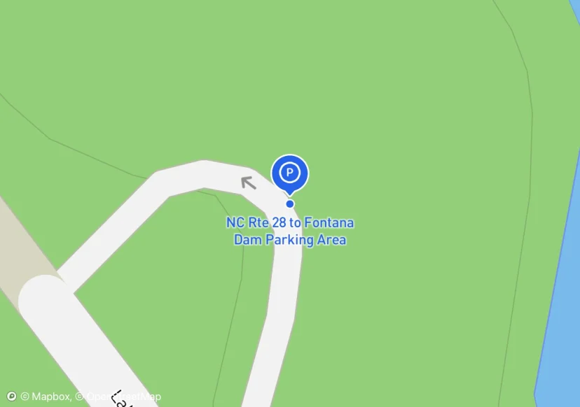
NC Rte 28 to Fontana Dam Parking Area
Not in collection list, but collected anyway
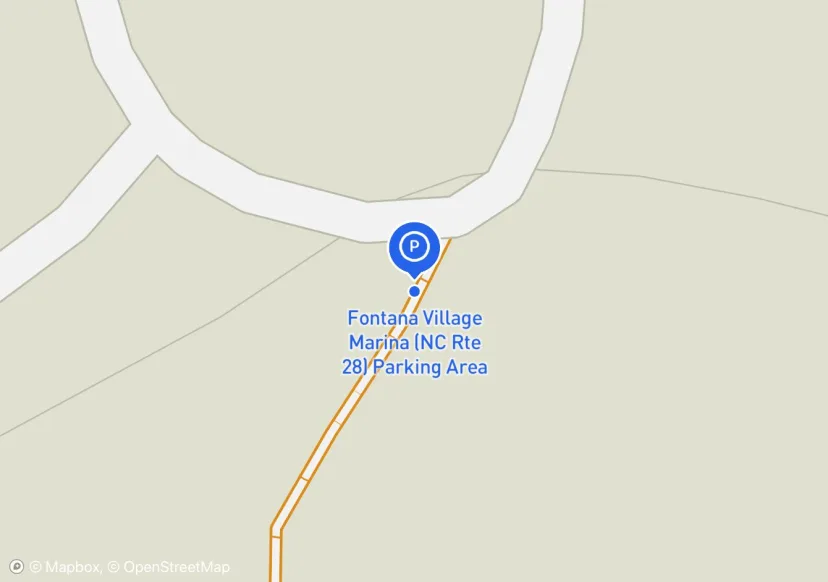
Fontana Village Marina (NC Rte 28) Parking Area
shared with Fontana Dam Marina
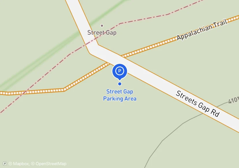
Street Gap Parking Area
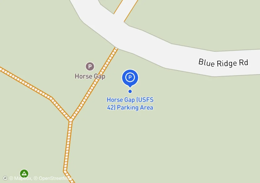
Horse Gap (USFS 42) Parking Area
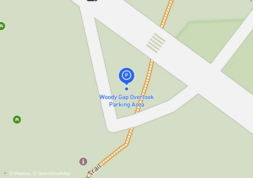
Woody Gap Overlook Parking Area
Not in collection material, but many people park here to hike on AT
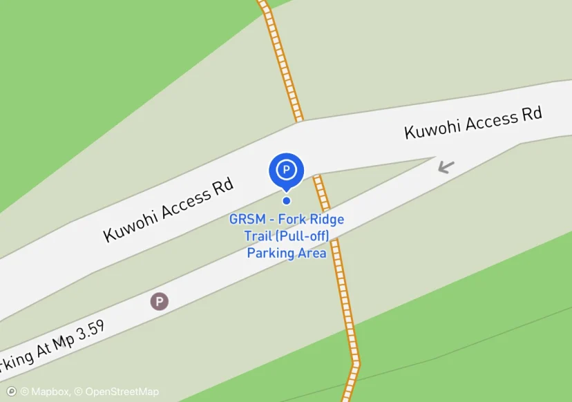
GRSM - Fork Ridge Trail (Pull-off) Parking Area
Has sign pointing to AT
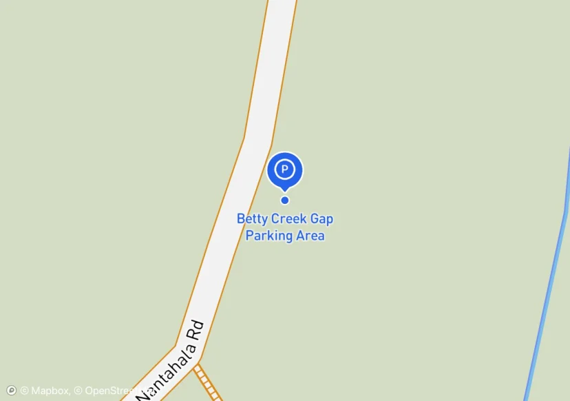
Betty Creek Gap Parking Area
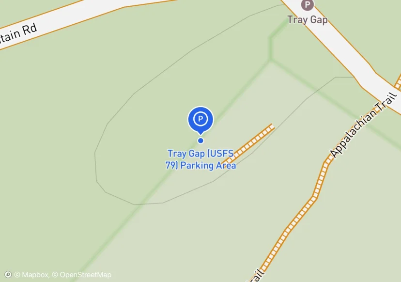
Tray Gap (USFS 79) Parking Area
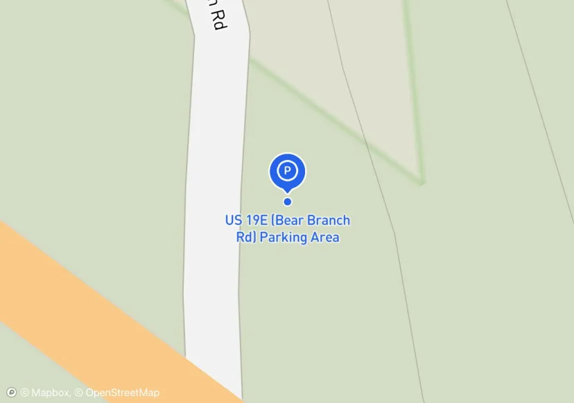
US 19E (Bear Branch Rd) Parking Area
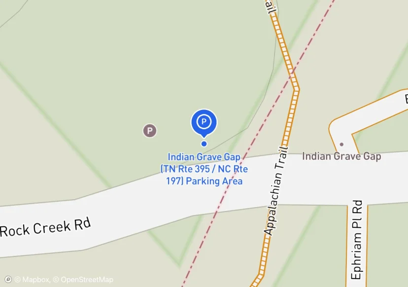
Indian Grave Gap (TN Rte 395 / NC Rte 197) Parking Area
Indian Grave Gap Parking
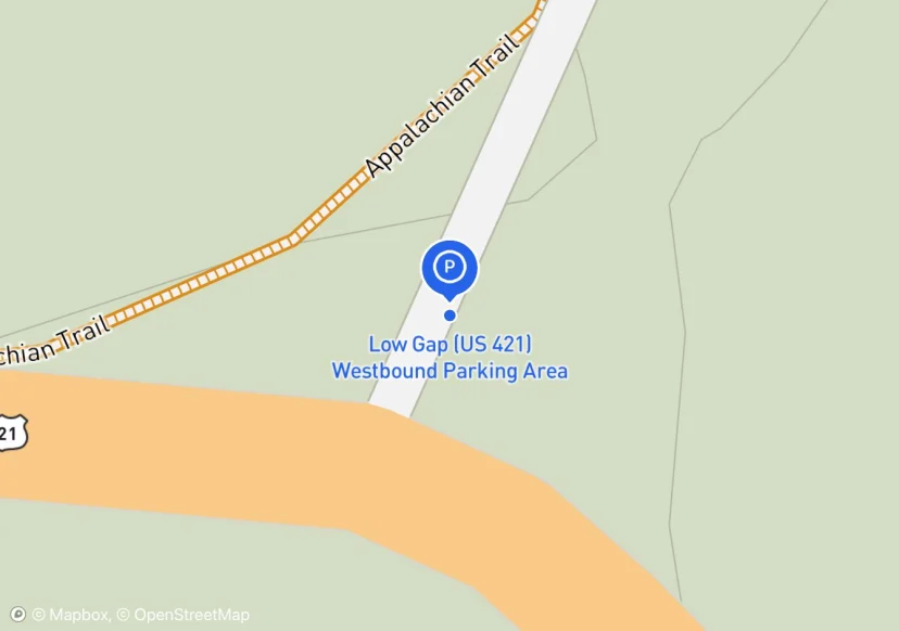
Low Gap (US 421) Westbound Parking Area

GRSM - Fontana Dam North Parking Area
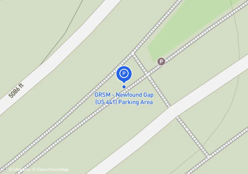
GRSM - Newfound Gap (US 441) Parking Area
None
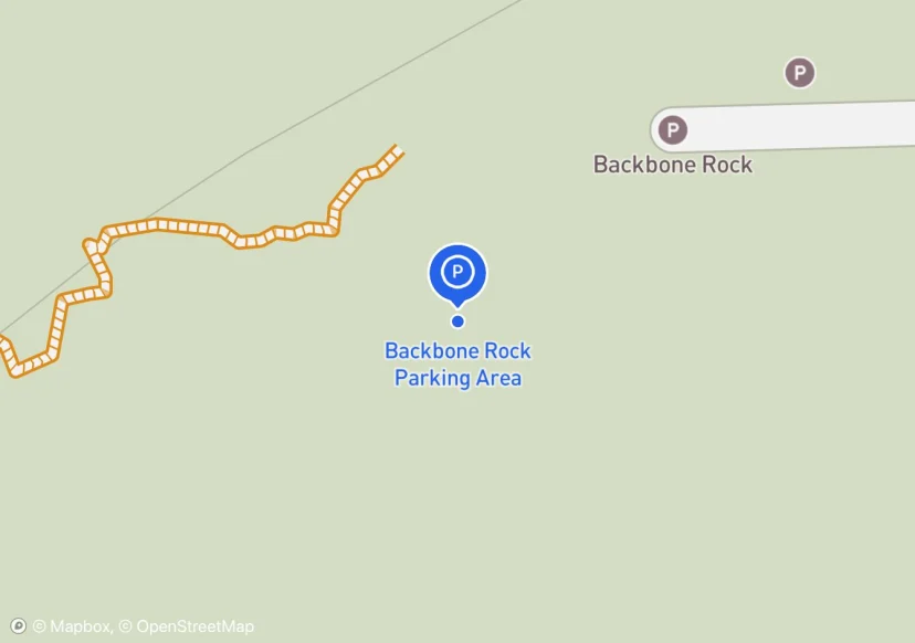
Backbone Rock Parking Area
Half snow covered but collected striping length under snow
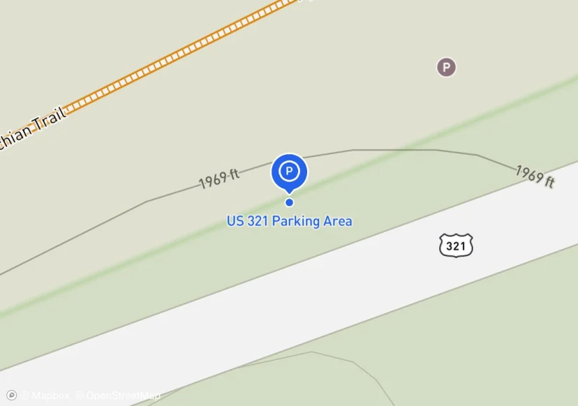
US 321 Parking Area
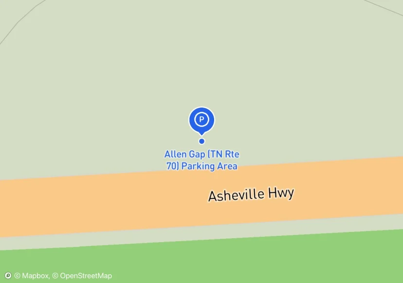
Allen Gap (TN Rte 70) Parking Area
Small Pull Off Parking Area
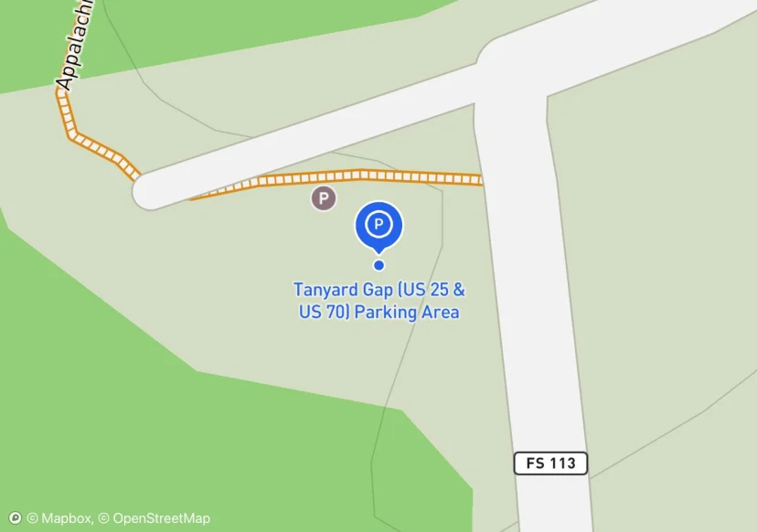
Tanyard Gap (US 25 & US 70) Parking Area
Washout around the perimeter of parking area.
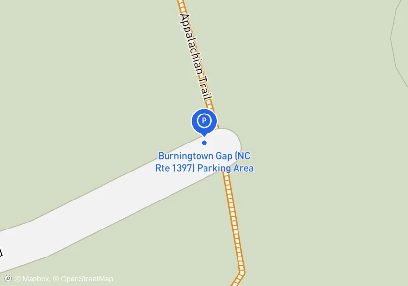
Burningtown Gap (NC Rte 1397) Parking Area
guide rail is railroad ties
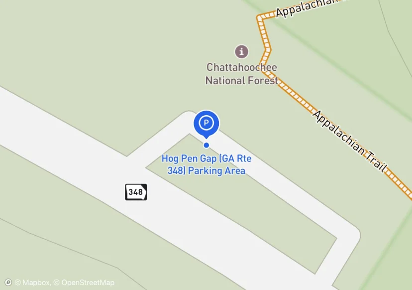
Hog Pen Gap (GA Rte 348) Parking Area
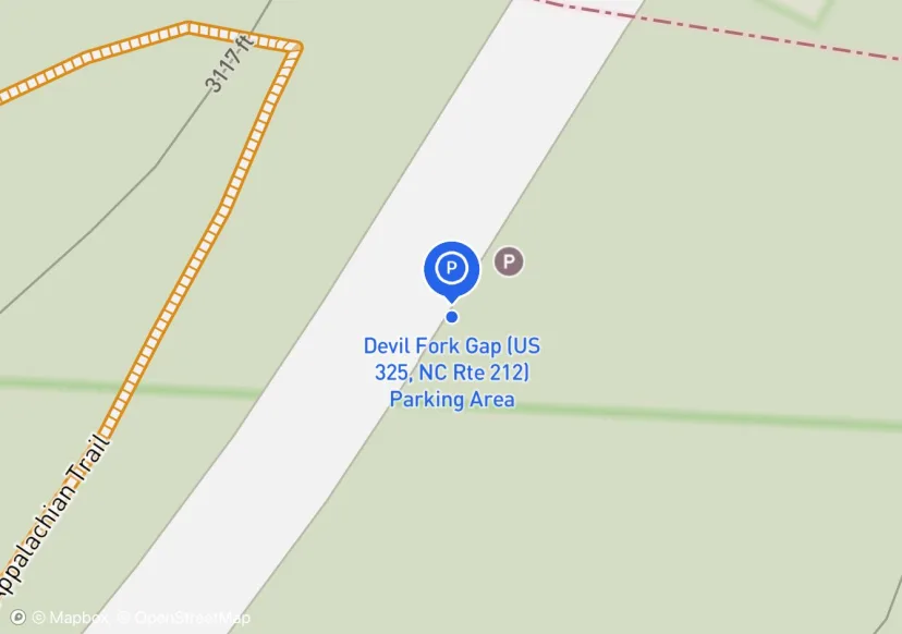
Devil Fork Gap (US 325, NC Rte 212) Parking Area
Fence is associated with adjacent pasture
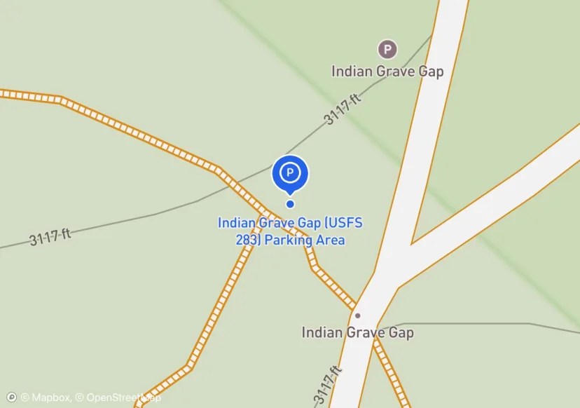
Indian Grave Gap (USFS 283) Parking Area
adjacent to andrews Cove trail intersection
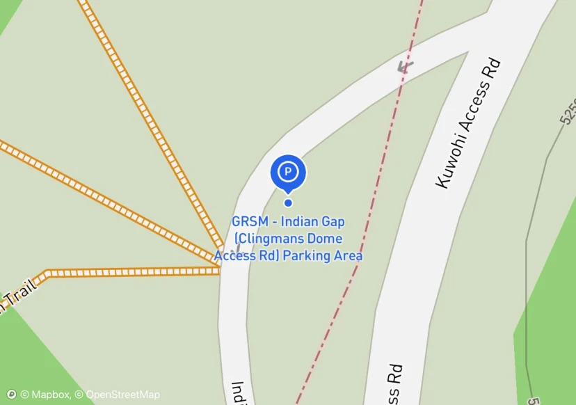
GRSM - Indian Gap (Clingmans Dome Access Rd) Parking Area
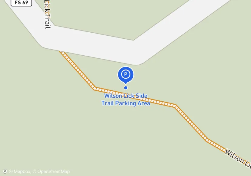
Wilson Lick Side Trail Parking Area
Should be named Wilson Lick Parking Area
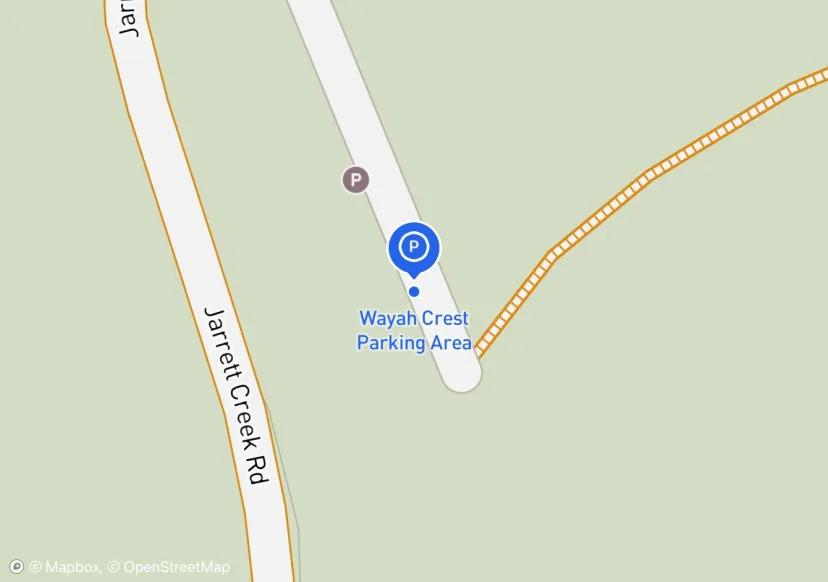
Wayah Crest Parking Area
Just off of Wayah Road (NC 1310). Picnic Area nearby.
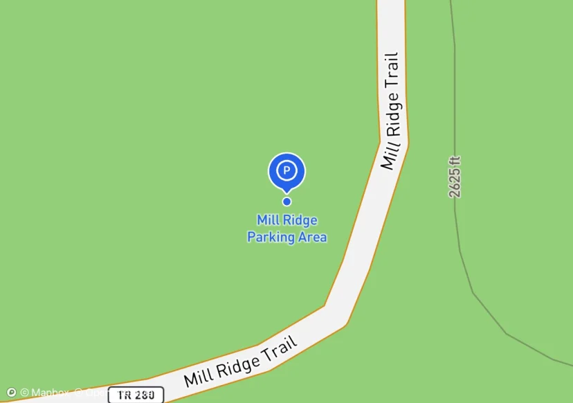
Mill Ridge Parking Area
Fence is dimensional lumber stained, 65' is an estimate. I measured 23' of fence but the rest was inaccessible due to blackberry thicket.
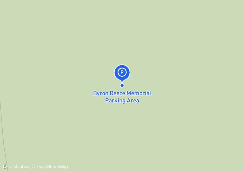
Byron Reece Memorial Parking Area
interesting design with the largest and most obvious space in the northern end tapering to the south with sporadic pull overs.
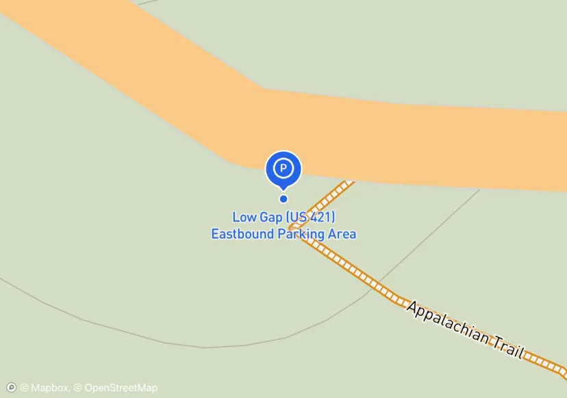
Low Gap (US 421) Eastbound Parking Area
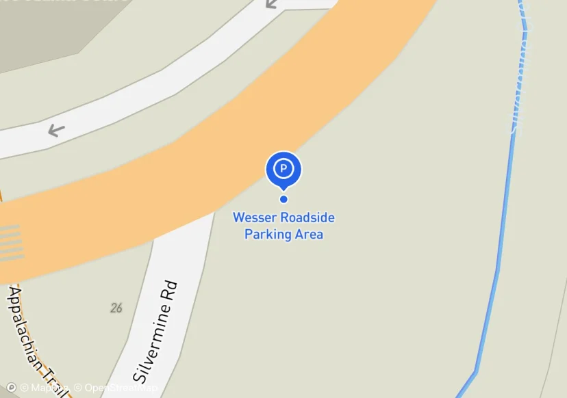
Wesser Roadside Parking Area
Roadside parking at junction of Silvermine Rd. and US-19 & US 74; Across the street from NOC
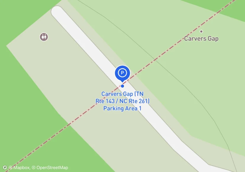
Carvers Gap (TN Rte 143 / NC Rte 261) Parking Area 1
Curb may be considered retaining wall 167 x1 see photos
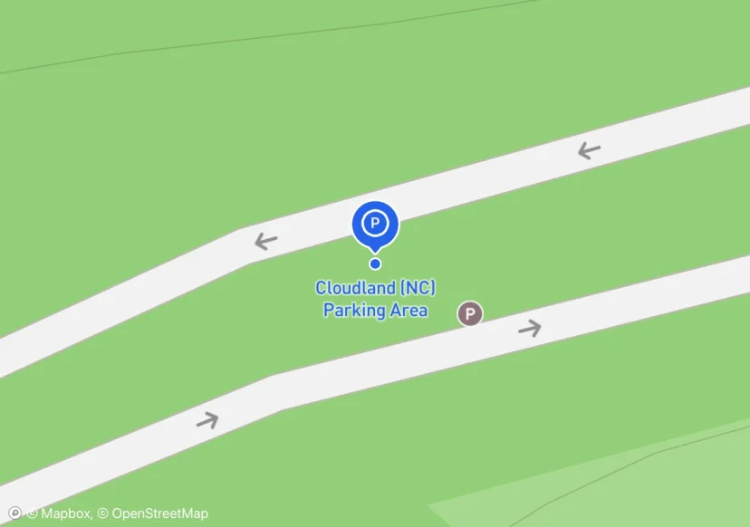
Cloudland (NC) Parking Area
Locust pole fencing

Taylors Valley Parking Area
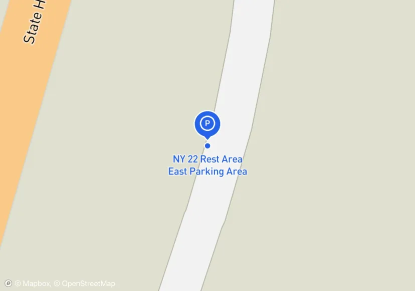
NY 22 Rest Area East Parking Area
Adjusted location based on Aerial Imagery
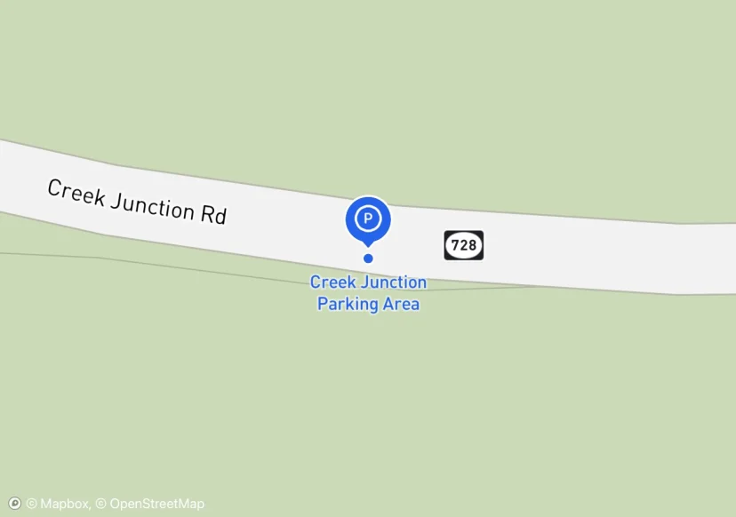
Creek Junction Parking Area
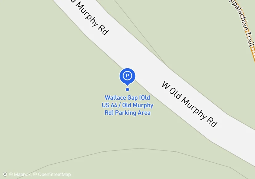
Wallace Gap (Old US 64 / Old Murphy Rd) Parking Area
adjacent to closed USFS road
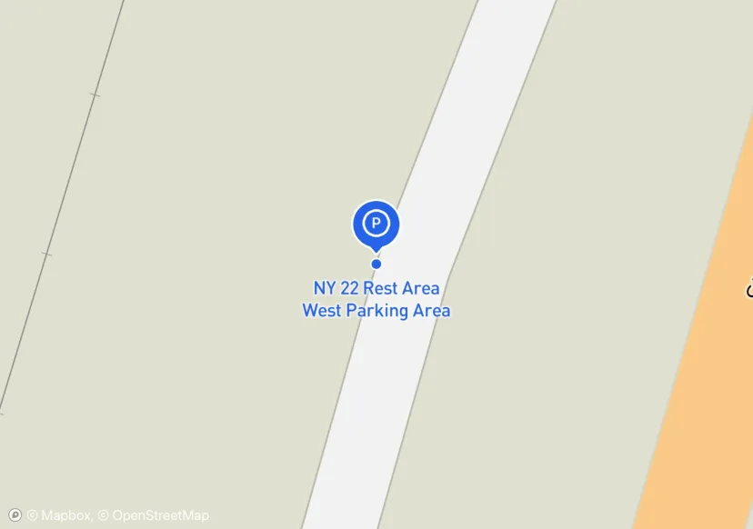
NY 22 Rest Area West Parking Area
Adjusted location based on Aerial Imagery
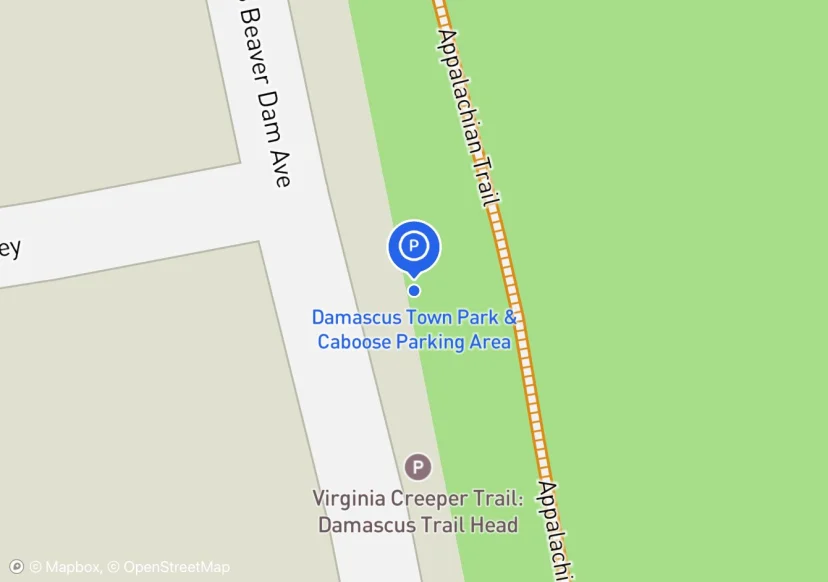
Damascus Town Park & Caboose Parking Area
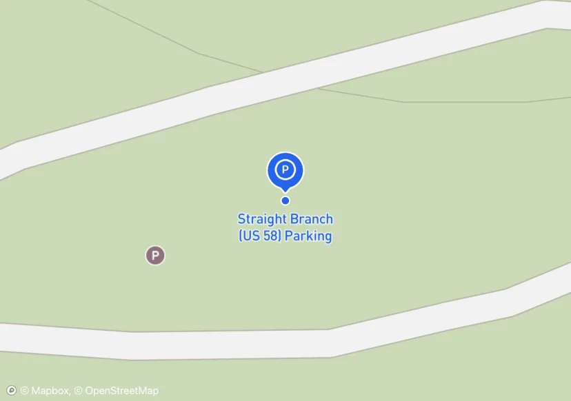
Straight Branch (US 58) Parking
wood with rebar bike rack
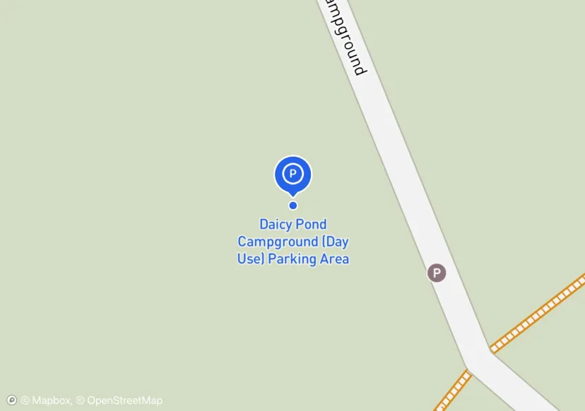
Daicy Pond Campground (Day Use) Parking Area
Added based on existing GIS data; Not sure if we should include in FMSS or not
BLRI - Floyd Field Access Parking Area
Hughes Gap Parking Area
Cove Creek Road; Pictures taken in dark, use old pictures from 100715_TEHCC_Hughes_Gap_to_Iron_Mountain_Gap
Fernside Jerusalem Rd Parking Area
Added based on existing GIS data; Not sure if we should include in FMSS or not
Abol Pine State Campground Parking Area
Digtized Location based on 2014 Road Inventory Assessment; Added based on existing GIS data; Not sure if we should include in FMSS or not
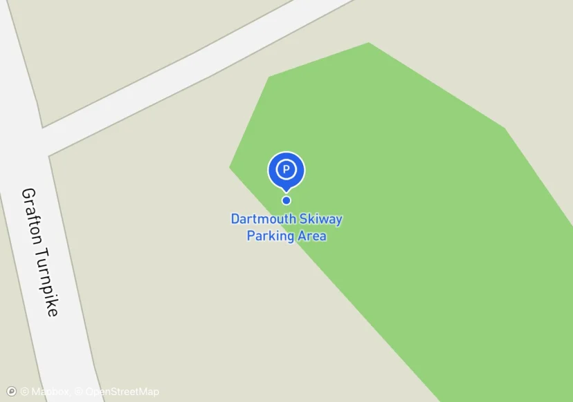
Dartmouth Skiway Parking Area
private property; Added based on existing GIS data; Not sure if we should include in FMSS or not
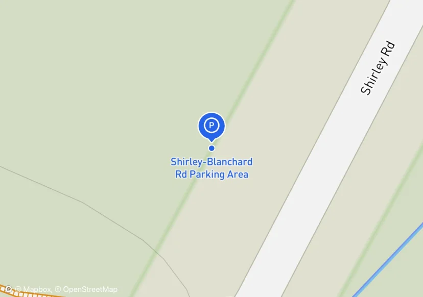
Shirley-Blanchard Rd Parking Area
Added based on existing GIS data; Not sure if we should include in FMSS or not
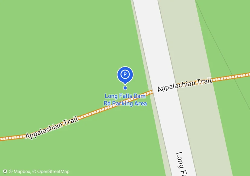
Long Falls Dam Rd Parking Area
Digtized Location based on 2014 Road Inventory Assessment; Added based on existing GIS data; Not sure if we should include in FMSS or not

Cloudland (VT) Parking Area
Added based on existing GIS data; Not sure if we should include in FMSS or not
Webster Rd Parking Area
moderately improved; Added based on existing GIS data; Not sure if we should include in FMSS or not
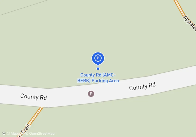
County Rd (AMC-BERK) Parking Area
Added based on existing GIS data; Not sure if we should include in FMSS or not
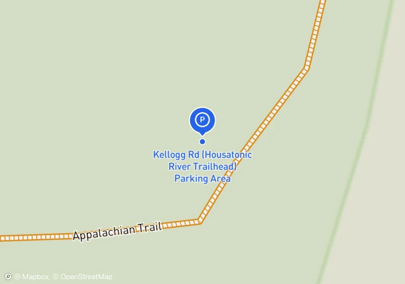
Kellogg Rd (Housatonic River Trailhead) Parking Area
AT parking and canoe launch; Added based on existing GIS data; Not sure if we should include in FMSS or not
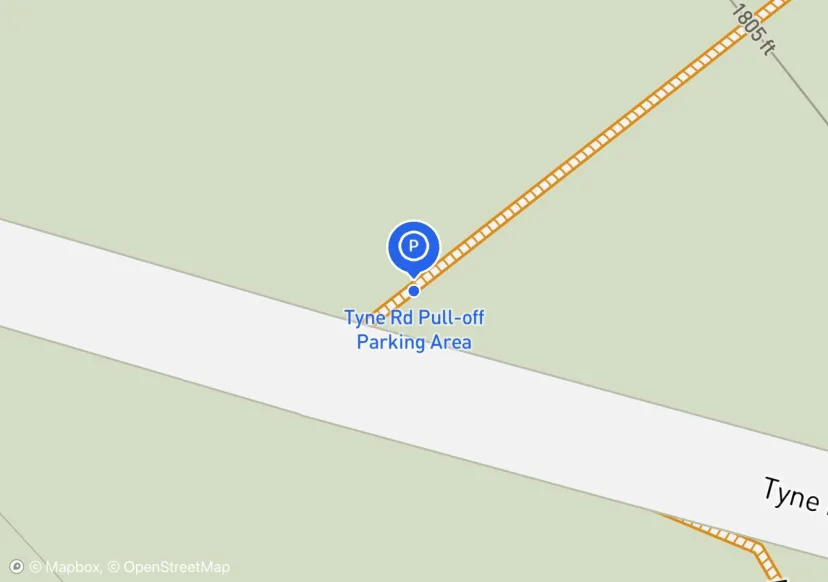
Tyne Rd Pull-off Parking Area
Added based on existing GIS data; Not sure if we should include in FMSS or not
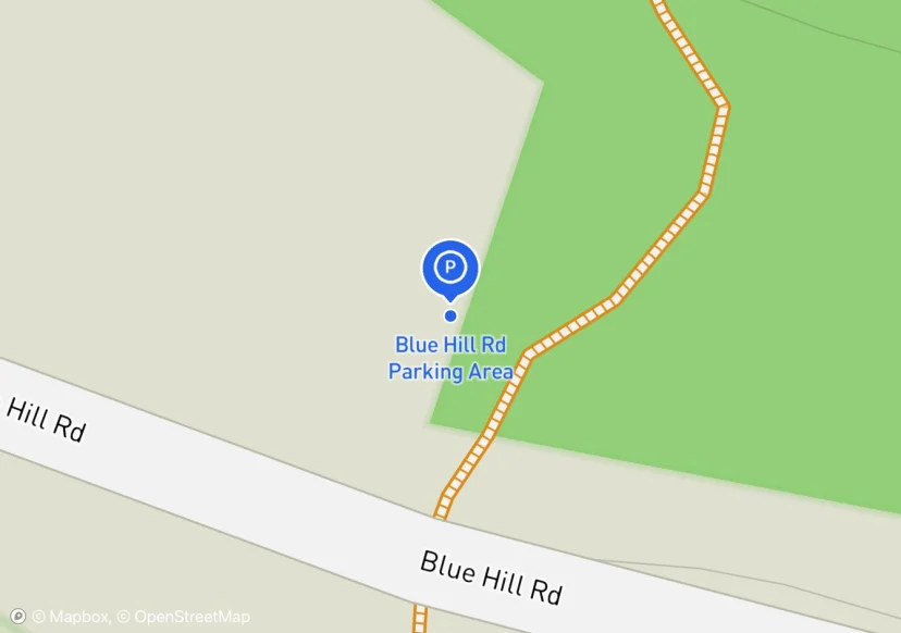
Blue Hill Rd Parking Area
additional shoulder parking possible; Added based on existing GIS data; Not sure if we should include in FMSS or not
Jug End Rd Parking Area
plenty of other roadside parking around; Added based on existing GIS data; Not sure if we should include in FMSS or not
West Cornwall Rd Parking Area
Added based on existing GIS data; Not sure if we should include in FMSS or not
Homes Rd Parking Area
Added based on existing GIS data; Not sure if we should include in FMSS or not
CT Rte 341 (Macedonia Rd) Parking Area
Added based on existing GIS data; Not sure if we should include in FMSS or not
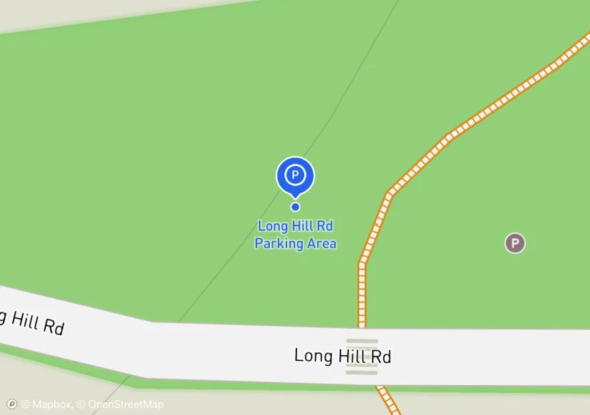
Long Hill Rd Parking Area
Added based on existing GIS data; Not sure if we should include in FMSS or not
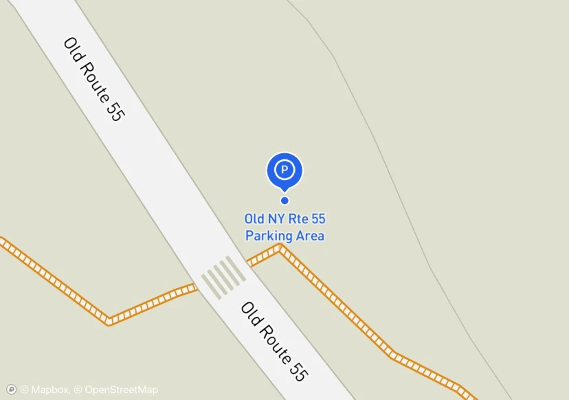
Old NY Rte 55 Parking Area
Added based on existing GIS data; Not sure if we should include in FMSS or not
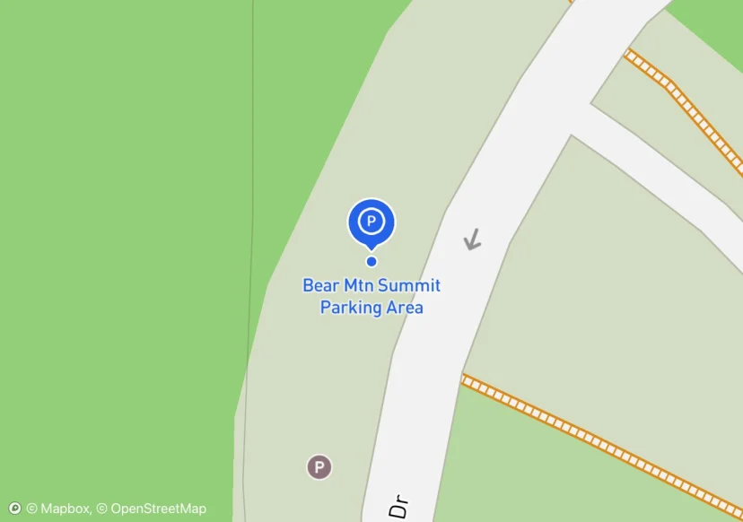
Bear Mtn Summit Parking Area
Added based on existing GIS data; Not sure if we should include in FMSS or not; Adjusted based on Aerial Imagery
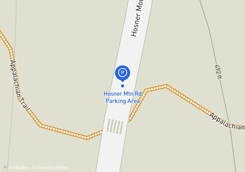
Hosner Mtn Rd Parking Area
Added based on existing GIS data; Not sure if we should include in FMSS or not
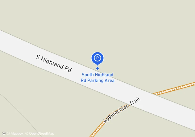
South Highland Rd Parking Area
Added based on existing GIS data; Not sure if we should include in FMSS or not
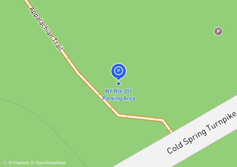
NY Rte 301 Parking Area
Added based on existing GIS data; Not sure if we should include in FMSS or not
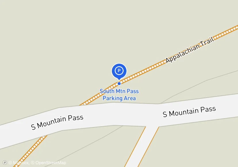
South Mtn Pass Parking Area
Added based on existing GIS data; Not sure if we should include in FMSS or not
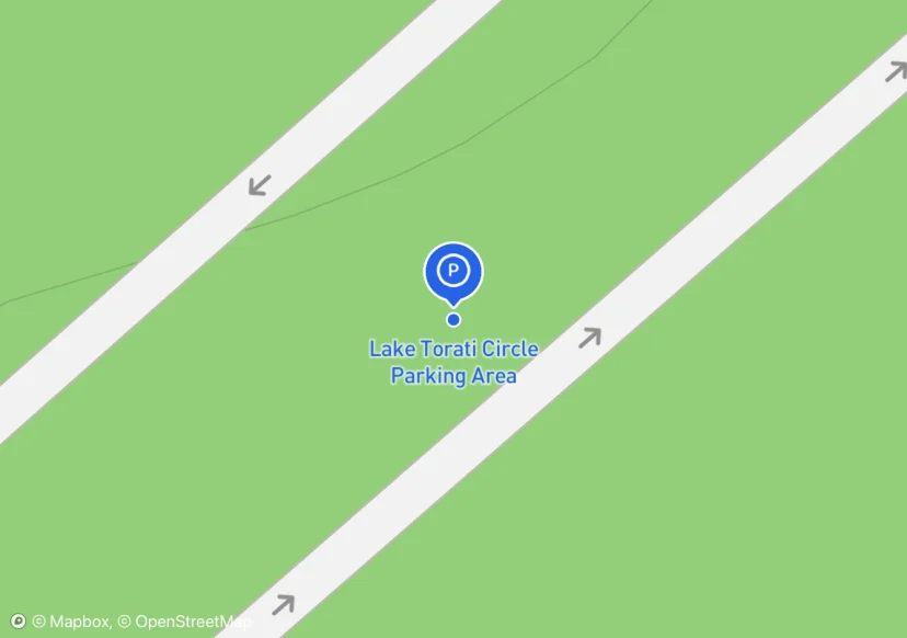
Lake Torati Circle Parking Area
Digtized Location based on 2014 Road Inventory Assessment; Added based on existing GIS data; Not sure if we should include in FMSS or not
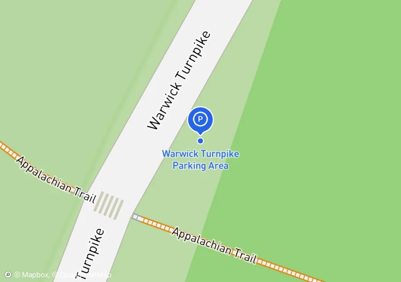
Warwick Turnpike Parking Area
Added based on existing GIS data; Not sure if we should include in FMSS or not

East Mombasha Rd Parking Area
Added based on existing GIS data; Not sure if we should include in FMSS or not
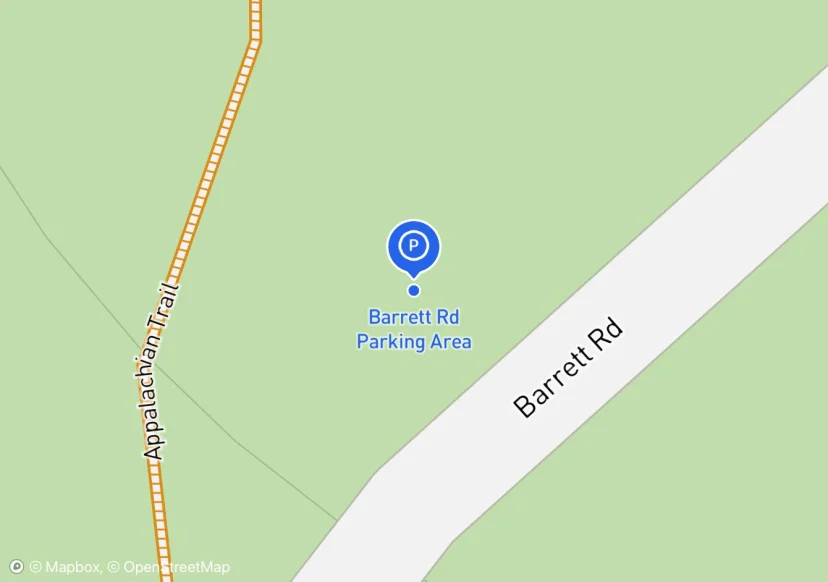
Barrett Rd Parking Area
Added based on existing GIS data; Not sure if we should include in FMSS or not
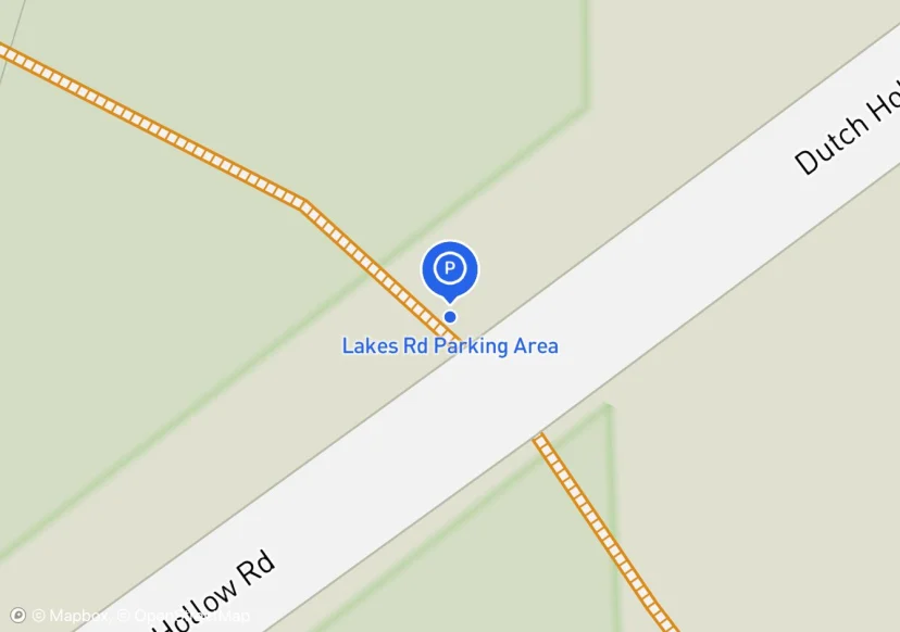
Lakes Rd Parking Area
Added based on existing GIS data; Not sure if we should include in FMSS or not
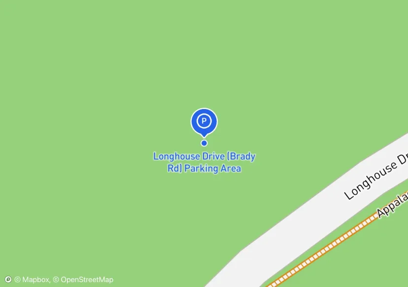
Longhouse Drive (Brady Rd) Parking Area
Added based on existing GIS data; Not sure if we should include in FMSS or not
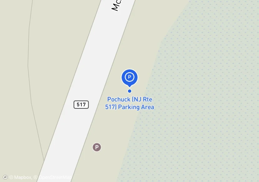
Pochuck (NJ Rte 517) Parking Area
Digtized Location based on 2014 Road Inventory Assessment; Added based on existing GIS data; Not sure if we should include in FMSS or not
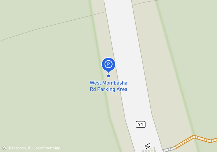
West Mombasha Rd Parking Area
Added based on existing GIS data; Not sure if we should include in FMSS or not
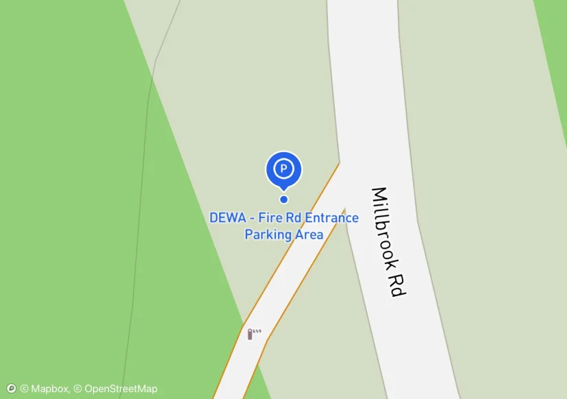
DEWA - Fire Rd Entrance Parking Area
Added based on existing GIS data; Not sure if we should include in FMSS or not
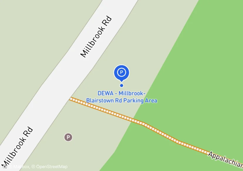
DEWA - Millbrook-Blairstown Rd Parking Area
Added based on existing GIS data; Not sure if we should include in FMSS or not
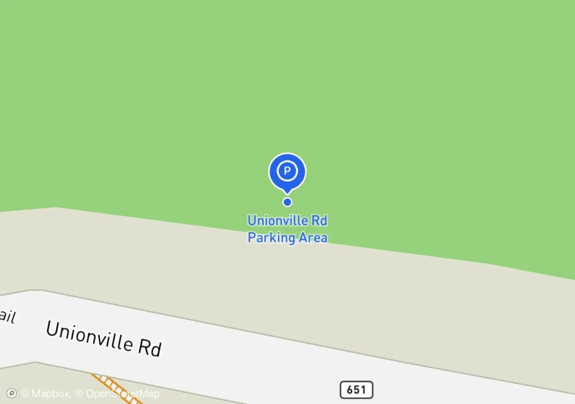
Unionville Rd Parking Area
Added based on existing GIS data; Not sure if we should include in FMSS or not
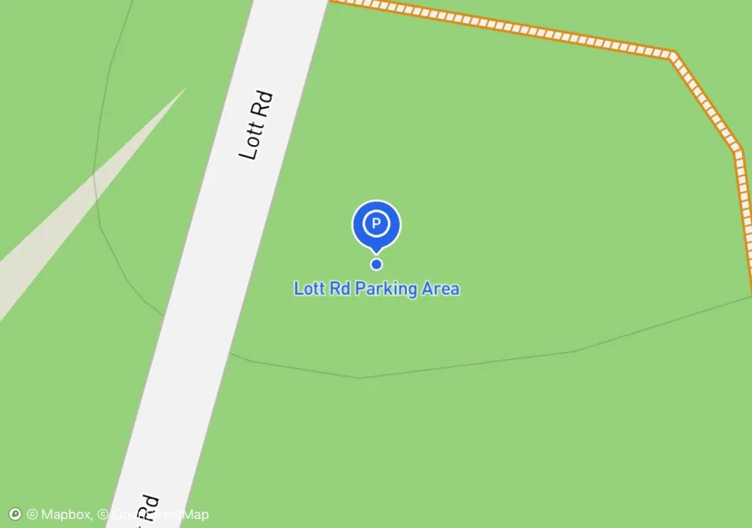
Lott Rd Parking Area
Added based on existing GIS data; Not sure if we should include in FMSS or not
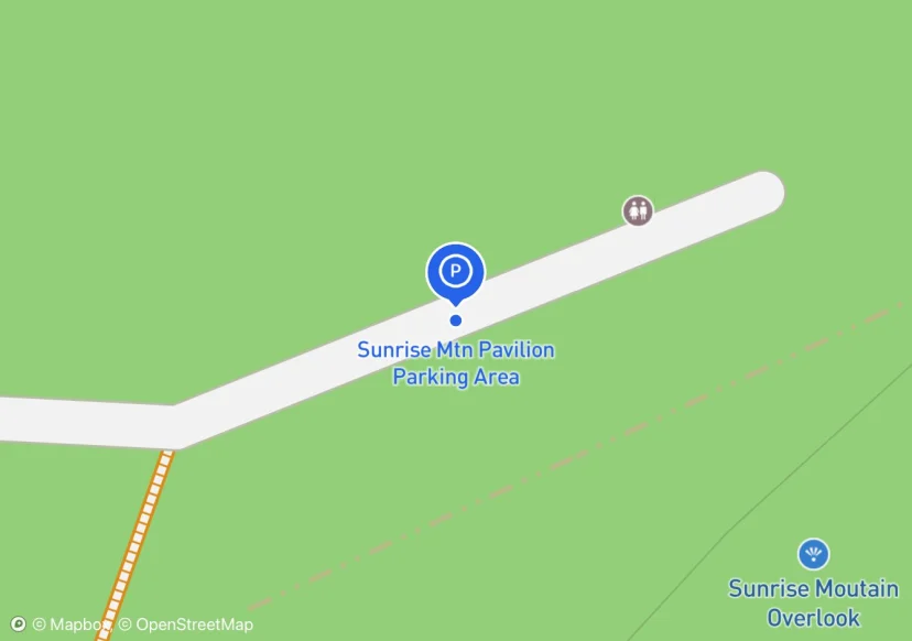
Sunrise Mtn Pavilion Parking Area
no overnight parking; Added based on existing GIS data; Not sure if we should include in FMSS or not
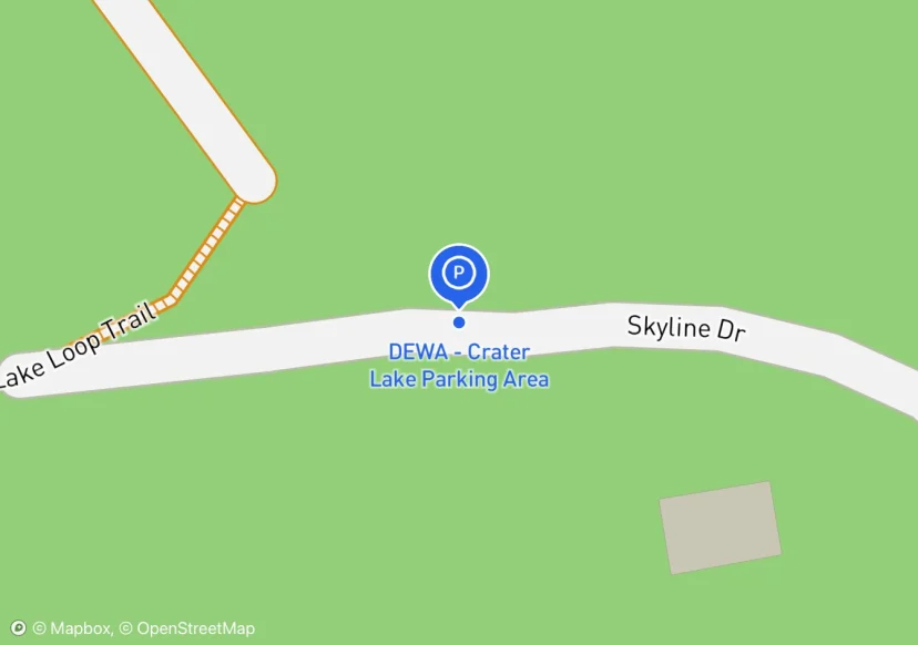
DEWA - Crater Lake Parking Area
Digtized Location based on 2014 Road Inventory Assessment; Added based on existing GIS data; Not sure if we should include in FMSS or not
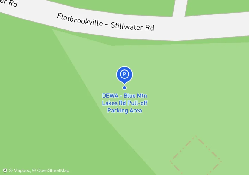
DEWA - Blue Mtn Lakes Rd Pull-off Parking Area
Added based on existing GIS data; Not sure if we should include in FMSS or not
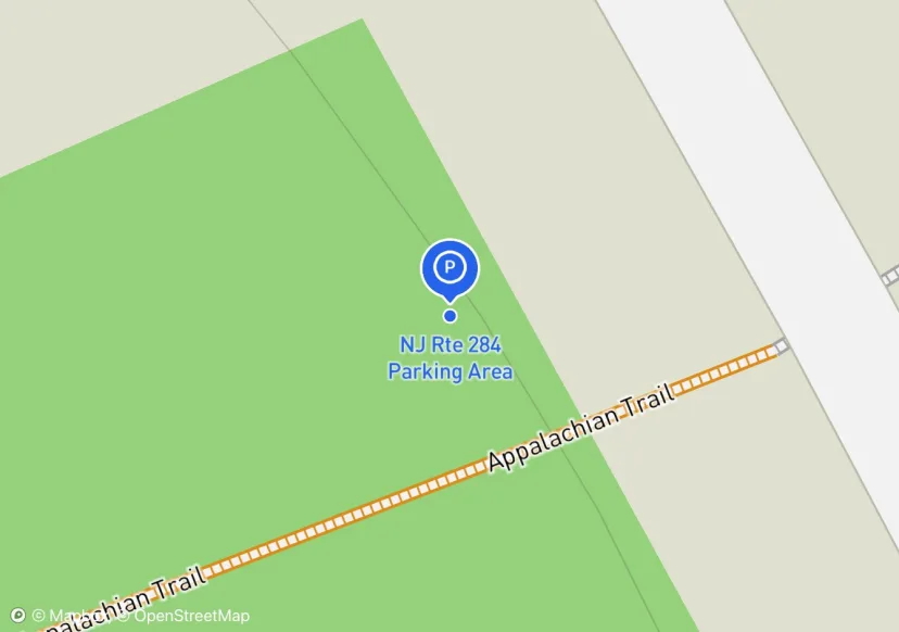
NJ Rte 284 Parking Area
Added based on existing GIS data; Not sure if we should include in FMSS or not
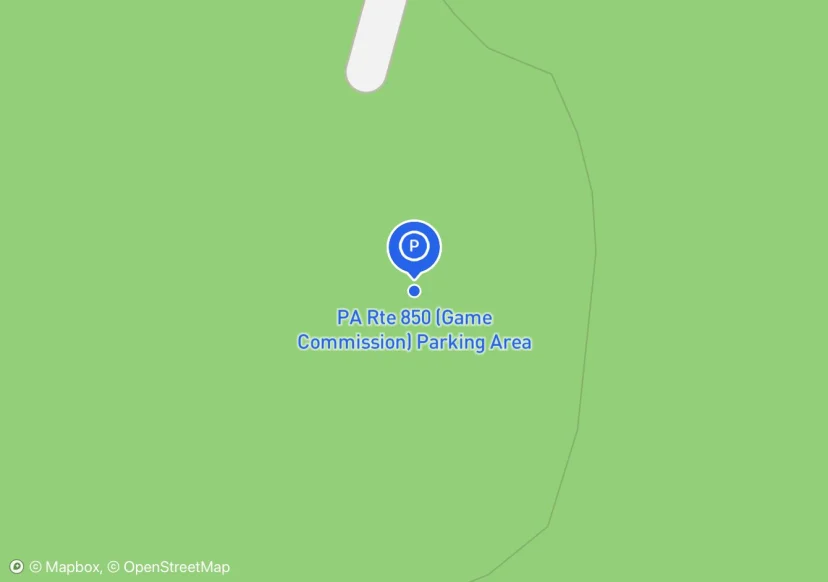
PA Rte 850 (Game Commission) Parking Area
Digtized Location based on 2014 Road Inventory Assessment; Added based on existing GIS data; Not sure if we should include in FMSS or not
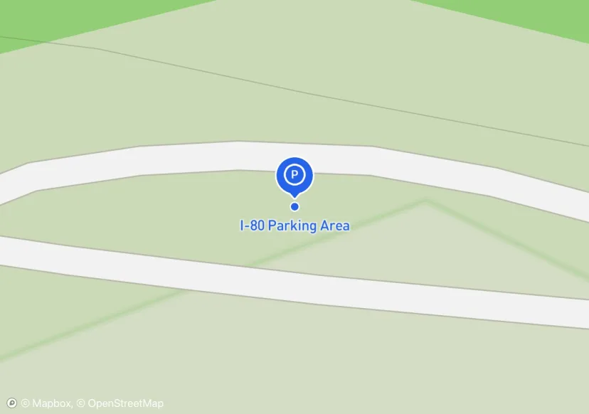
I-80 Parking Area
Added based on existing GIS data; Not sure if we should include in FMSS or not
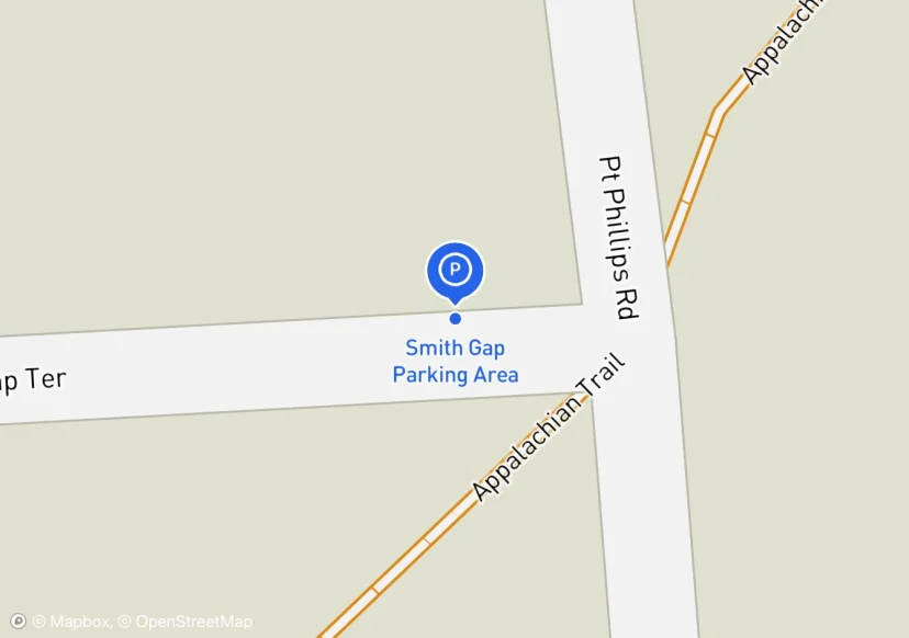
Smith Gap Parking Area
Added based on existing GIS data; Not sure if we should include in FMSS or not
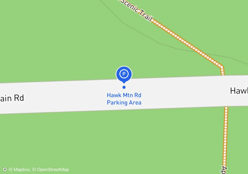
Hawk Mtn Rd Parking Area
Added based on existing GIS data; Not sure if we should include in FMSS or not
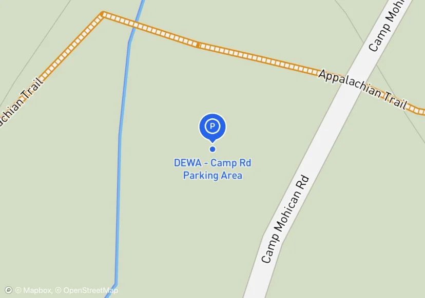
DEWA - Camp Rd Parking Area
Digtized Location based on 2014 Road Inventory Assessment; Added based on existing GIS data; Not sure if we should include in FMSS or not
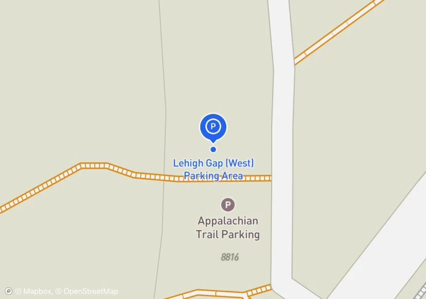
Lehigh Gap (West) Parking Area
Poor site distance. Close this lot?
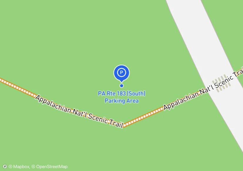
PA Rte 183 (South) Parking Area
Parking in front of gate prohibited - fire lane.; Added based on existing GIS data; Not sure if we should include in FMSS or not
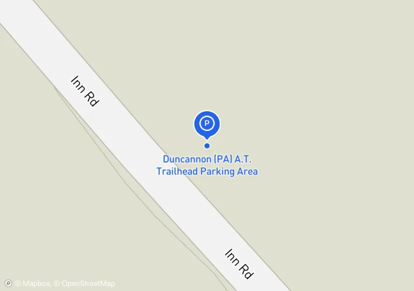
Duncannon (PA) A.T. Trailhead Parking Area
Update 05-07-17: Parking Area added. Information submitted via Parking Area Update Form dated 05-07-2017 by Peter Johnson; Added based on Inventory Form
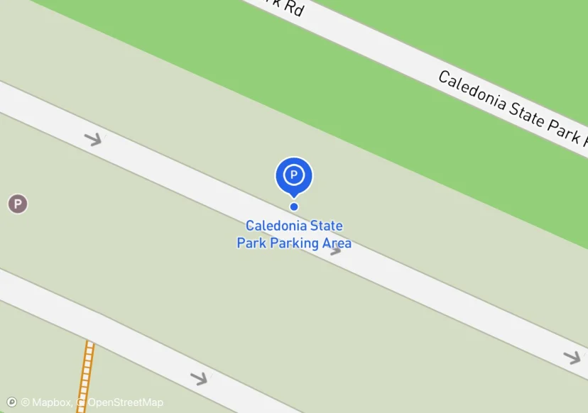
Caledonia State Park Parking Area
water spigot, many amenities; Added based on existing GIS data; Not sure if we should include in FMSS or not
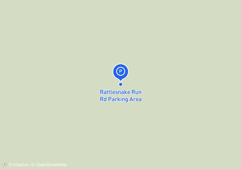
Rattlesnake Run Rd Parking Area
Added based on existing GIS data; Not sure if we should include in FMSS or not
Pine Grove Furnace State Park Parking Area 1
water spigot, interpretive sign, iron furnace; permit is required from Park Office; Added based on existing GIS data; Not sure if we should include in FMSS or not
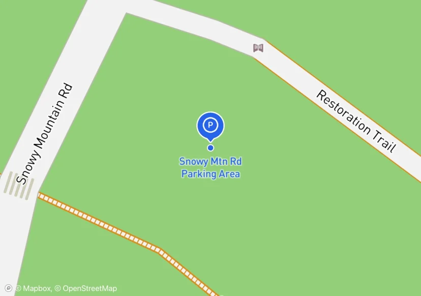
Snowy Mtn Rd Parking Area
Added based on existing GIS data; Not sure if we should include in FMSS or not

PA Rte 233 Parking Area
poor site distance; Added based on existing GIS data; Not sure if we should include in FMSS or not
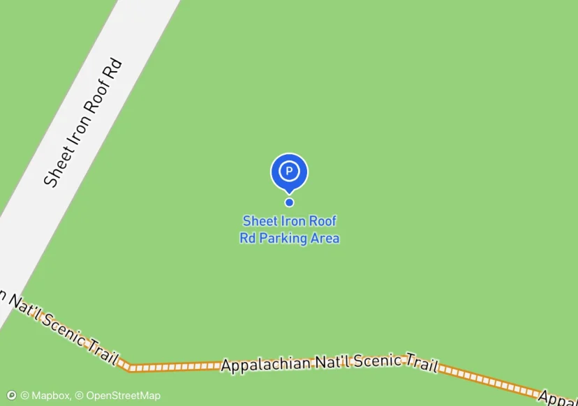
Sheet Iron Roof Rd Parking Area
Added based on existing GIS data; Not sure if we should include in FMSS or not
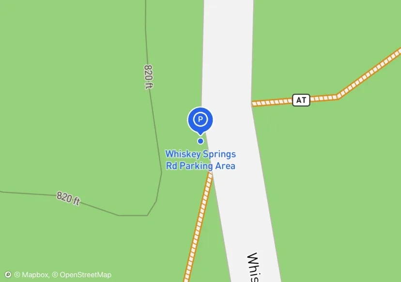
Whiskey Springs Rd Parking Area
Added based on existing GIS data; Not sure if we should include in FMSS or not
Pine Grove Furnace State Park Parking Area 2
All owned by Pine Grove Furnace State Park; permit is required from Park Office; Added based on existing GIS data; Not sure if we should include in FMSS or not
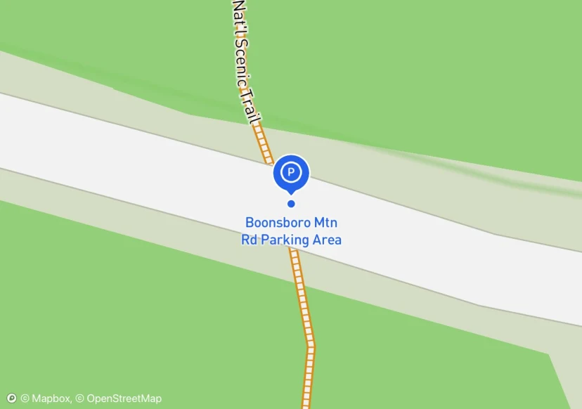
Boonsboro Mtn Rd Parking Area
Added based on existing GIS data; Not sure if we should include in FMSS or not
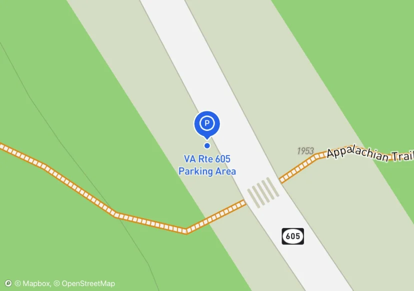
VA Rte 605 Parking Area
Digtized Location based on 2014 Road Inventory Assessment; Added based on existing GIS data; Not sure if we should include in FMSS or not
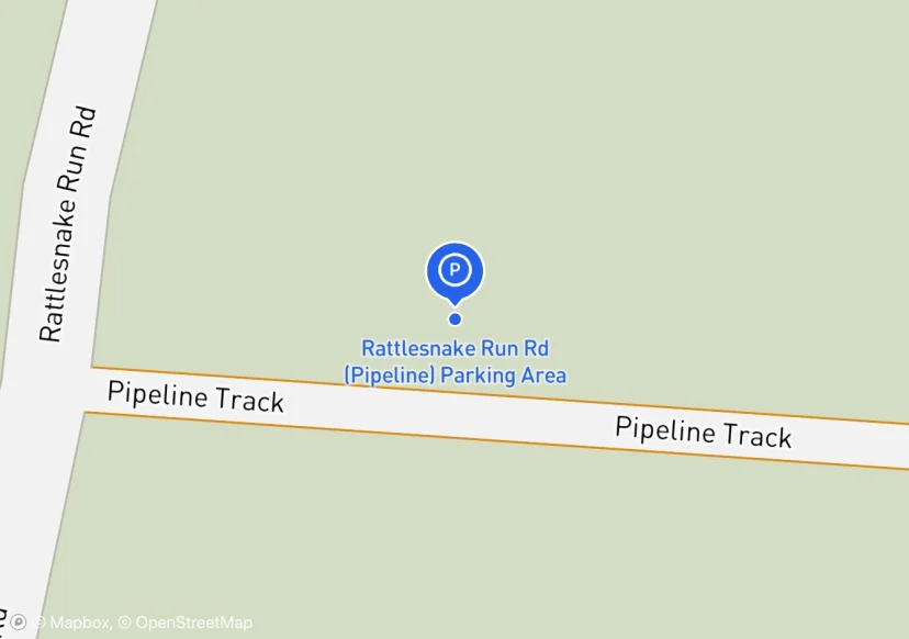
Rattlesnake Run Rd (Pipeline) Parking Area
Added based on existing GIS data; Not sure if we should include in FMSS or not
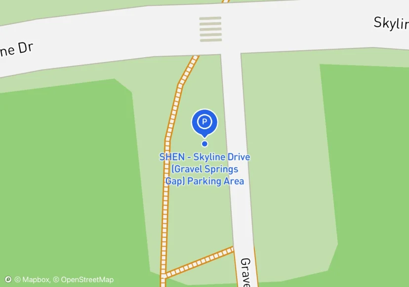
SHEN - Skyline Drive (Gravel Springs Gap) Parking Area
Added based on existing GIS data; Not sure if we should include in FMSS or not
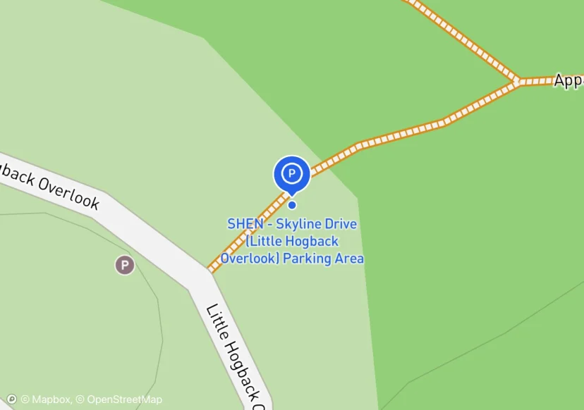
SHEN - Skyline Drive (Little Hogback Overlook) Parking Area
Added based on existing GIS data; Not sure if we should include in FMSS or not
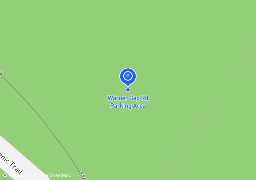
Warner Gap Rd Parking Area
There are two to three of these shoulder side parking spots along this road.; Added based on existing GIS data; Not sure if we should include in FMSS or not
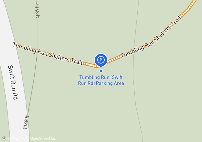
Tumbling Run (Swift Run Rd) Parking Area
some people use this to get to Tumbling Run Shelter quickly; Added based on existing GIS data; Not sure if we should include in FMSS or not
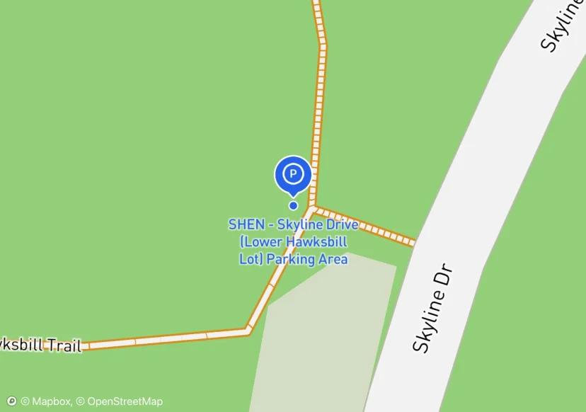
SHEN - Skyline Drive (Lower Hawksbill Lot) Parking Area
Added based on existing GIS data; Not sure if we should include in FMSS or not
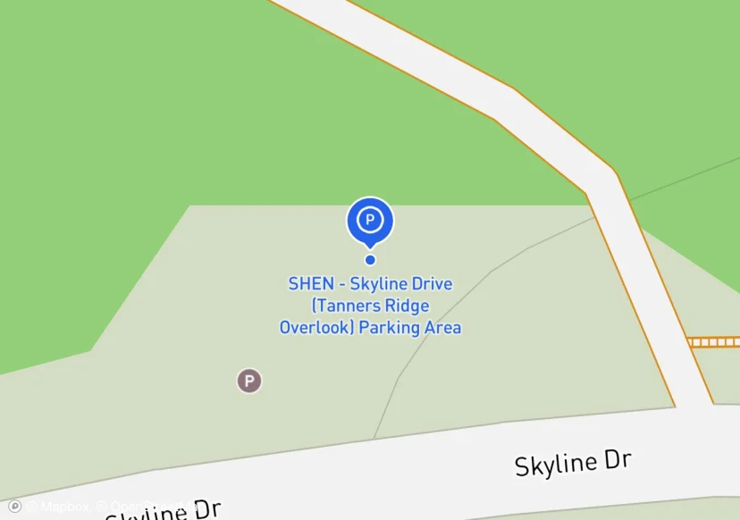
SHEN - Skyline Drive (Tanners Ridge Overlook) Parking Area
gate on adjacent admin road; Added based on existing GIS data; Not sure if we should include in FMSS or not
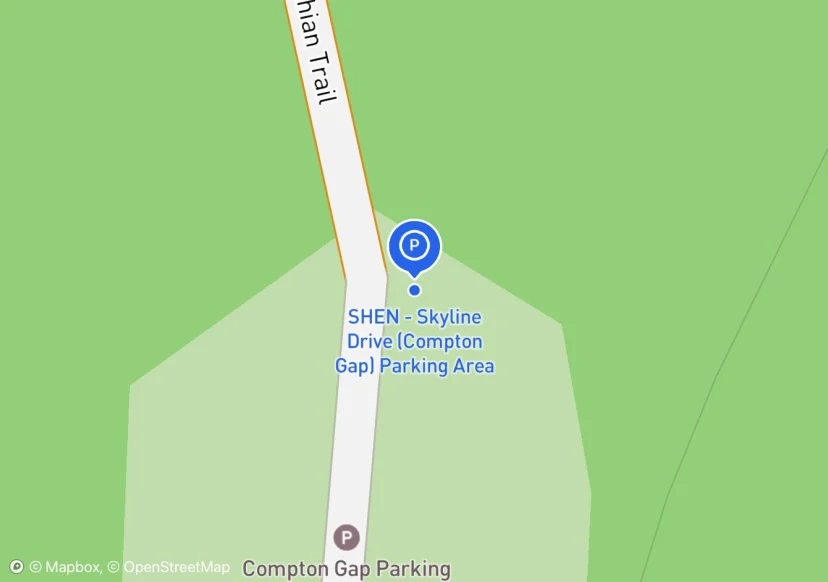
SHEN - Skyline Drive (Compton Gap) Parking Area
Added based on existing GIS data; Not sure if we should include in FMSS or not
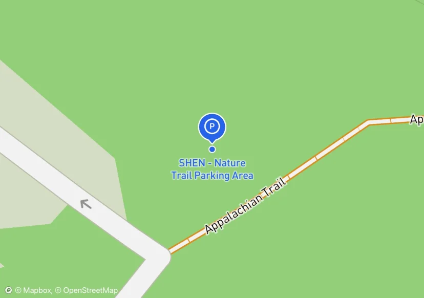
SHEN - Nature Trail Parking Area
Gate across road that leads to parking lot; Added based on existing GIS data; Not sure if we should include in FMSS or not
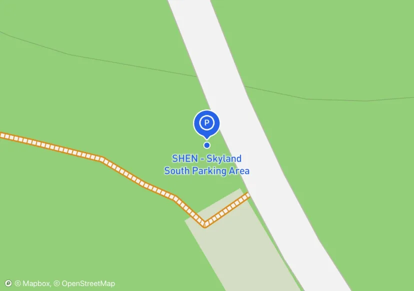
SHEN - Skyland South Parking Area
Added based on existing GIS data; Not sure if we should include in FMSS or not
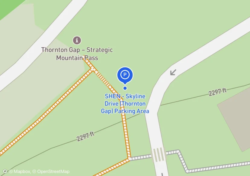
SHEN - Skyline Drive (Thornton Gap) Parking Area
Get asset info from SHEN; Added based on existing GIS data; Not sure if we should include in FMSS or not
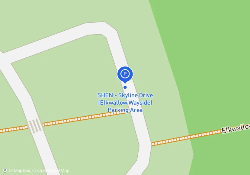
SHEN - Skyline Drive (Elkwallow Wayside) Parking Area
Modern restroom facilties.; Added based on existing GIS data; Not sure if we should include in FMSS or not
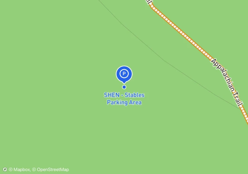
SHEN - Stables Parking Area
Added based on existing GIS data; Not sure if we should include in FMSS or not
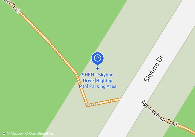
SHEN - Skyline Drive (Hightop Mtn) Parking Area
Added based on existing GIS data; Not sure if we should include in FMSS or not
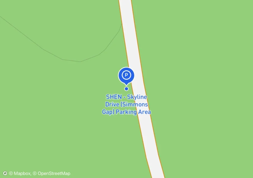
SHEN - Skyline Drive (Simmons Gap) Parking Area
Added based on existing GIS data; Not sure if we should include in FMSS or not
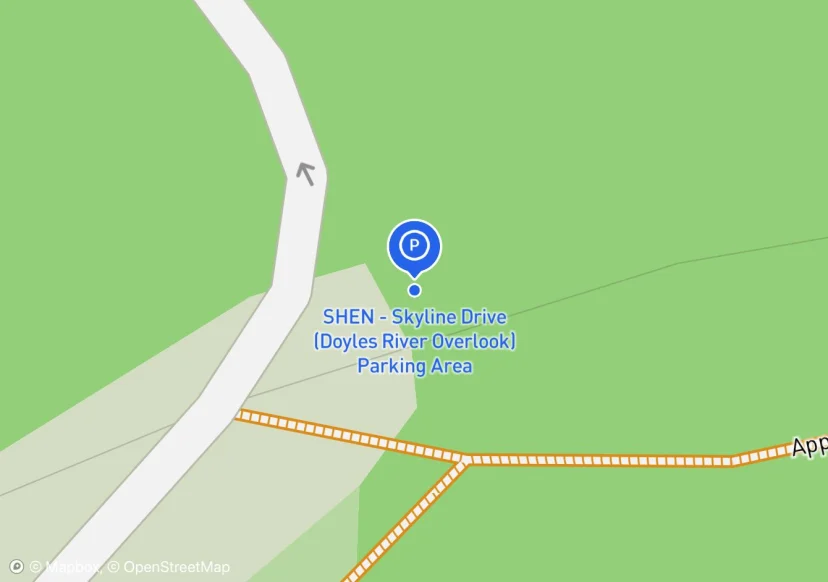
SHEN - Skyline Drive (Doyles River Overlook) Parking Area
Added based on existing GIS data; Not sure if we should include in FMSS or not
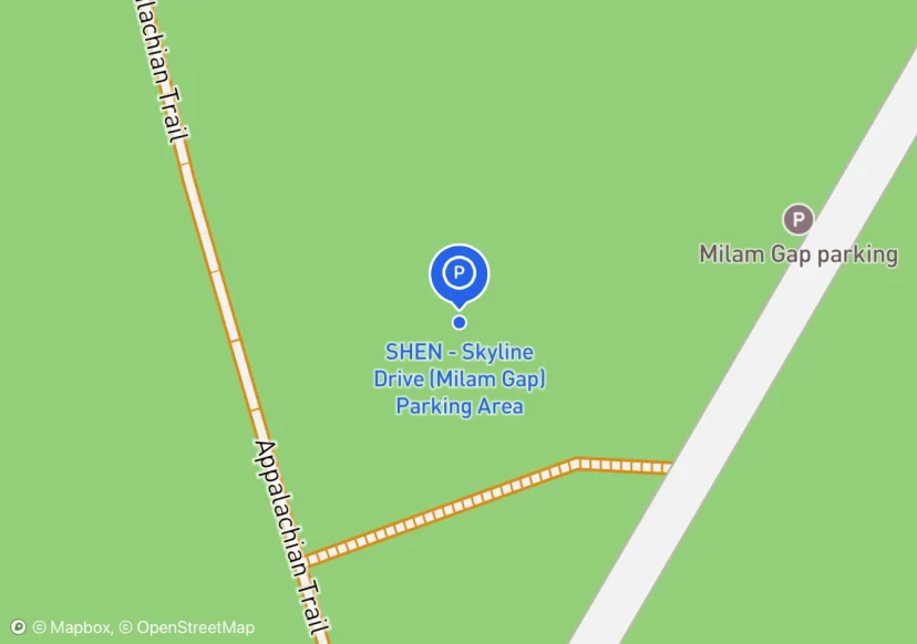
SHEN - Skyline Drive (Milam Gap) Parking Area
Added based on existing GIS data; Not sure if we should include in FMSS or not
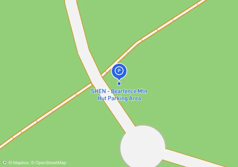
SHEN - Bearfence Mtn Hut Parking Area
not on Rohland's parking website; Added based on existing GIS data; Not sure if we should include in FMSS or not
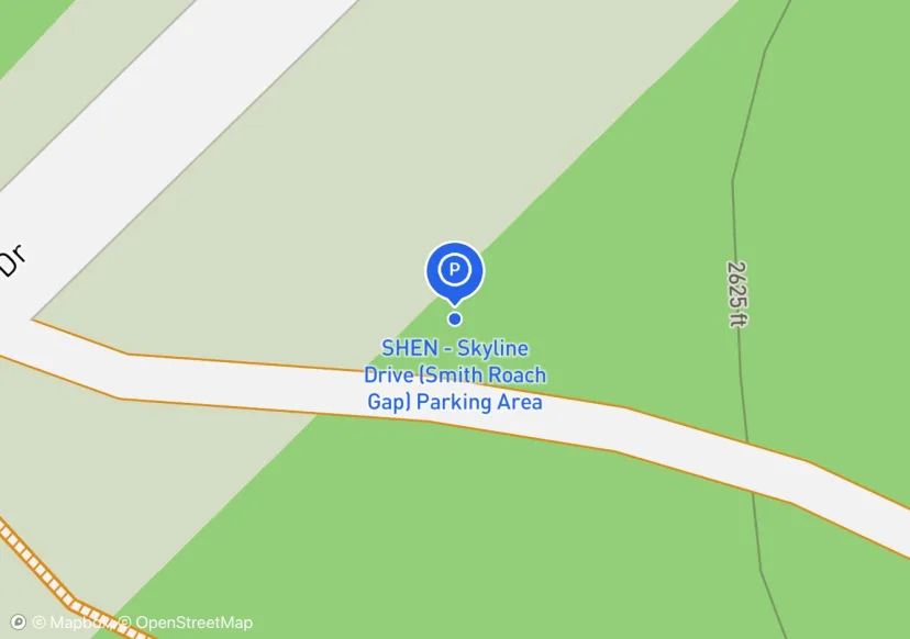
SHEN - Skyline Drive (Smith Roach Gap) Parking Area
SHEN gate and lock; Added based on existing GIS data; Not sure if we should include in FMSS or not
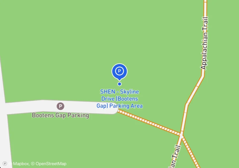
SHEN - Skyline Drive (Bootens Gap) Parking Area
Added based on existing GIS data; Not sure if we should include in FMSS or not
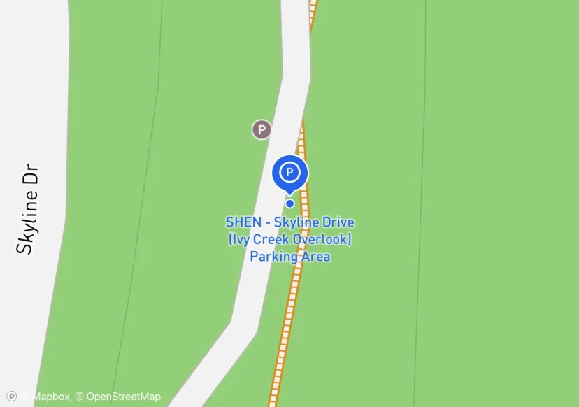
SHEN - Skyline Drive (Ivy Creek Overlook) Parking Area
Added based on existing GIS data; Not sure if we should include in FMSS or not
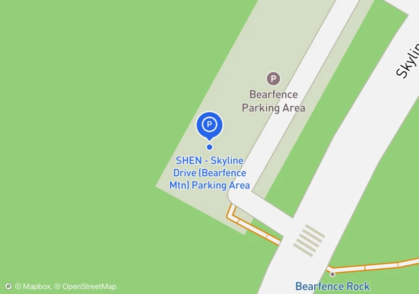
SHEN - Skyline Drive (Bearfence Mtn) Parking Area
Added based on existing GIS data; Not sure if we should include in FMSS or not
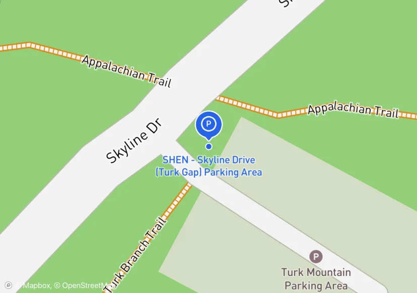
SHEN - Skyline Drive (Turk Gap) Parking Area
Added based on existing GIS data; Not sure if we should include in FMSS or not
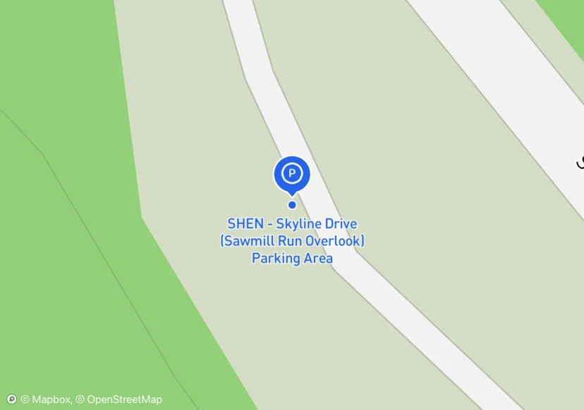
SHEN - Skyline Drive (Sawmill Run Overlook) Parking Area
Added based on existing GIS data; Not sure if we should include in FMSS or not
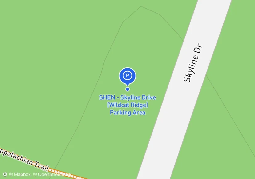
SHEN - Skyline Drive (Wildcat Ridge) Parking Area
Added based on existing GIS data; Not sure if we should include in FMSS or not
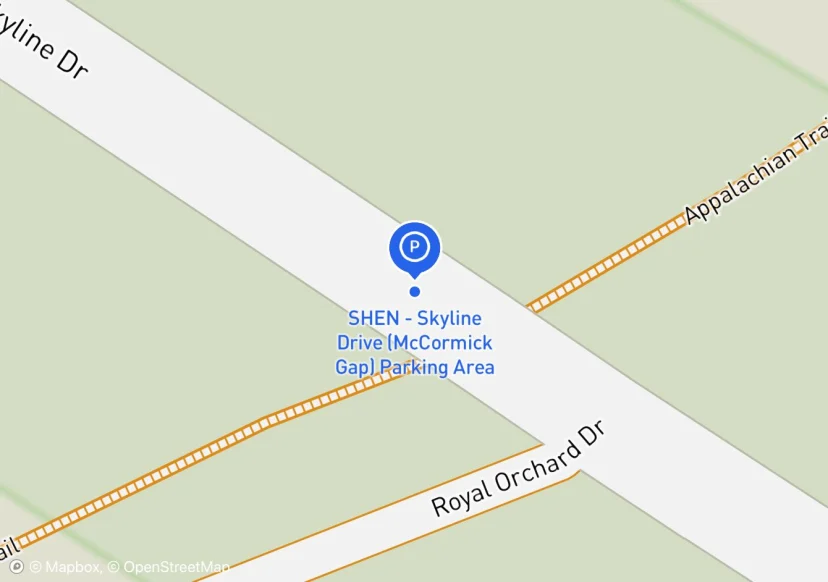
SHEN - Skyline Drive (McCormick Gap) Parking Area
Added based on existing GIS data; Not sure if we should include in FMSS or not
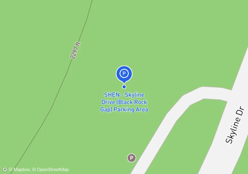
SHEN - Skyline Drive (Black Rock Gap) Parking Area
Added based on existing GIS data; Not sure if we should include in FMSS or not
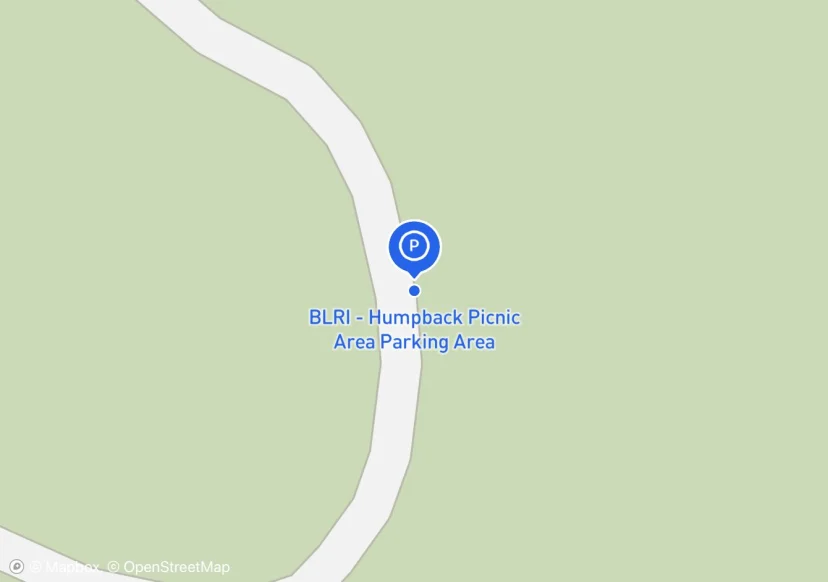
BLRI - Humpback Picnic Area Parking Area
Added based on existing GIS data; Not sure if we should include in FMSS or not
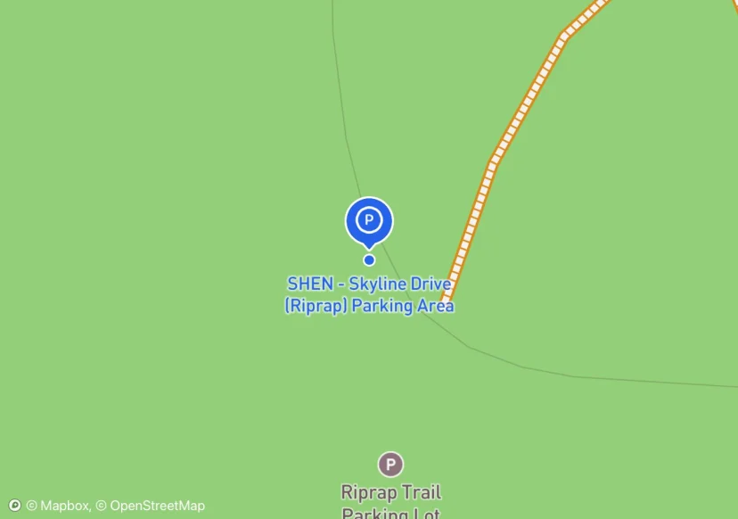
SHEN - Skyline Drive (Riprap) Parking Area
Added based on existing GIS data; Not sure if we should include in FMSS or not
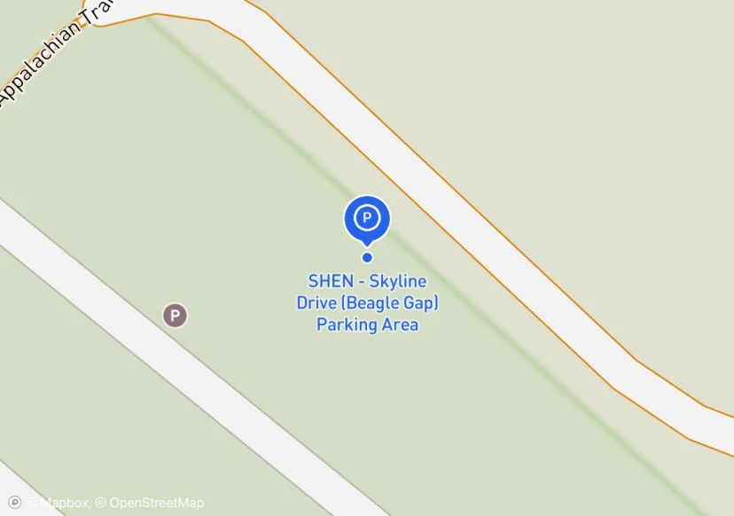
SHEN - Skyline Drive (Beagle Gap) Parking Area
Added based on existing GIS data; Not sure if we should include in FMSS or not
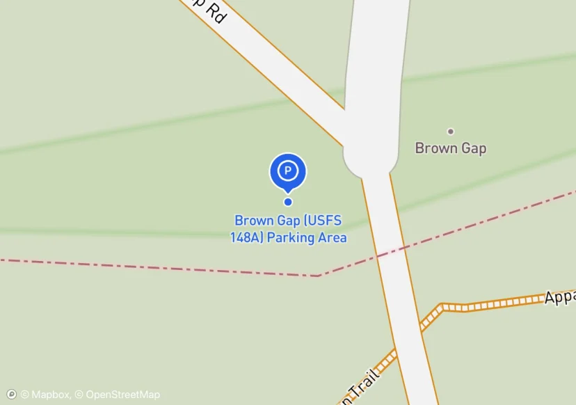
Brown Gap (USFS 148A) Parking Area
Added based on existing GIS data; Not sure if we should include in FMSS or not

VA Rte 641 Parking Area
Digtized Location based on 2014 Road Inventory Assessment; Added based on existing GIS data; Not sure if we should include in FMSS or not
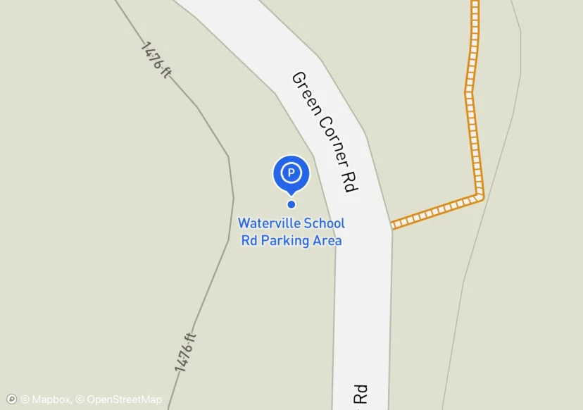
Waterville School Rd Parking Area
Added based on existing GIS data; Not sure if we should include in FMSS or not
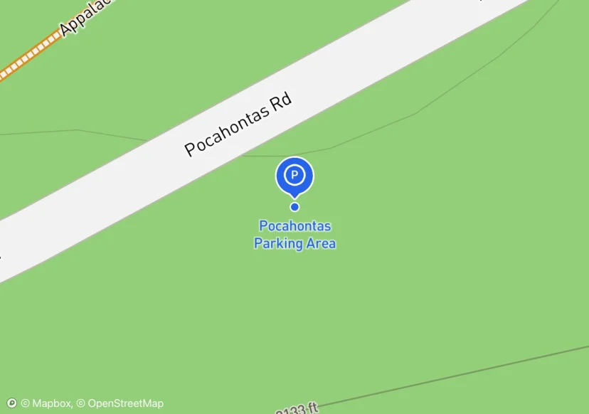
Pocahontas Parking Area
Digtized Location based on 2014 Road Inventory Assessment; Added based on existing GIS data; Not sure if we should include in FMSS or not
VA Rte 601 Parking Area
Added based on existing GIS data; Not sure if we should include in FMSS or not
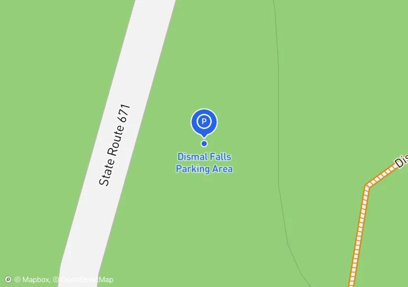
Dismal Falls Parking Area
Digtized Location based on 2014 Road Inventory Assessment; Added based on existing GIS data; Not sure if we should include in FMSS or not
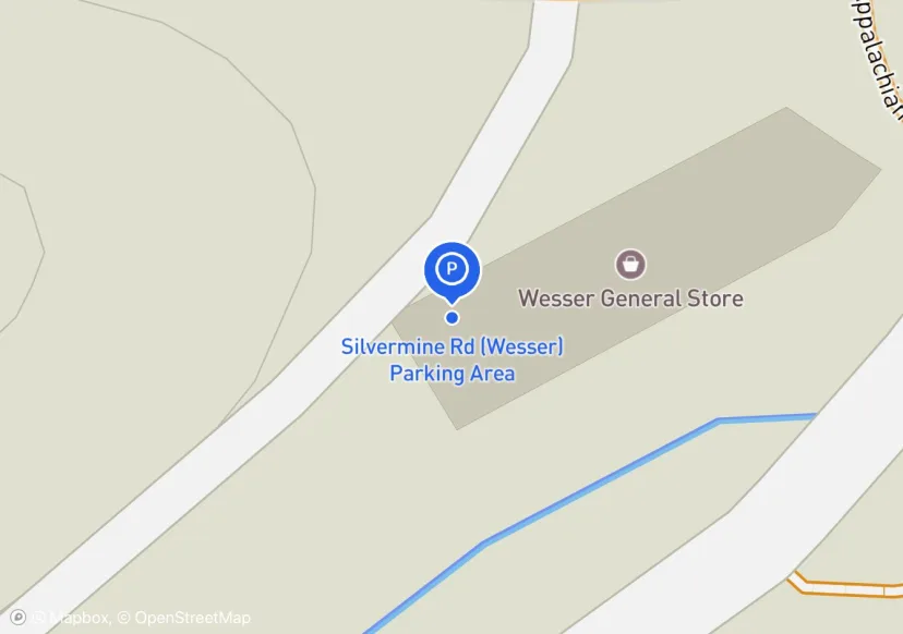
Silvermine Rd (Wesser) Parking Area
Roadside parking along Silvermine Rd up to the junction of US-19 & US 74
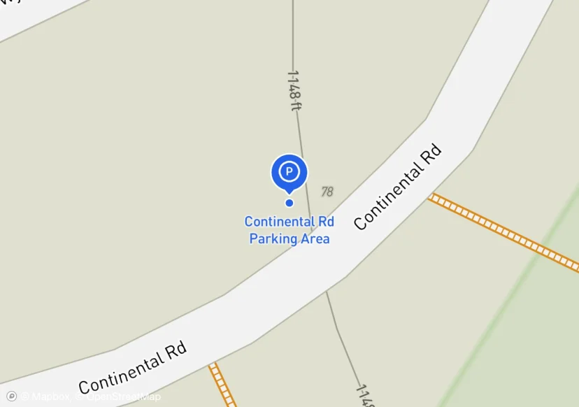
Continental Rd Parking Area
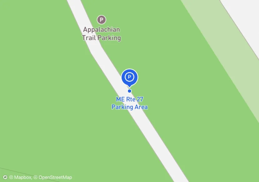
ME Rte 27 Parking Area
TWO ENTRANCES. PAVED ACCESS ROAD BUT GRAVEL PARKING SURFACE; State DOT did recent improvements, but NPS owned; Added based on existing GIS data; Not sure if we should include in FMSS or not
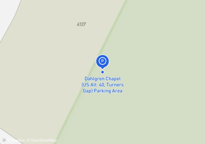
Dahlgren Chapel (US Alt. 40, Turners Gap) Parking Area
Added based on existing FMSS data; Not sure we should keep in FMSS
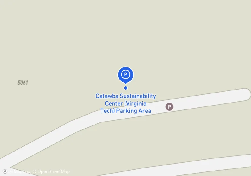
Catawba Sustainability Center (Virginia Tech) Parking Area
Parking Area for Catawba Greenway Side Trail, located at 5061 Catawba Creek Road. Maintained by Virginia Tech
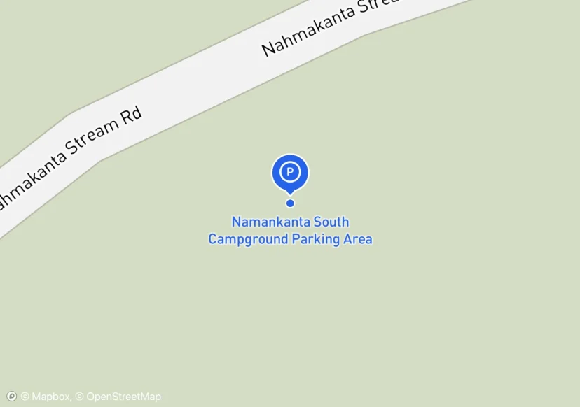
Namankanta South Campground Parking Area
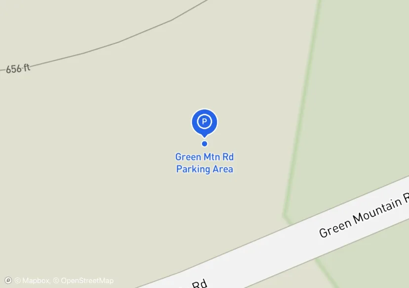
Green Mtn Rd Parking Area
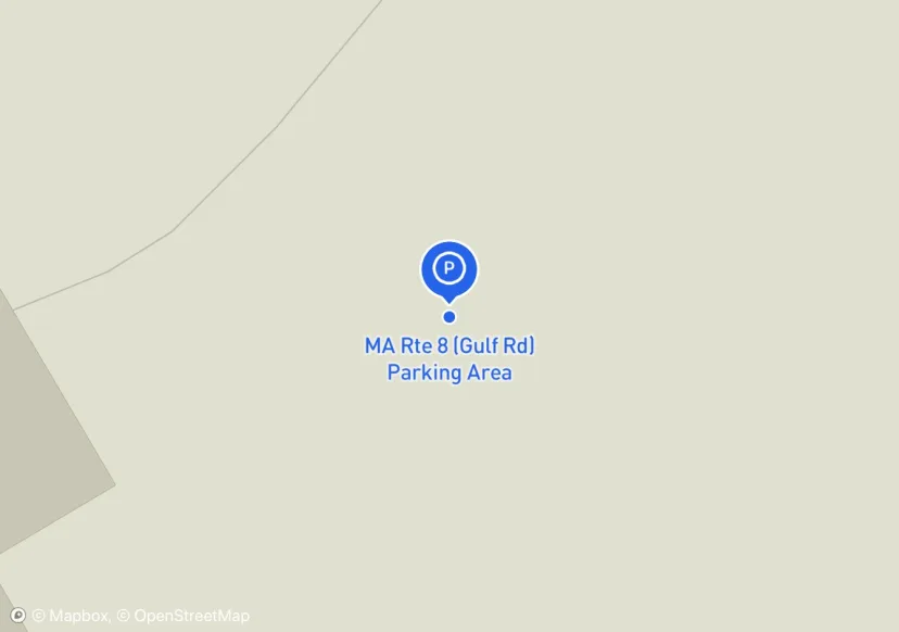
MA Rte 8 (Gulf Rd) Parking Area
Added based on existing FMSS data; Not sure we should keep in FMSS
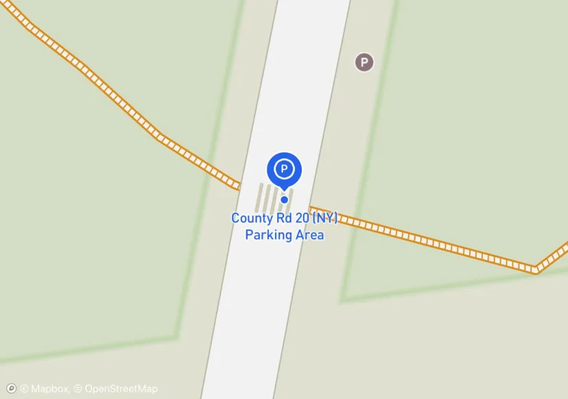
County Rd 20 (NY) Parking Area
Added based on existing GIS data; Not sure if we should include in FMSS or not
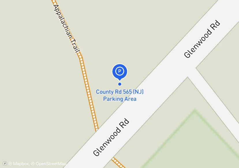
County Rd 565 (NJ) Parking Area
Added based on existing GIS data; Not sure if we should include in FMSS or not
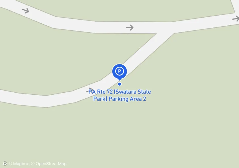
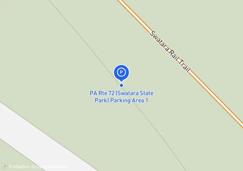
PA Rte 72 (Swatara State Park) Parking Area 2
Digtized Location based on 2014 Road Inventory Assessment; Added based on existing GIS data; Not sure if we should include in FMSS or not
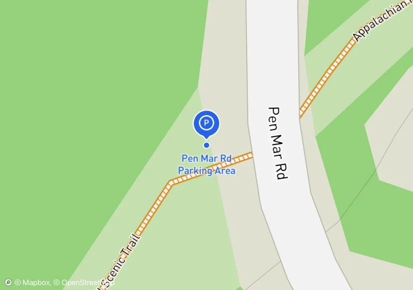
Pen Mar Rd Parking Area
Added based on existing GIS data; Not sure if we should include in FMSS or not
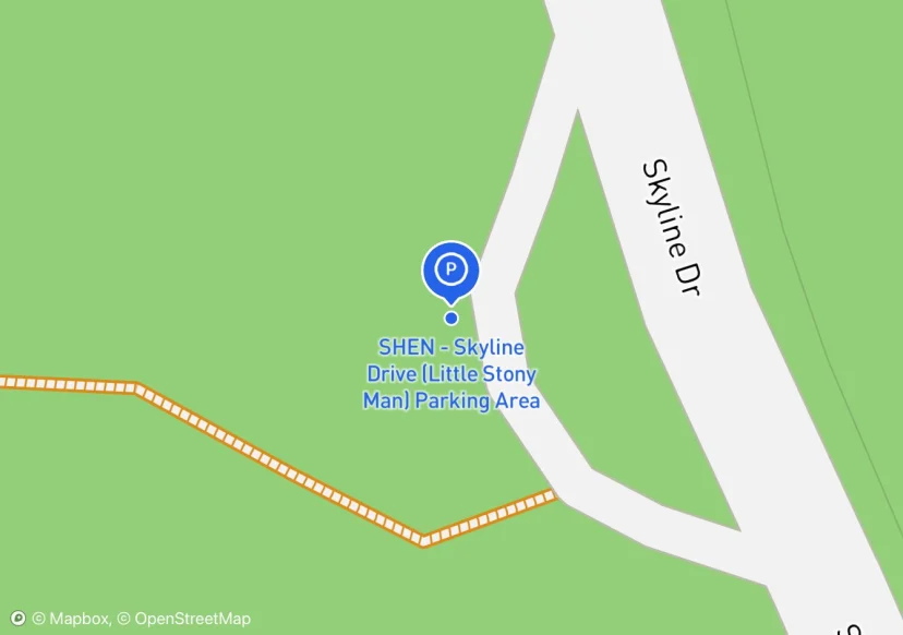
SHEN - Skyline Drive (Little Stony Man) Parking Area
Added based on existing GIS data; Not sure if we should include in FMSS or not
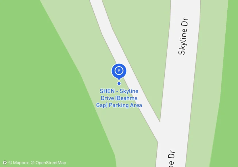
SHEN - Skyline Drive (Beahms Gap) Parking Area
Check w/SHEN for asset info/data; Added based on existing GIS data; Not sure if we should include in FMSS or not
SHEN - Skyline Drive (Doyles River Trailhead) Parking Area
Added based on existing GIS data; Not sure if we should include in FMSS or not
SHEN - Skyline Drive (Black Rock) Parking Area
Added based on existing GIS data; Not sure if we should include in FMSS or not
SHEN - Skyline Drive (Browns Gap) Parking Area
Added based on existing GIS data; Not sure if we should include in FMSS or not
SHEN - Skyline Drive (Jones Run) Parking Area
Added based on existing GIS data; Not sure if we should include in FMSS or not
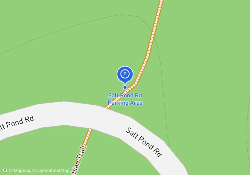
Salt Pond Rd Parking Area
Digtized Location based on 2014 Road Inventory Assessment; Added based on existing GIS data; Not sure if we should include in FMSS or not
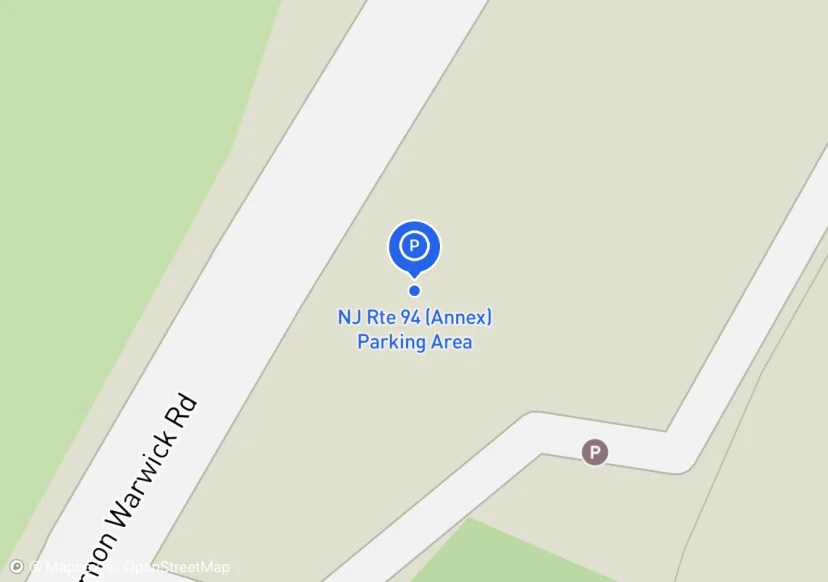
NJ Rte 94 (Annex) Parking Area
just an offshoot of NJ94; Added based on existing GIS data; Not sure if we should include in FMSS or not
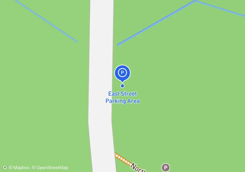
East Street Parking Area
Old CT/MA line road to Sages Ravine, I don't think we want to promote this as an A.T. parking area; Added based on existing GIS data; Not sure if we should include in FMSS or not
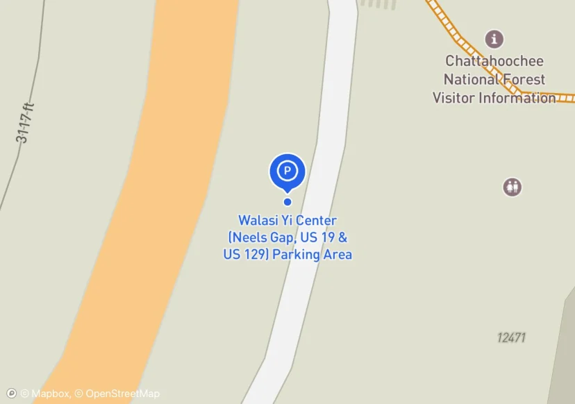
Walasi Yi Center (Neels Gap, US 19 & US 129) Parking Area
Need to confirm who maintains this -- Walasi or GA DOT?; Added based on existing GIS data; Not sure if we should include in FMSS or not
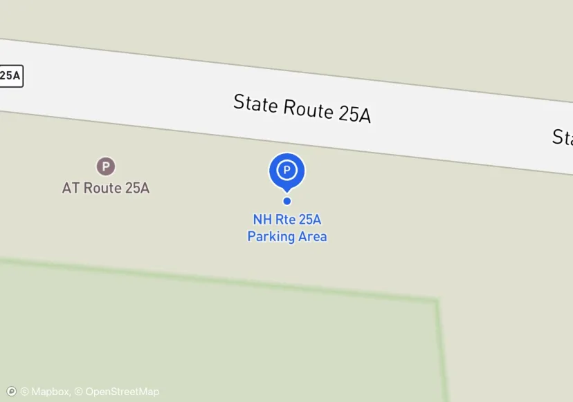
NH Rte 25A Parking Area
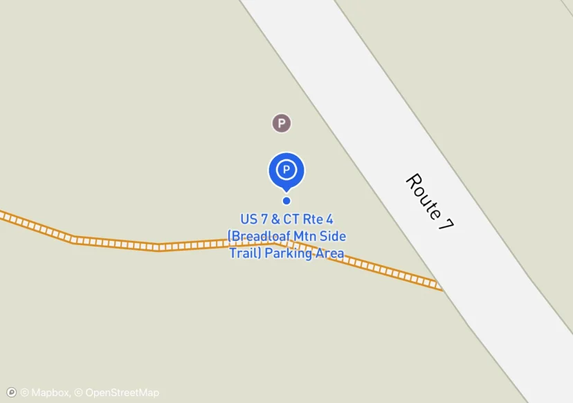
US 7 & CT Rte 4 (Breadloaf Mtn Side Trail) Parking Area
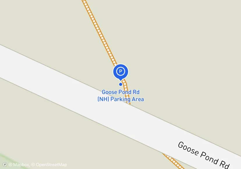
Goose Pond Rd (NH) Parking Area
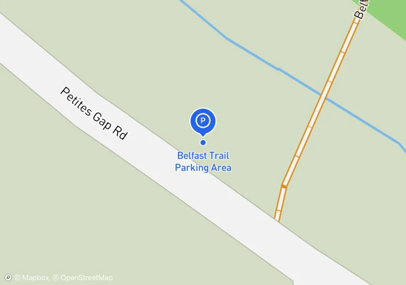
Belfast Trail Parking Area
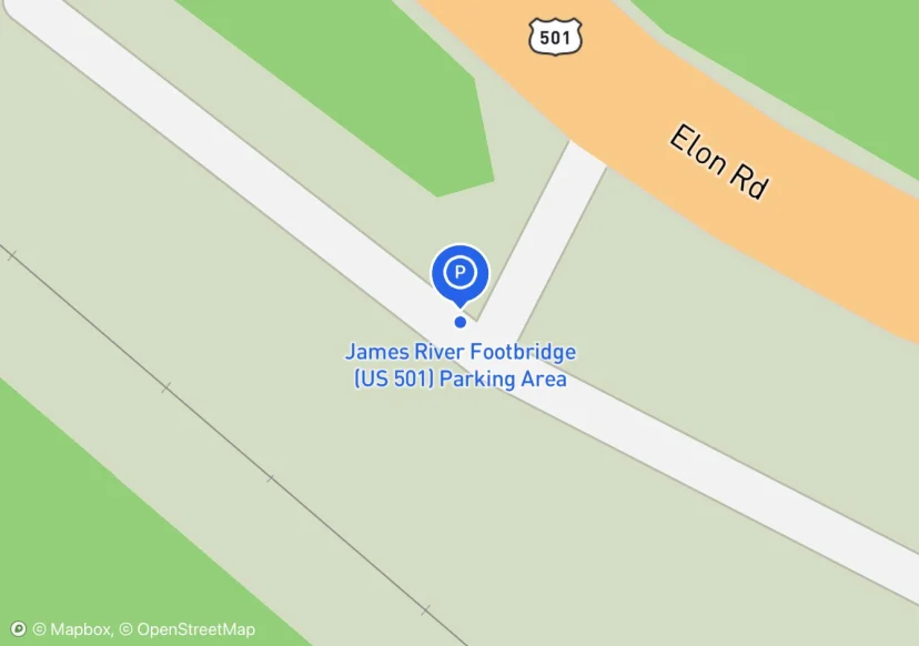
James River Footbridge (US 501) Parking Area
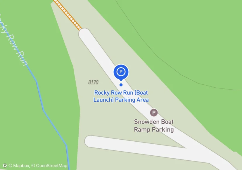
Rocky Row Run (Boat Launch) Parking Area
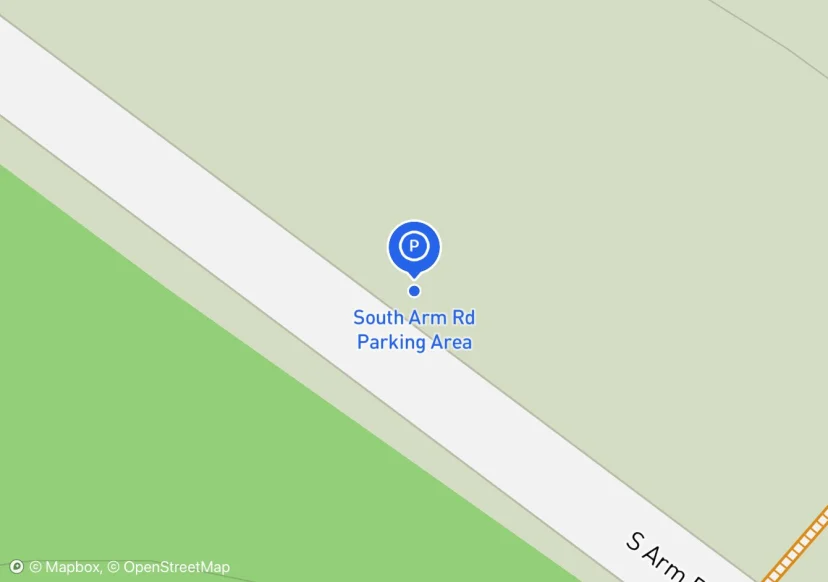
South Arm Rd Parking Area
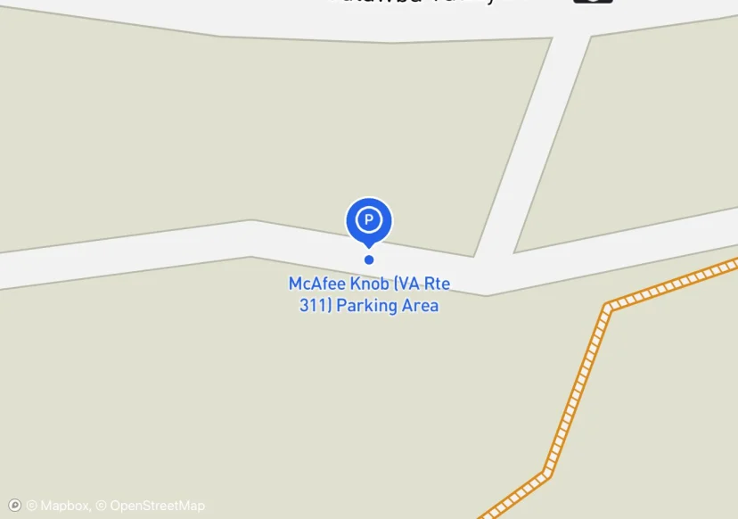
McAfee Knob (VA Rte 311) Parking Area
Emergency vehicle parking enclosed by & postfence.
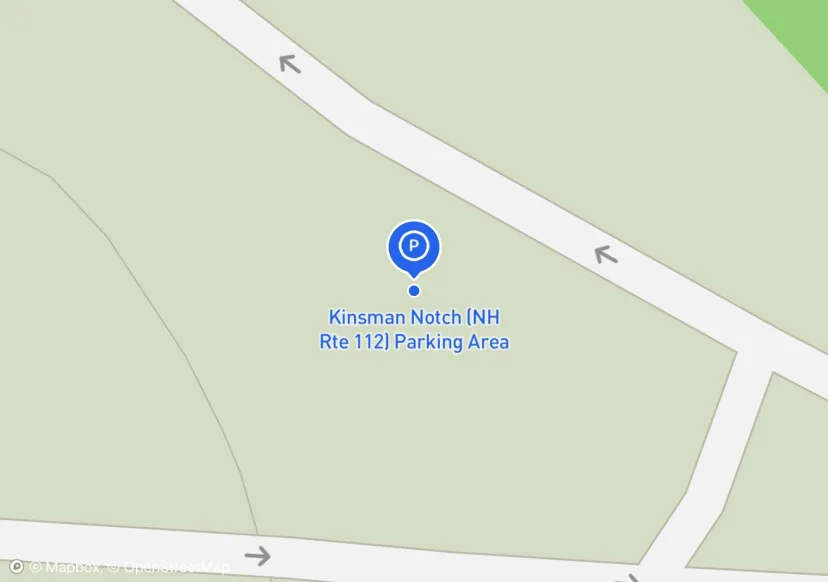
Kinsman Notch (NH Rte 112) Parking Area
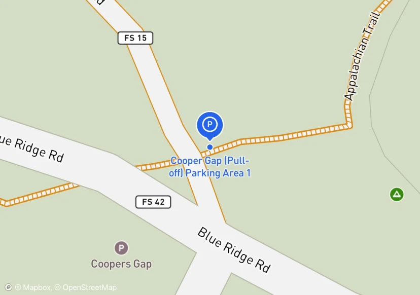
Cooper Gap (Pull-off) Parking Area 1
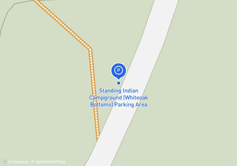
Standing Indian Campground (Whiteoak Bottoms) Parking Area
other denotes rail ties
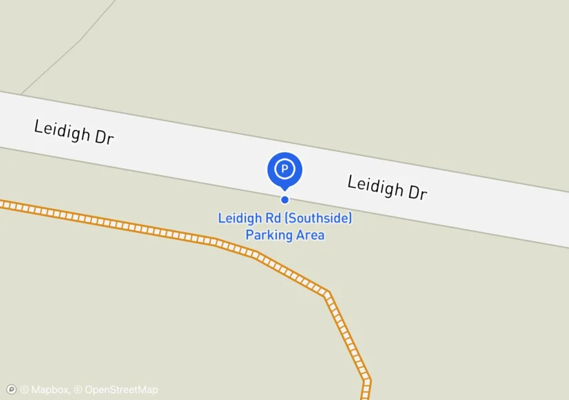
Leidigh Rd (Southside) Parking Area
Added based on existing GIS data; Not sure if we should include in FMSS or not
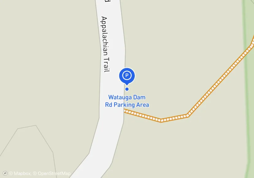
Watauga Dam Rd Parking Area
Parallel parking along Wilbur Dam Road. Name should be changed to Wilbur Dam Road Parking Area.
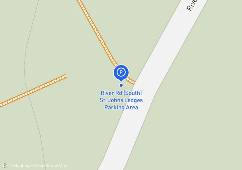
River Rd (South) St. Johns Ledges Parking Area
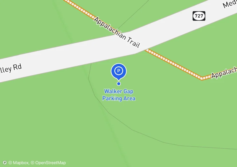
Walker Gap Parking Area
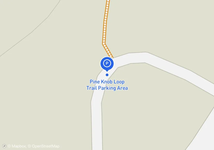
Pine Knob Loop Trail Parking Area
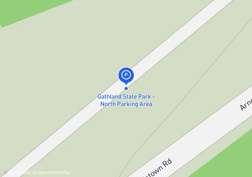
Gathland State Park - North Parking Area
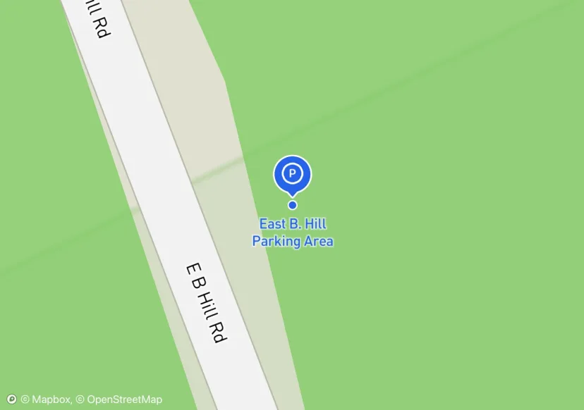
East B. Hill Parking Area
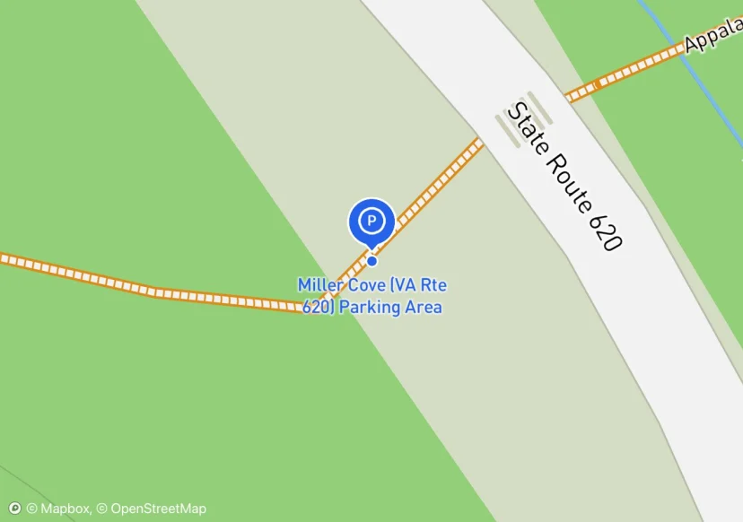
Miller Cove (VA Rte 620) Parking Area
Millers Cove Road; Manually adjusted location
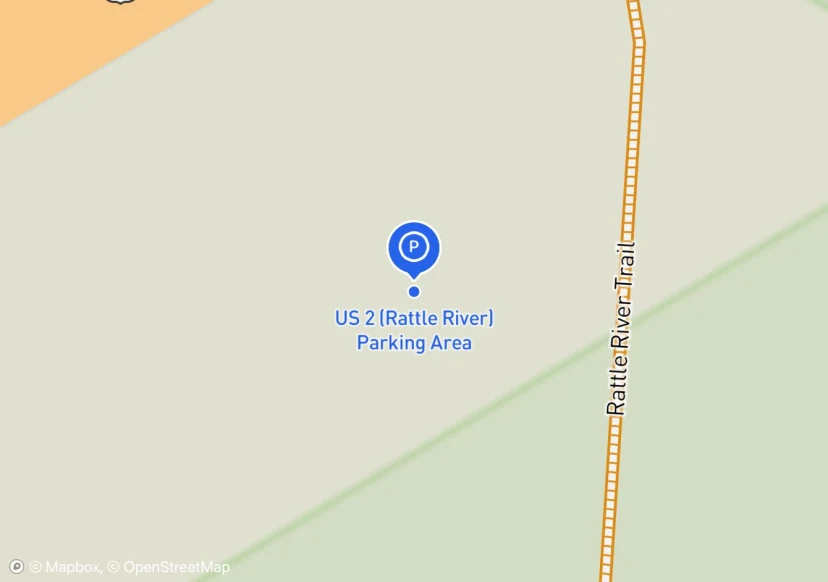
US 2 (Rattle River) Parking Area
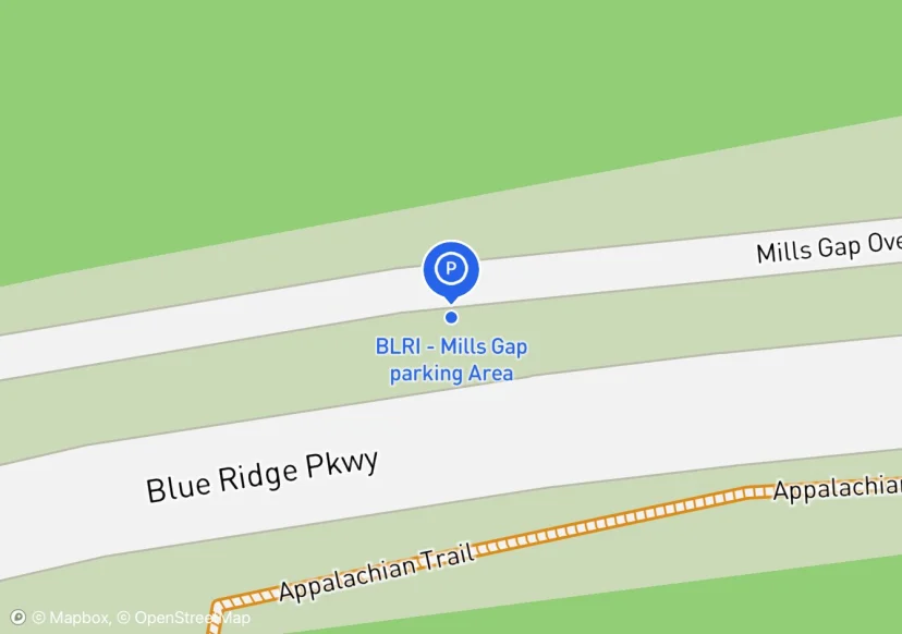
BLRI - Mills Gap parking Area
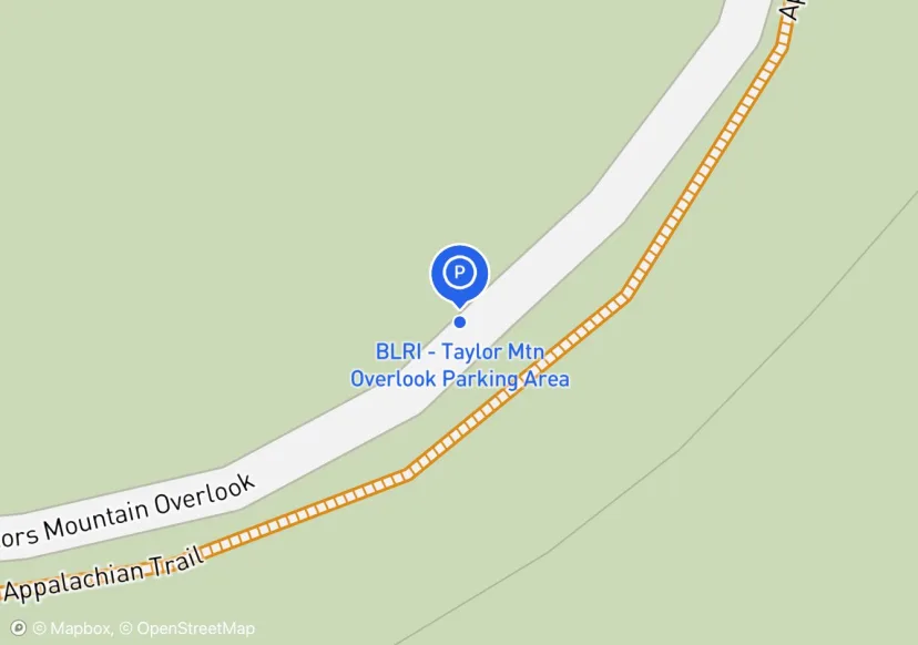
BLRI - Taylor Mtn Overlook Parking Area
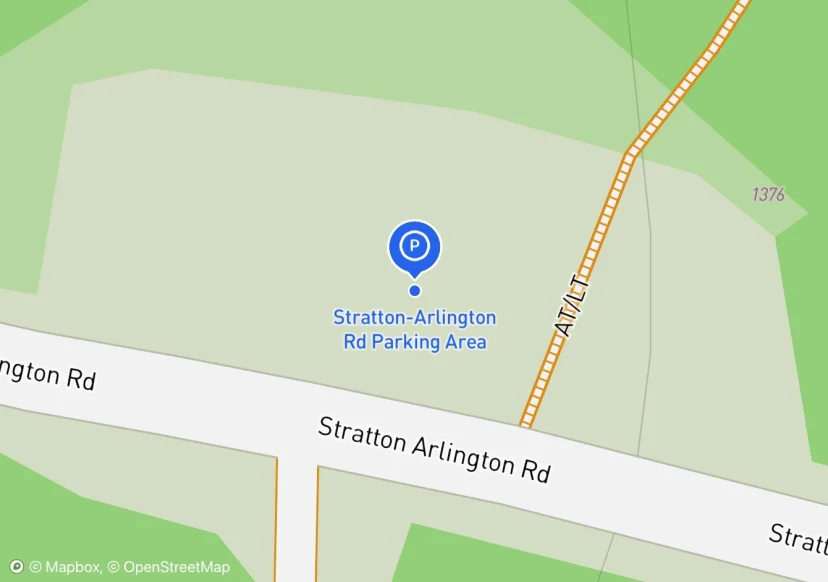
Stratton-Arlington Rd Parking Area
PA Rte 72 (Swatara State Park) Parking Area 1
Added based on existing GIS data; Not sure if we should include in FMSS or not
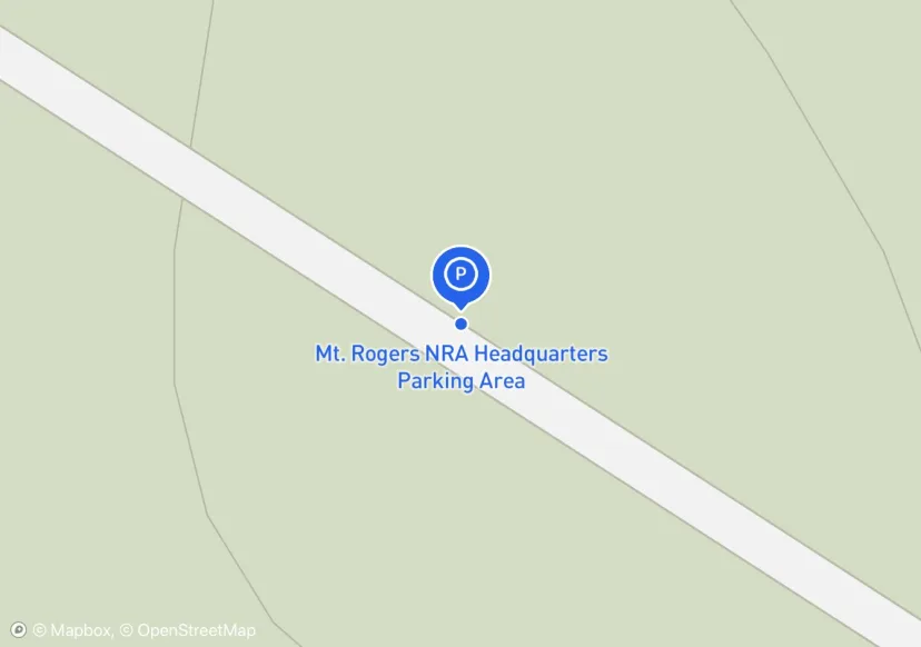
Mt. Rogers NRA Headquarters Parking Area
No field for streetlights?
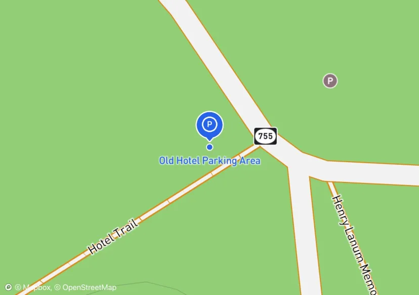
Old Hotel Parking Area
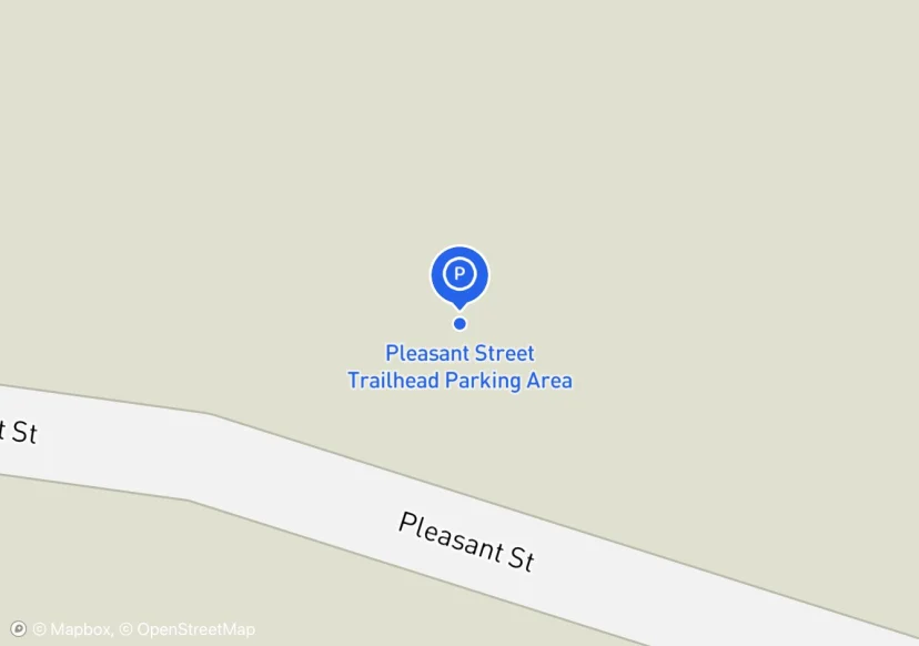
Pleasant Street Trailhead Parking Area
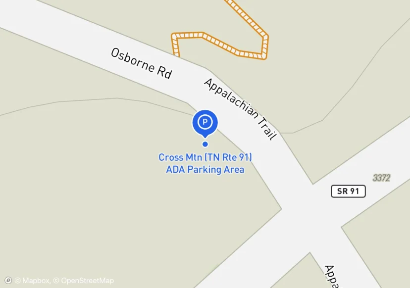
Cross Mtn (TN Rte 91) ADA Parking Area
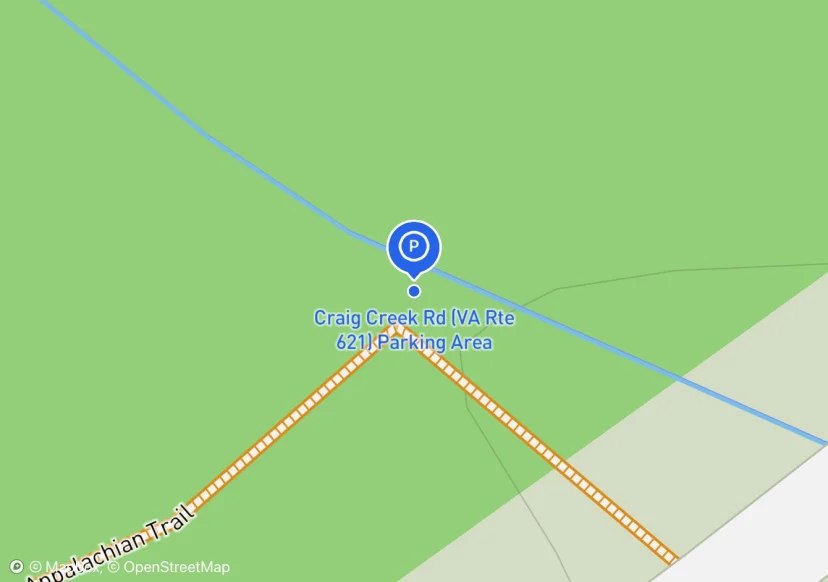
Craig Creek Rd (VA Rte 621) Parking Area
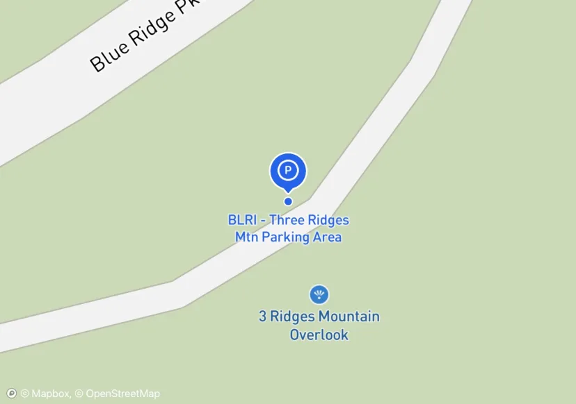
BLRI - Three Ridges Mtn Parking Area
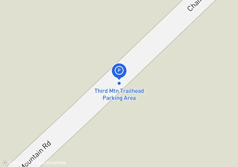
Third Mtn Trailhead Parking Area
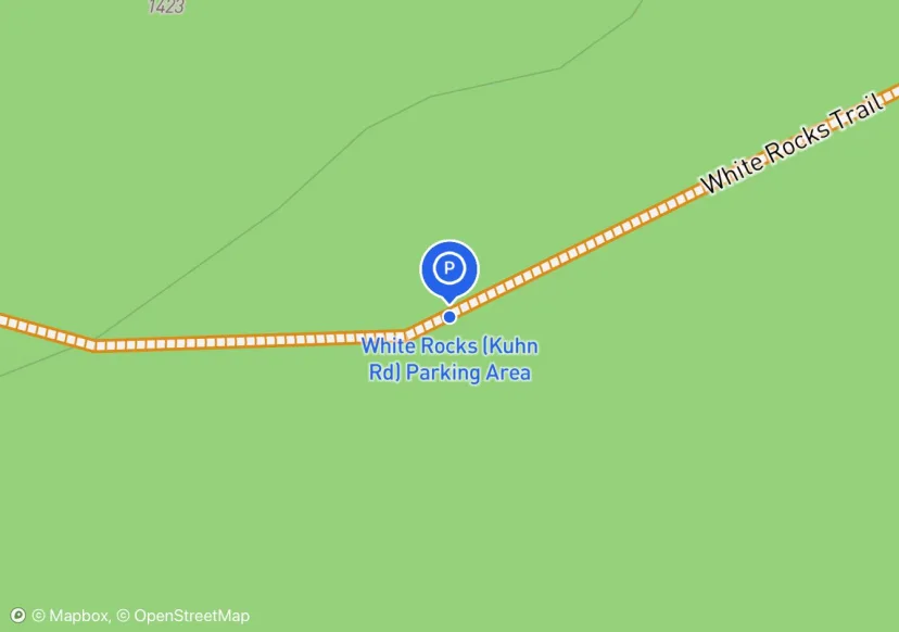
White Rocks (Kuhn Rd) Parking Area
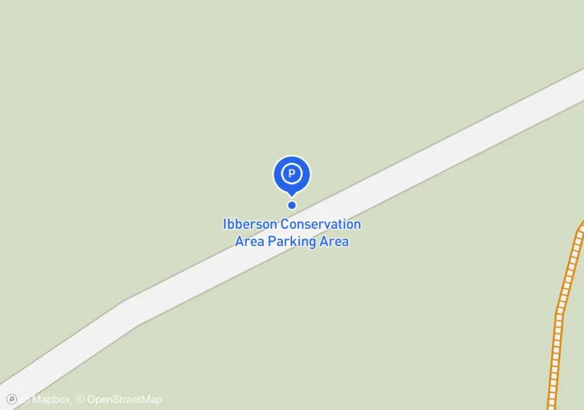
Ibberson Conservation Area Parking Area
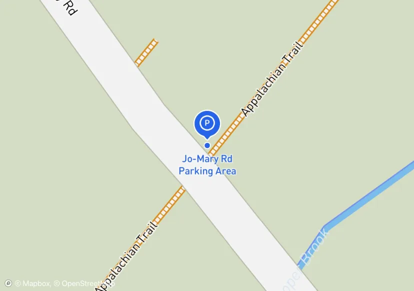
Jo-Mary Rd Parking Area
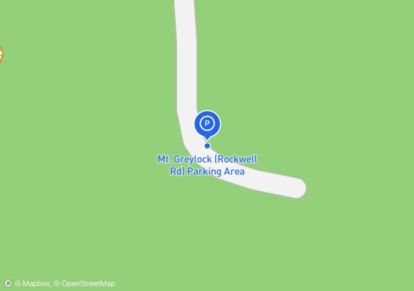
Mt. Greylock (Rockwell Rd) Parking Area
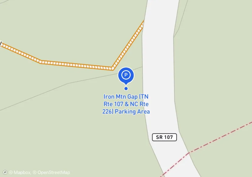
Iron Mtn Gap (TN Rte 107 & NC Rte 226) Parking Area
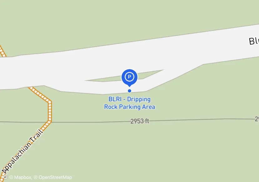
BLRI - Dripping Rock Parking Area
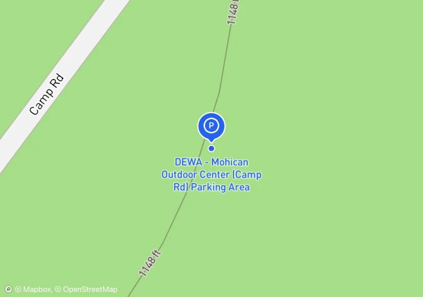
DEWA - Mohican Outdoor Center (Camp Rd) Parking Area
Added based on existing GIS data; Not sure if we should include in FMSS or not
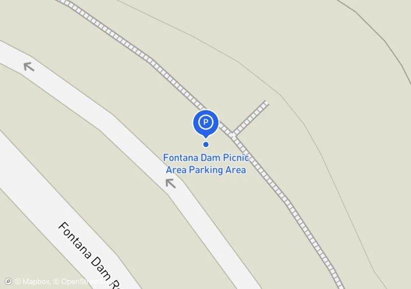
Fontana Dam Picnic Area Parking Area
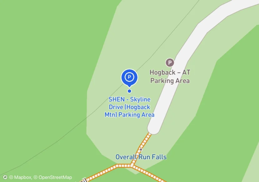
SHEN - Skyline Drive (Hogback Mtn) Parking Area
Added based on existing GIS data; Not sure if we should include in FMSS or not
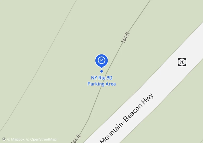
NY Rte 9D Parking Area
Use this as Reference Point Start Point also; Added based on existing GIS data; Not sure if we should include in FMSS or not
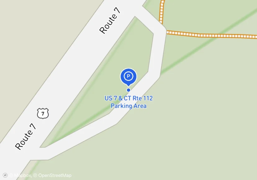
US 7 & CT Rte 112 Parking Area
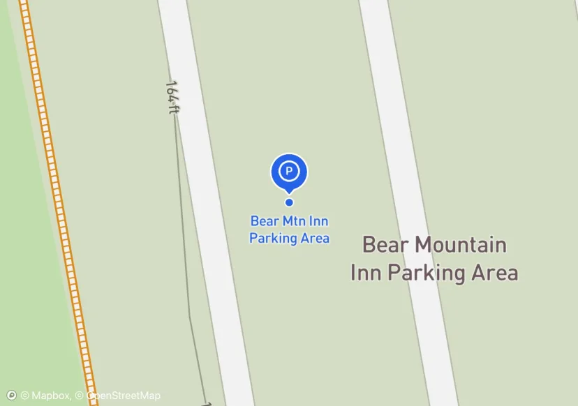
Bear Mtn Inn Parking Area
Digtized Location based on 2014 Road Inventory Assessment; Added based on existing GIS data; Not sure if we should include in FMSS or not
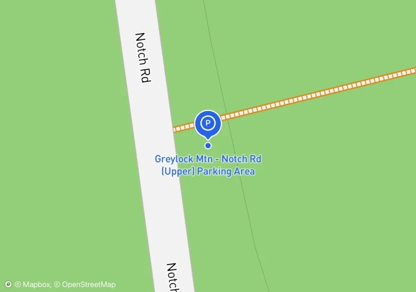
Greylock Mtn - Notch Rd (Upper) Parking Area
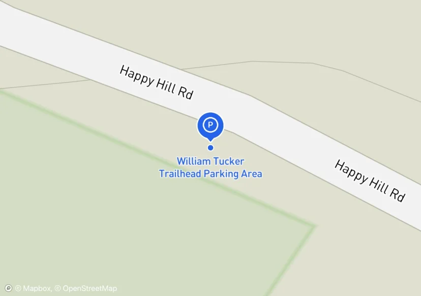
William Tucker Trailhead Parking Area
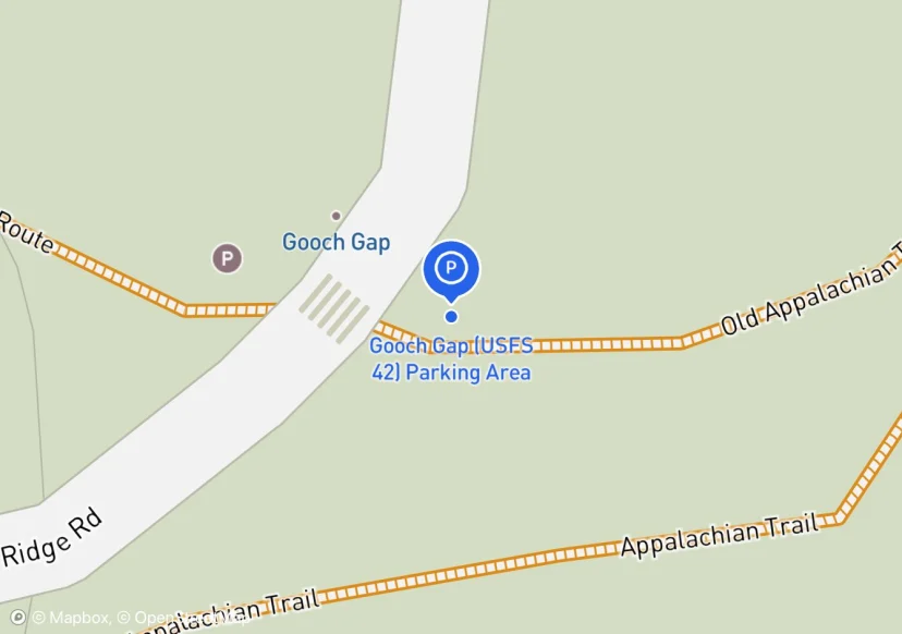
Gooch Gap (USFS 42) Parking Area
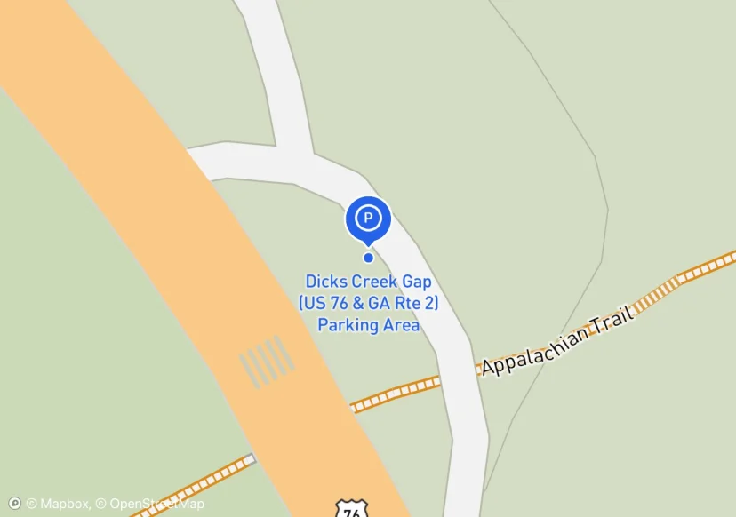
Dicks Creek Gap (US 76 & GA Rte 2) Parking Area
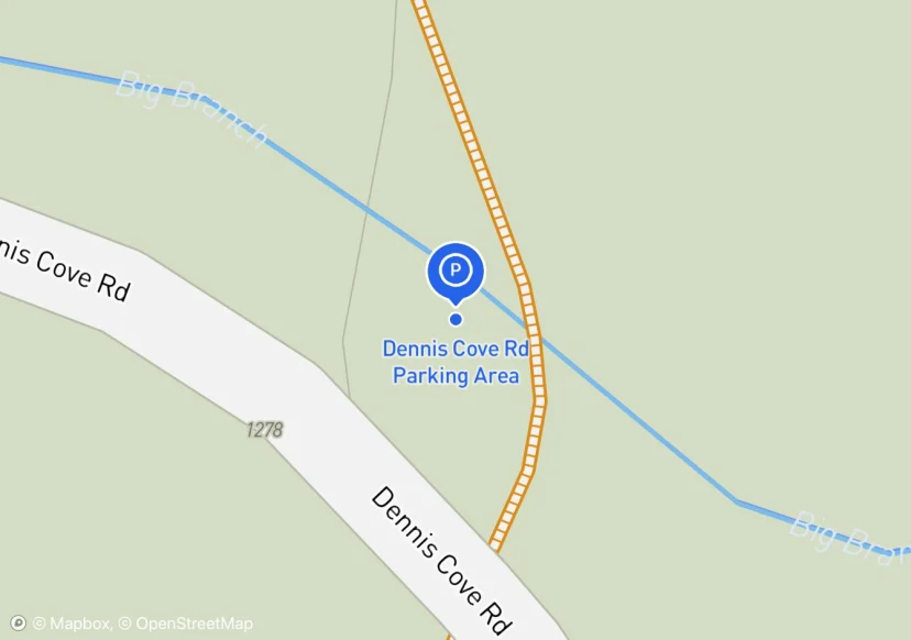
Dennis Cove Rd Parking Area
fencing material is log.
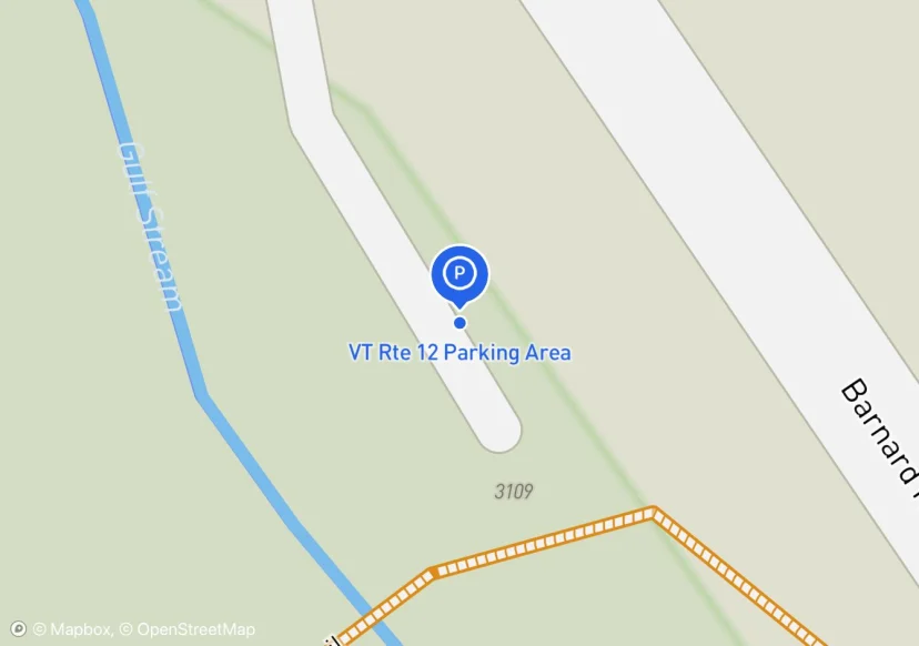
VT Rte 12 Parking Area
Bench
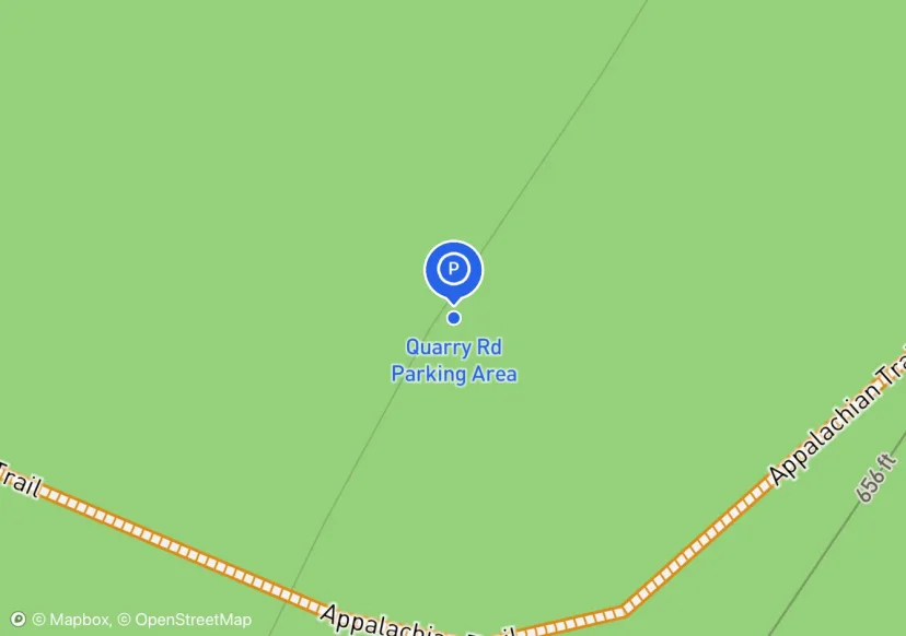
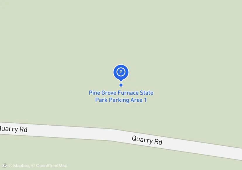
Quarry Rd Parking Area
Added based on existing GIS data; Not sure if we should include in FMSS or not
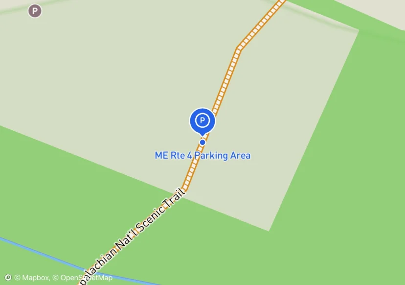
ME Rte 4 Parking Area
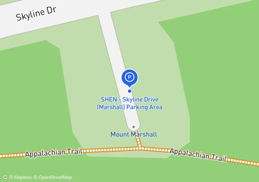
SHEN - Skyline Drive (Marshall) Parking Area
Added based on existing GIS data; Not sure if we should include in FMSS or not
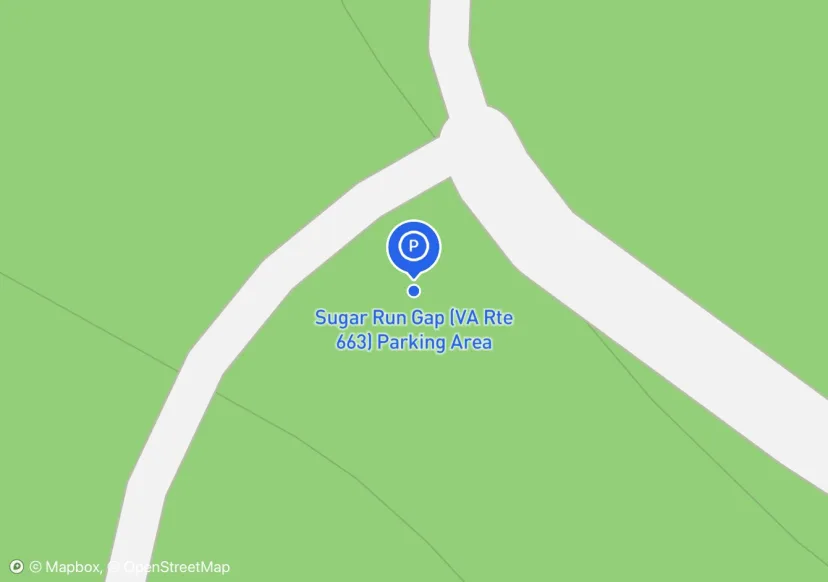
Sugar Run Gap (VA Rte 663) Parking Area
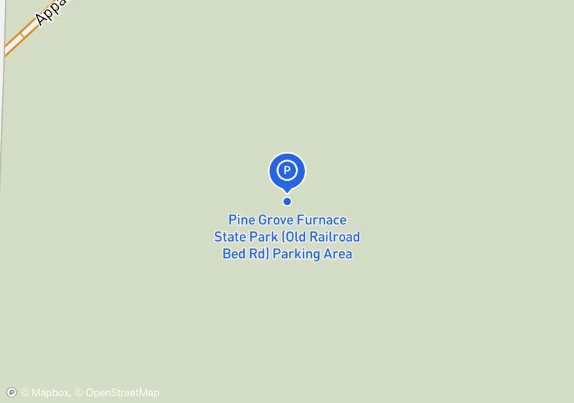
Pine Grove Furnace State Park (Old Railroad Bed Rd) Parking Area
no overnight parking/2 gates; Added based on existing GIS data; Not sure if we should include in FMSS or not
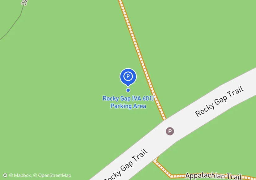
Rocky Gap (VA 601) Parking Area
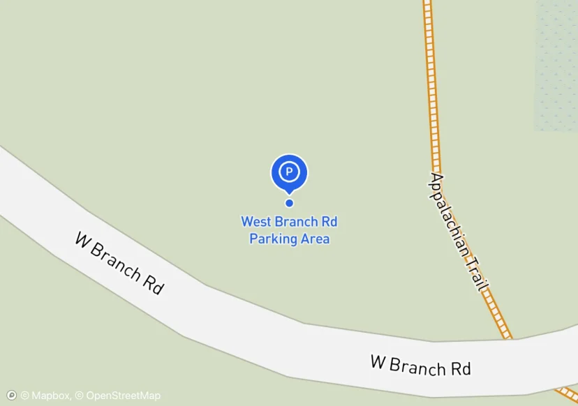
West Branch Rd Parking Area
Added based on existing GIS data; Not sure if we should include in FMSS or not
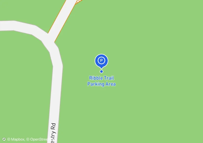
Ribble Trail Parking Area
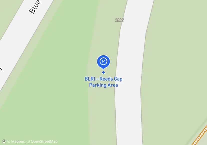
BLRI - Reeds Gap Parking Area
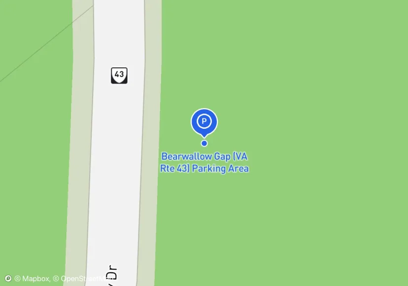
Bearwallow Gap (VA Rte 43) Parking Area
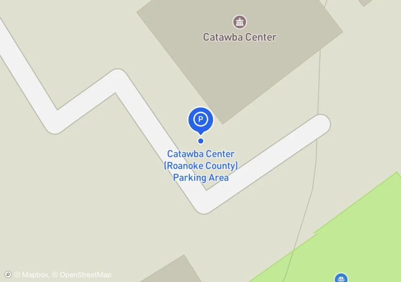
Catawba Center (Roanoke County) Parking Area
Parking Area for Catawba Greenway Side Trail, located at 4965 Catawba Creek Road. Maintained by Roanoke County
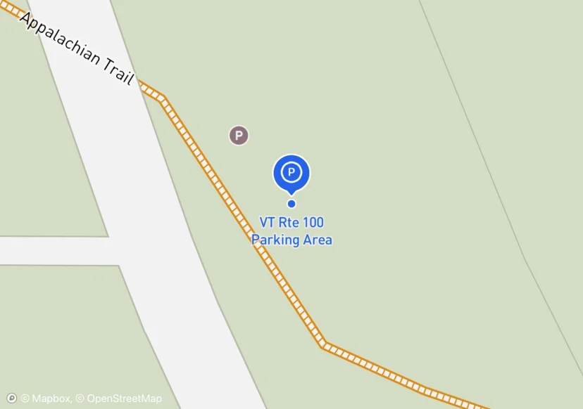
VT Rte 100 Parking Area
Near Kent Pond Access Parking Area
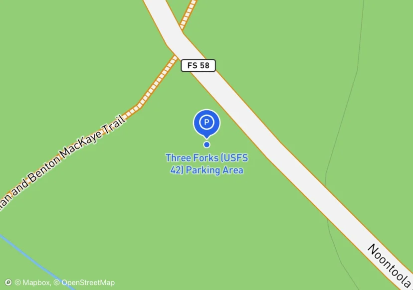
Three Forks (USFS 42) Parking Area
Interactive map preview
Open the full map for layers, filters, and route planning tools.
Open full mapYour next adventure starts here
Create your own maps with custom routes, waypoints, and layers. Then share with your friends to kick off your adventure planning.
