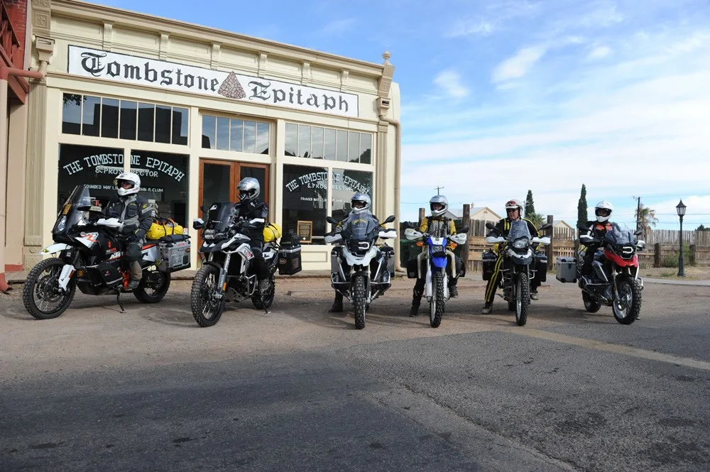
Arizona BDR
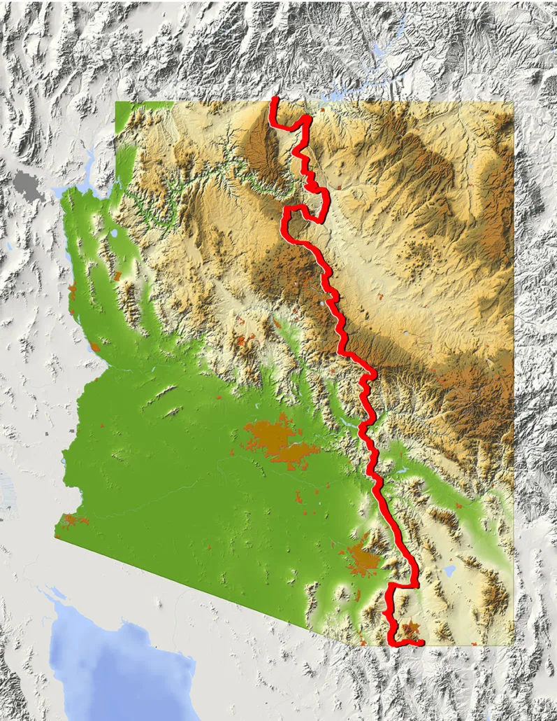
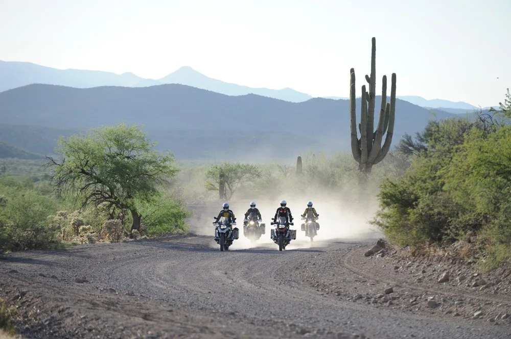
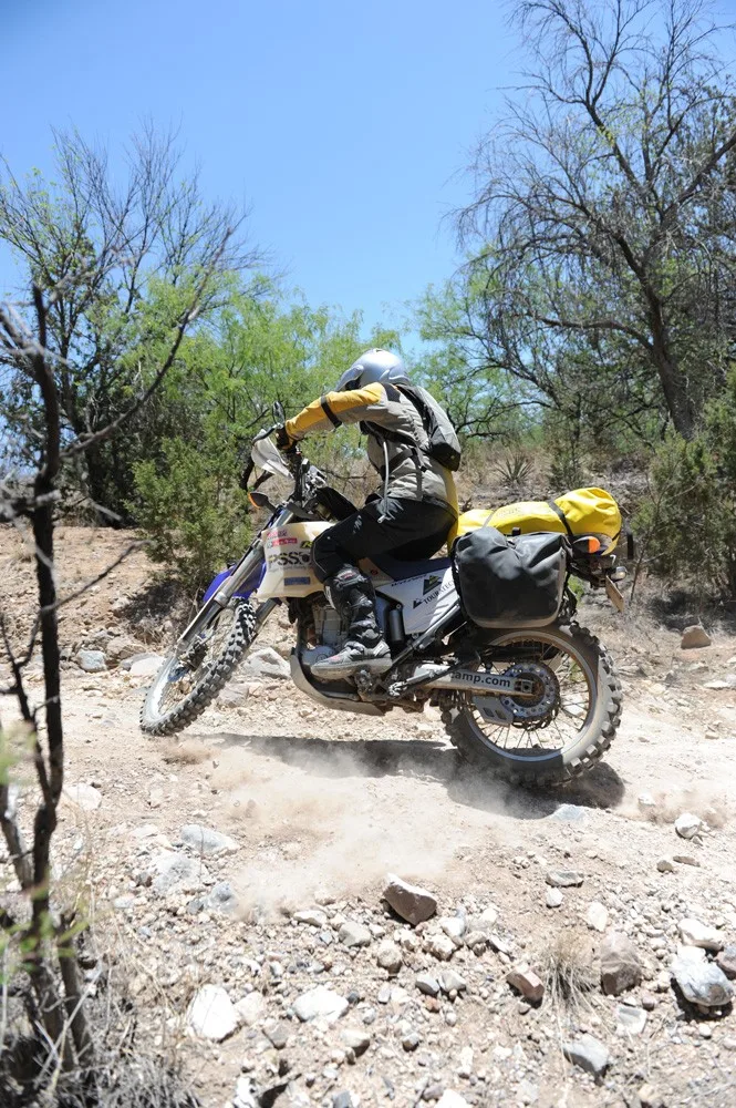
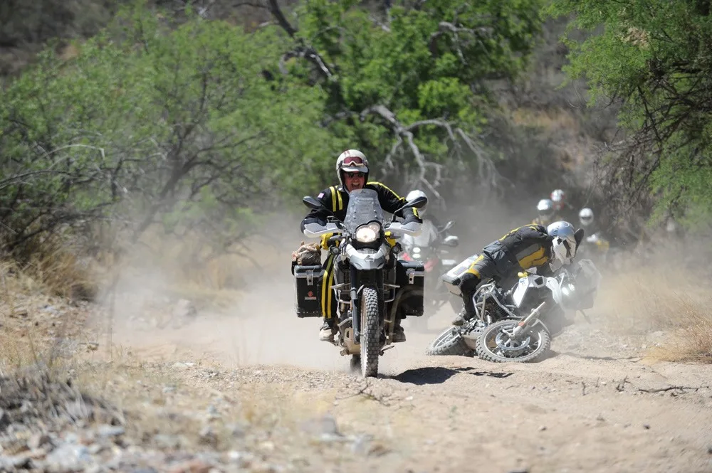
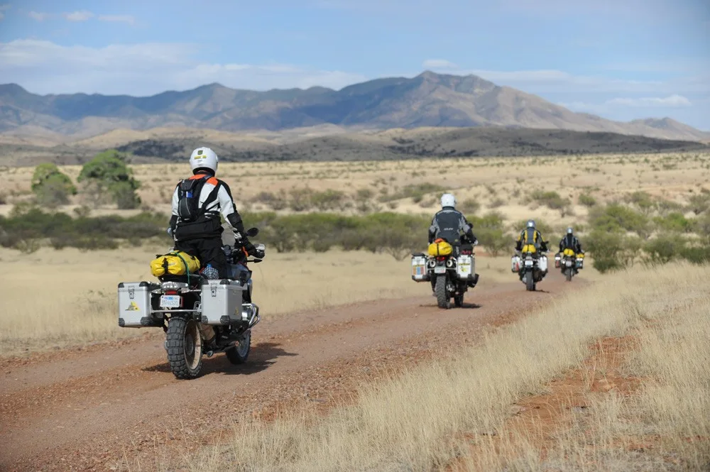
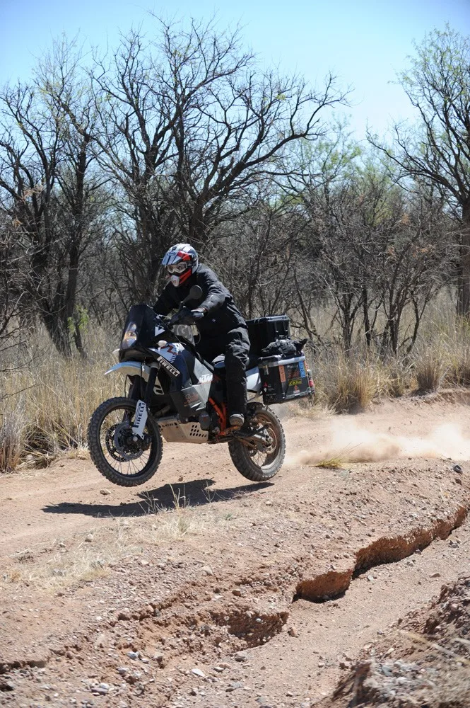
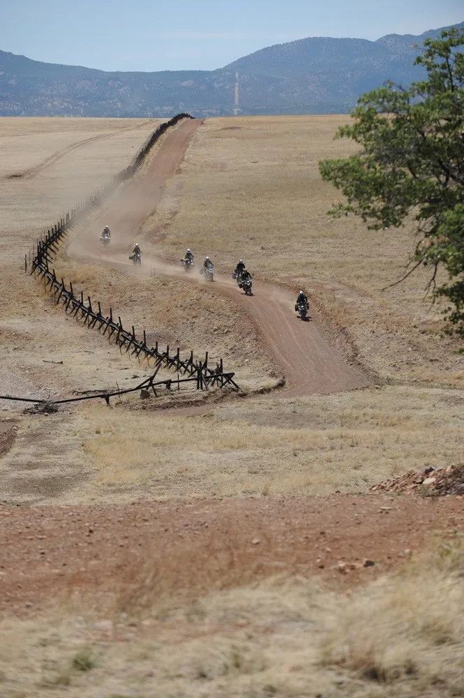
Rocky, remote and majestic are three words that come to mind for Arizona. Blessed with a surprising number of mountain ranges, the Arizona BDR is more green and mountainous than many people expect. Starting on the US/Mexico border, the 750- mile route stays east of Tucson and Phoenix and explores the historic Empire Ranch, Mogollon Rim, Saguaro Cactus Forests, Navajo Nation, wild horses, Vermillion Cliffs and options to see the Grand Canyon from vantage points most people never see.
Best time of year: April through June and Late September/October. July and August have very high temperatures and should be avoided. August is also monsoon season and is not a good time to ride the route.
Additional Route Information
IMPORTANT: . As of March 2026 there are THREE permits required to complete the AZBDR.
See the FAQ below for more information on the required permits.
Visit the Forest Service Website for current information on forest closures and fire restrictions in the Coconino National Forest.
Arizona BDR
Rocky, remote and majestic are three words that come to mind for Arizona. Blessed with a surprising number of mountain ranges, the Arizona BDR is more green and mountainous than many people expect. Starting on the US/Mexico border, the 750- mile route stays east of Tucson and Phoenix and explores the historic Empire Ranch, Mogollon Rim, Saguaro Cactus Forests, Navajo Nation, wild horses, Vermillion Cliffs and options to see the Grand Canyon from vantage points most people never see.
Best time of year: April through June and Late September/October. July and August have very high temperatures and should be avoided. August is also monsoon season and is not a good time to ride the route.
Additional Route Information
IMPORTANT: . As of March 2026 there are THREE permits required to complete the AZBDR.
See the FAQ below for more information on the required permits.
Visit the Forest Service Website for current information on forest closures and fire restrictions in the Coconino National Forest.
1. USA-Mexico Border to Benson
USA-MEXICO BORDER TO BENSON – 128 miles The official start to the AZBDR is a stones throw from the Mexico border in the Coronado National Monument. This is an interesting area both geographically and historically. It is the center of four major biogeographic provinces: Madrean, Sonoran, Chihuahuan and southern Rockies/Mogollon. It is also the site of the Francisco Vásquez de Coronado Expedition of 1540-1542. Information about both can be found at the interpretive overlook a few miles from the park entrance. From there, it’s a mellow ride along the border fence using wide graded dirt roads before heading north to the small town of Sonoita. Fuel up here for your journey through Empire Ranch, a historic working cattle ranch from the 1870s.
2. Benson to Globe
BENSON TO GLOBE – 127 miles Heading north out of Benson will bring you through stunningly fertile farm lands along San Pedro River. The road is wide and hard packed with no major obstacles. It’s a straight shot up to the small town of Mammoth where you can fuel up. Shove a pack of homemade tortillas in your pannier, the tiny Mexican restaurant next to the gas station in Mammoth makes them hot and fresh and they are possibly the best we ever tasted. From Mammoth you will parallel the highway on a narrow dirt road on your way to Winkelman. The ride from Winkelman to Globe can be on paved Hwy 77 or an ALT Harder section over Pioneer Pass (6,154’). Cactus filled desert disappears into high elevation pine forests if you ride the stunning ridges over the pass.
3. Globe to Young
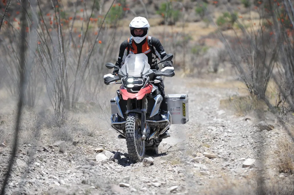
GLOBE TO YOUNG – 85.7 miles This is a remote section as you transition from low desert to expansive pine forest. Once you get north of Roosevelt Lake, the road turns from pavement to a wide two-lane gravel road with plenty of camping spots among the giant cacti. Ride a little further towards Coon Creek and Cherry Creek for even better campsites tucked under cottonwood trees along the water. Once you turn on FR202, you’ll begin the climb from desert to pines, with rocky terrain and stunning vistas. An optional Harder section includes primitive overgrown two-track, switchbacks, and stunning high-desert terrain all the way to Young. Highway 288 is an optional bypass with a mix of gravel and pavement that will bring you into Young from the south and is recommended during adverse weather.
4. Young to Winona
YOUNG TO WINONA – 135 miles The saguaro cactus and dry deserts make way to ponderosa pine, towering cliffs and dramatic canyons in Section 4. You get a sense for this change almost immediately as the road climbs onto the Mogollon Rim, an escarpment that marks the edge of Colorado Plateau. You can expect a reasonable amount of weekend camping traffic early in this section but expect to see fewer people the further north you go. The route meanders north through one of the largest pine forests in the world, with ample camping opportunities. Fuel and supplies are available in nearby Clints Well. The terrain near Long Lake and Kinnikinick Lake can be quite rocky, with one optional Harder section and incredible views of the San Francisco Peaks in the distance.
5. Winona to Cameron
WINONA TO CAMERON – 125 miles Section 5 has much different terrain than southern Arizona. The first few miles intersect fast roads made mostly of hard packed volcanic sand with ancient volcanic cones scattering the landscape. The most impressive is Sunset Crater which you will ride right past. Explore this area and take a detour to the impressive Wupatki National Monument ruins. There are several options to get a peek into the Grand Canyon. You can take the optional track which will bring you to some of the more popular canyon overlooks inside the National Park, or you can visit one of the overlooks just outside of the park boundary along Highway 64 on the way to Cameron. Make sure and pick up your Navajo Nation permit once you arrive in Cameron as you’ll need it for the next section.
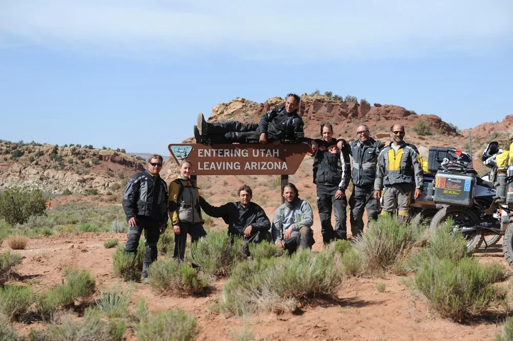
6. Cameron to Utah Border
CAMERON TO UTAH BORDER – 153 miles You are about to enter the Navajo Nation, one the most iconic sections of the AZBDR. This is a wild and untouched part of our country and while visiting here is welcomed, it is a delicate matter, PLEASE respect the land and its people. Stay on posted roads and keep speeds down. The roads are wide and nicely graded with no major technical spots to speak of but keep your eyes open for wild horses and packs of dogs around the modest homes dotting the countryside. Once you leave the Navajo Nation you’ll have a short jaunt on pavement before finishing your expedition on 13 miles of fun, mellow dirt roads through Vermillion Cliffs National Monument.
Interactive map preview
Open the full map for layers, filters, and route planning tools.
Open full mapYour next adventure starts here
Create your own maps with custom routes, waypoints, and layers. Then share with your friends to kick off your adventure planning.
