Ozarks, Arkansas BDR-X
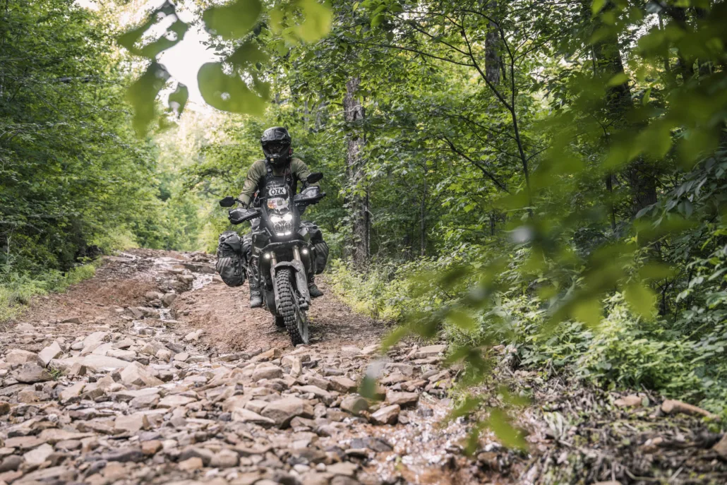
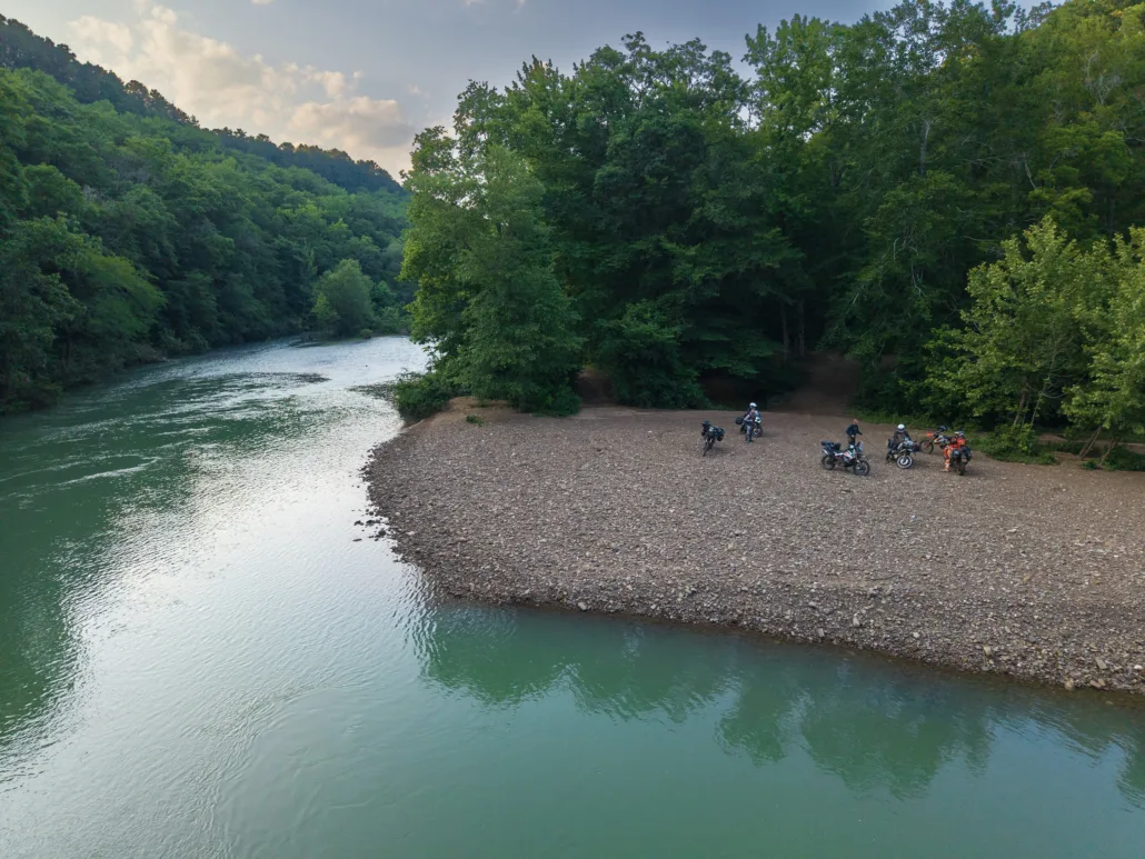
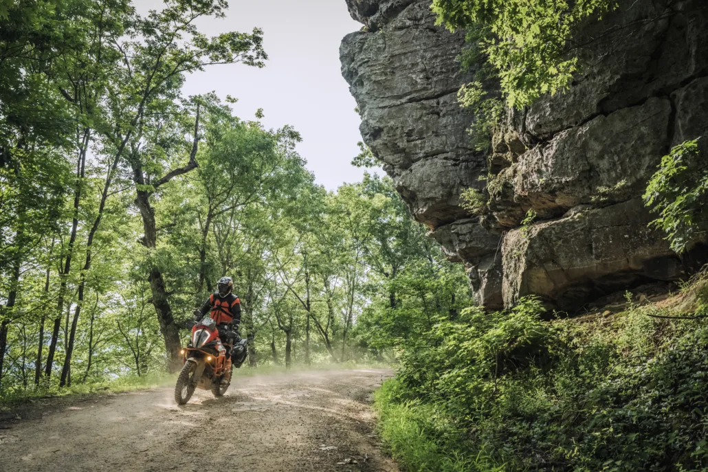
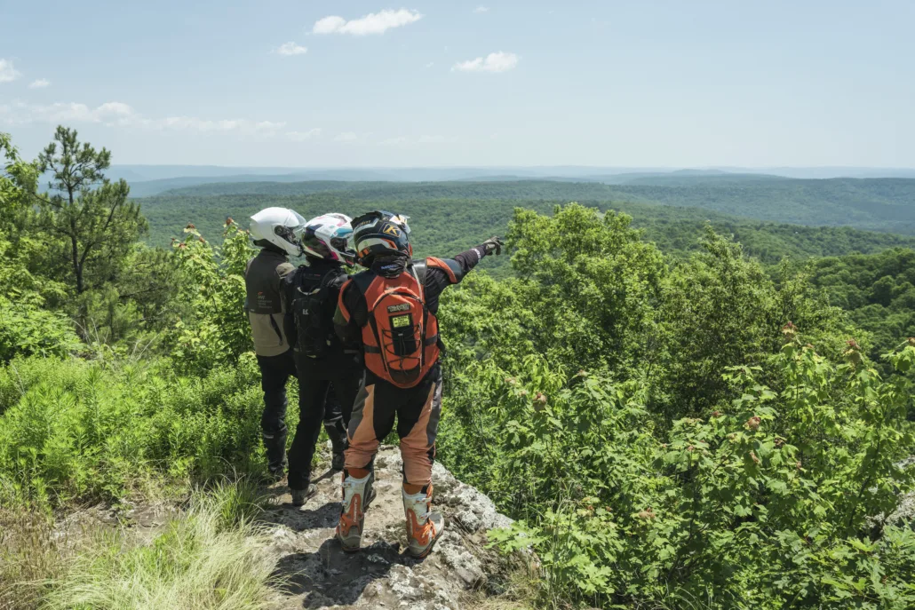
The Ozarks BDR-X is a 480-mile backcountry adventure route through the Ozark–St. Francis National Forest in northwest Arkansas. Riders will experience some of the very best riding in The Natural State, traveling through dense, lush forests, crossing pristine rivers, passing towering rock cliffs, and carving through scenic twisty pavement.
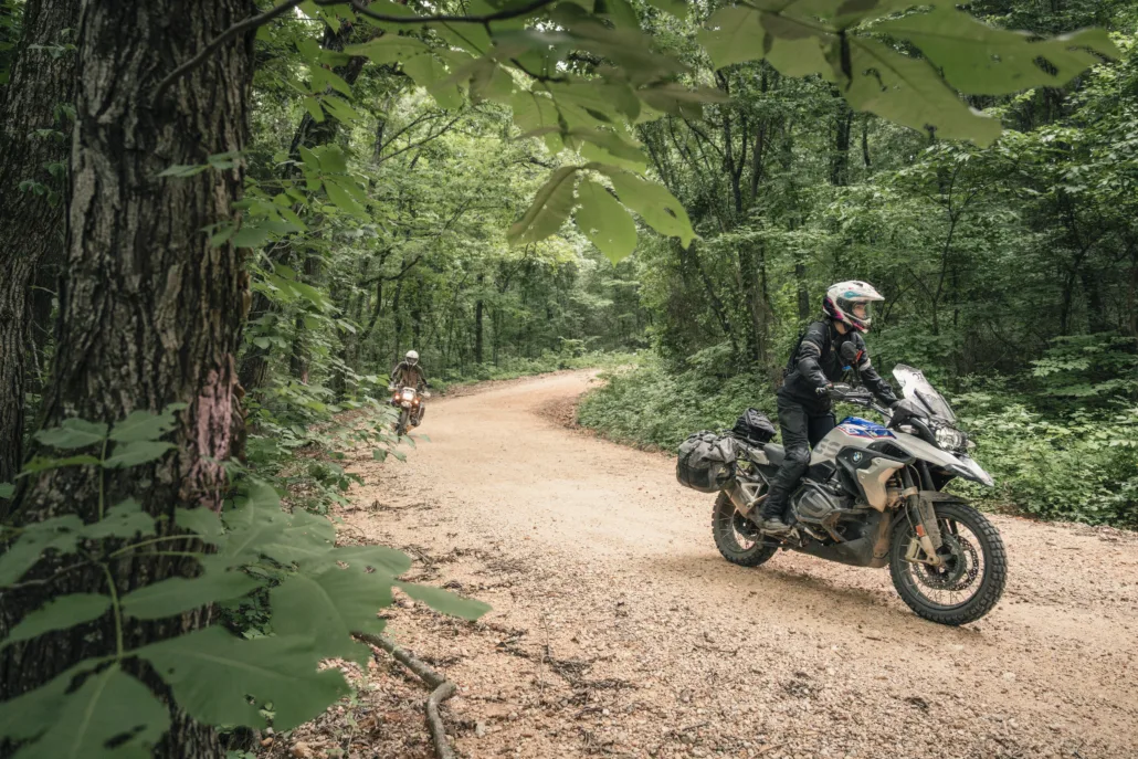
Carefully designed for adventure and dual-sport riders, this highly anticipated route features flowing dirt roads, primitive two-track, dozens of water crossings, and 8 optional advanced sections, the most of any BDR route to date.
Riders throughout Arkansas, Missouri, Oklahoma, and the greater Midwest now have a world-class adventure route right in their backyard.
Thank you to the Presenting Sponsors, All Terra by Alpinestars and Moto Camp Nerd. Additional support was provided by Mach 1 dealership and So Live So Ride Moto Ranch.
ATTENTION: Since the map was printed, we have re-ridden the route and made several updates. Please visit the Route Updates page for detailed information before your trip. These changes are included in the current GPS tracks available for download, but are not reflected on the printed map, as they were made after it went to print.
Ozarks, Arkansas BDR-X
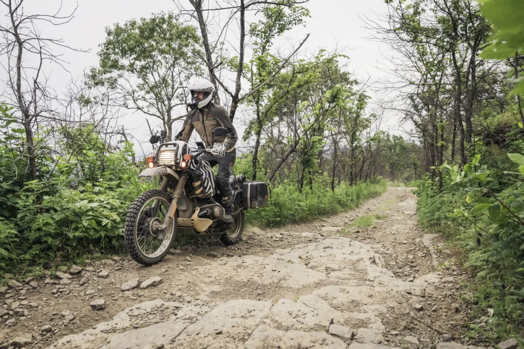
The Ozarks BDR-X is a 480-mile backcountry adventure route through the Ozark–St. Francis National Forest in northwest Arkansas. Riders will experience some of the very best riding in The Natural State, traveling through dense, lush forests, crossing pristine rivers, passing towering rock cliffs, and carving through scenic twisty pavement.
Carefully designed for adventure and dual-sport riders, this highly anticipated route features flowing dirt roads, primitive two-track, dozens of water crossings, and 8 optional advanced sections, the most of any BDR route to date.
Riders throughout Arkansas, Missouri, Oklahoma, and the greater Midwest now have a world-class adventure route right in their backyard.
Thank you to the Presenting Sponsors, All Terra by Alpinestars and Moto Camp Nerd. Additional support was provided by Mach 1 dealership and So Live So Ride Moto Ranch.
ATTENTION: Since the map was printed, we have re-ridden the route and made several updates. Please visit the Route Updates page for detailed information before your trip. These changes are included in the current GPS tracks available for download, but are not reflected on the printed map, as they were made after it went to print.
1. Jasper to Deer
JASPER TO DEER – 91 miles Enjoy a cozy stay in the quaint town of Jasper, nestled along the Buffalo National River, America’s first designated free-flowing, undammed river, before embarking on this incredible adventure. The route hits fun primitive dirt roads dropping steadily to the valley below where if the water level allows, you can cross a concrete low bridge at the Buffalo River to access the historic Parker-Hickman farmstead. Erbie Road twists and turns west, leading to a great stretch of pavement into the town of Ponca where you can refuel and resupply. The first optional ALT Harder track starts here as the main route diverts around, reconnecting with a nice stretch of flowy gravel roads. Two more ALT Harders are available, while the main route passes the iconic Hawksbill Crag hiking trail followed by a blissful stretch of primitive forest roads and a concrete low bridge crossing that can be impassable when high. Take a short hike to the scenic Alum Cove Natural Bridge before arriving in Deer. This small town has no lodging and fuel is unavailable Sundays, so riders may elect to ride 20 min back to Jasper for a second nights’ stay.
2. Deer to Mountainburg
DEER TO MOUNTAINBURG – 130 MILES Advanced riders can tackle the first ALT Harder, reconnecting with the main route along the majestic Big Piney Creek. This next stretch is a highlight and features ruts, rocks, creek crossings, and the potential for mud, along with great dispersed camping options. Blissful gravel roads lead to County Road 26, a splendid primitive road with yet another crossing of the Big Piney Creek. Take a spin up to Devil’s Knob for incredible views before a short stretch of nice pavement. Then, you can detour into Oark for gas and food if needed, and take the optional harder section if you’re up for a big challenge while the main route continues on forest roads past the Spoke Plant Hollow overlook. Fly Gap Road meanders through the dense woods, giving way to open valley vistas as you make your way west, connecting to tighter forest roads, past Lake Fort Smith and into the town of Mountainburg. This quaint town has food and gas, and lodging can be found off-route in nearby Alma.
3. Mountainburg to Oark
MOUNTAINBURG TO OARK – 103 MILES Departing Mountainburg, the main route climbs via pristine twisty pavement, connecting to flowy dirt roads as you cruise along Hurricane Creek Rd. White Rock is a must see, featuring cabins, camping, and spectacular views with a nice general store (day use fee required). Meander through the dense forest on amazing dirt roads and twisty pavement as you spin past Shores Lake with a great overlook. Apple Tree Rd is a great stretch of dirt passing by a picture-worthy rock arch before you cross the bridge over the Mulberry River into Turner Bend for fuel and supplies. The final stretch of Section 3 features flowy gravel roads and nice pavement past Horsehead Lake, followed by a rocky climb heading north, with scenic Hwy 103 leading to the small town of Oark. This legendary general store features fuel, supplies, and the best home cooking around. Aside from a few cabin rentals, there is no lodging here, so riders may wish to plan for traditional lodging off-route in Ozark or Clarksville.
4. Oark to Jasper
OARK TO JASPER – 157 MILES The fun continues through a highlight section of the route featuring a series of primitive, rocky, and rustic forest roads with numerous creek crossings as you make your way toward Ozone. Riders can stop at Red Lick for fuel and supplies, while an ALT Harder section awaits, rejoining the main route near the impressive Strawberry Bluffs viewpoint. Enjoy a short stretch on Hwy 123 and another optional challenge section as the main route follows twisty gravel roads to Pilot Knob, the final ALT Harder on this route. Through a continuous stretch of flowy paved and gravel roads, join North Fork Road as you make your way through the Richland Creek Wilderness, a beautiful stretch of pristine forest with multiple waterfalls. After a short run on tight two-track, the route tops out again on Hwy 123 as you descend the incredible Arkansas Dragon Switchbacks into Mt. Judea where food and fuel are available. Interspersed pavement and dirt bring the final miles to a close as you descend into Jasper for the completion of an epic adventure.
Interactive map preview
Open the full map for layers, filters, and route planning tools.
Open full mapYour next adventure starts here
Create your own maps with custom routes, waypoints, and layers. Then share with your friends to kick off your adventure planning.
