California South BDR
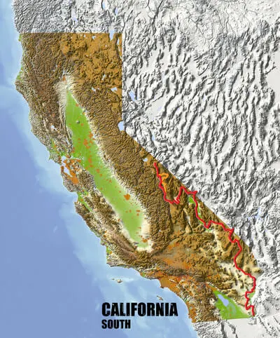

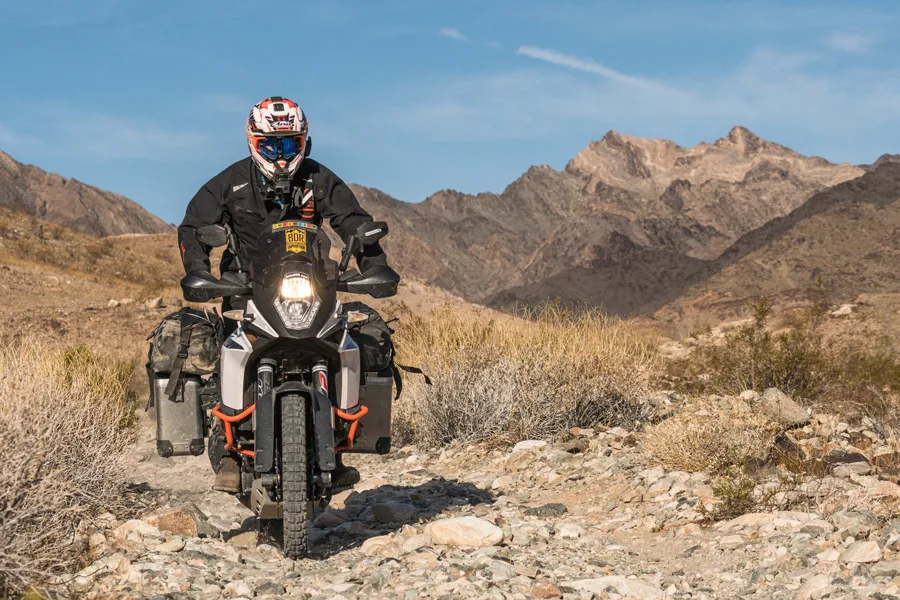
The long awaited Southern-California BDR (CABDR-South) is the ninth route developed by the BDR organization for dual-sport and adventure motorcycle travel.
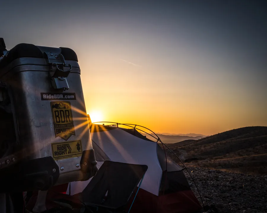
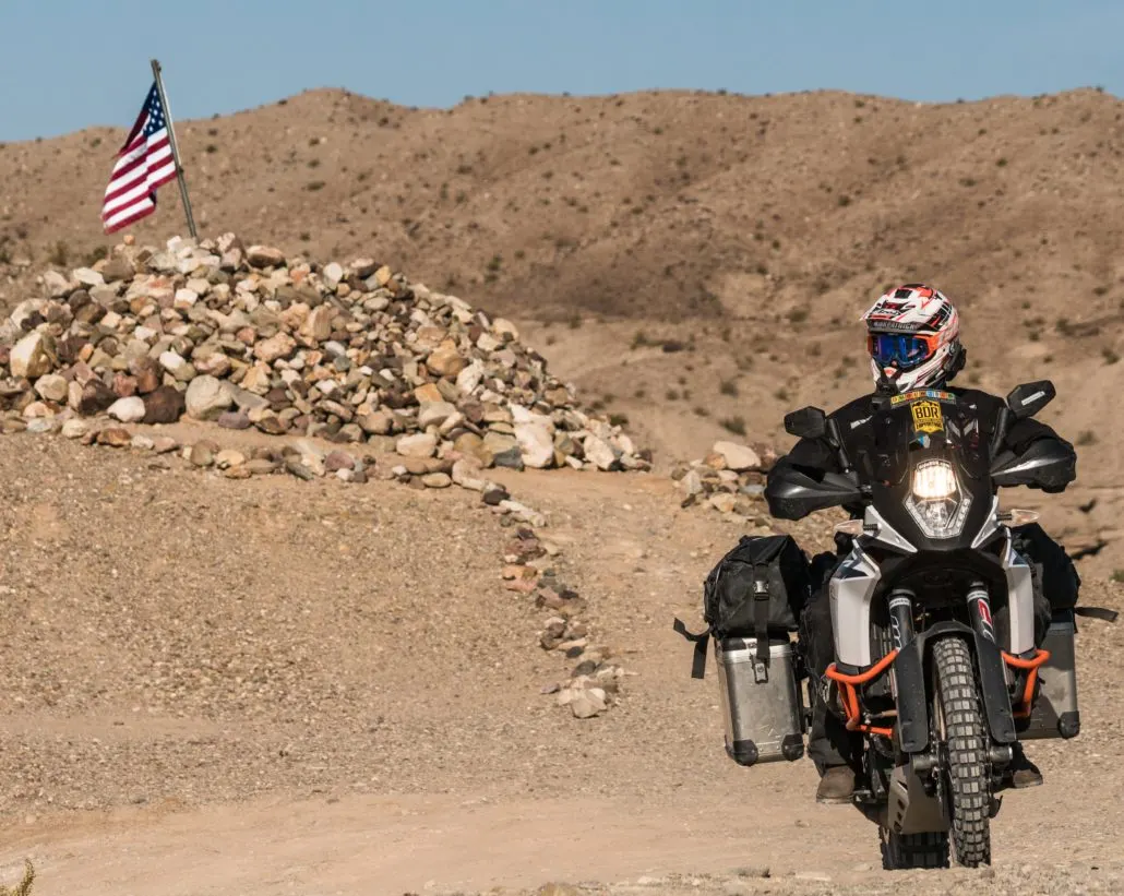
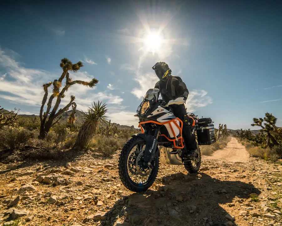
Take a spectacular, yet challenging 840-mile ride across the south-eastern region of California. Rugged two-track and remote dirt roads lead riders through majestic canyons, rocky riverbeds, and sandy washes of California’s famous deserts and national preserves, including a dream ride in the Mojave Preserve and Death Valley National Park. This is the first BDR designed for winter-season riding.
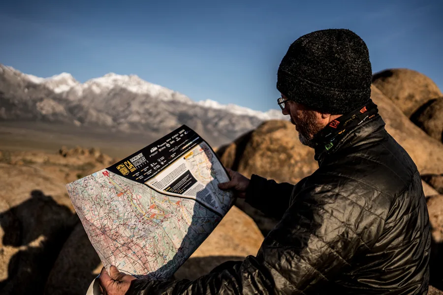
Click below to view the film for free on our YouTube channel. The BDR Map is available for sale in the BDR Store HERE
In the links above, you will also find an interactive map with section descriptions and the FAQ for the route.
California South BDR
The long awaited Southern-California BDR (CABDR-South) is the ninth route developed by the BDR organization for dual-sport and adventure motorcycle travel.
Take a spectacular, yet challenging 840-mile ride across the south-eastern region of California. Rugged two-track and remote dirt roads lead riders through majestic canyons, rocky riverbeds, and sandy washes of California’s famous deserts and national preserves, including a dream ride in the Mojave Preserve and Death Valley National Park. This is the first BDR designed for winter-season riding.
Click below to view the film for free on our YouTube channel. The BDR Map is available for sale in the BDR Store HERE
In the links above, you will also find an interactive map with section descriptions and the FAQ for the route.
1. Yuma, AZ to Blythe, CA
Yuma, AZ to Blythe, CA – 120 Miles The CABDR-S starts in Yuma, AZ along the Colorado River. Spend a little extra time to visit the Territorial Prison State Historic Park and Museum, and old downtown has some great places to eat and stay. The route heads north and can be very sandy near Picacho State Rec Area depending on the season. There is an optional bypass available which remains on pavement to skip this area if you’re not up for sand right out of the gate. Continuing on, beautiful primitive dirt roads take you north, including a portion of the historic Bradshaw Trail and into Blythe.
2. Blythe, CA to Desert Oasis, CA
Blythe, CA to Desert Oasis, CA – 122 miles Parallel the Colorado River as you make your way north from Blythe, and take a stop at the fascinating Blythe Intaglios which were discovered in 1931. These giant pieces of art are similar to the Nazca Lines in Peru and the shapes are believed to have been formed prior to 900 AD. There is an optional Harder section here that takes you into a short, but technical and remote portion of the rugged California desert. After traveling through this desolate wilderness area, Highway 62 passes structures of times long since past including the “Shoe Tree” before joining Cadiz Road which connects to the “Mother Road”, better known as Historic Route 66. The end of this section is at the “Desert Oasis” gas station. However, this isn’t your typical gas station . . . you’ll just have to see it to believe it. Be warned, the gas isn’t cheap but it’s necessary.
3. Desert Oasis, CA to Primm, NV
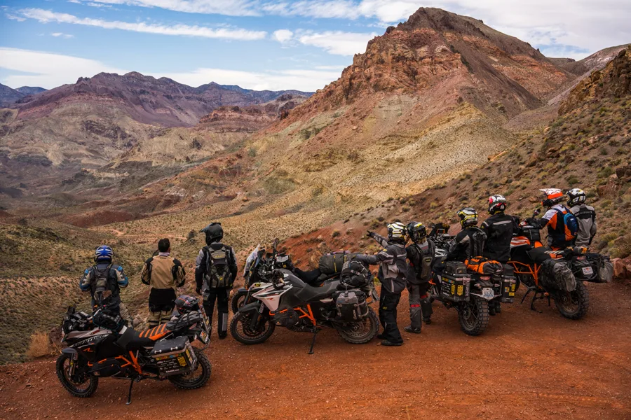
Desert Oasis, CA to Primm, NV – 94 Miles When entering the Mojave Preserve, take a stop at the Goffs Schoolhouse and Cultural Center. This unique place at one point housed 16,000 troops during WWII and has preserved old railroad and mining artifacts for you to visit. Further on, you will enter the Granite Mountains. These granitic rocks have eroded into unusual rounded shapes that include spires, perched boulders and curved cliff faces. Some of the sites along the route include the Government Holes, which were wells dug so people traveling across the Mojave would have access to water. The Death Valley Mine, Evening Star Mine and WWI Memorial will all be places you’ll want to stop and explore. Riding the two tracks in the midst of the Joshua Trees will keep you on your toes and is an experience you can only get in the Mojave Desert. This section ends in the small gambling town of Primm, NV, which is also one of the touch points of the NVBDR.
4. Primm, NV to Shoshone, CA
Primm, NV to Shoshone, CA – 76 Miles Fueled and full of supplies, you leave Primm and pass through the middle of the Ivanpah Solar Electric Generating System. This monstrosity is a 377 megawatt solar complex using mirrors to focus the power of the sun atop power towers. The first big technical climb comes just after Ivanpah up to the Colosseum Mine. This rocky steep climb has gradually gotten less technical over the years but is still somewhat challenging.Travel along the Powerline Road to Excelsior Mine Road, which leads you into the Kingston Range. You can find several BLM camping areas along the road. Take the optional track for Mesquite Valley for yet another advanced option. Nearing Tecopa, don’t miss the opportunity to stop at the China Ranch for one of their famous date shakes. The small town of Tecopa is the home to many unique hot springs to stay at, and food, fuel and basic lodging can be found in the town of Shoshone with more options in nearby Pahrump, NV.
5. Shoshone, CA to Beatty, NV
Shoshone, CA to Beatty, NV – 141 Miles The Ibex dunes will be your first taste of dirt as you enter Death Valley. You will find a short stretch of dune-type sand to get your heart racing. Harry Wade Road crosses the heart of Death Valley, connecting to Westside Road. You can take a few detours and ride the Artists Palette Loop, 20 Mule Team Road, and Badwater Basin, the lowest elevation in the USA at 282 feet below sea level. Furnace Creek and Stovepipe Wells offer camping, lodging, food and fuel. If you plan to stay here, reservations ahead of time are suggested. From here, take the optional Advanced track over Chloride Cliffs for a series of challenging climbs with rewarding views or remain on pavement to Beatty, NV.
6. Beatty, NV to Lone Pine, CA
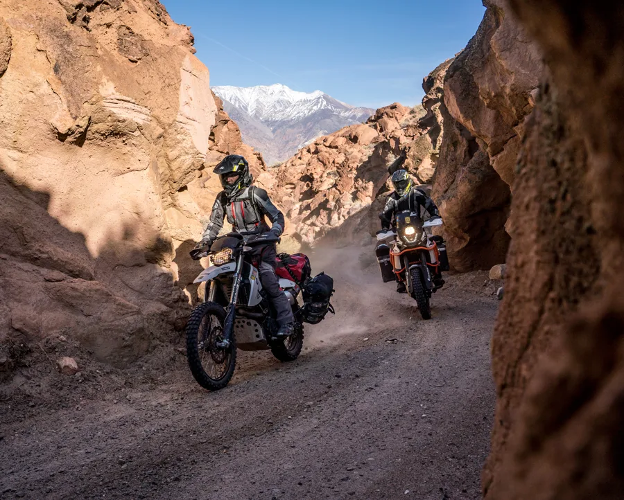
Beatty, NV to Lone Pine, CA – 153 Miles The start of this section takes you into Titus Canyon, a deep limestone-walled slot canyon and a must see. This road travels in a one-way direction past the ghost town of Leadfield, which boomed for less than a year in 1926. Stop at Ubehebe Crater before starting the road to the famous Teakettle Junction. At the junction you can travel six more miles to the Racetrack to see the ‘moving’ rocks on the Playa, then backtrack on the main route over Hunter Mountain. The optional advanced section down Lippincott Pass and is not for the faint of heart. This steep, rocky and off-camber descent will get your attention and the views down into the Saline Valley floor are incredible. The next optional advanced section is a steady climb through a deep rock wash and two-track up to 8,000 ft at Cerro Gordo Mine. Riders on the main route can take an out-and-back ride up to the mine; it’s worth the effort to see before reaching Lone Pine.
7. Lone Pine, CA to Benton, CA
Lone Pine, CA to Benton, CA – 138 Miles Traveling through the Alabama Hills is a highlight of the CABDR-S. These unique rock formations were chosen for the set of many old western movies along the base of Mt. Whitney. Manzanar National Historic Site features an incredible museum at the site where in 1942, the United States government ordered more than 110,000 people of Japanese descent to leave their homes and detained them in remote, military-style camps. The main route remains on the valley floor crisscrossing the valley and the foothills up to Bishop, with two consecutive advanced tracks. First up Mazourka Canyon to Papoose Flats, with a short descent into Wyman Canyon where you cross a creek several times to a lookout of the entire valley. The Silver Canyon descent will test your steep downhill skills, so make sure you take it easy and don’t cook your brakes before stopping in Bishop, another great town to stay in. The final stretch of the CABDR is an easy road passing by a massive collection of Petroglyphs at the Fish Slough site. Chidago Canyon appears and gives you a final taste of a slot canyon before coming to the final stretch. Plan to stay at the historic Benton Hot Springs.
Interactive map preview
Open the full map for layers, filters, and route planning tools.
Open full mapYour next adventure starts here
Create your own maps with custom routes, waypoints, and layers. Then share with your friends to kick off your adventure planning.
