Black Hills, South Dakota BDR-X
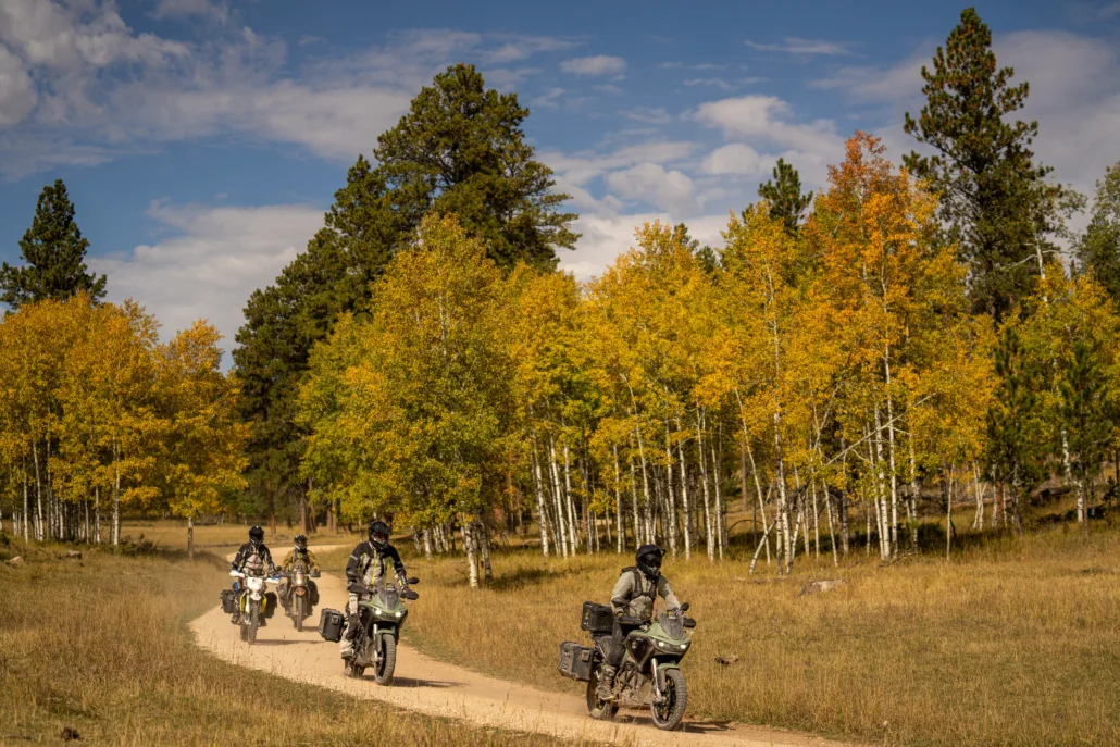
The Black Hills BDR-X is the perfect introduction to a BDR in the midwest. With striking landscapes ranging from wide-open prairie, dense pine forests, and tall aspen trees, this 350 mile route encompasses all the elements for your next adventure.
Enjoy a plethora of gravel and dirt roads, challenging two-track, and some of the best pavement you’ve ever ridden as you make way through historical towns in an area that shaped the west.
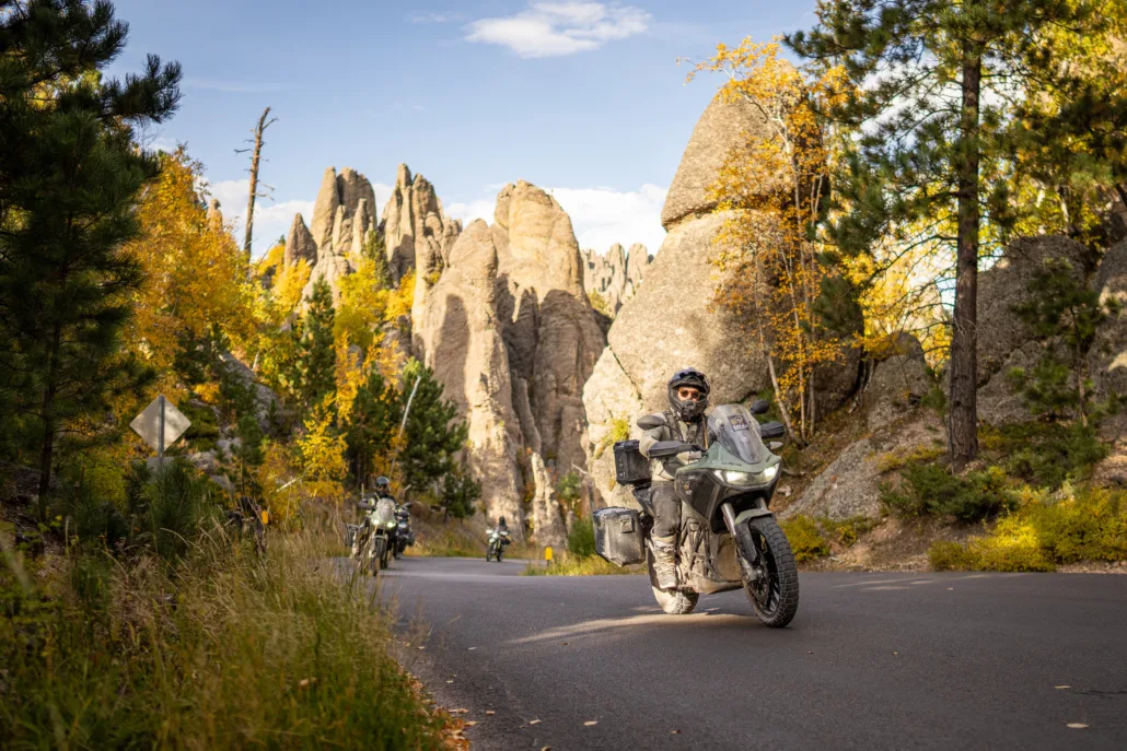
Mount Rushmore, Needles Highway, Iron Mountain Road, Spearfish Canyon, Cement Ridge Lookout Tower, and the Custer Wildlife Loop are some of the many incredible features dotting the landscape of this scenic route.
Black Hills, South Dakota BDR-X
The Black Hills BDR-X is the perfect introduction to a BDR in the midwest. With striking landscapes ranging from wide-open prairie, dense pine forests, and tall aspen trees, this 350 mile route encompasses all the elements for your next adventure.
Enjoy a plethora of gravel and dirt roads, challenging two-track, and some of the best pavement you’ve ever ridden as you make way through historical towns in an area that shaped the west.
Mount Rushmore, Needles Highway, Iron Mountain Road, Spearfish Canyon, Cement Ridge Lookout Tower, and the Custer Wildlife Loop are some of the many incredible features dotting the landscape of this scenic route.
1. Keystone to Spearfish
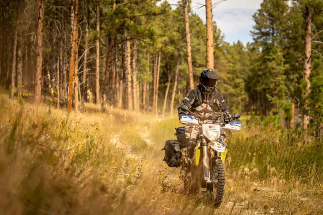
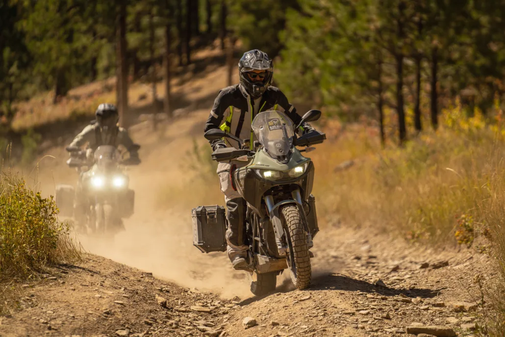
Keystone to Spearfish – 93 Miles Start your adventure in Keystone, SD, a great place to explore the many tourist attractions before departing on your journey. Almost immediately, you’ll be greeted with a rugged stretch of dirt road through tall pine forests. Meandering through the woods, top out at Pactola Reservoir for a great view before getting back on the dirt. After a short section on primitive two-track, the route continues on and off pavement as you get even deeper into the Black Hills. Take a rest at the Nemo Country Store for gas and a snack, then enjoy a mixture of fast, flowing gravel roads into the historic mining towns of Lead and Deadwood. Famous for wild west lawlessness and the town where Wild Bill Hickok was killed on August 2, 1876, Deadwood offers great lodging and cuisine on the historic downtown main street. Take a spin up to the Mt. Roosevelt Friendship Tower where a short hike will take you to incredible views of the tower before dropping back to Deadwood. Your final stretch north includes gravel switchbacks and rustic homes before settling into the town of Spearfish, with multiple opportunities for food, fuel, and lodging and another convenient access point to the route.
2. Spearfish to Hill City
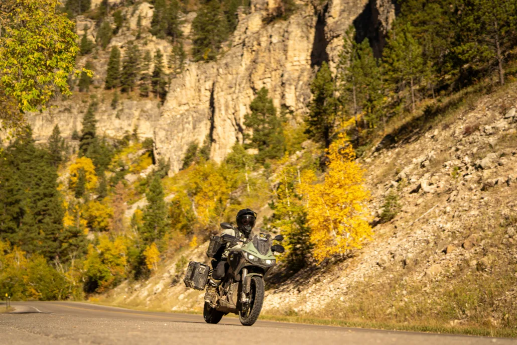
Spearfish to Hill City – 104 Miles Immediately after leaving Spearfish, get ready for one of the best stretches of pavement in the country. Spearfish Canyon Road twists and turns as it meanders along the creek amidst towering cliffs and waterfalls, and is particularly scenic in the fall. Stop at Spearfish Canyon Lodge for fuel and a bite to eat, hike to the waterfalls, or extend your first day and stay here for the night. Back on the dirt, this next section passes through towering canyon walls, famously known as the filming location for the final scene in Dances With Wolves, and features a scenic stop at Roughlock Falls. After making your way through the canyon amidst endless aspen forests, take the scenic climb up to Cement Ridge lookout tower; welcome to Wyoming! After admiring the view, the route takes you back down the hill through expansive pine forest before swinging by the Trailshead Lodge, another great stop for food, fuel or even a place to stay. You’ll quickly get back on the dirt heading south through flowing gravel, then an optional advanced section features a short rocky downhill through Whitetail Peak Road followed by an area prone to deep ruts that are particularly challenging when wet. Take a quick detour to the Rochford Mall for a sarsaparilla before continuing through a fantastic road alongside the creek, past the Castle Creek campground and the nearby ghost town of Mystic. The final stretch is full of beautiful forest roads and endless scenery along creeks and lakes. Be sure to take a side trip to the viewpoint overlook before descending into Hill City.
3. Hill City to Keystone
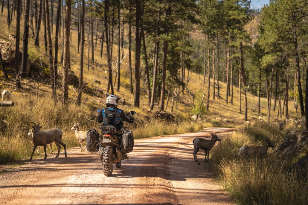
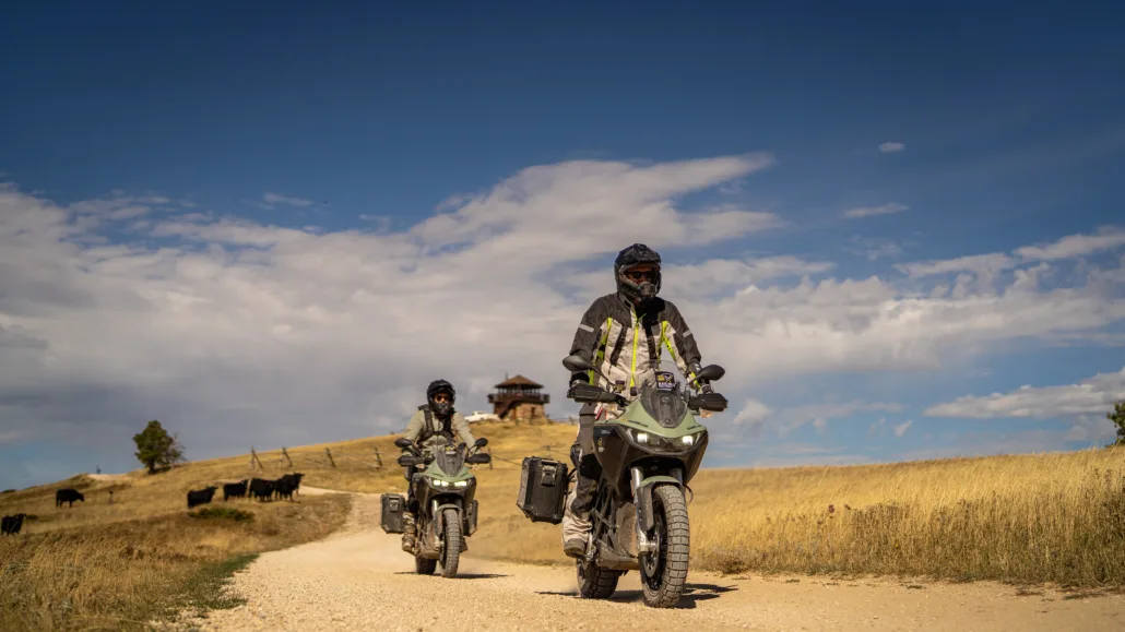
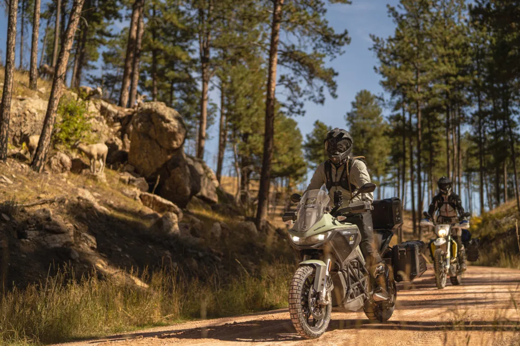
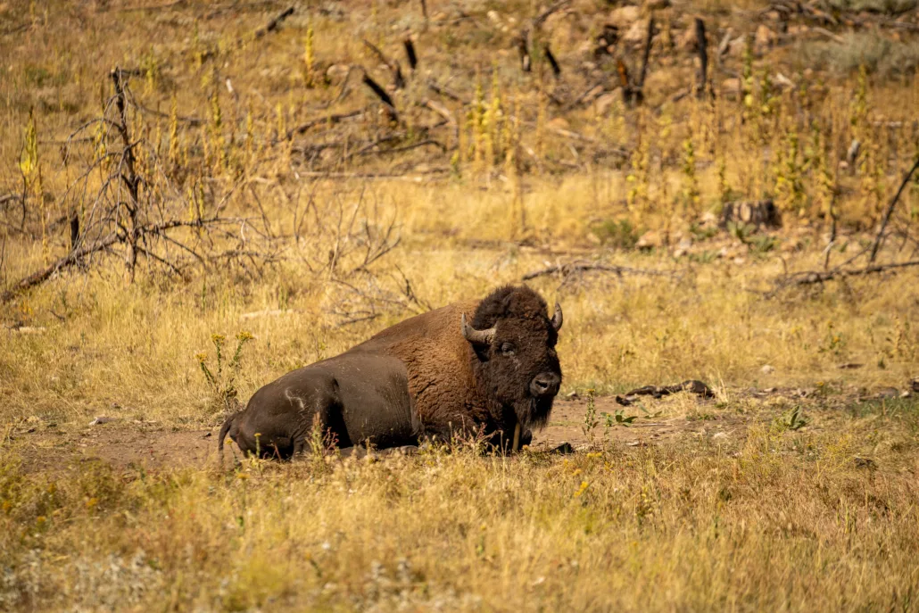
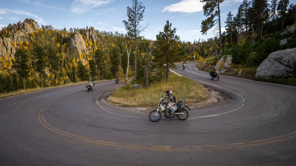
Hill City to Keystone – 156 Miles Section 3 starts in the town of Hill City, yet another iconic South Dakota town featuring great restaurants and attractions. You’ll quickly get onto dirt after leaving town, where the route gives you the option to take the harder track up Bear Mountain or stay on the main route. Bear Mountain is a rocky and tight stretch of two-track with a constant climb through dense aspen forests, and would be particularly challenging when wet. The reward as you summit is Bear Mountain lookout tower, where you can climb to the top for great views. If you take the main route, you can backtrack to the tower on gravel, the views are well worth it. Heading south and even further into the National Forest, this next stretch is full of fast gravel roads, before turning into some of the most remote sections of overgrown two-track roads, a highlight section on the route. Passing through Pringle, head east and stop at Wind Cave National Park before the route takes you north. As you enter this area of the Hills, you’re now in Custer State Park territory and will need a park pass. Grab one at the entrance station before starting the Wildlife Loop where you’re sure to see bison, burros, and even bighorn sheep on this great stretch of pavement and prairie dirt roads. Stop at Blue Bell Lodge for gas and a great burger, and get ready for some of the best pavement in the country! After a few stretches on and off gravel, the remaining part of the route is all paved, and includes the iconic Needles Highway, a stop at Mount Rushmore, and the grand finale on Iron Mountain Road as you ride back to Keystone.
Interactive map preview
Open the full map for layers, filters, and route planning tools.
Open full mapYour next adventure starts here
Create your own maps with custom routes, waypoints, and layers. Then share with your friends to kick off your adventure planning.
