South East BDR
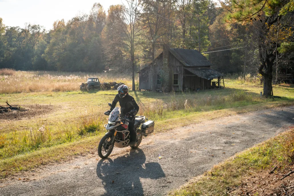
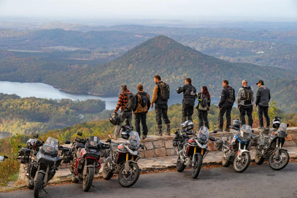
The SEBDR is the 14th route in the BDR series of cross-state dual-sport motorcycle adventures.
Spanning approximately 1,300 miles through the diverse and stunning landscapes of the South East, the route starts at the Gulf of Mexico in Florida, travels across the Florida panhandle and winds its way through the Appalachian Mountains in Alabama, North Georgia, Tennessee, and North Carolina, before concluding in Damascus, Virginia, where it connects to the Mid-Atlantic BDR.
The SEBDR marks a significant milestone for BDR, completing the East Coast Trilogy —three interconnected eastern BDRs that create an epic route from the Gulf of Mexico to the Canadian border.
South East BDR
The SEBDR is the 14th route in the BDR series of cross-state dual-sport motorcycle adventures.
Spanning approximately 1,300 miles through the diverse and stunning landscapes of the South East, the route starts at the Gulf of Mexico in Florida, travels across the Florida panhandle and winds its way through the Appalachian Mountains in Alabama, North Georgia, Tennessee, and North Carolina, before concluding in Damascus, Virginia, where it connects to the Mid-Atlantic BDR.
The SEBDR marks a significant milestone for BDR, completing the East Coast Trilogy —three interconnected eastern BDRs that create an epic route from the Gulf of Mexico to the Canadian border.
1. Navarre FL to Evergreen AL
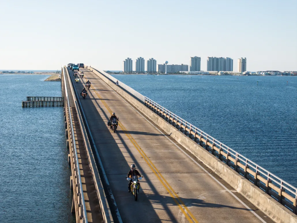
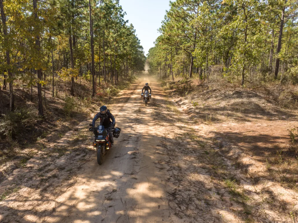
NAVARRE FL TO EVERGREEN AL – 128 MILES Begin your journey departing Navarre Beach, FL at the sugar white sands and gentle waves of the Gulf of Mexico. The first 35 miles are smooth pavement through Eglin Air Force Base before beginning a network of sand and jeep roads. Watch for the occasional short but deep sandy sections on the route. The low lying and seasonally swampy area in Florida’s Blackwater State Park can include deep and slippery mud holes, usually best skirted along the edges. After entering Alabama the route meanders through Conecuh National Forest and continues northward. A scenic network of farmland and paved roads continues to the section end in the small town of Evergreen, AL. Gas and lodging are available and we recommend a visit to the Conecuh Sausage factory store.
2. Evergreen AL to Selma AL
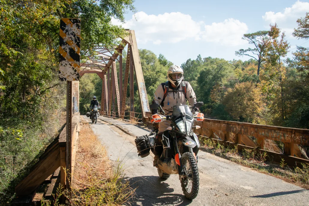
Evergreen AL to Selma AL – 95.3 miles Depart Evergreen on sand and clay roads through farmland and wooded forests. Soon you’ll arrive at Anderson Stage Stop on the original Federal Stagecoach Road, which connected Washington DC to New Orleans in the 1800s. Soon the route passes through the quaint historic community of Pine Apple named for its pine forest and apple orchards. Continue on a mixture of farm roads and gravel before reaching Selma as you ride across the Edmund Pettus Bridge, historic site of civil rights marches for changes to voting rights for African Americans in the 1960s. The civil rights marchers met with violent resistance as they attempted to cross the bridge on a planned March to the Alabama state capital in Montgomery. The marches attracted worldwide attention, and public pressure led to the passage of the Civil Rights Act of 1964.
3. Selma AL to Sylacauga AL
Selma AL to Sylacauga AL – 170 miles Leaving Selma you will soon enter the Oakmulgee district of Talladega National Forest. The terrain becomes more rolling and the soil changes to a clay mixture which can become very slippery during rainy seasons. Stop at Heiberger Grocery for a true southern experience with its small lunchtime grill and adjacent deer processing operation. After some rolling and narrower jeep roads and a water crossing, continue eastward to Thorsby, AL. Following a series of rolling county roads, a prime stretch of dirt brings you to a historic fire tower atop 1,000-foot- high Flagg Mountain, signifying the southern beginning of the Appalachian Mountain Range. The nearby terminus of the Pinhoti Trail connects backpackers with the Appalachian Trail in Georgia. Leaving Flagg Mountain, you have the option of choosing an alternate harder section known as Red Sand Road with seasonally slippery mud trails and deep ruts before arriving in Sylacauga, AL.
4. Sylacauga AL to Cave Spring GA
Sylacauga AL to Cave Spring GA – 130 miles Leaving Sylacauga, the track follows a scenic twisting network of forest service roads in Talladega National Forest before the intersection of Skyway Road, an optional harder section with a long rocky climb and numerous scenic overlooks. Shortly after, pass by Cheaha State Park where you can ride up to Cheaha Mountain, the highest point in Alabama at 2,400 feet (park entrance fee required). The park has a store with access outside of the entrance gate. Look for the Cole Family Cemetery in Talladega National Forest with graves from the early 1800s and the Civil War era. At the end of Section 4 you’ll arrive at the historic community of Cave Spring, GA, site of one of the nation’s purest natural springs open to the public.
5. Cave Spring GA to Ellijay GA
Cave Spring GA to Ellijay GA – 141 miles The route heads due north from Cave Spring and the terrain gradually evolves from farmlands to rolling and rockier forest service roads near Summerville, GA. Jenkins Overlook is a fun out-and-back extension through tight two-track to an overlook with a decommissioned fire tower atop a steep ridge. Lightly-traveled secondary paved and dirt roads connect to Chattahoochee National Forest with fuel and services available in Chatsworth. The “Loyd’s Mountain” vintage fire truck offers an interesting photo opportunity just west of Mulberry Gap Adventure Basecamp, which caters to mountain bikers, hikers and adventure motorcyclists. Section 5 ends in the quaint north Georgia town of Ellijay, the starting point for the Chattahoochee BDR-X.
6. Ellijay GA to Tellico Plains TN
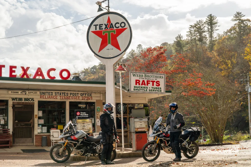
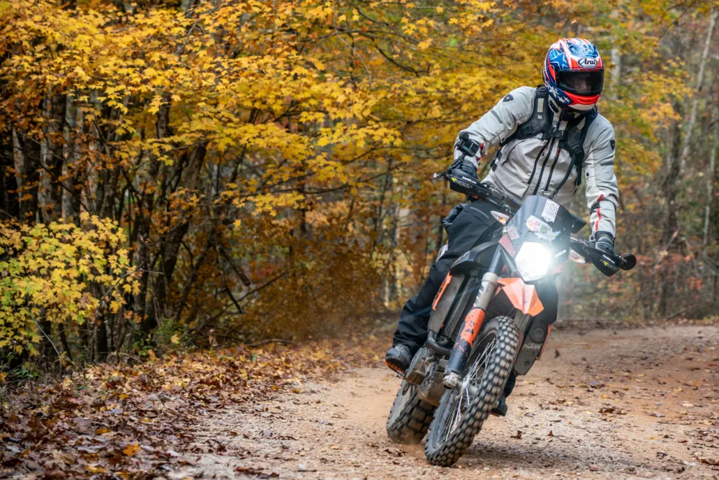
Ellijay GA to Tellico Plains TN – 126 miles Depart Ellijay with a full tank of gas as you reenter Chattahoochee National Forest and then Cohutta Wilderness. Note that portions of this and other sections are typically gated closed from January to mid-March. Scenic overlooks offer fantastic mountain views as riders climb above 3,000 feet approaching the Tennessee border in the forest. Tumbling Creek Road in Tennessee is rocky and steep, providing a moderate challenge as the track approaches the Ocoee River at TVA Powerhouse #3. Follow the contours of the raging Ocoee River along Hwy 64 before heading north on Oswald Road, featuring several spectacular overlooks. Webb Brothers store (typically closed from November through February) is a unique and historic stopover on a short detour with fuel and supplies. McFarland Road is a prime example of dense Tennessee forest riding and offers two interesting extension options: The historic small hydroelectric Apalachia Powerhouse and the ruins of an old cement plant constructed in the 1940s to help build the pipeline viaduct to the powerhouse. At 2,348 feet, Buck Bald is an easy gravel ride and offers a panoramic view of the surrounding mountains as you head north along the foothills of the Smoky Mountains. Witt Road is an alternate harder option offering multiple river crossings, some of which can be quite challenging due to the depth of the water and tricky embedded rock features. If you get your feet wet on Witt Road, the section ends shortly thereafter in the small, outdoor-oriented community of Tellico Plains, TN.
7. Tellico Plains TN to Maggie Valley NC
Tellico Plains TN to Maggie Valley NC – 165 miles Follow winding and picturesque River Road leaving Tellico Plains with photo opportunities at numerous whitewater rapids on the Tellico River before turning to dirt on Bald River Road. A series of flowy turns include and option to ride up to Mt Wauchessi lookout tower for impressive views. Follow Big Santeetlah Road across the North Carolina border near the paved twisty Cherohala Skyway and into Nantahala National Forest. The climb up and over Porterfield Gap leads to the community of Andrews, NC with gas and food available. See the start of the Nantahala River recreational whitewater area before climbing Winding Stairs Road leading to an Appalachian Trail crossing. Skirt the edge of Cherokee, NC and enter a network of Bureau of Indian Affairs gravel roads before crossing under the Blue Ridge Parkway and passing through Mile High Campground with its scenic mountain vistas. The section ends in the bustling village of Maggie Valley, NC, home of Wheels Through Time vintage American motorcycle museum.
8. Maggie Valley NC to Hot Springs NC
Maggie Valley NC to Hot Springs NC – 75 miles After gassing up in Maggie Valley, enter Pisgah National Forest and the Cataloochee section of the Cherokee National Forest with twisty and scenic dirt. Watch your GPS for Buzzard’s Roost waypoint as this hidden overlook is easy to miss. The track evolves into two-track riding with muddy sections and two memorable creek crossings (the second creek is deep and swift). Arrive at Max Patch at an elevation of 4,626 feet, and an Appalachian Trail landmark located just off the track before the route drops into the authentic small hiker-oriented community of Hot Springs, NC with camping, lodging and gas.
9. Hot Springs NC to Newland NC
Hot Springs NC to Newland NC – 113 miles Heading northward from Hot Springs, River Road follows the contours of the French Broad River and leads to Lower Paint Creek with a waterfall and swimming hole for the summer months. The Rich Mountain extension track takes riders to a large fire tower offering spectacular 360-degree views of the Smoky Mountains. After passing through Erwin, TN, cross Beauty Spot Gap and Unaka Mountain Overlook at nearly 5,000 feet high along the Appalachian Trail. After enjoying rocky Clarktown Road, Hogum Hollow offers an alternate harder option with steeper rutted terrain before the section ends in Newland, NC.
10. Newland NC to Damascus VA
Newland NC to Damascus VA – 149 miles Beyond Newland, more twisty dirt roads meander through Pisgah National Forest and pass by Betsey’s Ole Country Store, an historic food and camping spot in the forest. Pretty waterfalls dot the route as you approach Grandfather Mountain State Park at 5,946 feet high. Travel through the ski resort town of Banner Elk, NC before winding along spectacular narrow mountain roads leading to a steeper alternate harder option named White Oak Road. Scenic Dennis Cove Road drops down to the larger town of Elizabethton with numerous gas, food and lodging opportunities. The last part of the route follows mostly dirt roads before reaching Backbone Rock, dubbed “the world’s shortest tunnel”. The section ends just across the state border in Damascus, VA known as “Trail Town USA” and the connection of the SEBDR and MABDR.
Interactive map preview
Open the full map for layers, filters, and route planning tools.
Open full mapYour next adventure starts here
Create your own maps with custom routes, waypoints, and layers. Then share with your friends to kick off your adventure planning.
