Utah BDR
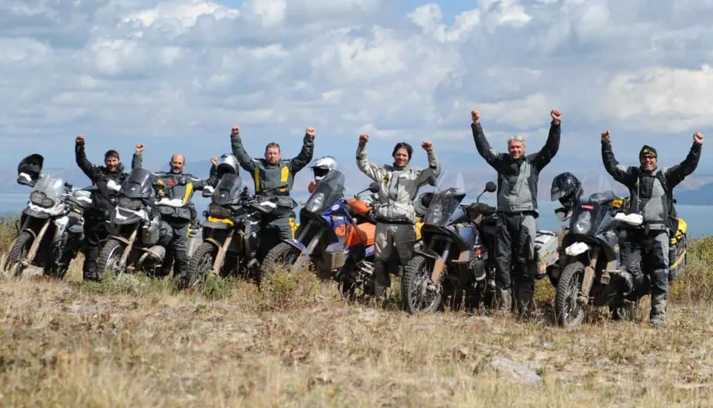
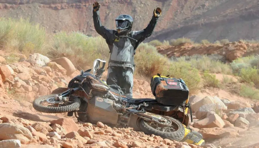
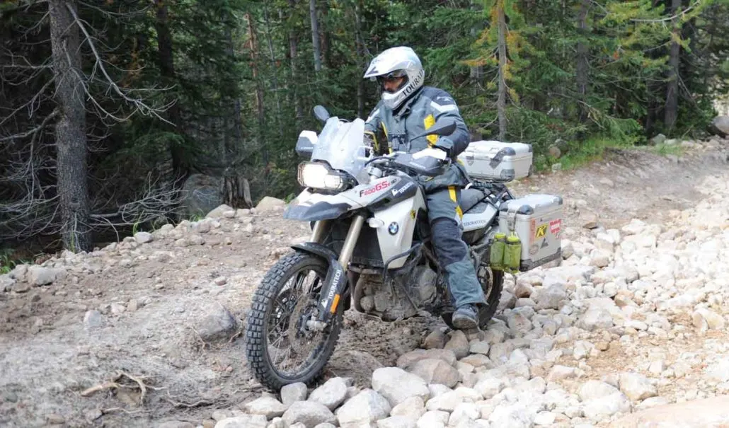
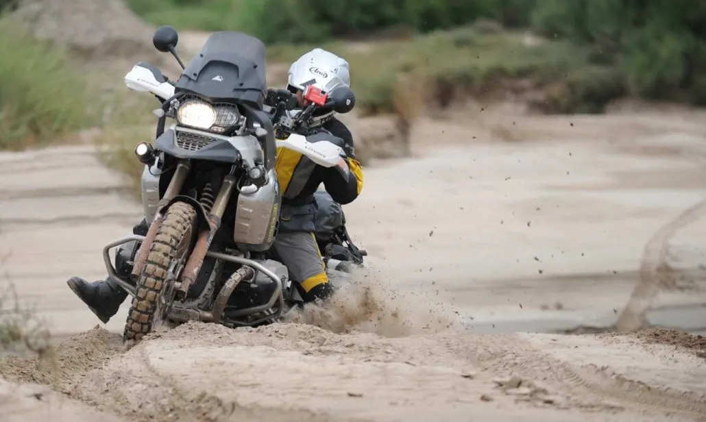
There is just nothing else quite like Utah and this 900-mile route will take riders to some unforgettable places. Beginning near Mexican Hat, UT and ending in Garden City, UT the route includes iconic places including Valley of the Gods, Moab, the Abajo and La Sal mountains, Onion Creek, 9 Mile Canyon and the Wasatch Mountains. Utah is unpredictable with mud that is impassable when wet and storms that can wash out roads at anytime. Deep sand challenges riders in places, and a few expert-only options provide excitement for those that seek adrenaline.
Best time of year: May/June and September/October. Extremely hot conditions and the monsoon season occur in July and August making it a difficult time of year to ride the UTBDR.
Utah BDR
There is just nothing else quite like Utah and this 900-mile route will take riders to some unforgettable places. Beginning near Mexican Hat, UT and ending in Garden City, UT the route includes iconic places including Valley of the Gods, Moab, the Abajo and La Sal mountains, Onion Creek, 9 Mile Canyon and the Wasatch Mountains. Utah is unpredictable with mud that is impassable when wet and storms that can wash out roads at anytime. Deep sand challenges riders in places, and a few expert-only options provide excitement for those that seek adrenaline.
Best time of year: May/June and September/October. Extremely hot conditions and the monsoon season occur in July and August making it a difficult time of year to ride the UTBDR.
1. Arizona Border to Blanding
ARIZONA BORDER TO BLANDING – 129 miles Begin your epic ride in the idyllic setting of Monument Valley. Fuel, food and lodging are available at Gouldings-Monument Valley and in nearby Mexican Hat or Bluff, but we advise booking your room ahead due to the limited number of beds in this area. Soon after you begin riding you’ll enter Valley of the Gods, site of legendary western movies and iconic sandstone towers. This scenic route has a dazzling display of warm hues painted by the rising sun and will surely motivate you to set out early. Once you rejoin the pavement, a brief ride up the amazing switchbacks of the Moki Dugway ushers you onto the top of Cedar Mesa. After riding a paved section of Hwy 261 you’ll descend eastward off the mesa via Snow Flat Road and have a short section of deep sand in Comb Wash within Bears Ears National Monument. In a short distance you’ll be riding northward on Lower Butler Wash Road, which can also be sandy, then Brushy Basin Rim Road which takes you into Blanding for food, fuel, and lodging.
2. Blanding to Moab
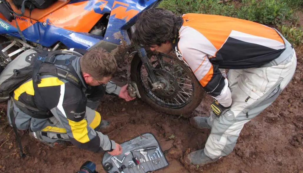
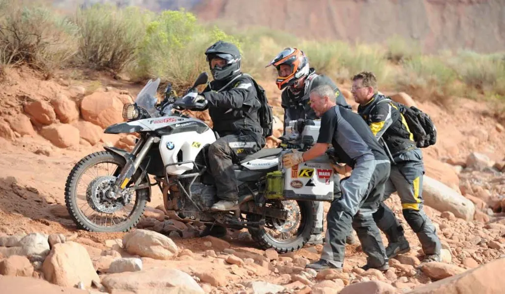
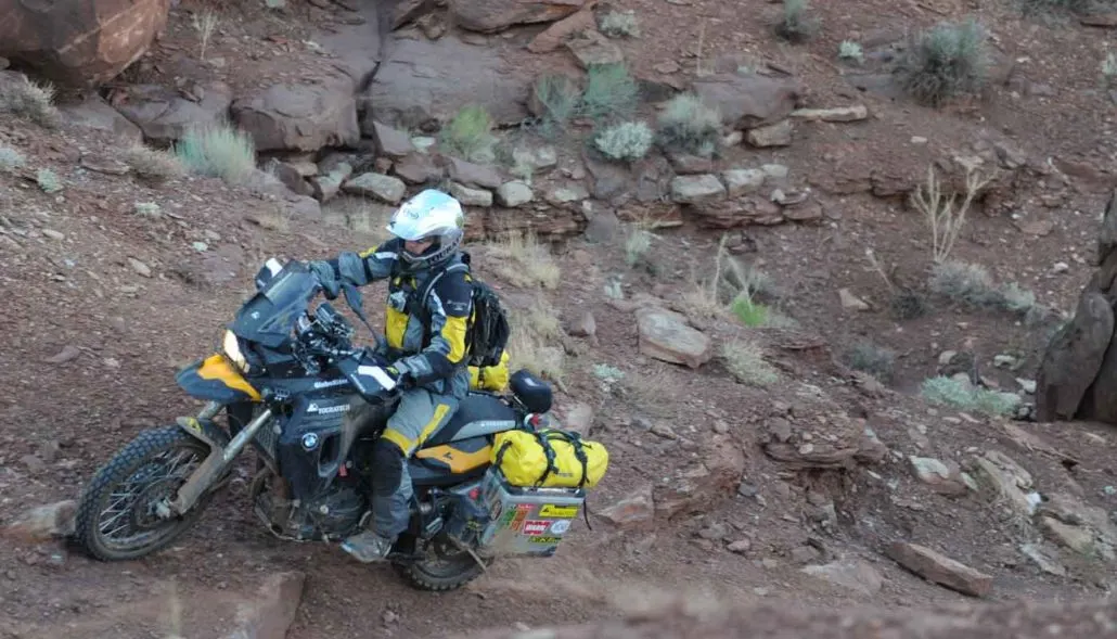
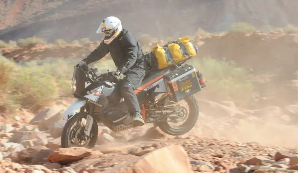
BLANDING TO MOAB – 179 miles Leaving Blanding, you’ll quickly start climbing into the Abajo Mountains, with a stunning collection of blissful switchbacks through tall pine and aspen forest. After descending from the Abajos, take a short detour to fill your tank in Monticello before heading out on a nice paved ride over Harts Draw Road. At the intersection of Hwy 211 you’ll have a choice to make. The main route continues east towards the La Sal Mountains with fuel available in the tiny town of La Sal and the harder route follows Lockhart Basin Road, one of the toughest sections of any BDR. The scenery in the La Sal Range is similar to the Abajos with spectacular views and high elevations like Geyser Pass. The Lockhart option is a 78-mile trip from Indian Creek to Moab and has a similar setting to the White Rim in Canyonlands National Park across the Colorado River. WARNING! Do not attempt Lockhart Basin if you are not proficient in advanced riding. Bring along plenty of water and snacks to help you stay hydrated and energized. Both fuel and supplies are available at the Needles Outpost, a short distance from the turn-off to Lockhart Basin Road.
3. Moab to Green River
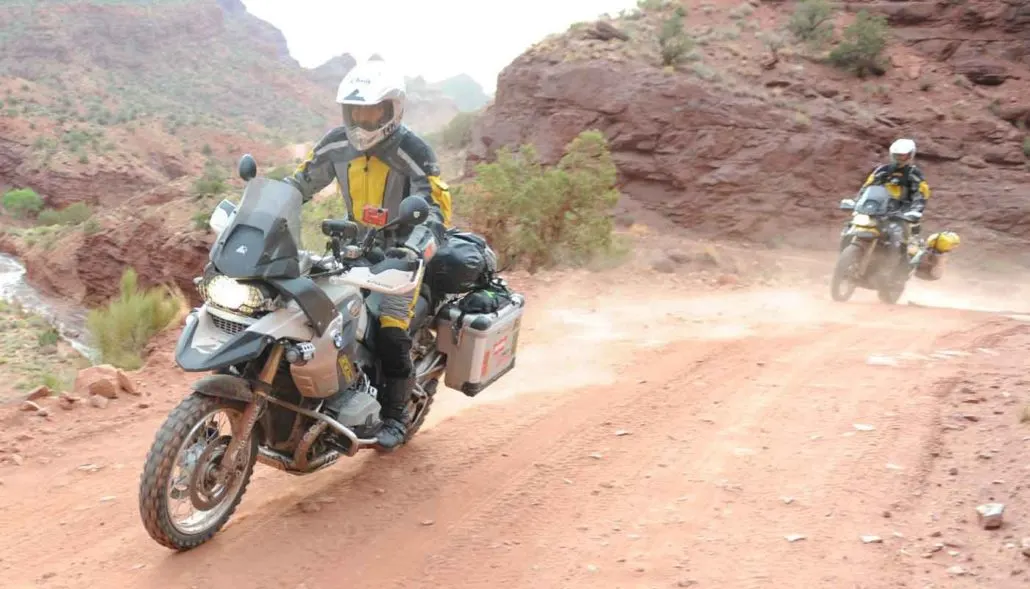
MOAB TO GREEN RIVER – 158 miles Leaving Moab, you’ll climb back into the mountains and take in the cool air atop Polar Mesa before descending into picturesque Onion Creek with high cliffs and several small creek crossing opportunities. North of Dewey Bridge, you’ll turn westward on dirt roads that pass former mining camps and abandoned uranium mines that offer plenty to look at, but this area can be sandy in late summer. The route will eventually pull you north of I-70 into the Book Cliffs. Check out the ghost town of Sego, with abandoned buildings and rock arts sites, before dropping down into the town of Green River.
4. Green River to Wellington
GREEN RIVER TO WELLINGTON – 92 miles Just outside of Green River the route heads north along Cottonwood Wash offering pleasant views of the San Rafael Swell to the west. Expect to make up some time along the Green River Cut-Off Road, which will take you west along the Cedar Mountain Recreation Area via a graded gravel road. If time allows, take a detour to the Little Grand Canyon Overlook and the Cleveland – Lloyd Dinosaur Quarry. If you do not plan on camping, nearby Price offers additional lodging opportunities just off-route.
5. Wellington to Fruitland
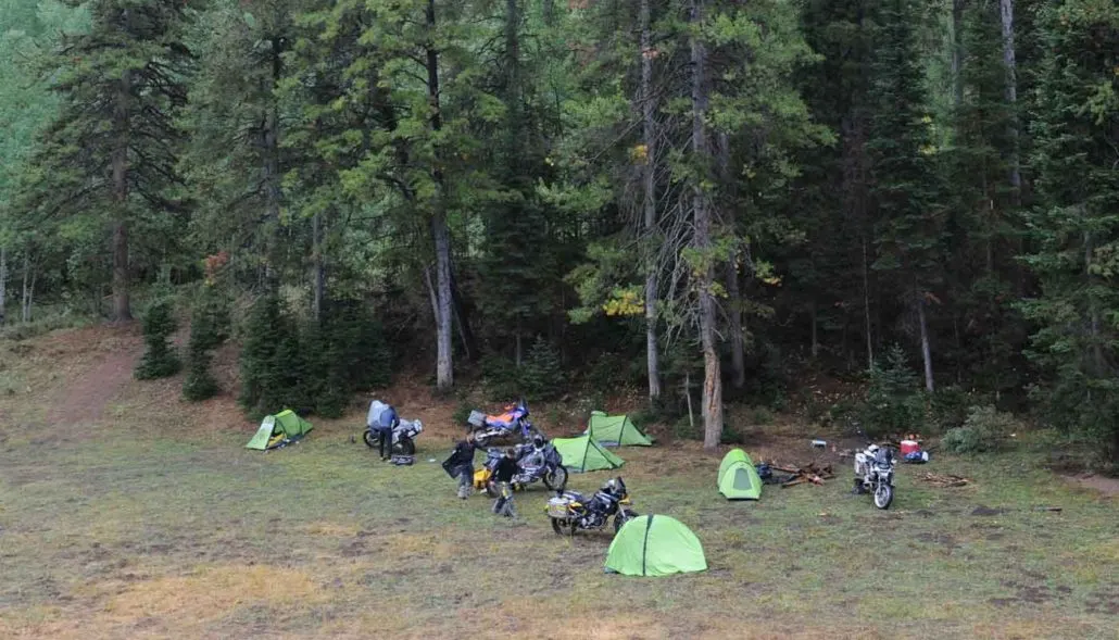
WELLINGTON TO FRUITLAND – 105 miles Upon leaving Wellington, an old paved road ushers you to the mouth of Nine Mile Canyon, a beautiful 70 mile stretch of backcountry byway. While the canyon encompasses all types of archaeological sites, it is home to the largest concentration of Native American rock art dating back 8,000 years. Halfway through the canyon, turn westward onto Argyle Canyon Road and follow it up to Hwy 191, where you’ll cross onto Reservation Ridge. From there the road rises to 9,000 feet offering gorgeous views that seem to stretch forever. Continuing north, Timber Canyon gradually descends to the Strawberry River Valley which offers a charming ride under a canopy of thick cottonwood trees along a cool flowing river. For those looking to camp, there are options for primitive dispersed camping in the National Forest before entering the Uinta and Ouray Reservation.
6. Fruitland to Evanston, WY
FRUITLAND TO EVANSTON, WY – 137 miles You’ll get high into Utah’s northern mountains on this stretch. It starts with a gradual ascent on Current Creek Road. Beyond a reservoir the route continues on wide dirt roads that get smaller after rounding Heber Mountain. The route eventually crosses Hwy 35 and then follows a primitive road surrounded by evergreens and aspen trees. Once on Hwy 150 you’ll ride pavement that eventually tops out on a high alpine meadow with rewarding panoramas of the Uinta Wilderness. There is reasonable camping there and even more great sites can be found along the alpine lakes further ahead. For advanced riders, there is an optional harder section just west of Hwy 150 that takes you over Gold Hill Pass, featuring rocky terrain rewarded by expansive views. The final part of the main route brings you to Evanston, Wyoming where you can fill up on fuel and food and stay the night.
7. Evanston, WY to Idaho Border
EVANSTON, WY TO IDAHO BORDER – 103 miles The route from Evanston, WY to Woodruff, UT follows paved highways 89 and 16. In Woodruff you’ll turn west at a gas station and meander up Highway 39 into the Monte Cristo Range. Not far from the pass the route turns north on Curtis Creek Road and stays on dirt roads in forests and meadows near the crest of the ridge for about 50 miles. Along the way look for side roads to explore and a few vista points where you can stop and rest. There are great camping sites the entire length of the route through the Monte Cristos. At the end of the route you will be rewarded with a view worthy of the epic adventure you just experienced across the state of Utah. Head into Garden City for a cup of raspberry ice cream, the town’s specialty, and consider riding to the shore of Bear Lake where you can put your smelly feet in the water.
Interactive map preview
Open the full map for layers, filters, and route planning tools.
Open full mapYour next adventure starts here
Create your own maps with custom routes, waypoints, and layers. Then share with your friends to kick off your adventure planning.
