Western MA Backcountry Alliance
BC skiing zones maintained by the Western MA Backcountry Alliance, a chapter of the Catamount Trail Association. Learn more and support the organization by visiting: https://www.wmassbcalliance.org/
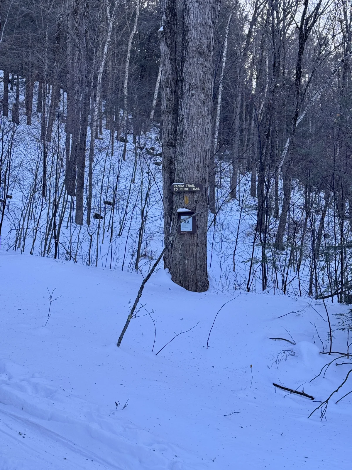
Western MA Backcountry Alliance
BC skiing zones maintained by the Western MA Backcountry Alliance, a chapter of the Catamount Trail Association. Learn more and support the organization by visiting: https://www.wmassbcalliance.org/
Interactive map preview
Open the full map for layers, filters, and route planning tools.
Open full mapYour next adventure starts here
Create your own maps with custom routes, waypoints, and layers. Then share with your friends to kick off your adventure planning.
