Big Mouse
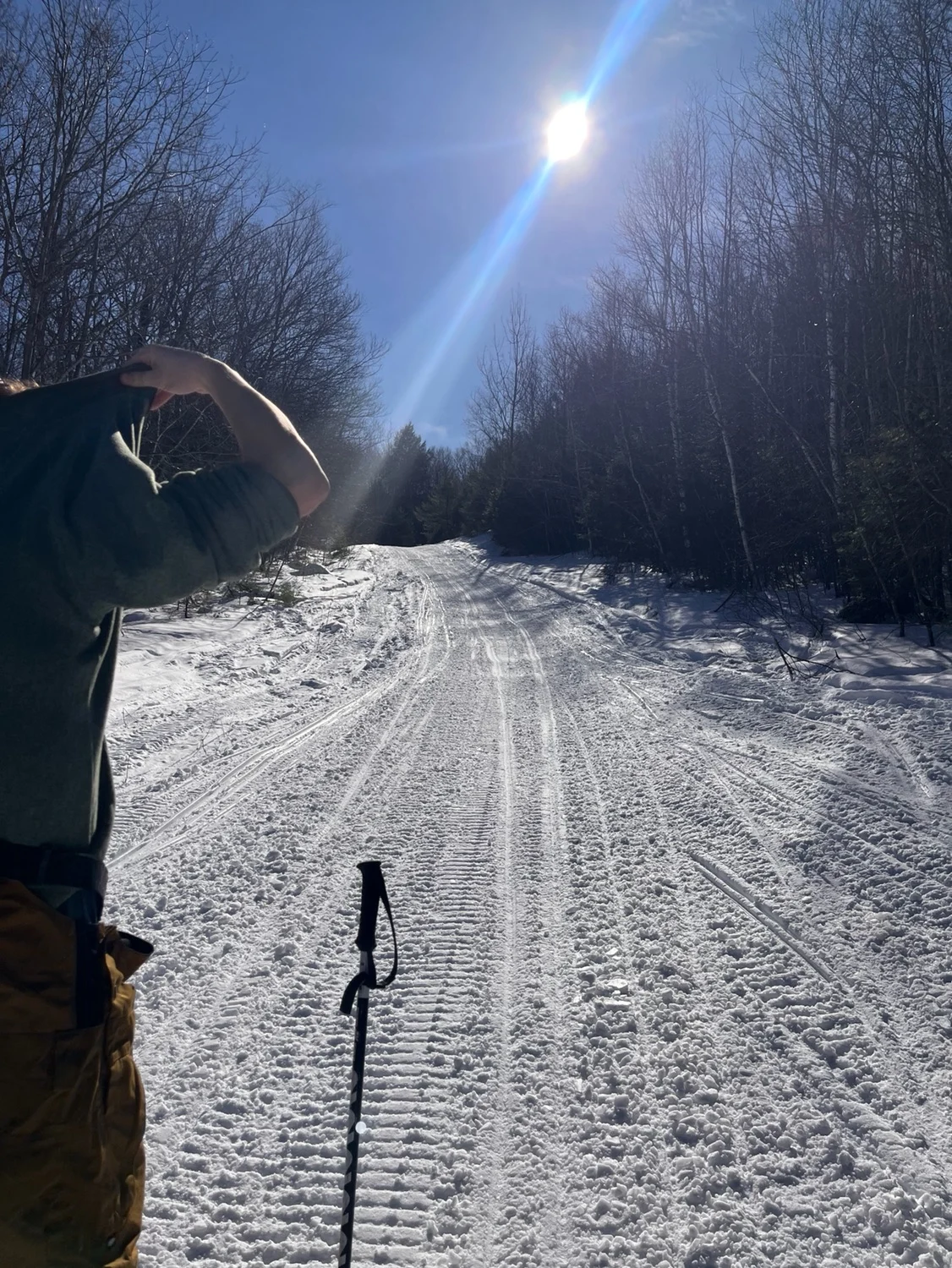
Most likely will be tracked out by snow mobiles. Best way to go uphill.
Big Mouse
Most likely will be tracked out by snow mobiles. Best way to go uphill.
Length
0.7 mi
Elevation gain
614 ft
Elevation loss
0 ft
Average slope angle
12º
Max slope angle
20º
Aspect
Interactive map preview
Open the full map for layers, filters, and route planning tools.
Open full mapYour next adventure starts here
Create your own maps with custom routes, waypoints, and layers. Then share with your friends to kick off your adventure planning.
