The Fingers
Also called Gully #4, this is where the Gulf of Slides terrain transitions from big defined gullies, to many parallel isles of snow. For what the fingers lack in spaciousness, they make up for in vertical.
Skin up the Gulf of Slides Trail to where you reach the big downhill skin into the gully, at the center, break right into the deep, tree filled gully. Some gentle bushwhacking and awkward skinning eventually gets you to a split, break left at the split to access The Fingers. These chutes are long and steep, the central line is likely the cleanest. As the line peters out into steep talus, locate a spot to put your skies on. Enjoy great skiing down these thin, technical gullies to the run out, where you will likely deal with some side slipping around trees and other obstacles. This runout also creates a massive terrain trap should any of the gullies that join it happen to slide. This zone is a fun way to mix up the usual routine in Gulf of Slides, just make sure you pick a good stability day.
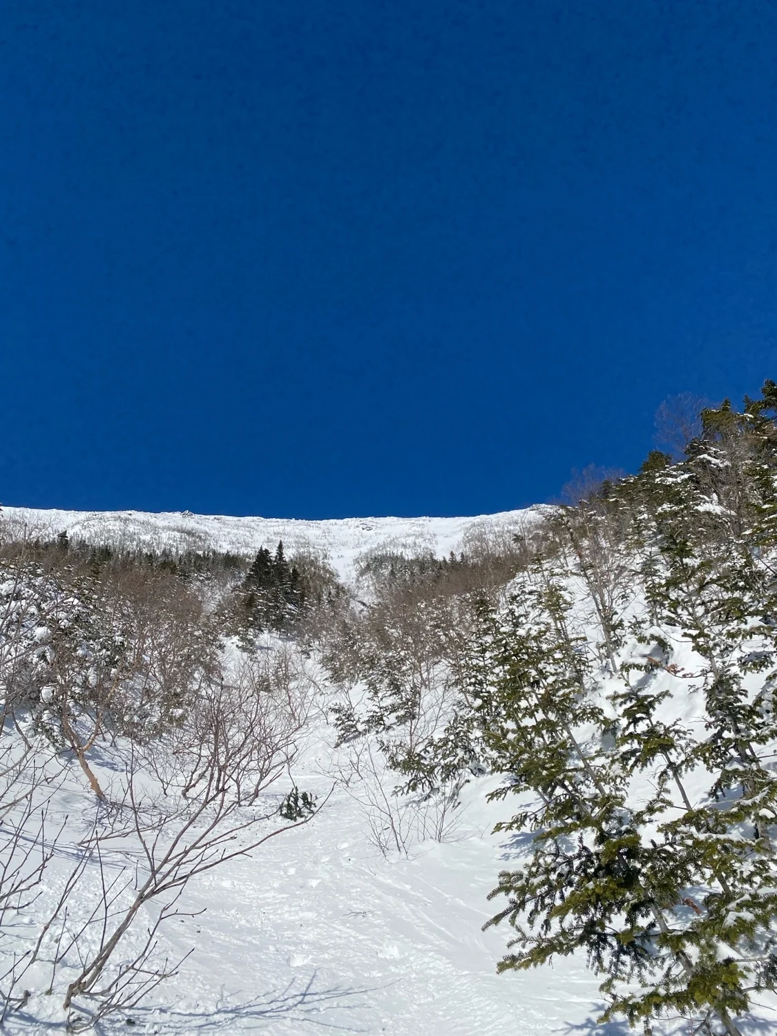
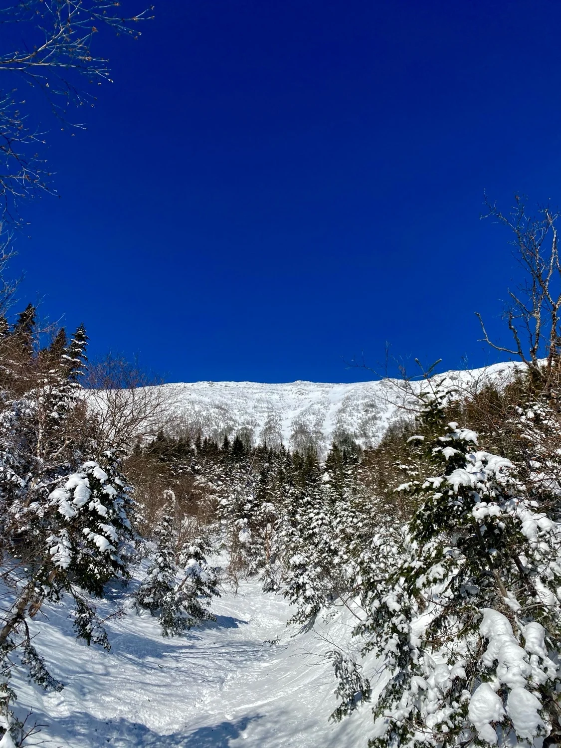
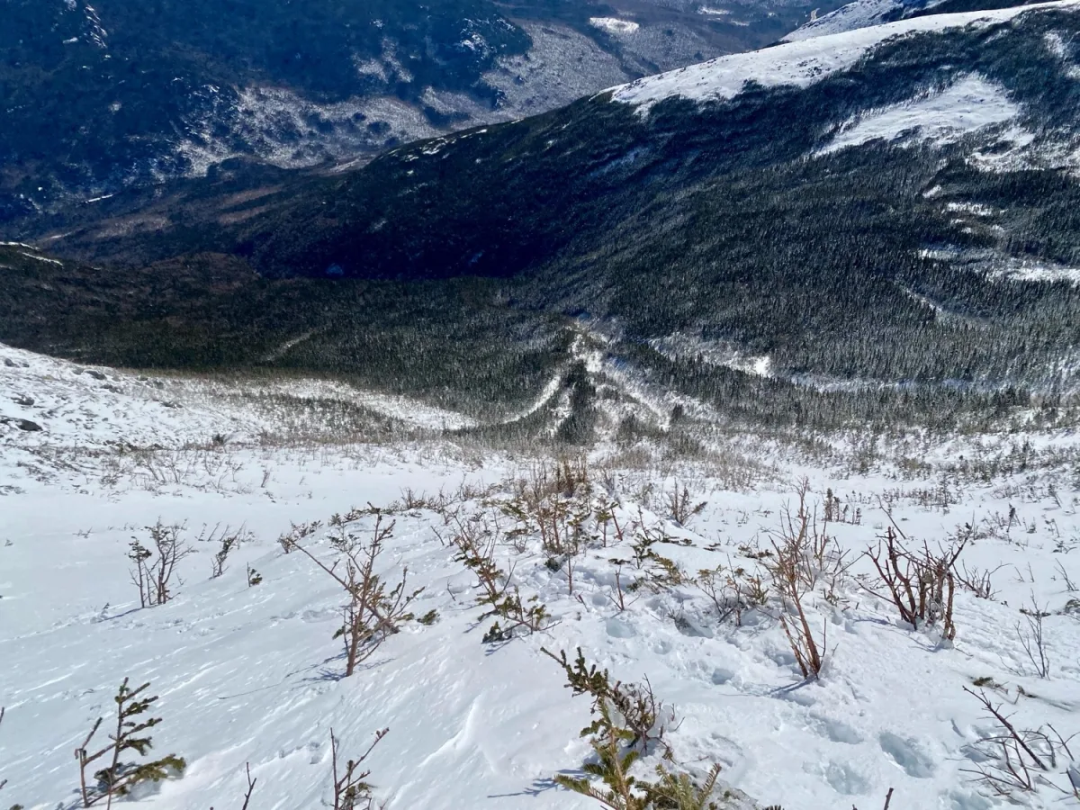
Length
0.4 mi
Elevation gain
0 ft
Elevation loss
-1,172 ft
Average slope angle
30º
Max slope angle
45º
Aspect
Interactive map preview
Open the full map for layers, filters, and route planning tools.
Open full mapYour next adventure starts here
Create your own maps with custom routes, waypoints, and layers. Then share with your friends to kick off your adventure planning.
