Dodge’s Drop
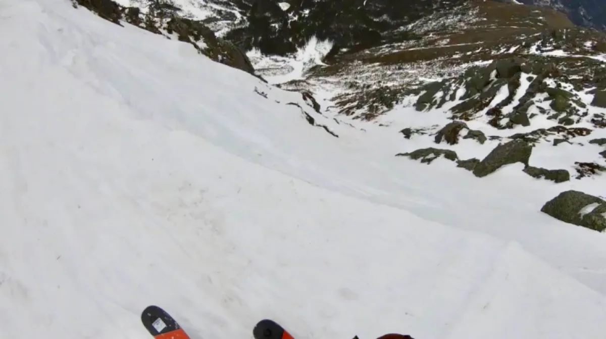
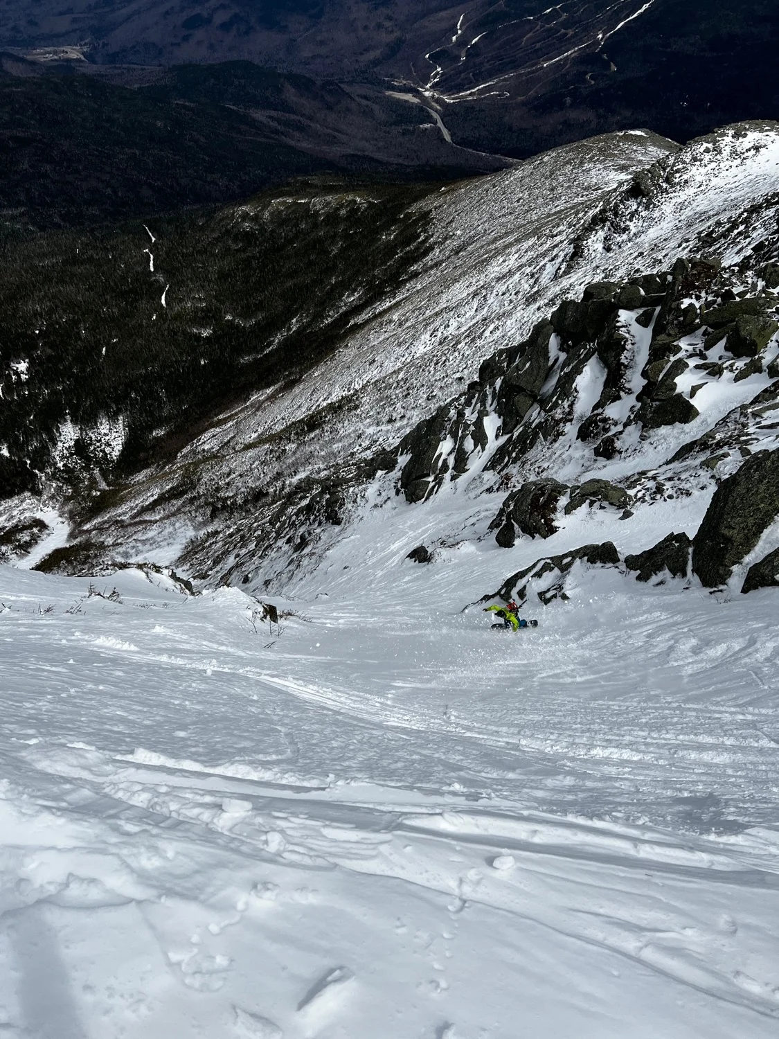
Perhaps the most striking chute in the Presidential Range. Dodges is the first thing you see when you hike the final stretch of the Tuckerman Ravine Trail to Hermit Lake. It incites awe, inspiration and fear upon first glance.
While the Headwall of Tuckerman Ravine is technically steeper, Dodge’s is a much more serious undertaking, with high consequences should you fall.
In the spring, the best approach is to climb Hillman’s Highway and hike over to the top, to avoid standing in the line of slough. In mid winter you may want to consider climbing the line in order to evaluate conditions.
There are two entrances, the skiers right being narrower but more direct, the left being wider but above exposure. Drop in steeply either way and join where they merge. Exciting turns lead to an exit crux, a constriction sometimes sporting an ice bulge or small air in thin conditions. Ski out the meandering bush gully to join Hillman’s. You’ve now skied one of the most coveted ski lines in the White Mountains.
Dodge’s Drop
Perhaps the most striking chute in the Presidential Range. Dodges is the first thing you see when you hike the final stretch of the Tuckerman Ravine Trail to Hermit Lake. It incites awe, inspiration and fear upon first glance.
While the Headwall of Tuckerman Ravine is technically steeper, Dodge’s is a much more serious undertaking, with high consequences should you fall.
In the spring, the best approach is to climb Hillman’s Highway and hike over to the top, to avoid standing in the line of slough. In mid winter you may want to consider climbing the line in order to evaluate conditions.
There are two entrances, the skiers right being narrower but more direct, the left being wider but above exposure. Drop in steeply either way and join where they merge. Exciting turns lead to an exit crux, a constriction sometimes sporting an ice bulge or small air in thin conditions. Ski out the meandering bush gully to join Hillman’s. You’ve now skied one of the most coveted ski lines in the White Mountains.
Length
0.2 mi
Elevation gain
0 ft
Elevation loss
-1,010 ft
Average slope angle
38º
Max slope angle
52º
Aspect
Interactive map preview
Open the full map for layers, filters, and route planning tools.
Open full mapYour next adventure starts here
Create your own maps with custom routes, waypoints, and layers. Then share with your friends to kick off your adventure planning.
