King to Jefferson/Castle
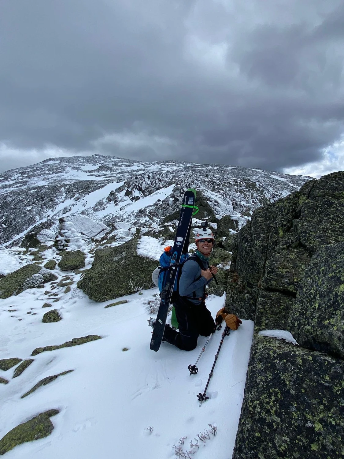
This is another option for accessing the Mount Jefferson Ravines. Climb Airline Trail or Great Gully and hike up and over a col. Roughly follow Gulfside Path, there’s often sheltered pockets of snow that can be traversed on skins or skis to speed things up. The first line you come to is Abbey’s Way. This would be a really efficient way to get into Jefferson Ravine if it wasn’t a heinous bushwhack. If approaching from Adams, you’re better off descending to Edmands Col and skiing in Jefferson Headwall. Castle Ravine is also accessible from here.
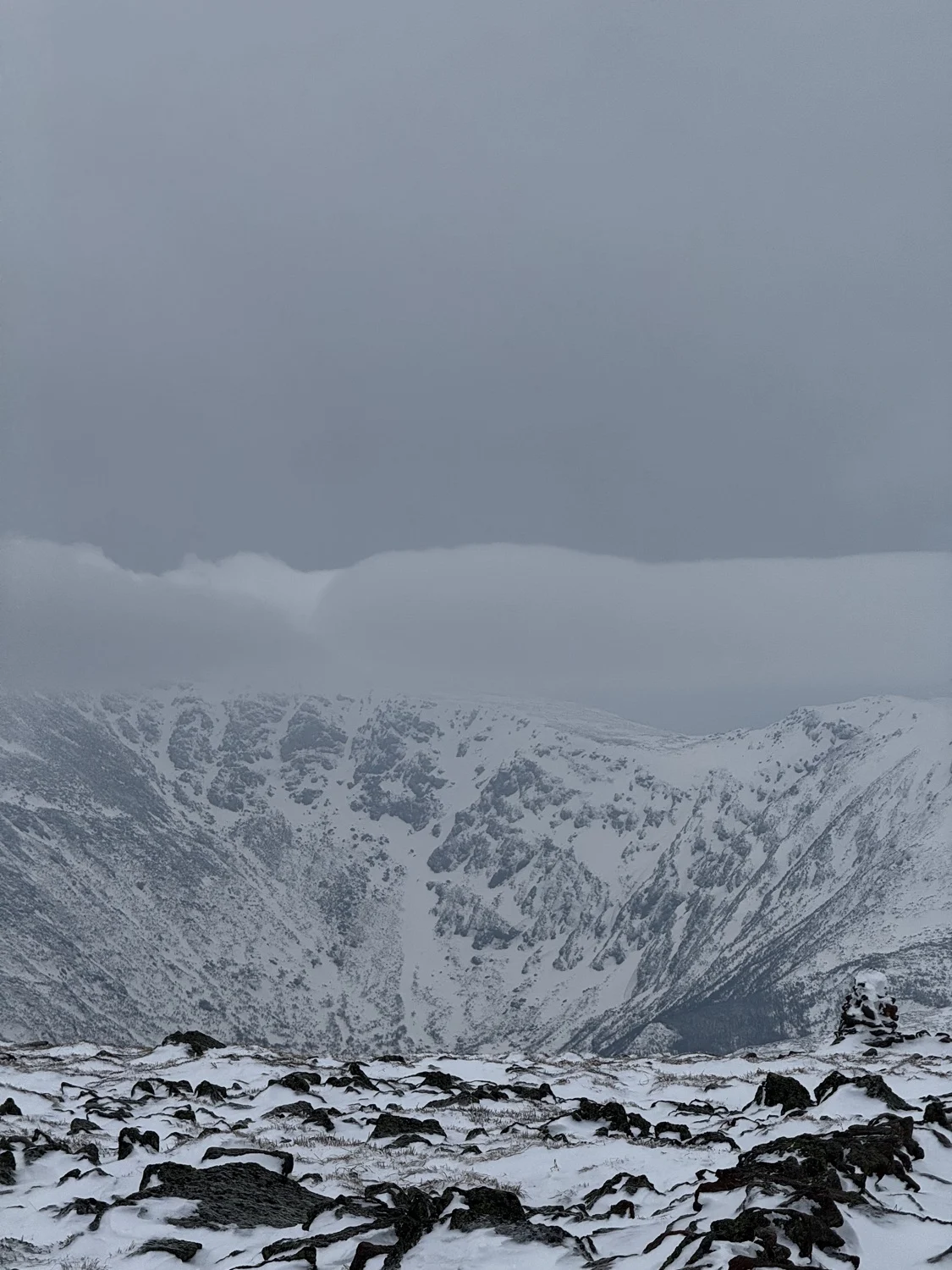
King to Jefferson/Castle
This is another option for accessing the Mount Jefferson Ravines. Climb Airline Trail or Great Gully and hike up and over a col. Roughly follow Gulfside Path, there’s often sheltered pockets of snow that can be traversed on skins or skis to speed things up. The first line you come to is Abbey’s Way. This would be a really efficient way to get into Jefferson Ravine if it wasn’t a heinous bushwhack. If approaching from Adams, you’re better off descending to Edmands Col and skiing in Jefferson Headwall. Castle Ravine is also accessible from here.
Length
1.4 mi
Elevation gain
419 ft
Elevation loss
-704 ft
Average slope angle
12º
Max slope angle
24º
Aspect
Interactive map preview
Open the full map for layers, filters, and route planning tools.
Open full mapYour next adventure starts here
Create your own maps with custom routes, waypoints, and layers. Then share with your friends to kick off your adventure planning.
