Abbey’s Way

This would be the best way to get to Jefferson Ravine from Adams, if not for the thousands of trees obstructing the line. Abbey’s Way is named for a sub peak that was once considered to be named after Abigail Adams.
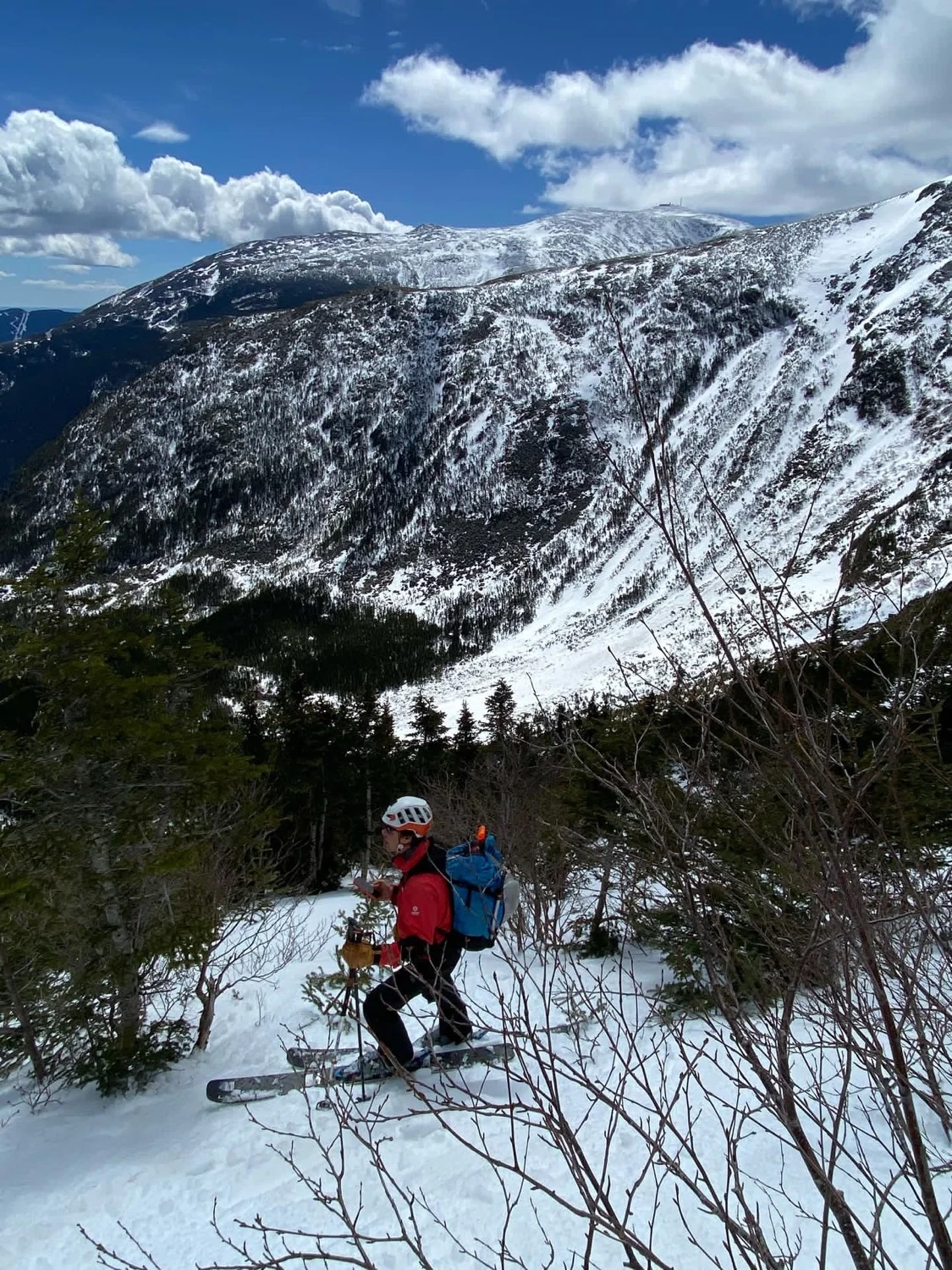
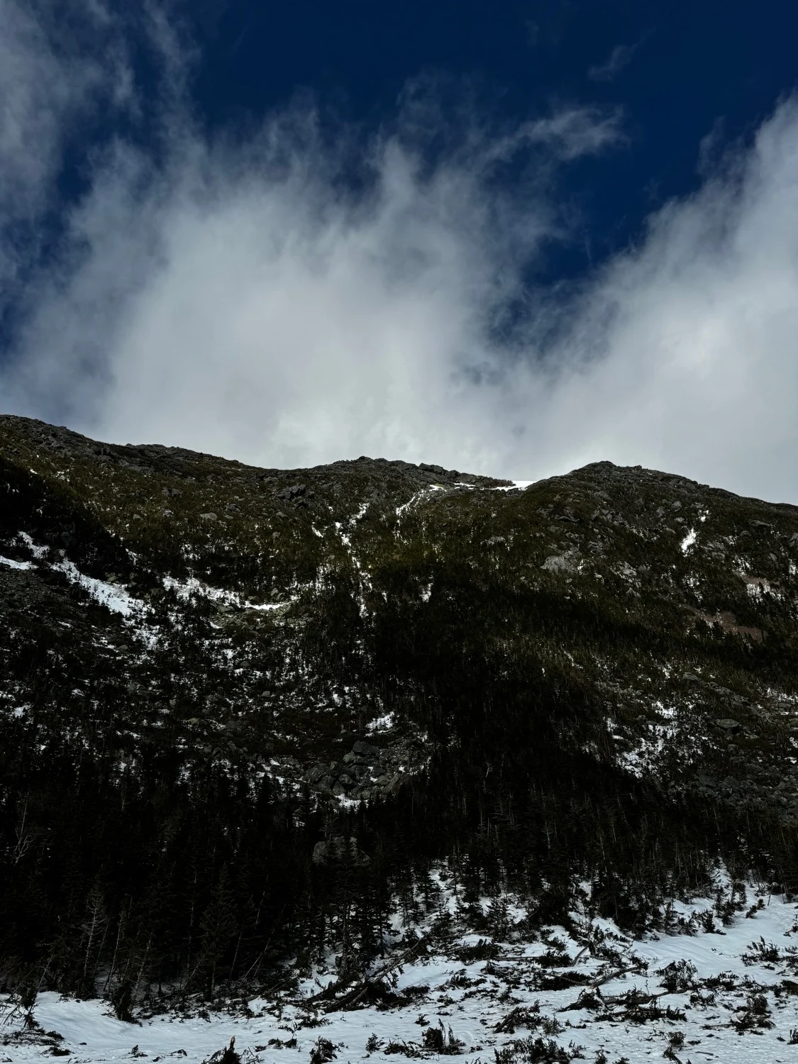
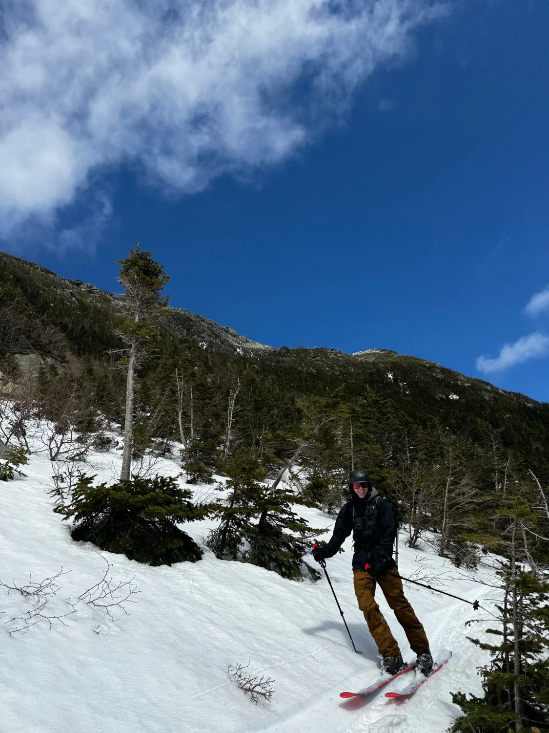
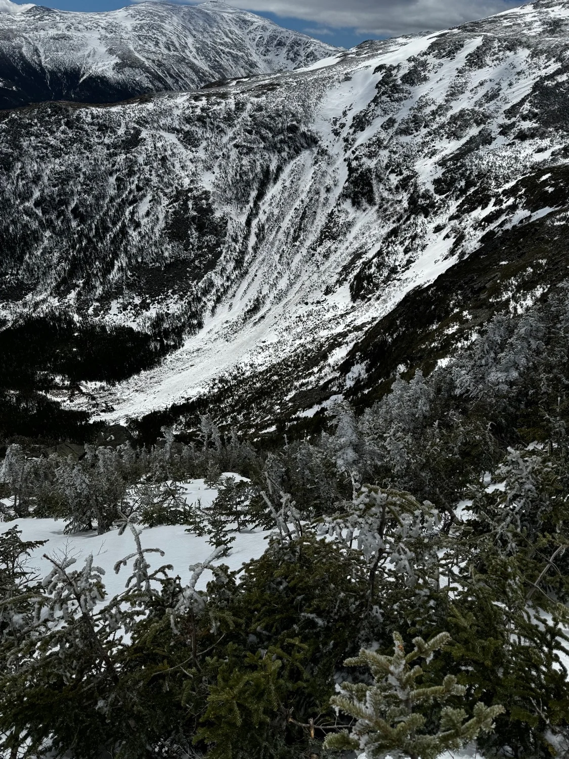
The best approach is to ski up Airline Trail and hike over along the Gulfside Path. Descent towards Jefferson Ravine towards an entrance to skiers left. An enticing opening gully gives the illusion that this line is clean and continuous. A traverse to skiers right leads to a few more good turns, as the vegetation slowly closes in. By the time you realize you’re in it, both hiking out and finishing the line both seem equally difficult. Bushwhack the line of least resistance to a talus slope, then continue bushwhacking to the open patch at base of Jefferson Ravine. Pick the spruce needles out of your teeth and climb out via Jefferson Headwall. This route should only be skied in a deep snow year.
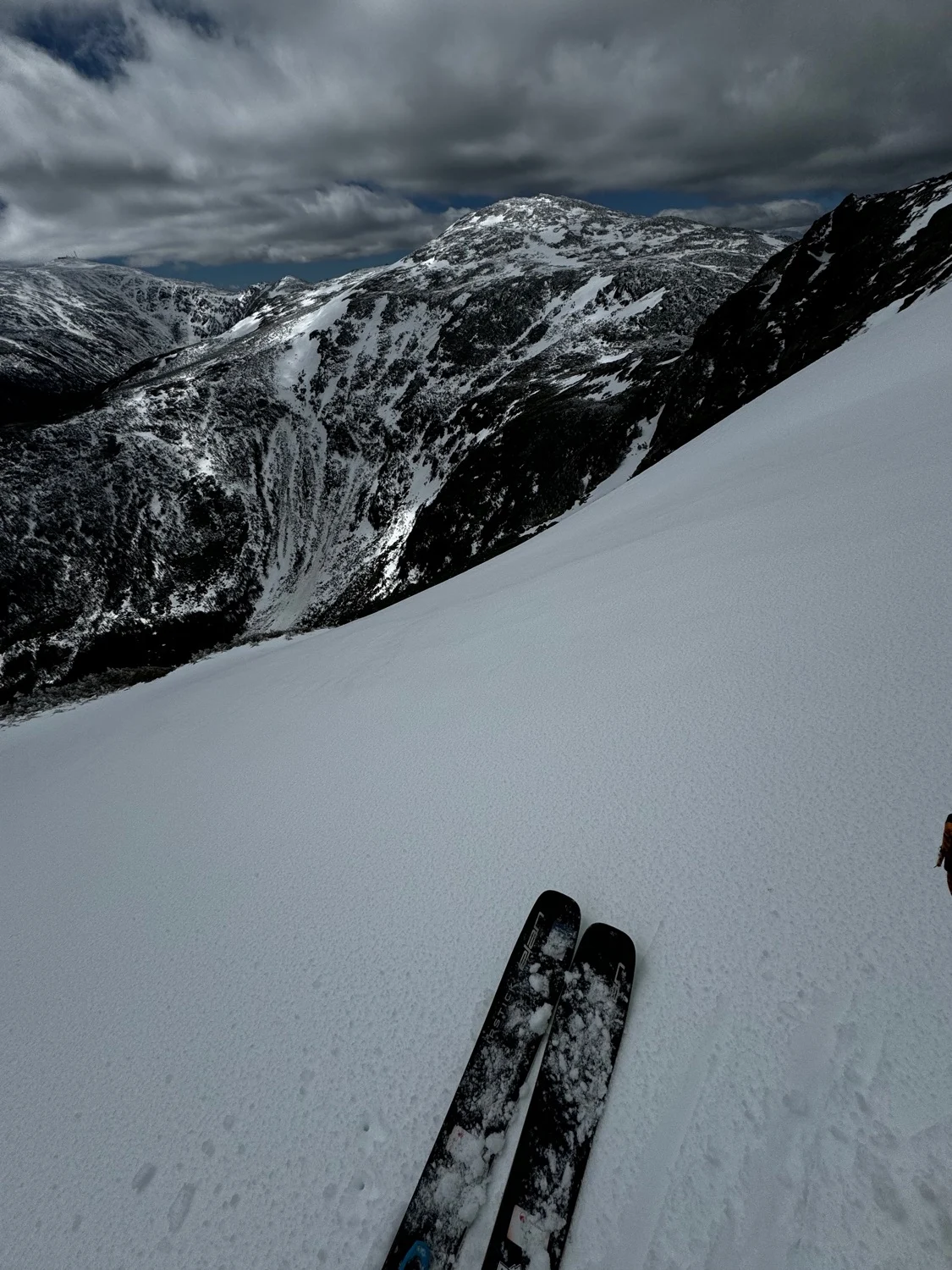
Abbey’s Way
This would be the best way to get to Jefferson Ravine from Adams, if not for the thousands of trees obstructing the line. Abbey’s Way is named for a sub peak that was once considered to be named after Abigail Adams.
The best approach is to ski up Airline Trail and hike over along the Gulfside Path. Descent towards Jefferson Ravine towards an entrance to skiers left. An enticing opening gully gives the illusion that this line is clean and continuous. A traverse to skiers right leads to a few more good turns, as the vegetation slowly closes in. By the time you realize you’re in it, both hiking out and finishing the line both seem equally difficult. Bushwhack the line of least resistance to a talus slope, then continue bushwhacking to the open patch at base of Jefferson Ravine. Pick the spruce needles out of your teeth and climb out via Jefferson Headwall. This route should only be skied in a deep snow year.
Length
0.5 mi
Elevation gain
18 ft
Elevation loss
-1,208 ft
Average slope angle
28º
Max slope angle
51º
Aspect
Interactive map preview
Open the full map for layers, filters, and route planning tools.
Open full mapYour next adventure starts here
Create your own maps with custom routes, waypoints, and layers. Then share with your friends to kick off your adventure planning.
