Monroe Brook
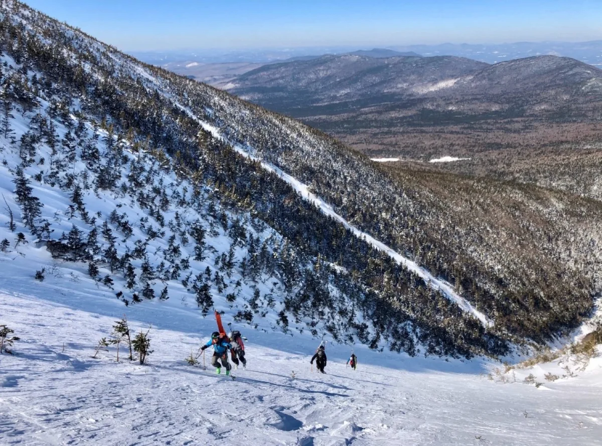
This is easily the best offering in Ammo, and possibly the best line on the West Side. This would make a great first tour in the Presidentials as well. This can be approached easily by following the the Ammonoosuc Ravine Trail to Lake of The Clouds and traversing South beneath the summit of Mount Monroe until you reach the gully. But it is smart to approach from below to assess conditions. To do this, skin along the Ammonoosuc Ravine trail and locate a faint drainage on the right. A gladed path provides a gentle skinning approach to the base of the gully. After navigating around some water holes, you gain the bottom of the line. Ascend the meandering gully and top out in the bushes below the summit cone of Mount Monroe.
There are two entrances, the left is quite steep at the top, the right is lower angle. Both join a long gully that provides excellent skiing down to Ammonoosuc Ravine Trail.
This route makes an awesome exit run after a day of skiing of in Oakes Gulf.
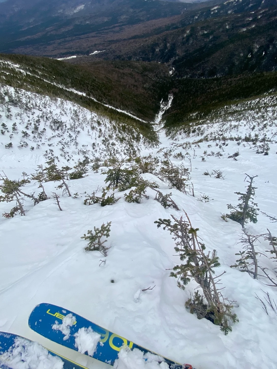
Monroe Brook
This is easily the best offering in Ammo, and possibly the best line on the West Side. This would make a great first tour in the Presidentials as well. This can be approached easily by following the the Ammonoosuc Ravine Trail to Lake of The Clouds and traversing South beneath the summit of Mount Monroe until you reach the gully. But it is smart to approach from below to assess conditions. To do this, skin along the Ammonoosuc Ravine trail and locate a faint drainage on the right. A gladed path provides a gentle skinning approach to the base of the gully. After navigating around some water holes, you gain the bottom of the line. Ascend the meandering gully and top out in the bushes below the summit cone of Mount Monroe.
There are two entrances, the left is quite steep at the top, the right is lower angle. Both join a long gully that provides excellent skiing down to Ammonoosuc Ravine Trail.
This route makes an awesome exit run after a day of skiing of in Oakes Gulf.
Length
0.8 mi
Elevation gain
0 ft
Elevation loss
-1,592 ft
Average slope angle
27º
Max slope angle
40º
Aspect
Interactive map preview
Open the full map for layers, filters, and route planning tools.
Open full mapYour next adventure starts here
Create your own maps with custom routes, waypoints, and layers. Then share with your friends to kick off your adventure planning.
