Burt Ravine North

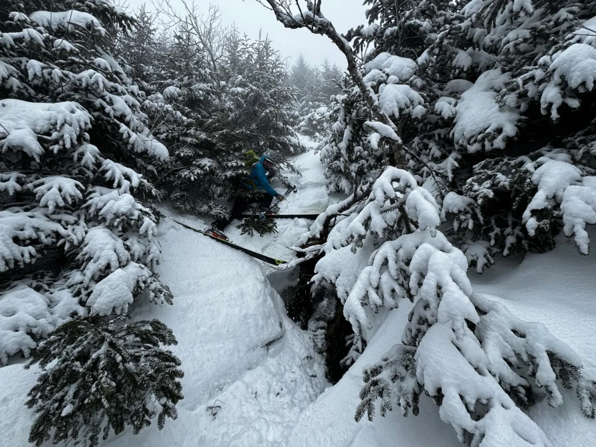
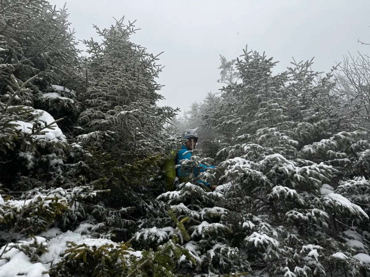
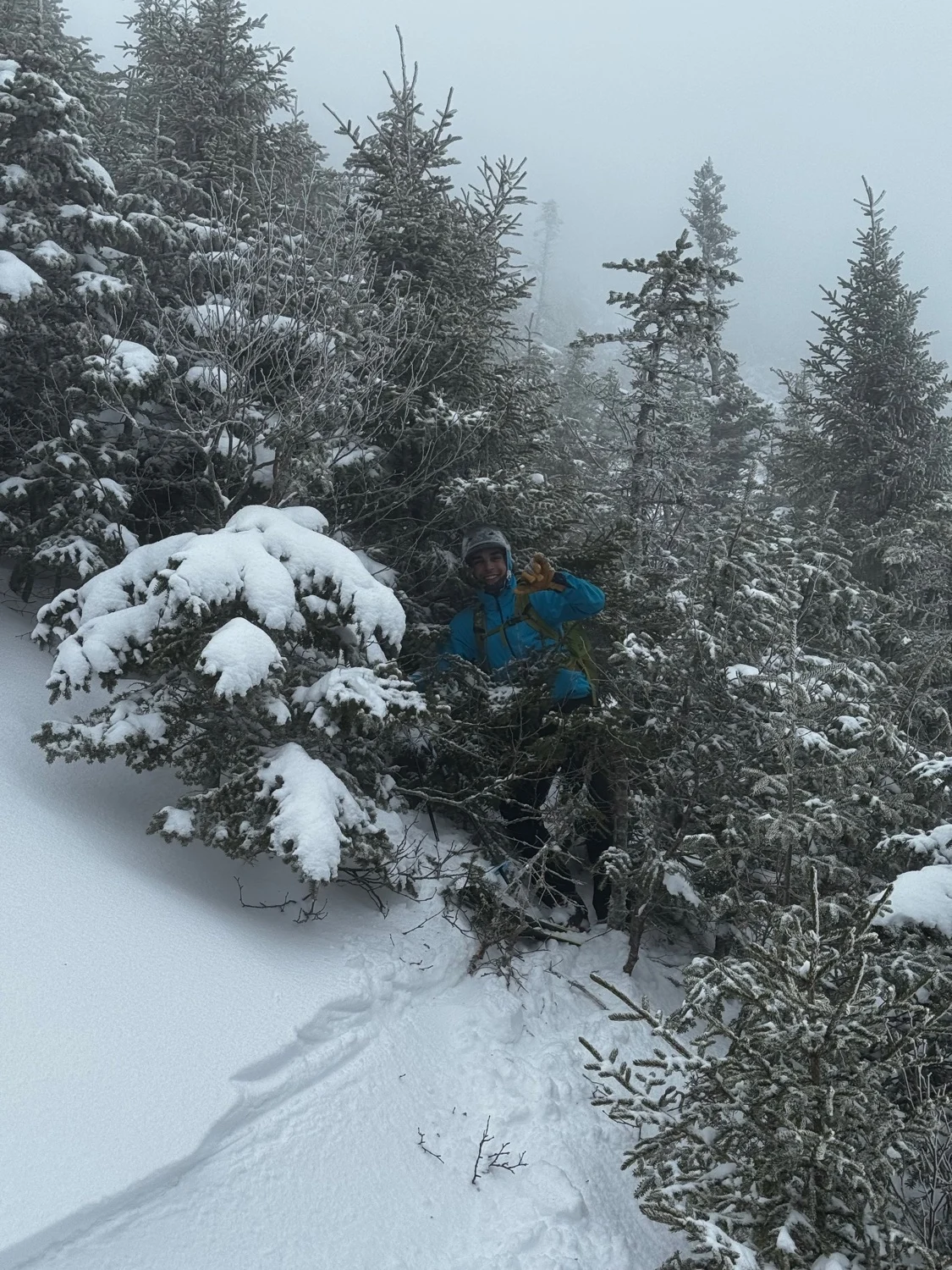
Don’t do it. Okay maybe that’s harsh, just be aware of what you’re getting into. This line unfortunately doesn’t form except in very rare conditions, like the 2010 snow year. This line requires consistent heavy snowfall on east winds to fill in. Additionally, the many years without avalanches appear to have allowed trees to grow taller, and present a significant obstacle.
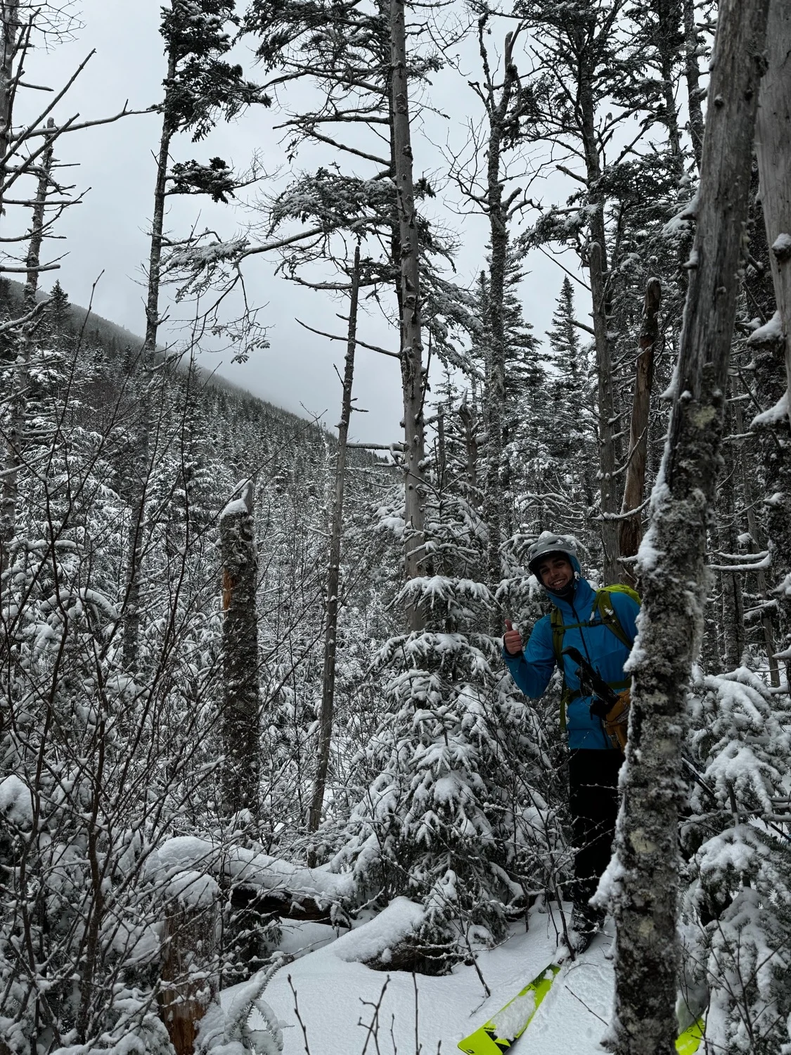
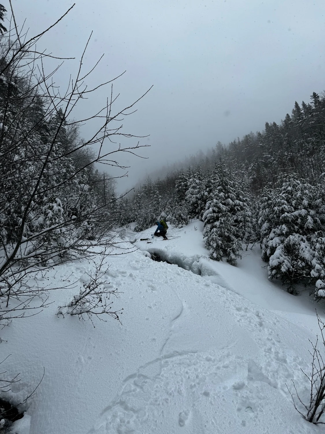
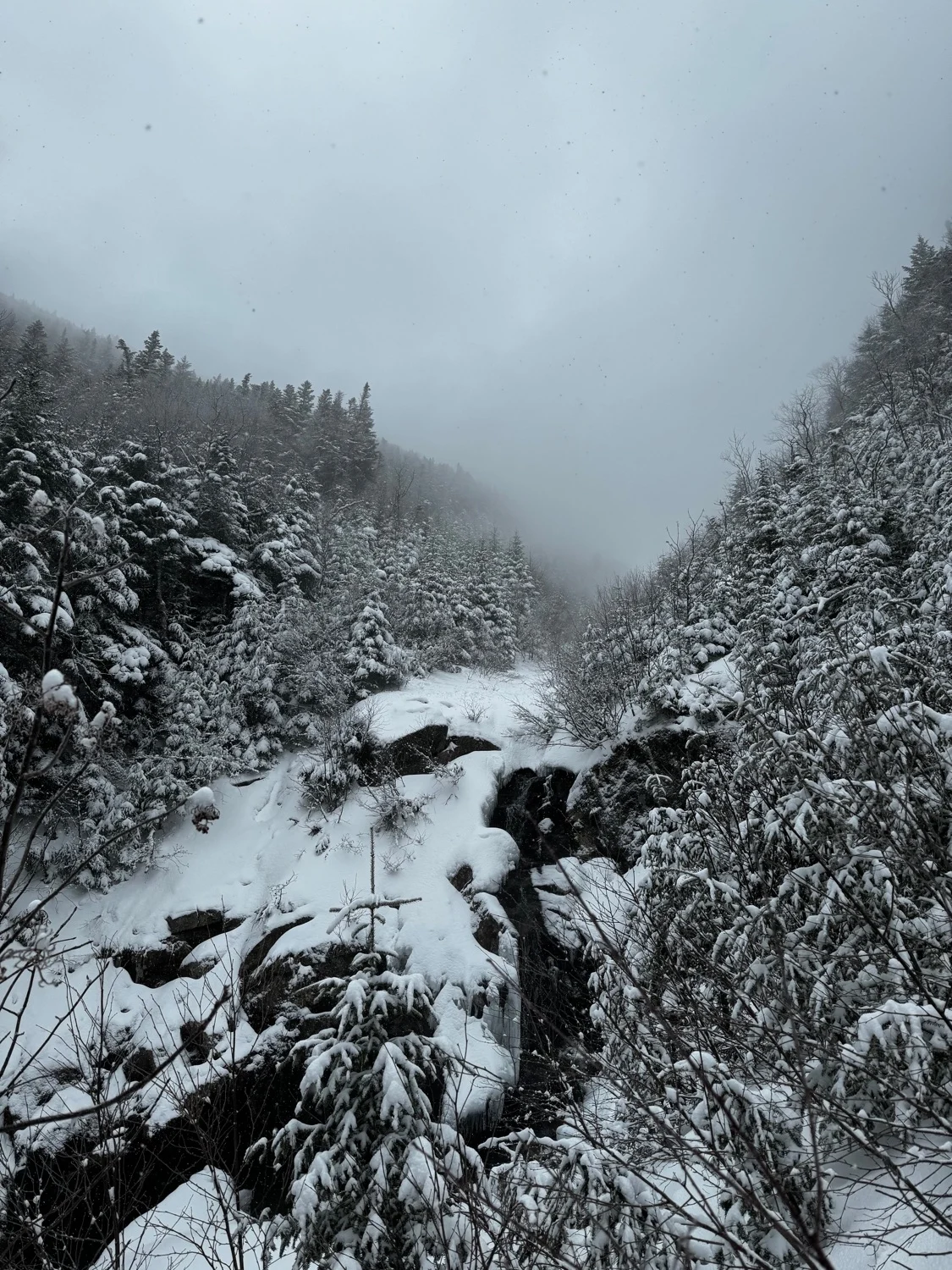
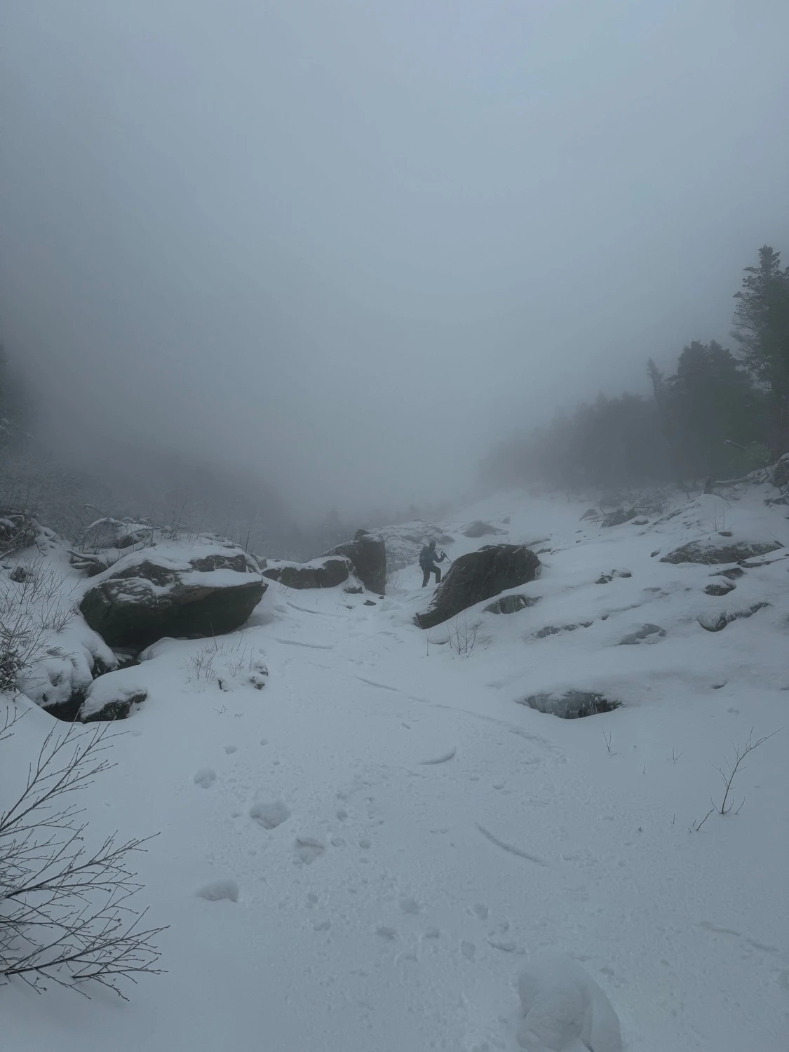
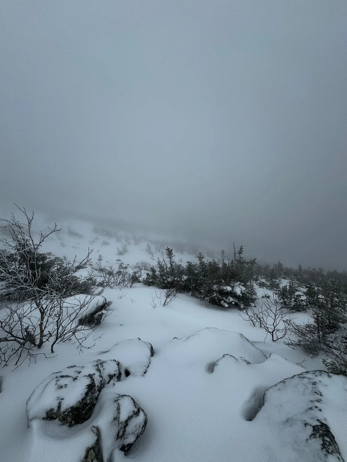
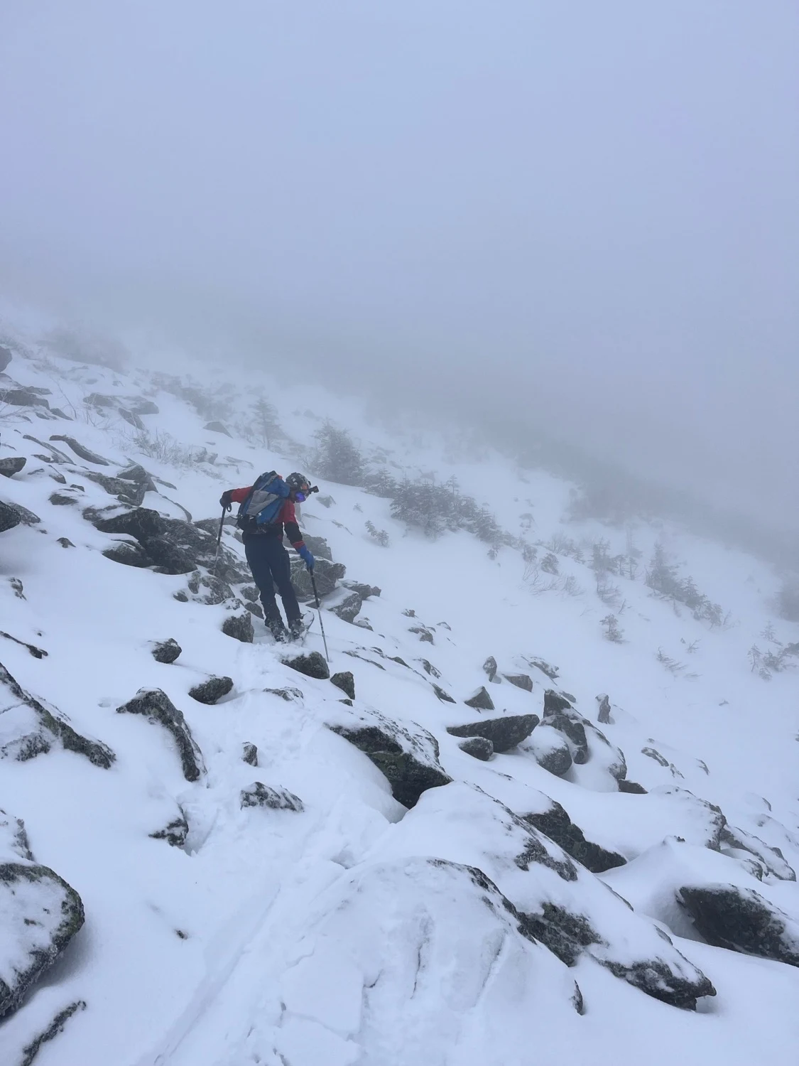
If you still want to explore this branch of Burt, skin up the Jewel Trail until just below Mount Clay. Pick your way through a talus field to a promising upper gully. A few nice turns quickly blend into heinous bushwacking. Fight your way into the creek and follow it to where you’ll emerge into an open patch. Here. A landslide on the skiers left wall merges into the drainage and opens up a section of good skiing, until you reach a waterfall. Bushwhack to the left to avoid it, then follow heinous bushwhacking through a low angle creek. Terrain only gets worse until you can exit the creek to the right and ski along side it in the woods. Cross the Clay Brook the skiers left side and try to locate an exit path marked with flagging, until you can join the Jewell Trail again. This line is best avoided unless it’s really filled in.
Burt Ravine North
Don’t do it. Okay maybe that’s harsh, just be aware of what you’re getting into. This line unfortunately doesn’t form except in very rare conditions, like the 2010 snow year. This line requires consistent heavy snowfall on east winds to fill in. Additionally, the many years without avalanches appear to have allowed trees to grow taller, and present a significant obstacle.
If you still want to explore this branch of Burt, skin up the Jewel Trail until just below Mount Clay. Pick your way through a talus field to a promising upper gully. A few nice turns quickly blend into heinous bushwacking. Fight your way into the creek and follow it to where you’ll emerge into an open patch. Here. A landslide on the skiers left wall merges into the drainage and opens up a section of good skiing, until you reach a waterfall. Bushwhack to the left to avoid it, then follow heinous bushwhacking through a low angle creek. Terrain only gets worse until you can exit the creek to the right and ski along side it in the woods. Cross the Clay Brook the skiers left side and try to locate an exit path marked with flagging, until you can join the Jewell Trail again. This line is best avoided unless it’s really filled in.
Length
1.9 mi
Elevation gain
92 ft
Elevation loss
-2,252 ft
Average slope angle
18º
Max slope angle
38º
Aspect
Interactive map preview
Open the full map for layers, filters, and route planning tools.
Open full mapYour next adventure starts here
Create your own maps with custom routes, waypoints, and layers. Then share with your friends to kick off your adventure planning.
