John Sherburne Ski Trail
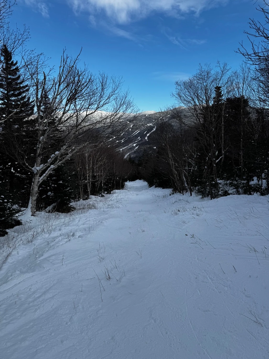
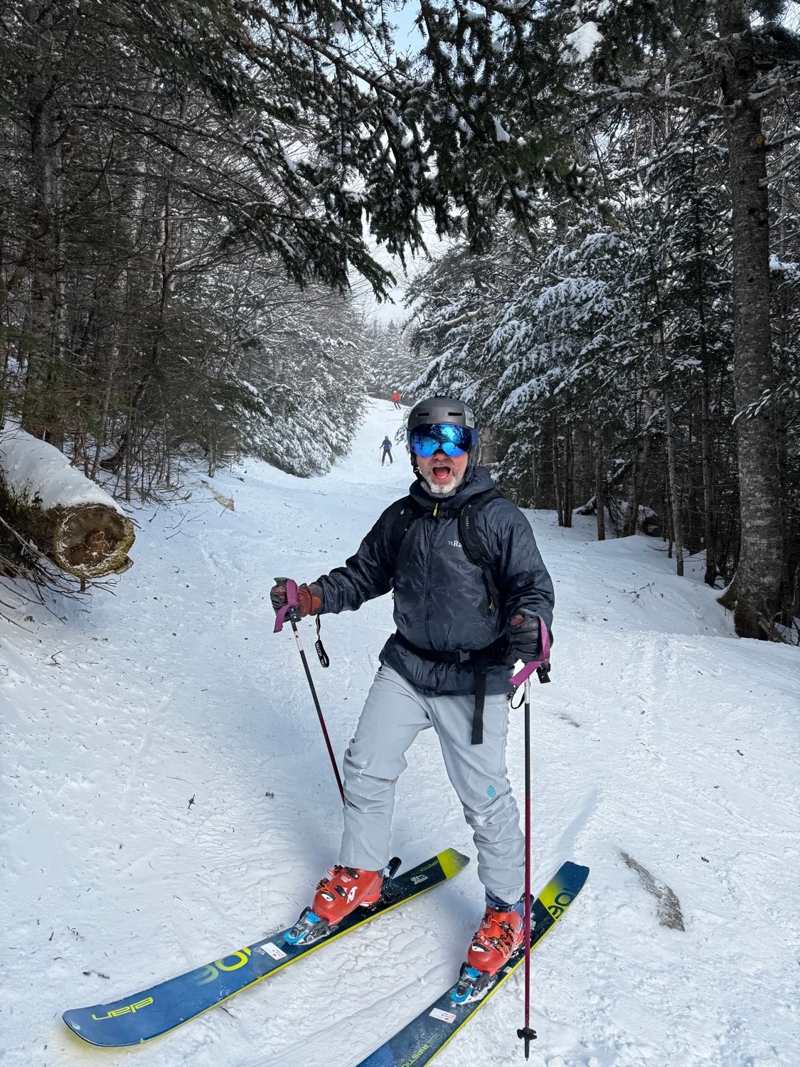
Known by most as simply “The Sherb” this is the ski trail to exit Tuckerman Ravine. Whether you’re heading back to your car in Pinkham after a huge day in the Ravine, or this is your first tour. The Sherb is enjoyed by many. If starting from Hermit Lake ski the initial hill and cross the bridge. If coming from Little Headwall or Hillman’s, you will be naturally funneled into the Sherb. Low angle turns lead to a long meandering section with moguls, good views of Wildcat and some fun jumps, eventually lead to a series of switchbacks. There’s usually a dirt patch or two to contend with here, as well as some side glades to explore. Cross the final bridge back to the big open field at Pinkham Notch Visitor Center.
This trail is intentionally closed, either partially or fully as it gets melted out in the spring. This is to prevent erosion from foot traffic. More erosion means bigger exposed rocks, meaning this trail will need significantly more snow to be skiable. Please preserve this trail by respecting the closures.
John Sherburne Ski Trail
Known by most as simply “The Sherb” this is the ski trail to exit Tuckerman Ravine. Whether you’re heading back to your car in Pinkham after a huge day in the Ravine, or this is your first tour. The Sherb is enjoyed by many. If starting from Hermit Lake ski the initial hill and cross the bridge. If coming from Little Headwall or Hillman’s, you will be naturally funneled into the Sherb. Low angle turns lead to a long meandering section with moguls, good views of Wildcat and some fun jumps, eventually lead to a series of switchbacks. There’s usually a dirt patch or two to contend with here, as well as some side glades to explore. Cross the final bridge back to the big open field at Pinkham Notch Visitor Center.
This trail is intentionally closed, either partially or fully as it gets melted out in the spring. This is to prevent erosion from foot traffic. More erosion means bigger exposed rocks, meaning this trail will need significantly more snow to be skiable. Please preserve this trail by respecting the closures.
Length
2.2 mi
Elevation gain
5 ft
Elevation loss
-2,009 ft
Average slope angle
15º
Max slope angle
31º
Aspect
Interactive map preview
Open the full map for layers, filters, and route planning tools.
Open full mapYour next adventure starts here
Create your own maps with custom routes, waypoints, and layers. Then share with your friends to kick off your adventure planning.
