Ammo Central Gully
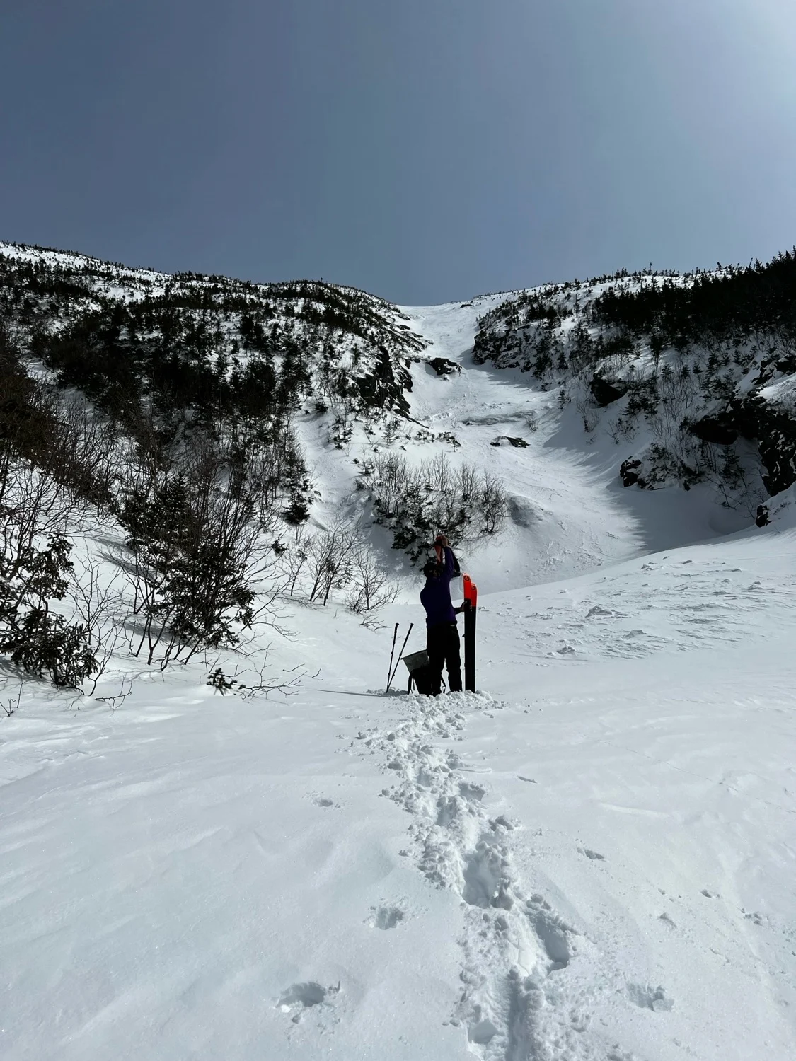
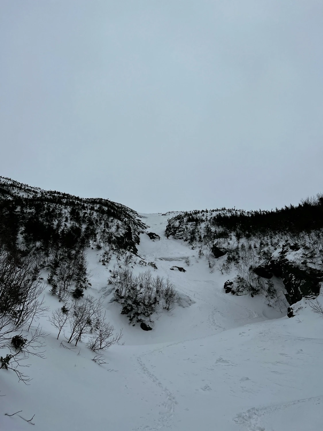
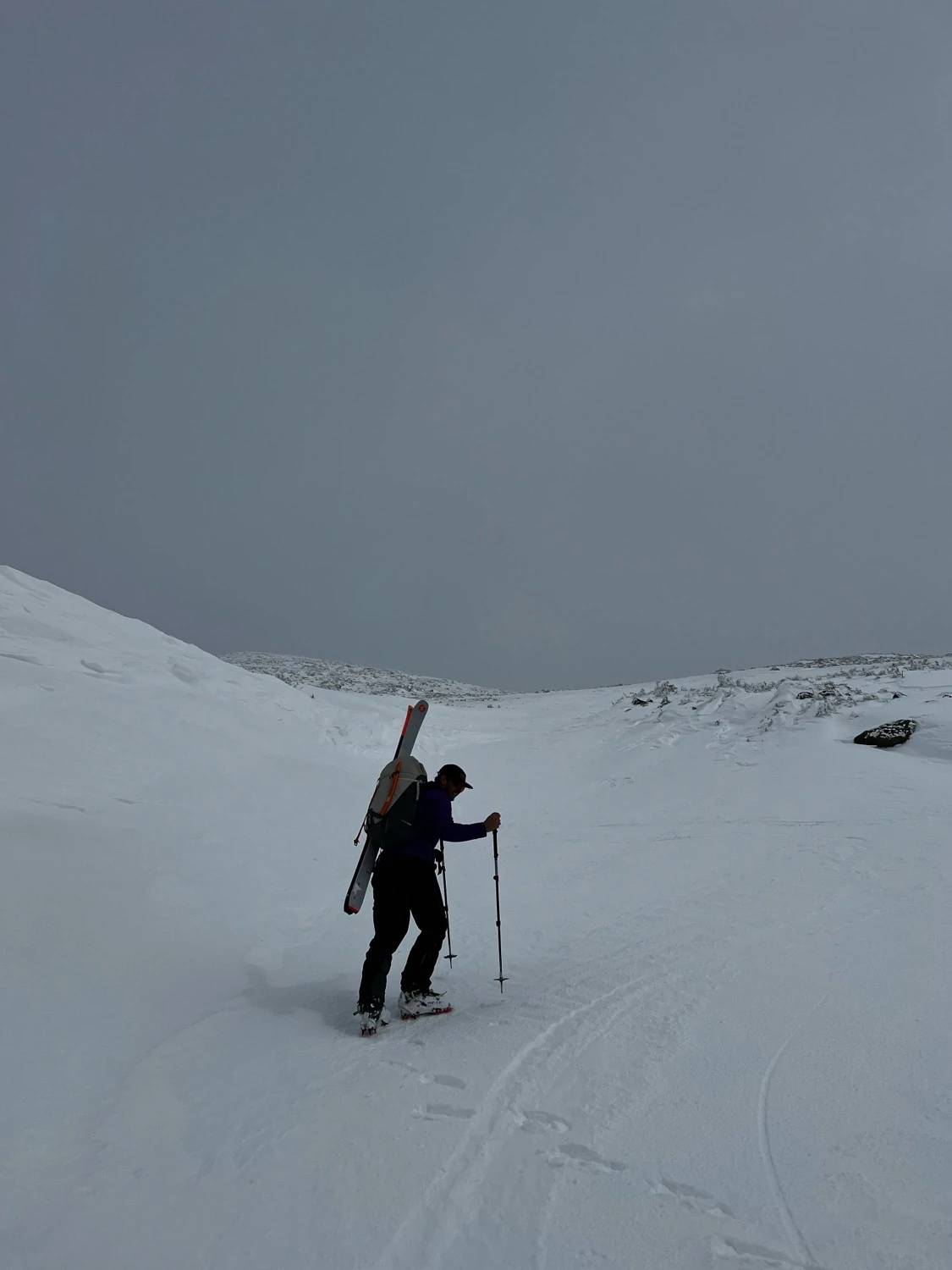
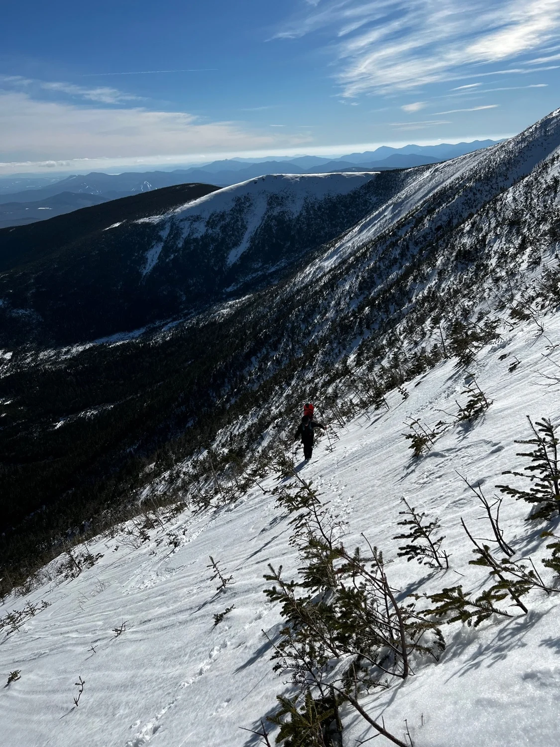
A long and steep gully in the South Branch of Ammo. It is possible to approach from Lake of The Clouds, but with open water and ice bulges, it’s best to approach from below to assess conditions. Skin along the Ammonoosuc Ravine Trail to just before it begins to ascend towards lake of the clouds. Break left and begin following a bushy drainage. Easy going at first, the skinning turns into technical side hilling around water holes until you reach a split. The left split is the North Branch. Hang a right and come to a second split. The right option is South Gully. The obvious center option is Central. Bootpack up the steep and sustained gully, until the angle eases. Follow the low angle gully to where it peters out just shy of the summit of Mount Washington.
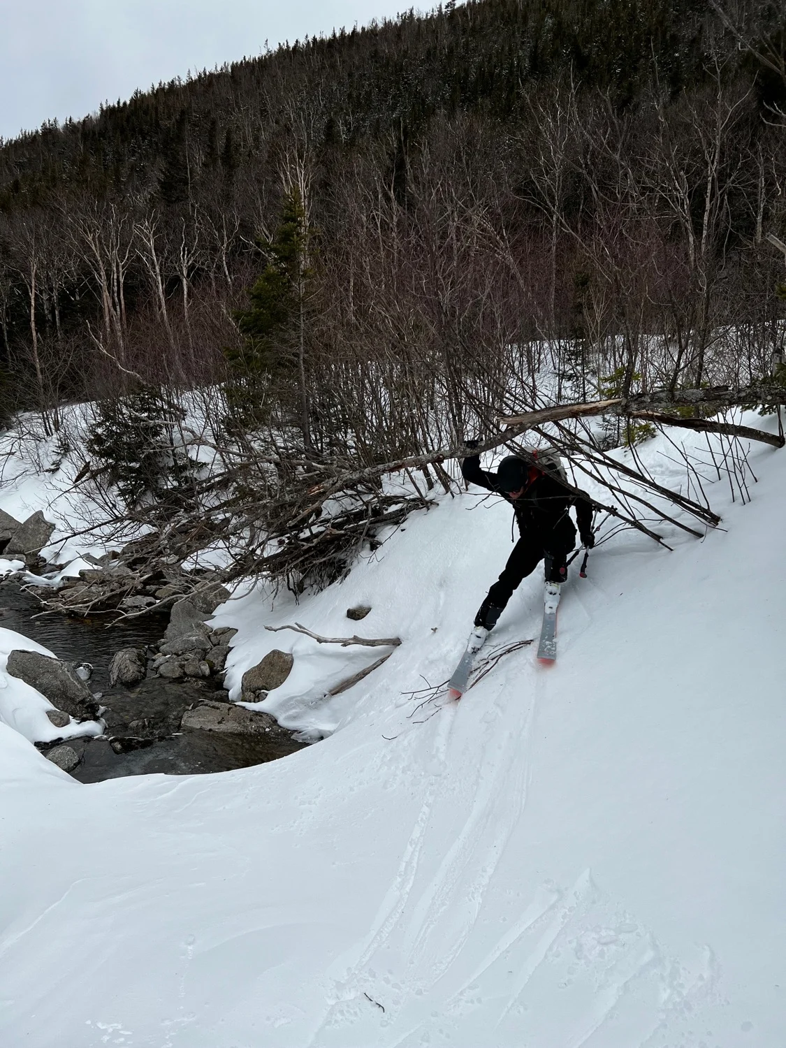
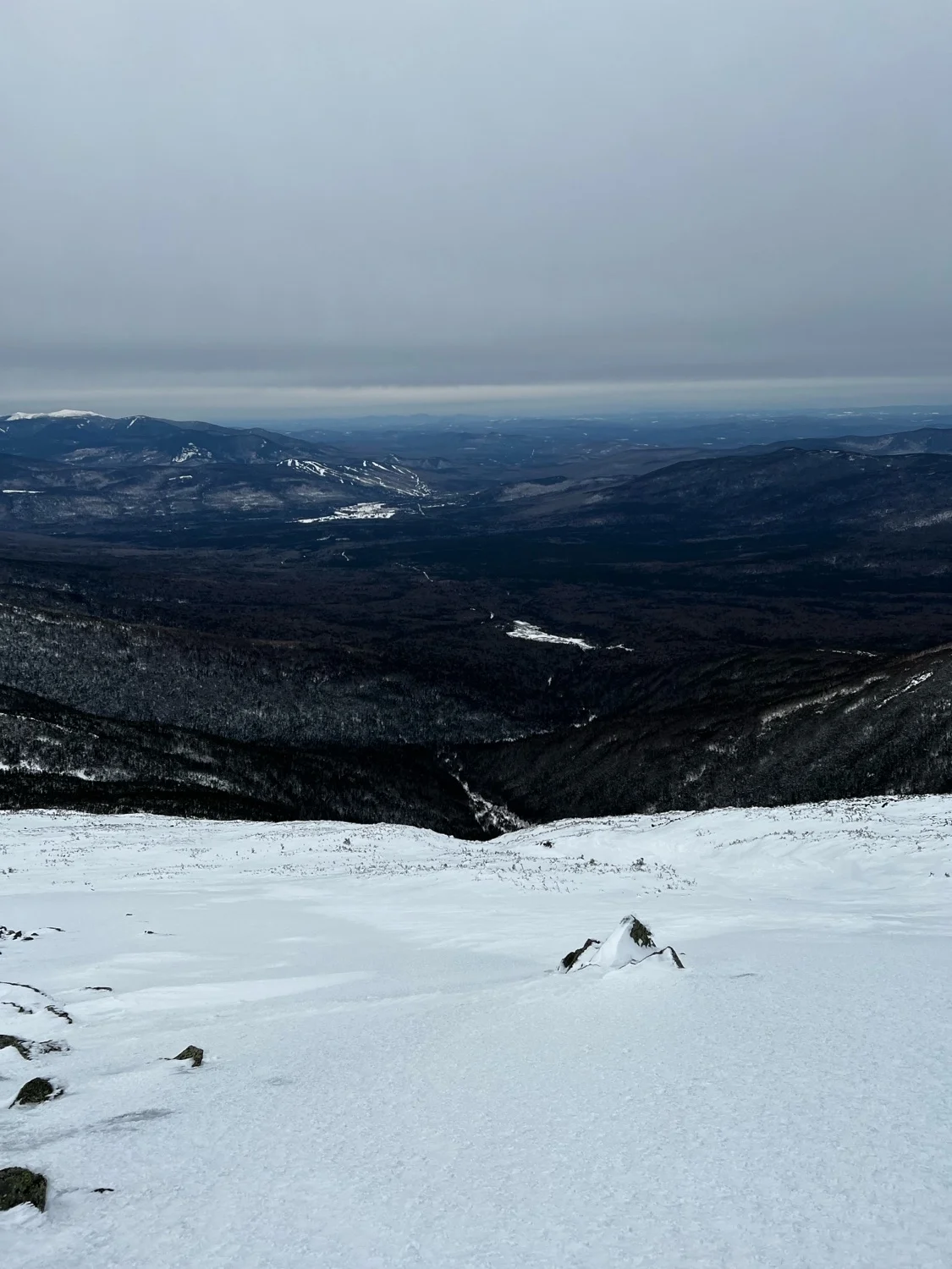
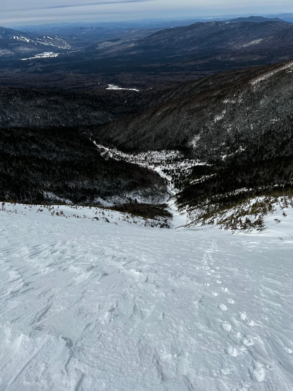
Ski the low angle upper gully until you reach the convex roll. An ice bulge is often present here that is easily skirted. Steep skiing leads to an abrupt flat spot, often sporting a water pool. Skier this and follow the path you skinned in back to the Ammonoosuc Ravine Trail.
Be aware that this area is a large terrain trap, and there have been avalanche fatalities here. Even a small amount of snow could sweep you into a flat spot or a water hole.
Ammo Central Gully
A long and steep gully in the South Branch of Ammo. It is possible to approach from Lake of The Clouds, but with open water and ice bulges, it’s best to approach from below to assess conditions. Skin along the Ammonoosuc Ravine Trail to just before it begins to ascend towards lake of the clouds. Break left and begin following a bushy drainage. Easy going at first, the skinning turns into technical side hilling around water holes until you reach a split. The left split is the North Branch. Hang a right and come to a second split. The right option is South Gully. The obvious center option is Central. Bootpack up the steep and sustained gully, until the angle eases. Follow the low angle gully to where it peters out just shy of the summit of Mount Washington.
Ski the low angle upper gully until you reach the convex roll. An ice bulge is often present here that is easily skirted. Steep skiing leads to an abrupt flat spot, often sporting a water pool. Skier this and follow the path you skinned in back to the Ammonoosuc Ravine Trail.
Be aware that this area is a large terrain trap, and there have been avalanche fatalities here. Even a small amount of snow could sweep you into a flat spot or a water hole.
Length
1.0 mi
Elevation gain
4 ft
Elevation loss
-2,425 ft
Average slope angle
26º
Max slope angle
44º
Aspect
Interactive map preview
Open the full map for layers, filters, and route planning tools.
Open full mapYour next adventure starts here
Create your own maps with custom routes, waypoints, and layers. Then share with your friends to kick off your adventure planning.
